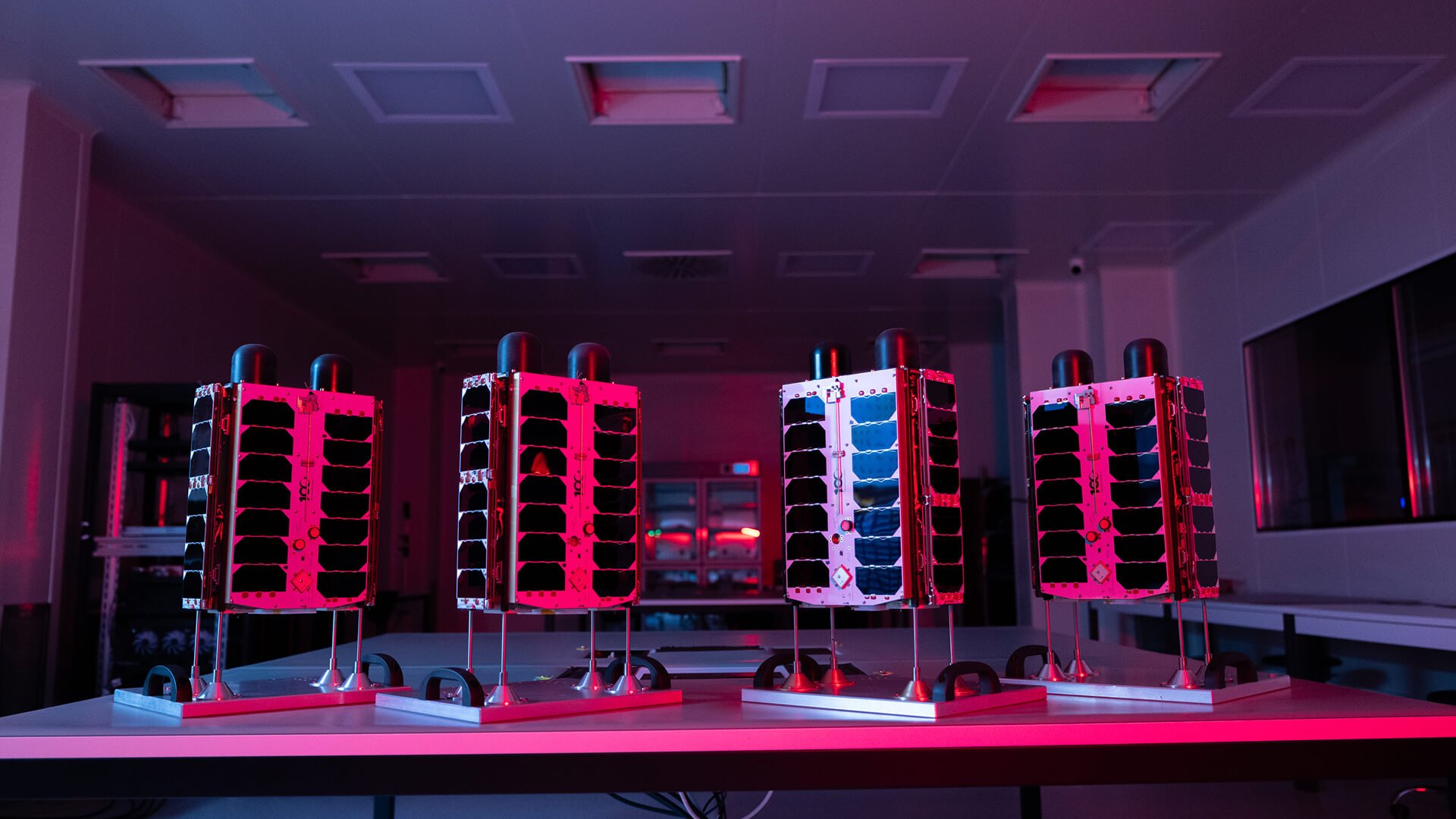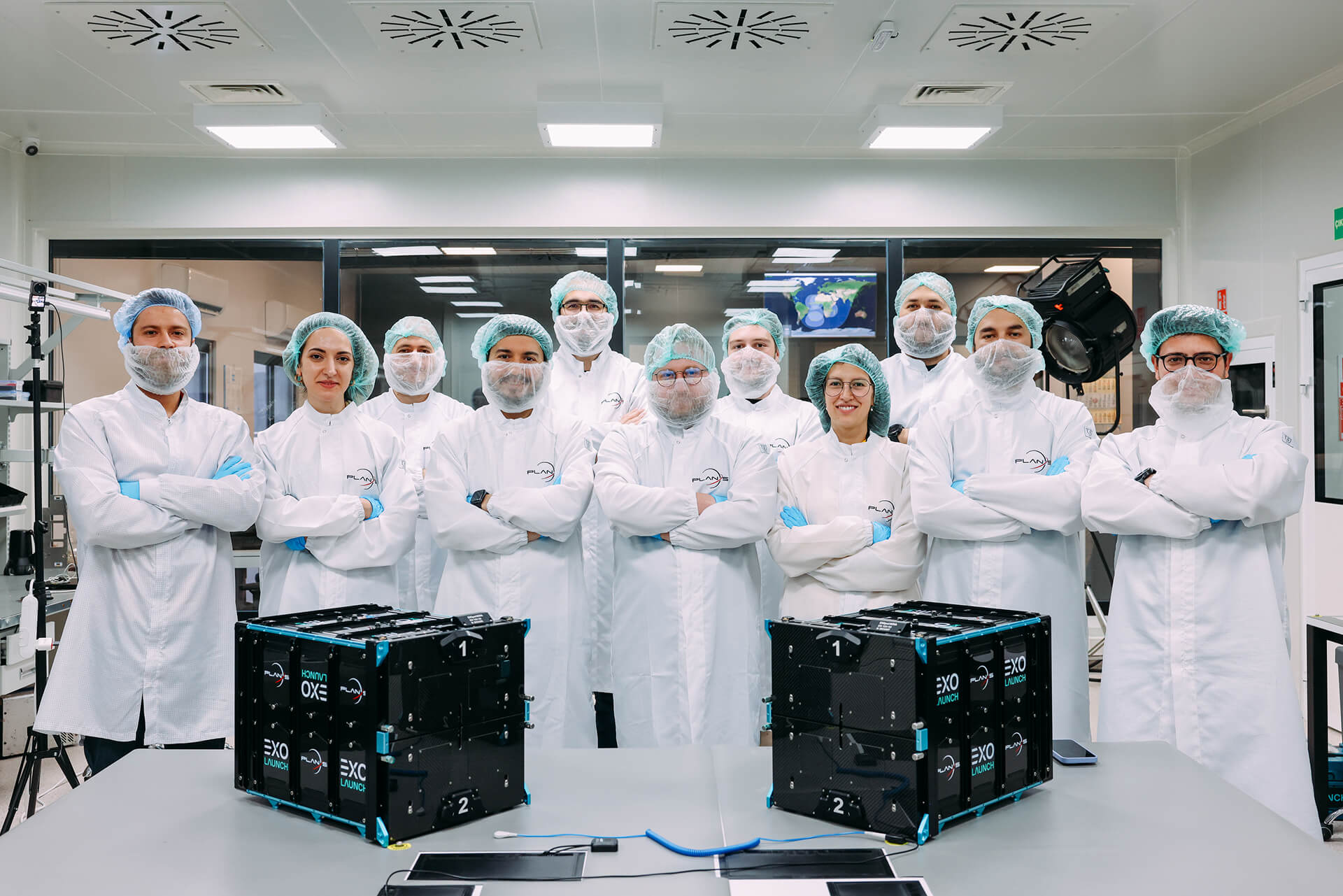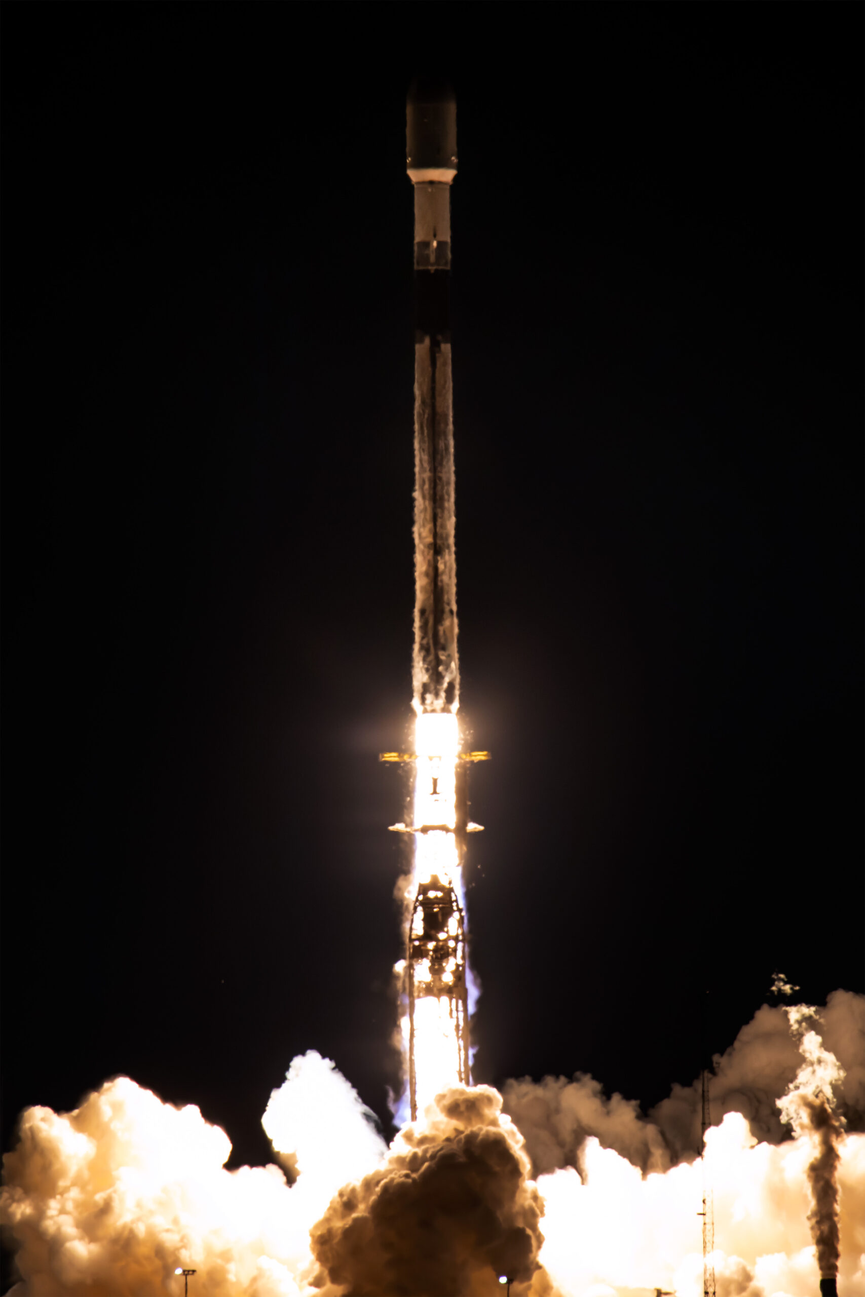
Plan-S Expanted Connecta Constellation to 16, Launched 4 New Satellites More
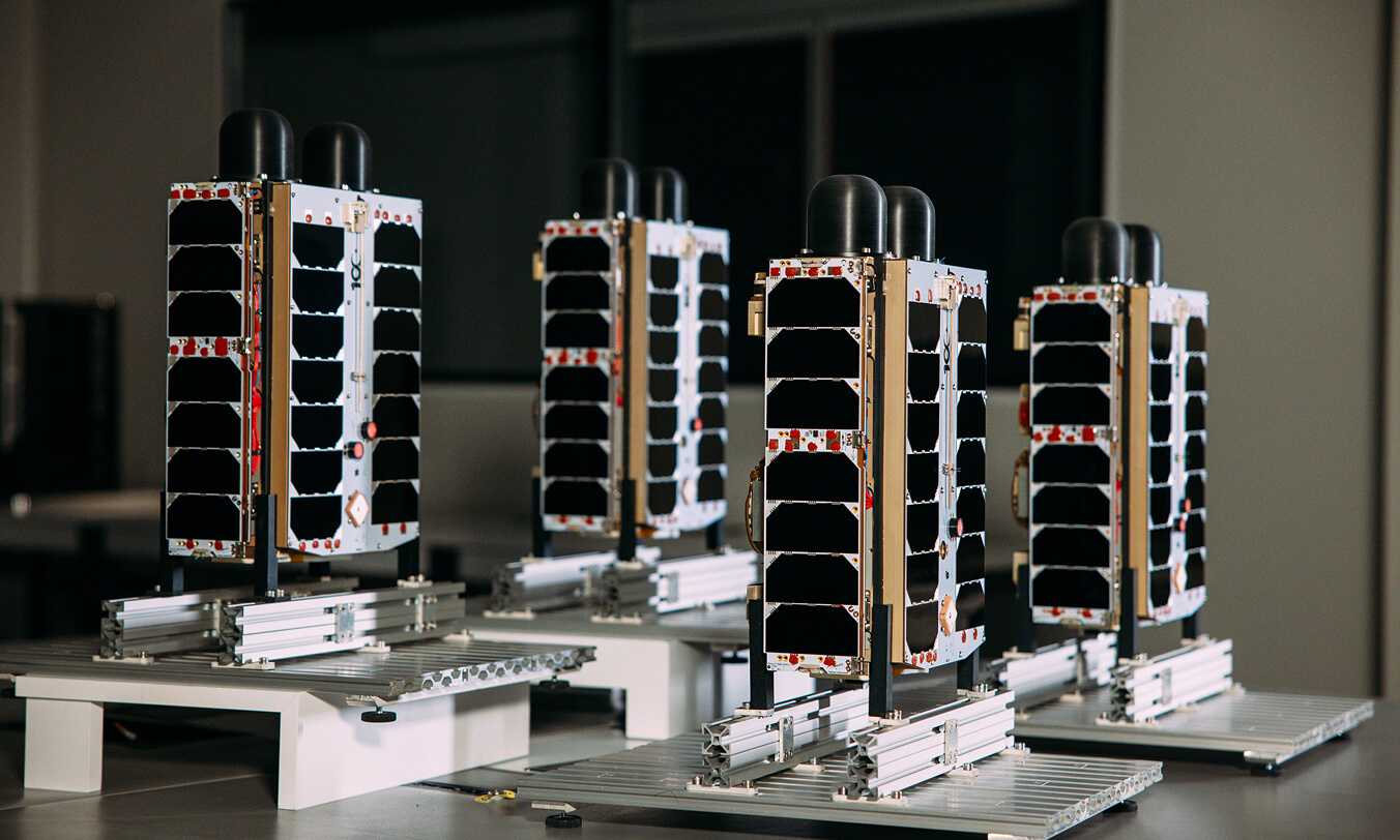
Plan-S, one of Türkiye’s leading companies in the global space sector, has successfully launched four new Connecta Internet of Things (IoT) satellites into orbit as part of SpaceX’s Twilight mission, increasing its total number of active IoT satellites to 16.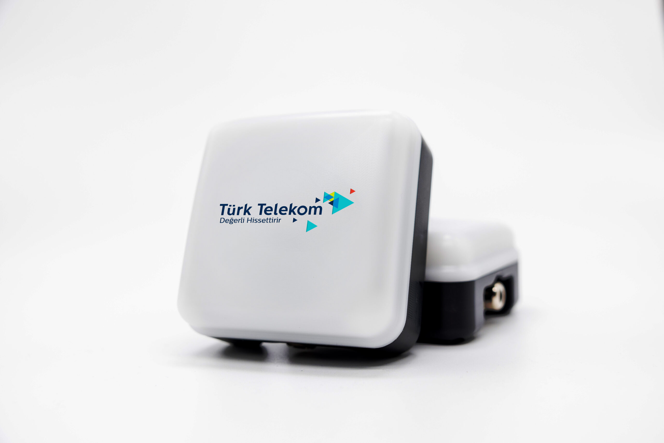
Plan-S and Türk Telekom Forge Strategic Collaboration in Satellite-Based Internet of Things
Plan-S, Türkiye’s next-generation satellite and space technologies company, and Türk Telekom, a pioneer in digital transformation, have signed a strategic agreement to disseminate satellite-based Internet of Things (IoT) services across Türkiye and offer them integrated into Türk Telekom’s solutions. Under the agreement, Türk Telekom will incorporate the Low Earth Orbit (LEO) satellite IoT connectivity service, provided by Connecta (a 100% subsidiary of Plan-S), into its own product portfolio.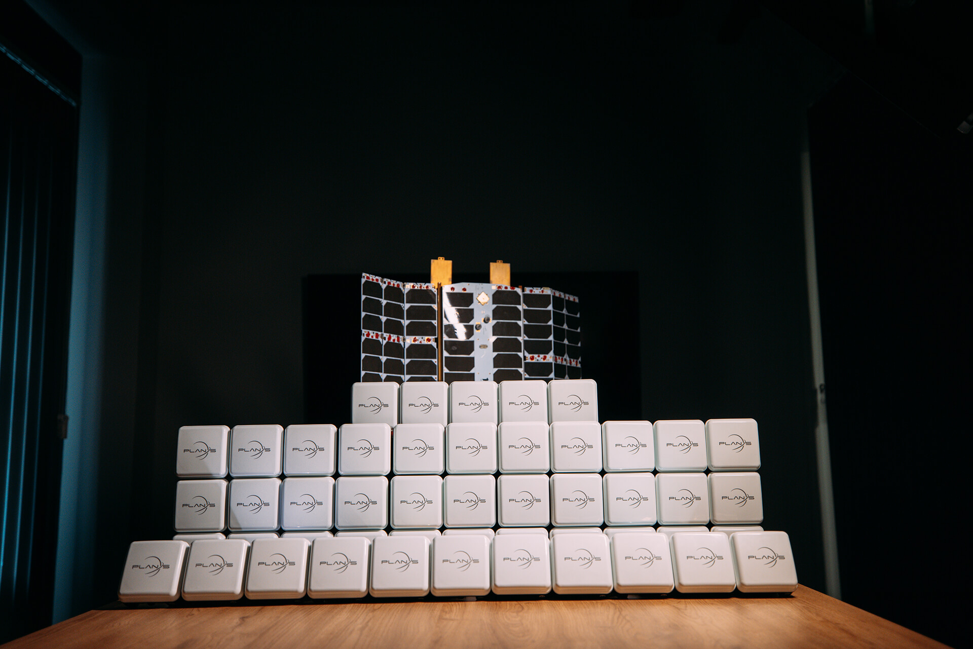
Plan-S Strengthens Its Position in the Global Market with Turkish Satellite Technologies
Following the completion of regulatory processes in Türkiye, Australia, and Denmark for satellite-based Internet of Things (IoT) communications, Plan-S has reached a significant milestone in its global growth strategy.


Building next-generation satellite solutions for tomorrow’s intelligent and interconnected space infrastructure.
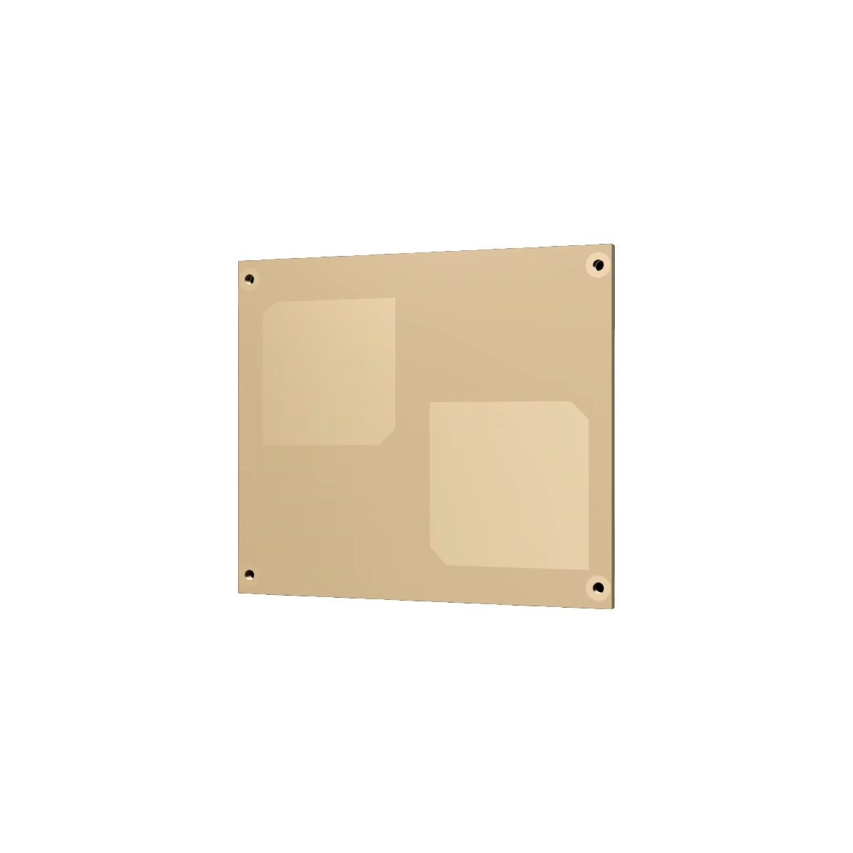
Since 2021, Plan-S has been developing satellite platforms, subsystems, and mission payloads for advanced space-based systems and services.
Since 2021, Plan-S has been developing IoT and Earth observation satellites to deliver space-based solutions for the planet’s most critical challenges.
01 / 04
SPACE SERVICES
From Idea to Orbit, End-to-End Space Solutions
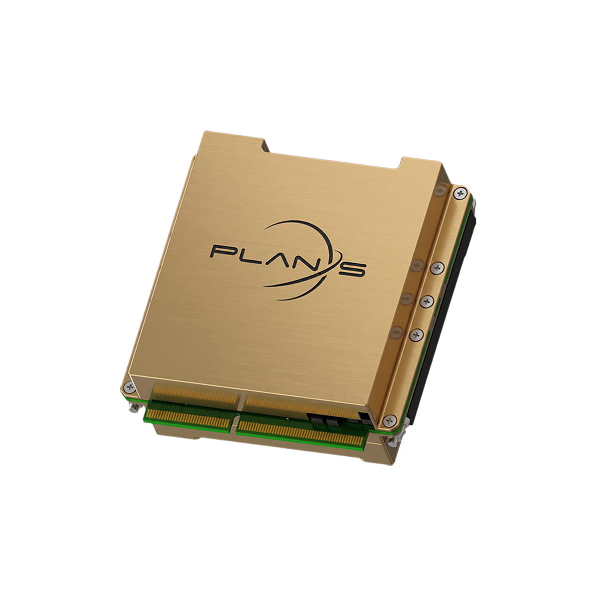
Plan-S designs and delivers complete satellite platforms, subsystems, and mission-specific payloads across the full lifecycle, from design and manufacturing to launch, in-orbit commissioning, operations, and mission data delivery.
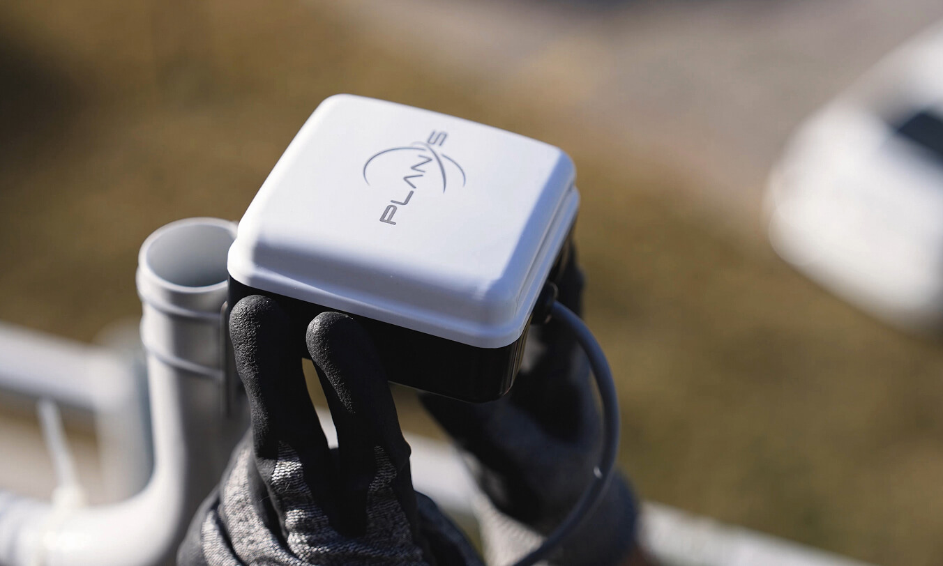
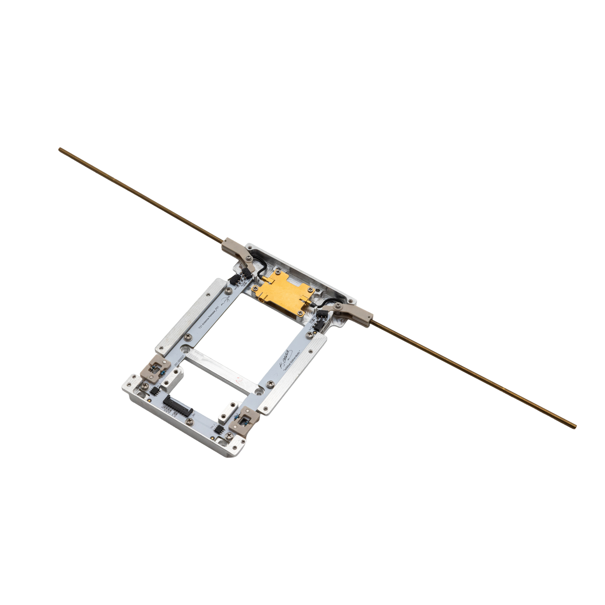
CONNECTA
Seamless IoT Connectivity, Anywhere on Earth
Connecta delivers seamless satellite IoT connectivity that keeps devices online beyond terrestrial coverage, so operations stay visible, responsive, and in control anywhere.
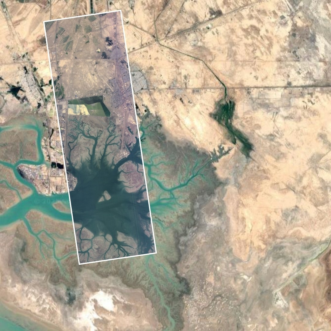
OBSERVA
Transforming Space Data to Actionable Decisions
Observa delivers action-ready insights by combining space data with advanced analytics and AI-powered processing, transforming space data sources into reliable intelligence that supports informed and timely decision-making.
INDUSTRIES WE SERVE
Powering Industries with Space-Based Services
Across industries, operational efficiency, resilience, and visibility are critical. Plan-S delivers space-based services through Connecta and Observa that help organizations monitor, connect, and understand their assets, operations, and environments at scale.
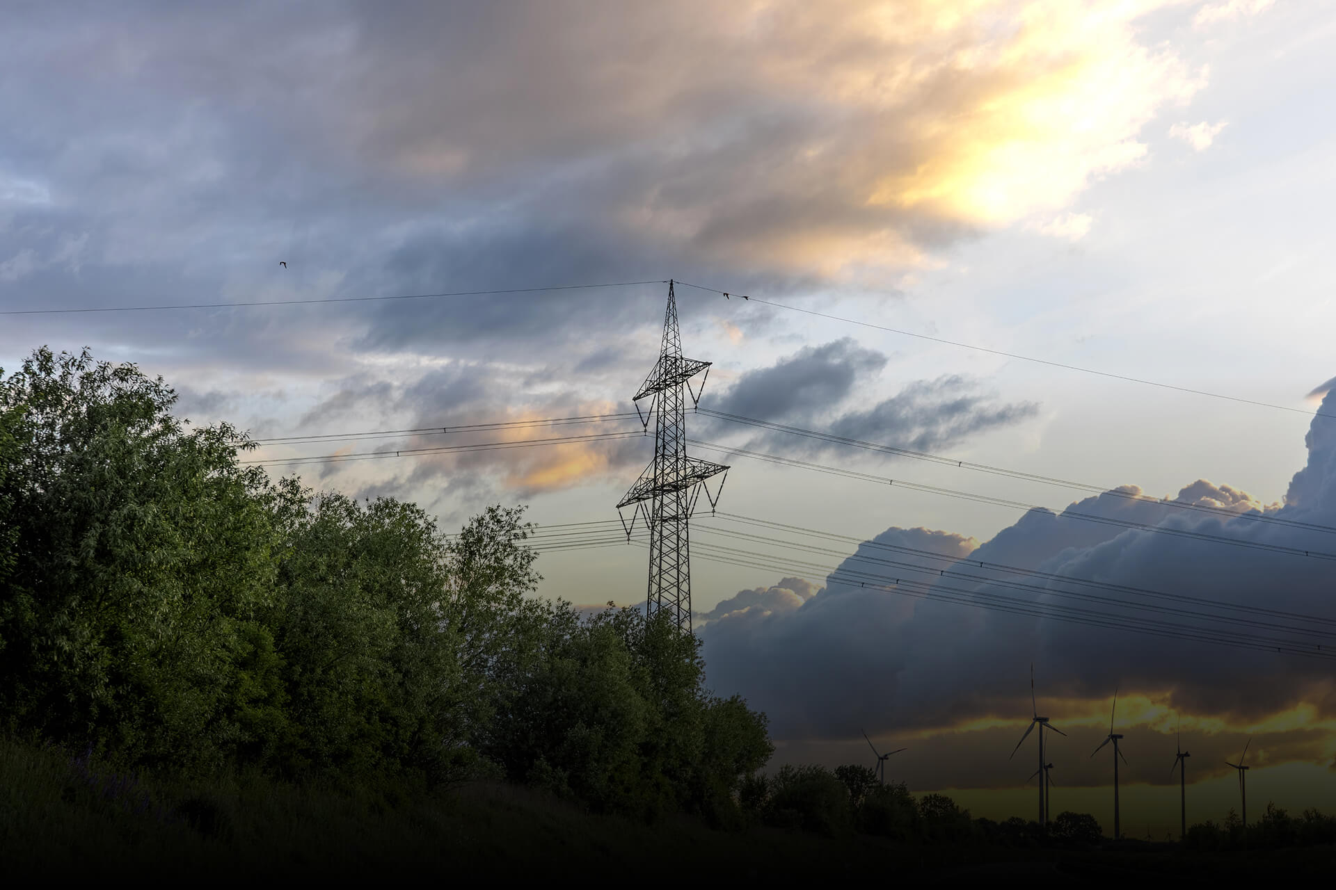
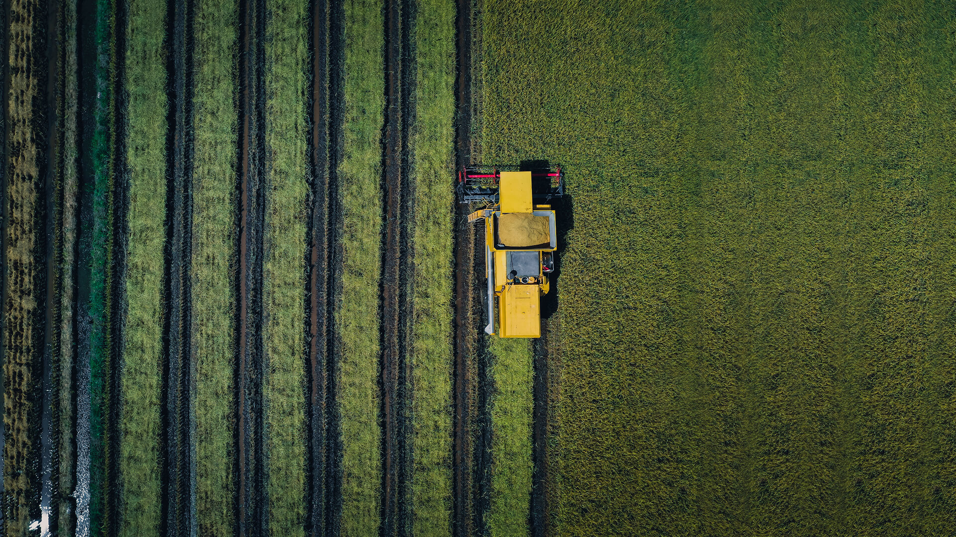
Energy
Continuous visibility across meters, tanks, lines, and corridors improves loss control, targets inspections, strengthens safety oversight, and keeps delivery more reliable.


WHITE PAPERS
Proven Outcomes and Measurable Impacts from Real World Applications
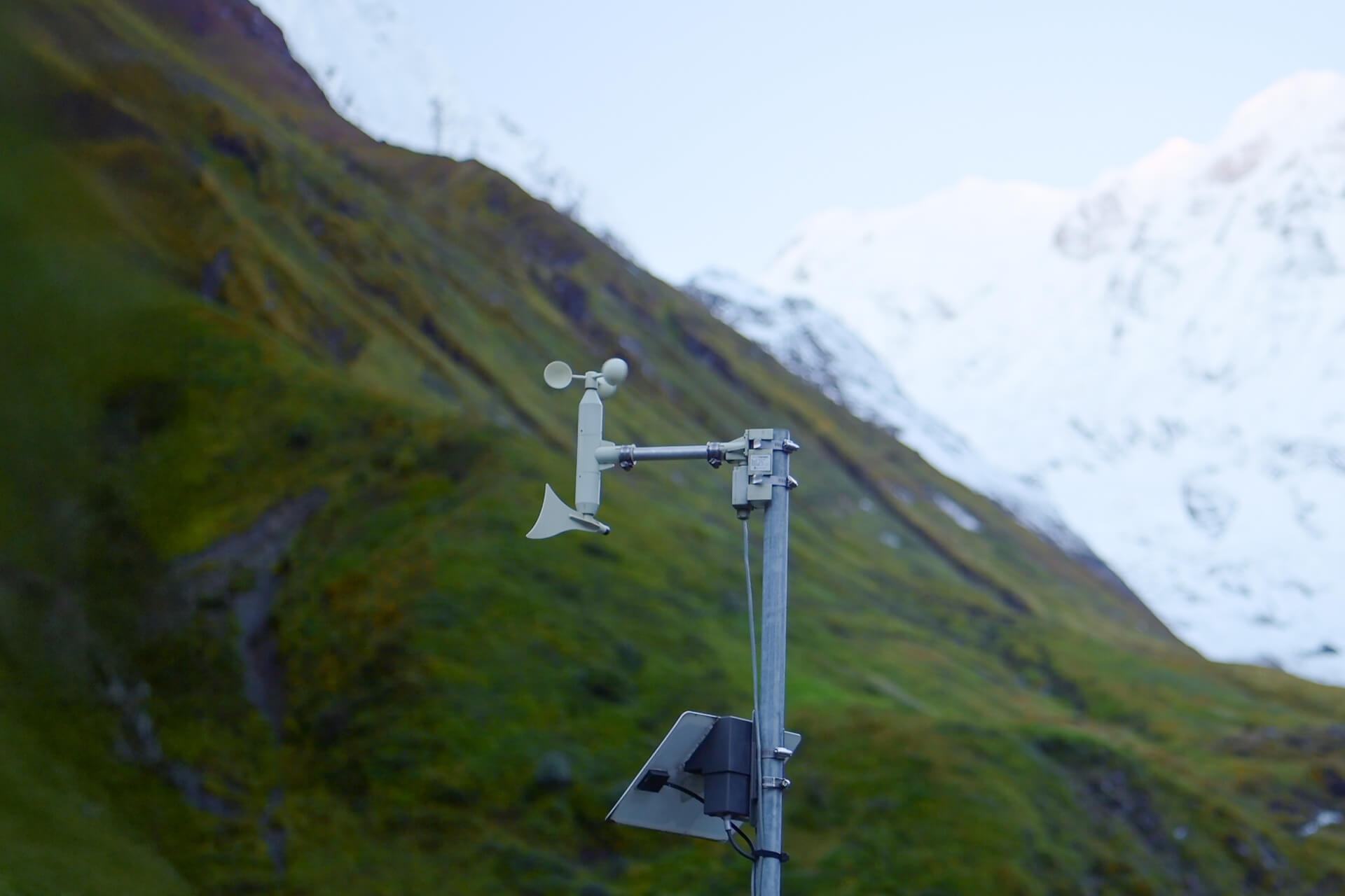
In field tests across regions without GSM coverage, smart meter data was transmitted reliably via the Connecta IoT Modem Lite, proving seamless and secure connectivity.
Download White Paper
Go beyond the headlines and see what powers real deployments. Explore the technical thinking and field learnings behind Connecta and Observa. For solution evaluation or rollout planning, this is where clarity turns into confident decisions.
TRACK RECORDS
Every Launch, A Milestone Towards the Future
In just four years, Plan-S has launched 21 satellites, proving flight heritage at scale and accelerating toward a constellation of hundreds by 2030.


ABOUT PLAN-S
From Vision to Orbit, Where Space Strategy Takes Off
Plan-S was founded with a bold vision: To become the premier space technology company driving the transition to smarter space systems. Plan-S designs, manufactures, launches, and operates advanced satellite systems entirely in-house, powered by a world-class dedicated team and fully integrated capabilities across the space value chain.