Carbon Footprint to Be Reduced, Rapid Detection in Disasters Enabled OEDAŞ to Monitor Electrical Grid and Lighting via Satellite
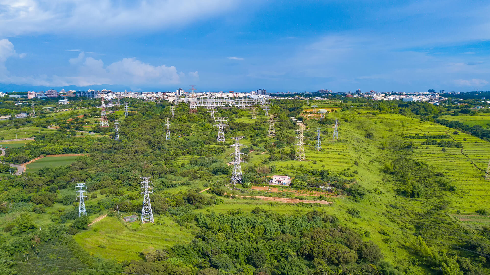
Electricity distribution company OEDAŞ is pioneering a new initiative by implementing a system to monitor potential faults in its electrical grid and street lighting via satellite, in cooperation with space technology company Plan-S.
February 1, 2025
4 minute reading
#CONNECTA
#EDAŞ
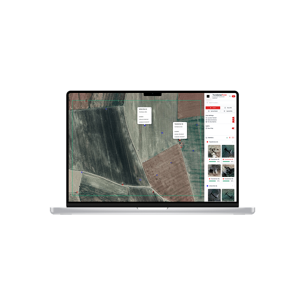
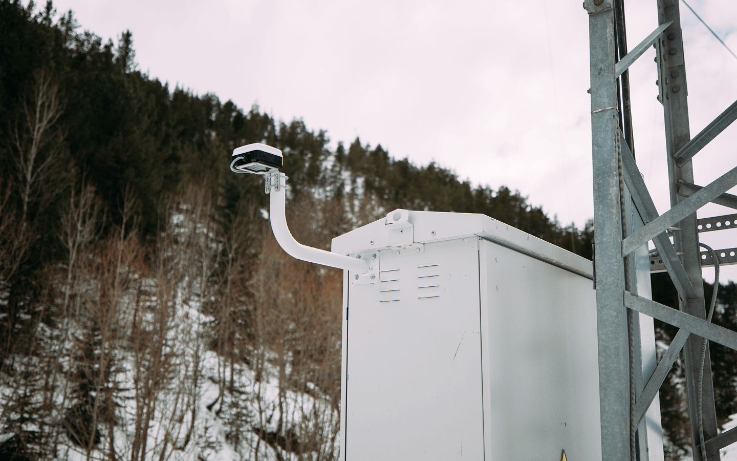
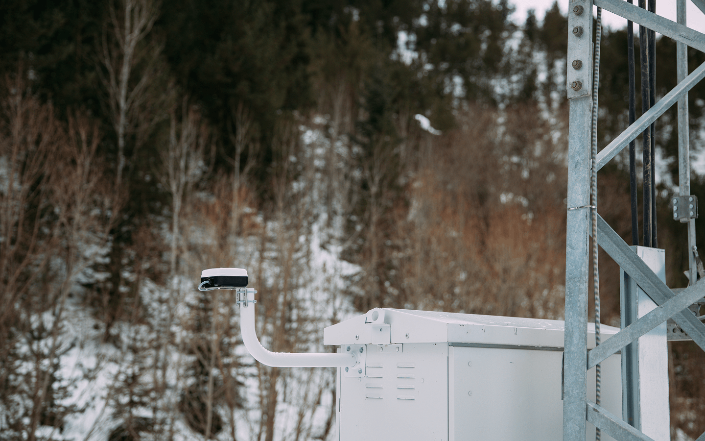
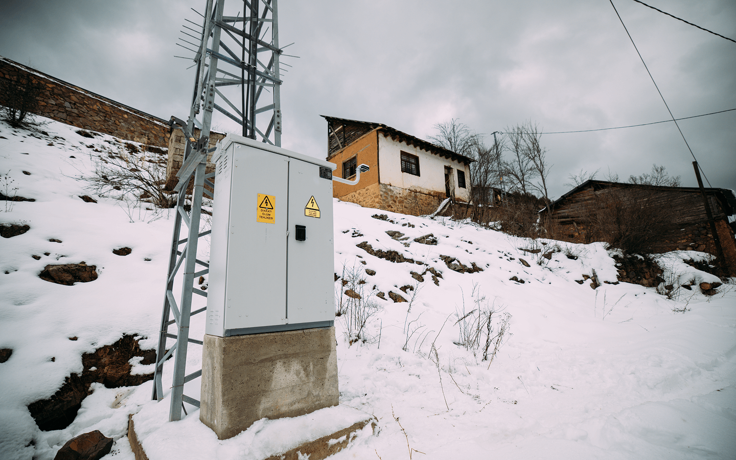
The system, developed in collaboration with satellite and space technology company Plan-S, will be used in areas with weak GSM signal strength, with a neighborhood in a rural part of Afyonkarahisar selected for the pilot application. This will allow OEDAŞ to detect faults and initiate necessary work without consumers in these areas needing to report them by phone.
The system will also enable much faster identification of areas experiencing faults and outages during potential disasters. Furthermore, since monthly on-site meter readings for energy consumption data will be conducted via satellite, vehicle usage will be reduced. For each point where OEDAŞ uses the system, it will prevent approximately 1 ton of carbon emissions annually.
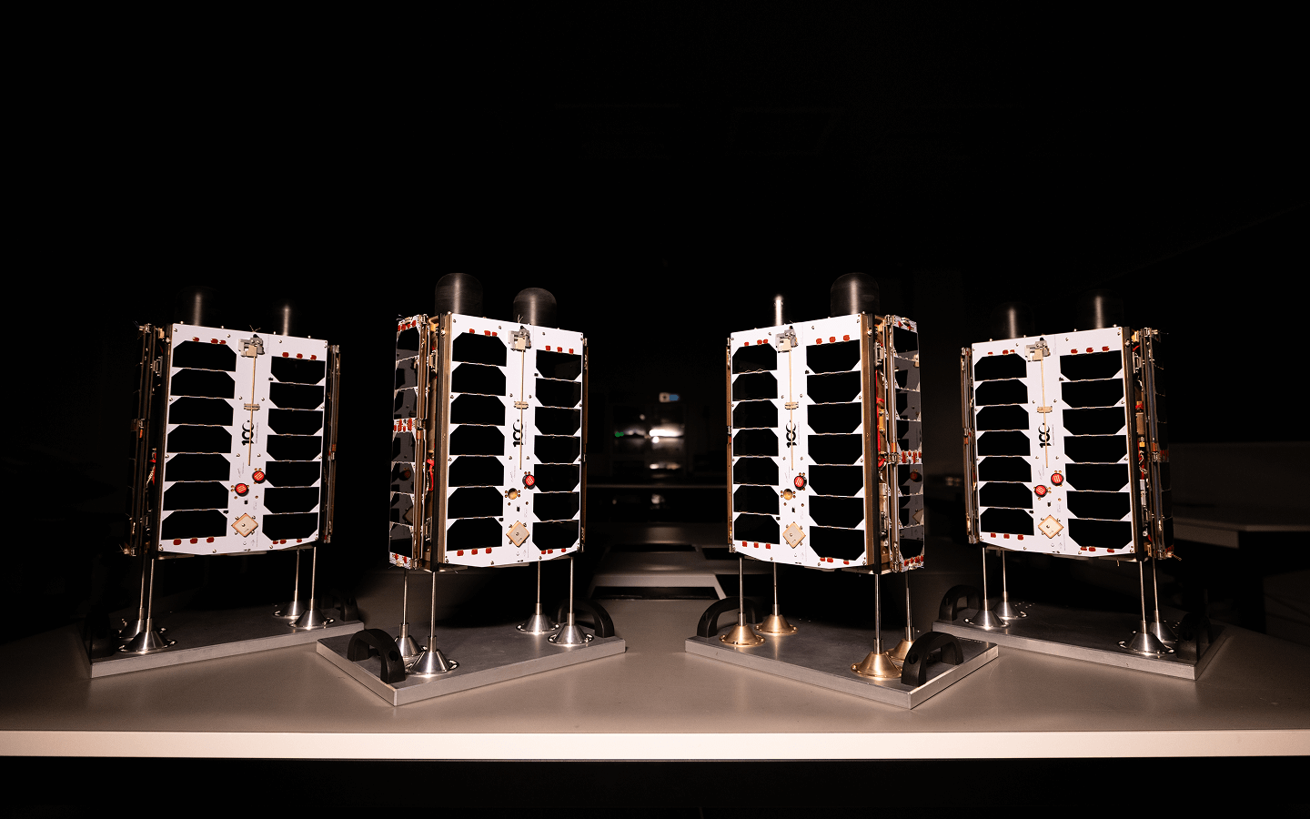
Osmangazi Electricity Distribution Inc. (OEDAŞ), which operates in Afyonkarahisar, Bilecik, Eskişehir, Kütahya, and Uşak, is implementing another first by starting to use a system that can track potential faults in electrical grids and lighting via satellite. The system, developed in cooperation with satellite and space technology company Plan-S, will be used in regions with weak GSM signal strength.
How does the system work?
For the pilot application of the new system, OEDAŞ identified a neighborhood in a rural area of Afyonkarahisar with a total of 120 subscribers. Since the GSM signal strength in the area is weak, consumers had difficulty reporting power outages or lighting faults to OEDAŞ. With the newly implemented system, the electrical grid and lighting are continuously monitored via information from satellites. Thus, OEDAŞ detects faults and carries out the necessary work without the region’s consumers needing to make reports.
Rapid Response Possible in Potential Disasters
One of the most important advantages of the new system is that the information coming via satellite is not interrupted during disasters such as earthquakes. In such a situation, OEDAŞ officials will be able to easily identify faults in all areas where the satellite system is used and intervene in a more coordinated manner.
Approximately 1 Ton Less Carbon Emitted Per Area
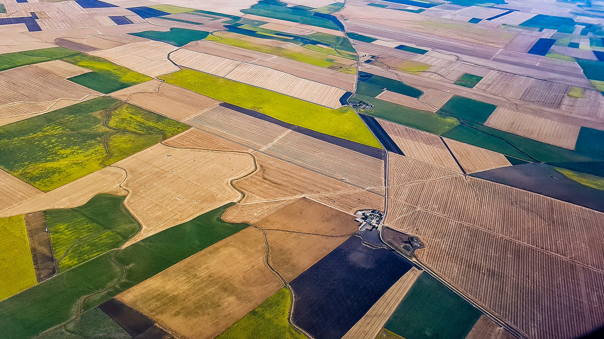
The satellite-based monitoring system will be used not only for grid and lighting monitoring but also for measuring the region’s energy consumption data. Under normal circumstances, the area is visited regularly every month to perform meter measurements to gauge energy consumption. OEDAŞ, which serves five provinces spread over an area of approximately 50,000 square kilometers, will prevent excessive vehicle use by performing these measurements remotely via satellite. This will result in around 1 ton less carbon emissions annually for each region where the system is used.
Satellite Monitoring Service to Be Expanded Throughout the Service Area
OEDAŞ, which started the pilot application in a rural neighborhood, has identified all residential areas with weak GSM signal strength within its service region. Furthermore, since all operational processes of Plan-S satellites occur within the country, a fully domestic solution is provided without data leaving the national borders.
Fuat Celepci: “We will provide continuous monitoring and rapid intervention with satellite technology”
OEDAŞ General Manager Fuat Celepci stated that electricity distribution services are strengthened not only by infrastructure investments but also by advanced monitoring and intervention systems. “Thanks to satellite-based monitoring technology, we will provide much faster and more effective solutions in areas with low GSM signal quality. Without waiting for our consumers to contact us, we will instantly detect potential faults and take action. On the other hand, thanks to this system, in the event of a major disaster, without being affected by disruptions in communication lines, we can continuously receive data flow via satellite, quickly identify areas experiencing faults and outages, direct our teams to the right points swiftly, and manage the post-disaster response process most efficiently. Additionally, with this system, we will optimize our field operations, reduce carbon emissions, and fulfill our environmental responsibility. We thank Plan-S for cooperating with us on this project and demonstrating their expertise at every stage. As OEDAŞ, we will continue to take pioneering steps in the sector with our deep-rooted experience and commitment to innovation,” he said.
Tugay Güzel: “We are detecting faults in electrical grids from space”
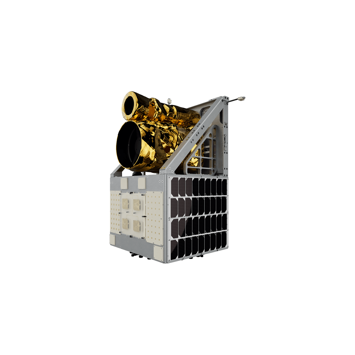
Plan-S CEO Tugay Güzel highlighted the innovative applications of satellite technology in the energy sector, stating, “Satellite-based solutions provide a significant transformation for the effective monitoring of electricity distribution networks and contributing to fault detection. Thanks to our satellite-based IoT communication technology, we can detect faults occurring in electrical grids and lighting, providing information without consumers needing to report outages. This technology allows for data on disruptions and faults in critical infrastructure, especially during disaster scenarios, to reach data centers via satellites without the need for terrestrial internet connectivity.”
NEWS
Related Insights
Explore how space assets and ground infrastructure work together, use cases, architectures, and field results from Plan-S projects.
Plan-S Expanted Connecta Constellation to 16, Launched 4 New Satellites More
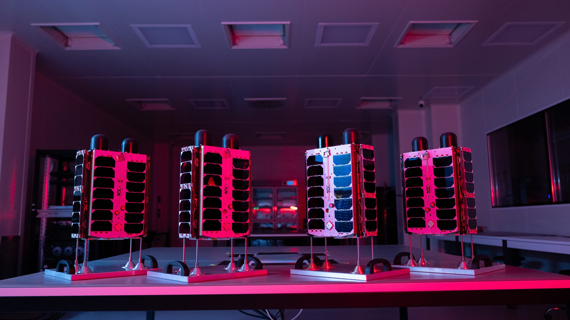
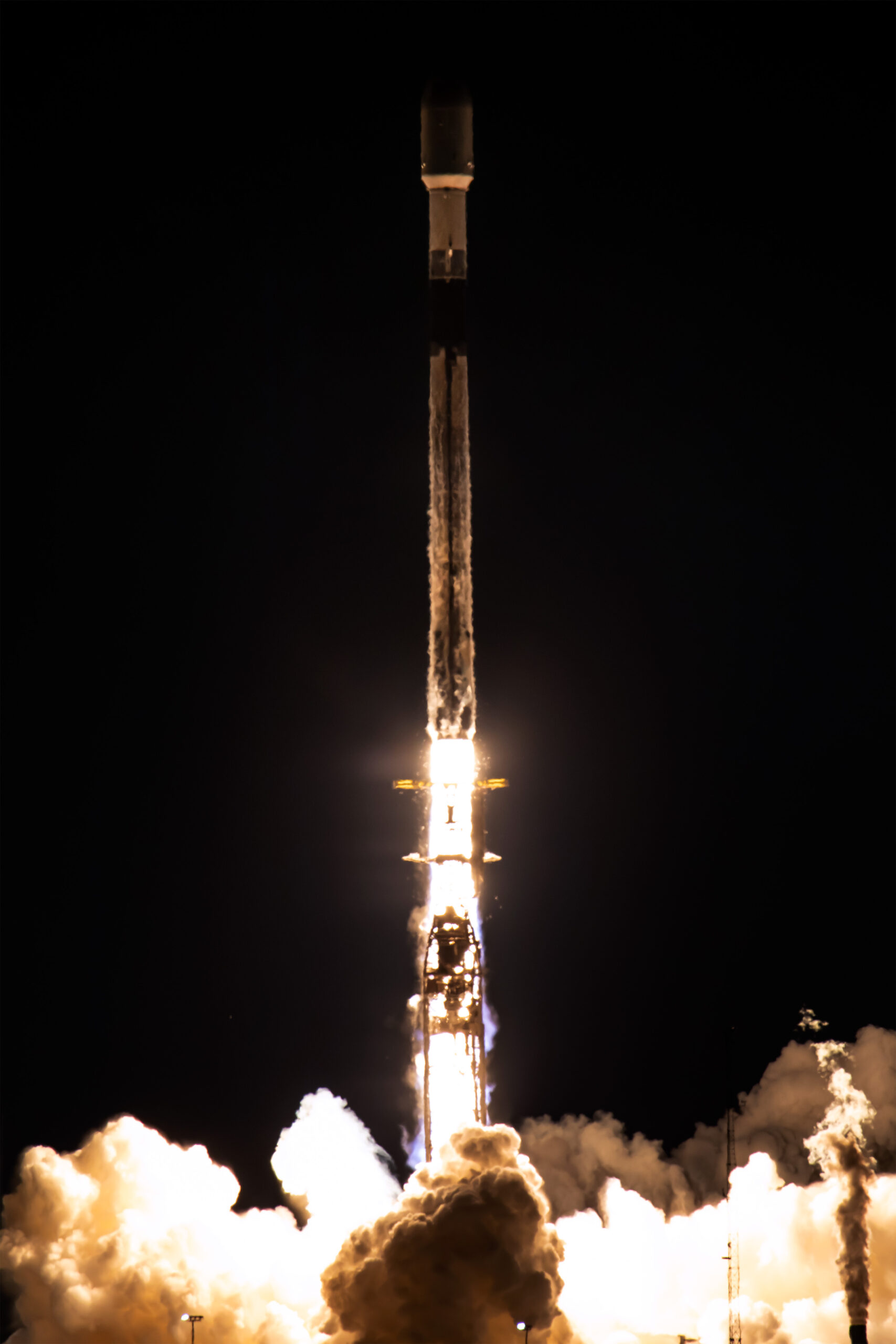
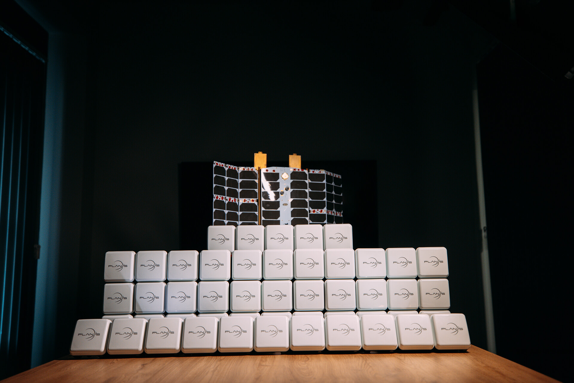
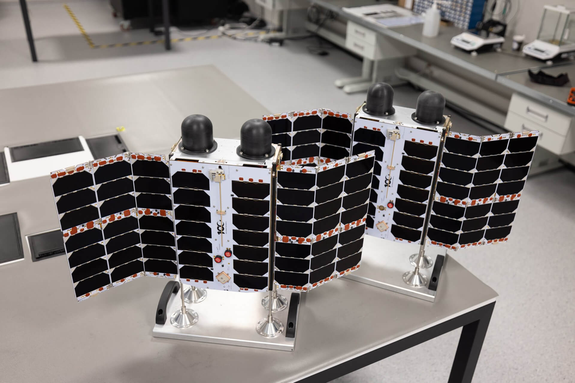
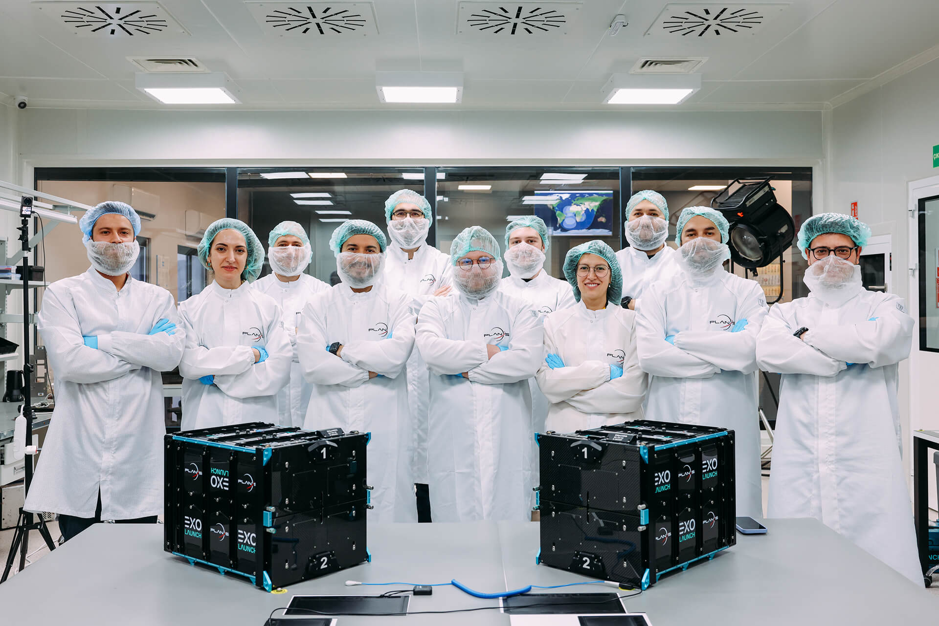
Plan-S, one of Türkiye’s leading companies in the global space sector, has successfully launched four new Connecta Internet of Things (IoT) satellites into orbit as part of SpaceX’s Twilight mission, increasing its total number of active IoT satellites to 16.
Plan-S and Türk Telekom Forge Strategic Collaboration in Satellite-Based Internet of Things
Plan-S, Türkiye’s next-generation satellite and space technologies company, and Türk Telekom, a pioneer in digital transformation, have signed a strategic agreement to disseminate satellite-based Internet of Things (IoT) services across Türkiye and offer them integrated into Türk Telekom’s solutions. Under the agreement, Türk Telekom will incorporate the Low Earth Orbit (LEO) satellite IoT connectivity service, provided by Connecta (a 100% subsidiary of Plan-S), into its own product portfolio.
Plan-S Strengthens Its Position in the Global Market with Turkish Satellite Technologies
Following the completion of regulatory processes in Türkiye, Australia, and Denmark for satellite-based Internet of Things (IoT) communications, Plan-S has reached a significant milestone in its global growth strategy.
Plan-S Honored with Three Prestigious Awards from Great Place to Work®!
These results are a testament to the excellence Plan-S has achieved not only in technology but also in its corporate culture.
5G Service to Get a Boost from Space
The next-generation Connecta IoT satellites, scheduled for launch next year, will be equipped with 5G NB-IoT technology.
Plan-S to Introduce Türkiye to New Satellite Services, Announces Global Expansion and Ambitious Constellation Roadmap
Plan-S, a leading player in Türkiye’s burgeoning space sector, is set to introduce a new era of domestic satellite services, focusing on the commercialization of space.
License Granted for Türkiye’s First LEO Satellite Constellation
This historic step is not only a first for Türkiye but also creates powerful momentum for Plan-S’s goal of providing satellite-based IoT services in global markets.

Plan-S Installs Satellite Tracking Technology on METU’s Research Vessel
The flagship vessel of METU’s Institute of Marine Sciences, a leading institution in maritime research, R/V Bilim-2, will be tracked for 45 days by the domestic satellite-based tracking system developed by Plan-S.
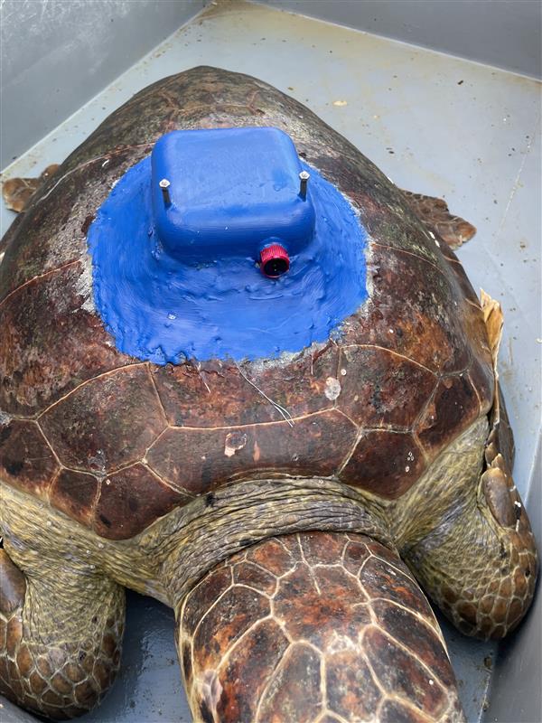
Plan-S Tracks Endangered Sea Turtles with Domestically Produced Satellite Tracker
Plan-S, one of the world’s leading satellite and space technology companies, has developed the country’s first domestic satellite tracking device, supporting the conservation of the endangered loggerhead sea turtle species.
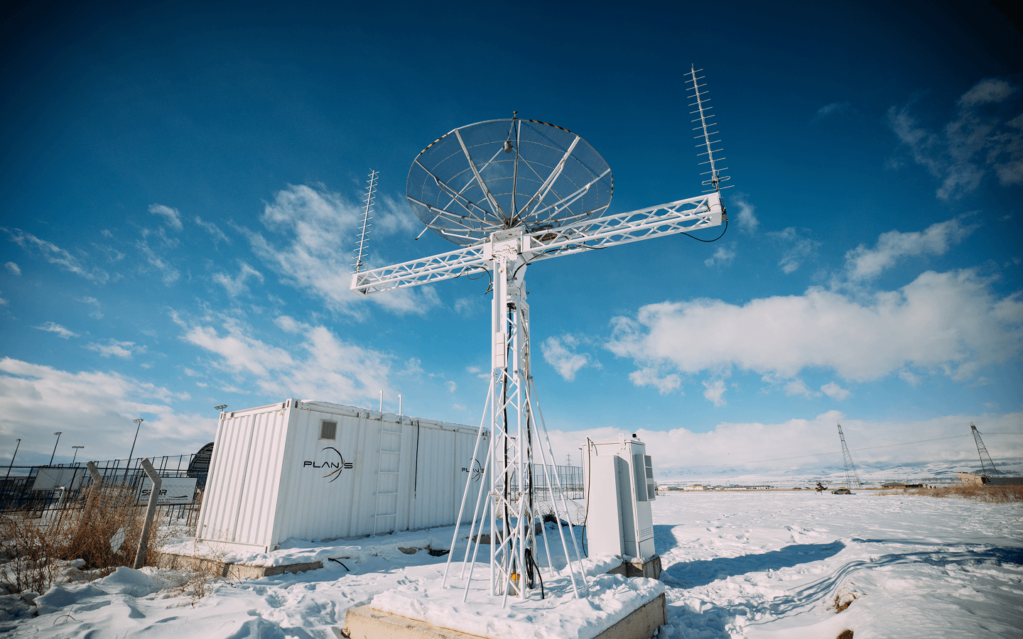
Plan-S Expands its Global Network with Satellite Ground Stations
Plan-S, one of the world’s leading satellite and space technology companies, is strengthening its global satellite communication infrastructure with its self-developed ground stations.
A New Era for IoT Applications in Azerbaijan: Plan-S Completes Integration with Azercosmos and Elsmart
Plan-S has achieved another significant milestone within the scope of its Connecta IoT Network integration efforts with Azercosmos. Data obtained from sensors developed by the Azerbaijan-based technology company Elsmart was successfully transmitted via Plan-S’s satellite constellation.
Plan-S Expands Global IoT Coverage with Four New Satellites
Plan-S, a prominent player in satellite and space technologies, has successfully launched four additional satellites aboard SpaceX’s Falcon 9 rocket as part of the Transporter-14 mission.