Actionable Intelligence from Orbit
Space based intelligence and AI workflows transform complex geospatial data into fast, precise, and operational intelligence. Custom models, human-in-the-loop systems, and high-performance processing deliver actionable intelligence which integrates with existing infrastructure seamlessly.
Get in Touch
Core Capabilities
PRODUCT OVERVIEW
Turning Earth Observation into AI-Powered Intelligence
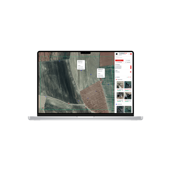
Analytics Solutions provides next-generation geospatial intelligence by converting space data and multi-source data into fast, precise, and actionable insight. Powered by advanced machine learning, automated workflows, and human-in-the-loop review, it delivers clarity and action ready decisions at scale.
The platform processes multispectral, hyperspectral, thermal, SAR, and auxiliary datasets in minutes, providing a unified pipeline for ingestion, processing, analysis, alerting, and visualization. Its modular architecture integrates seamlessly with existing enterprise systems, ensuring smooth adoption and high operational impact.
With flexible APIs, collaborative tools, and fully customizable workflows, Analytics Solutions streamlines complex geospatial tasks and accelerates every stage from raw data to actionable intelligence, bridging the gap between observation and real-world decisions.
VALUE AT A GLANCE
Built to Combine Advanced AI, Automation, and Expert Oversight
From initial concept to full deployment, solutions are engineered specifically for your needs.
CORE CAPABILITIES
Turn Complex Data Into Clear, Actionable Intelligence
Custom AI Models & Advanced Analytics
Tailored machine learning systems, detection, segmentation, classification, anomaly analysis, optimized for imagery-driven intelligence and mission-specific requirements.
Multi-Modal Imagery Expertise
Comprehensive support for SAR, multispectral, hyperspectral and thermal imagery, enabling robust analysis in all weather, lighting, and mission conditions.
Scalable Architecture for High-Volume Operations
Designed for large-scale data environments and enterprise deployments, ensuring consistent performance across expanding missions, fleets, and datasets.
APPLICATIONS IN ACTION
Actionable Intelligence Applied to Real Operational Challenges
Infrastructure Status & Risk Detection
AI-powered models detect structural changes, encroachment, and transformer irregularities such as missing or unauthorized units, enabling quick and targeted action.
Road & Rail Activity Monitoring
High-resolution imagery and change-detection pipelines identify road surface degradation, closures, and route disruptions, enabling faster intervention and operational planning.
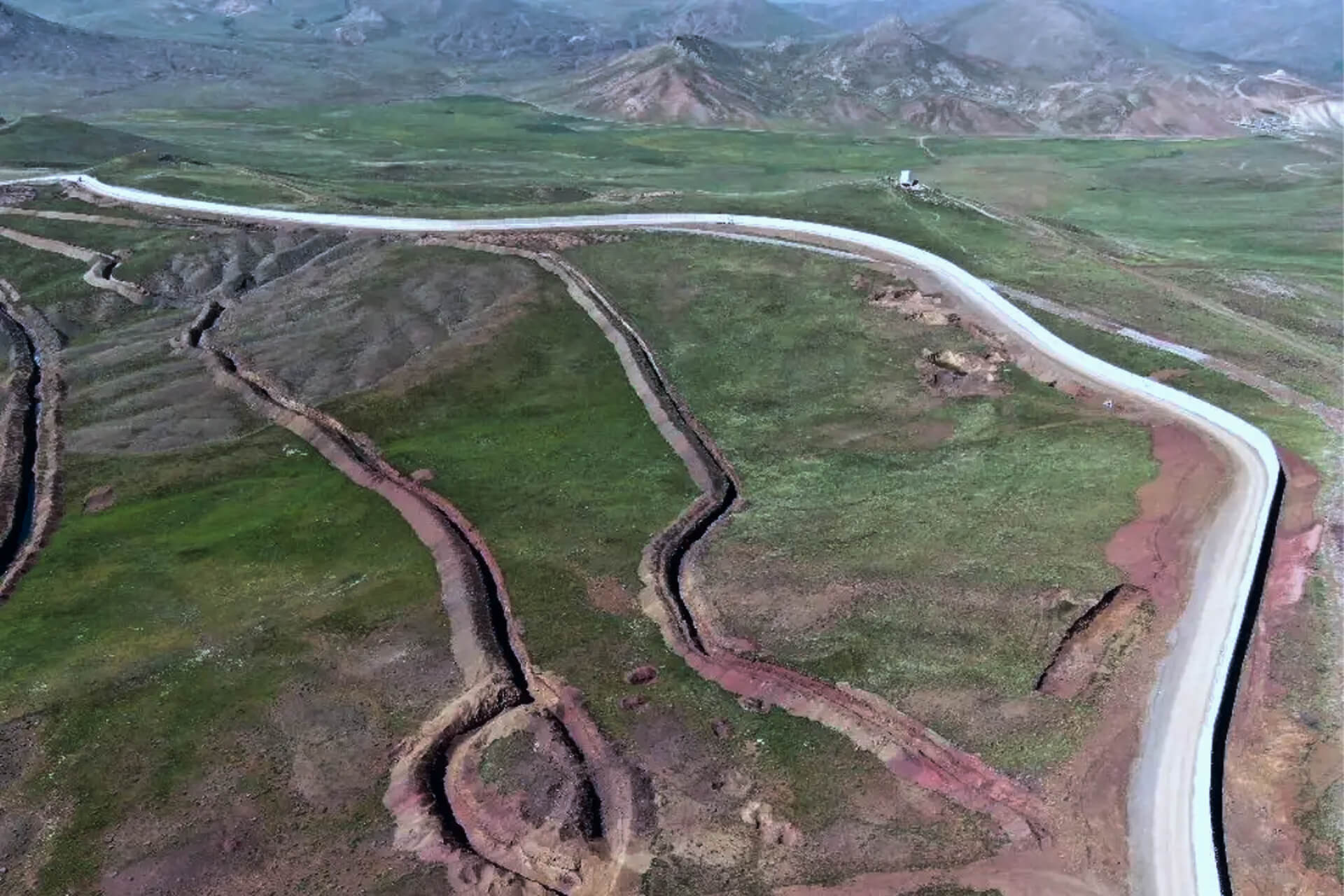
Environment Monitoring
Multi-spectral and SAR analytics uncover illegal logging, forest degradation, and environmental stress patterns, providing early warnings and continuous ecosystem visibility
INDUSTRIES WE SERVE
Powering Industries with Space-Based Services


EARTH OBSERVATION PORTFOLIO
A Consolidated Suite of Satellite Imaging Solutions
A unified set of imaging, analytics, and data tools designed to deliver fast, accurate, and mission-ready Earth intelligence.
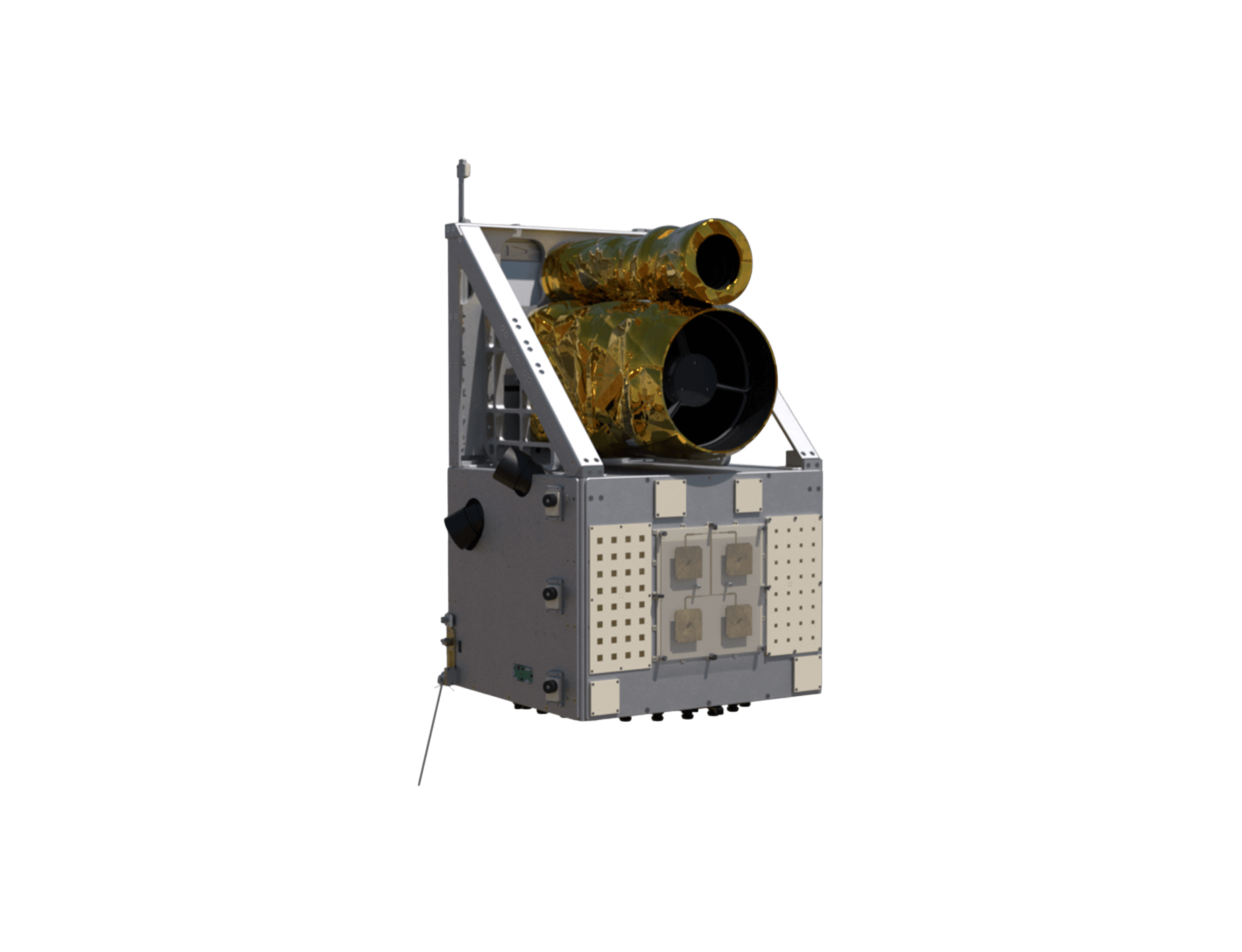
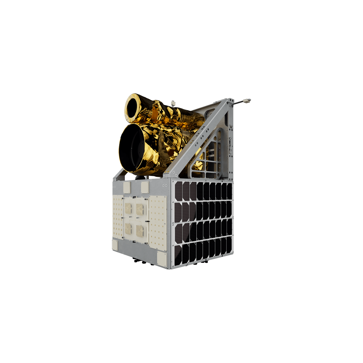
Observa Constellation
Observa constellation combines high-resolution optical, multispectral, and thermal imaging with onboard edge-AI to deliver secure, analysis-ready intelligence for critical missions worldwide.
GET IN TOUCH
Intelligence You Can Act On
By streamlining every step from tasking to analysis, Observa converts Earth Observation data into reliable, high-velocity intelligence teams can trust.
Get in Touch