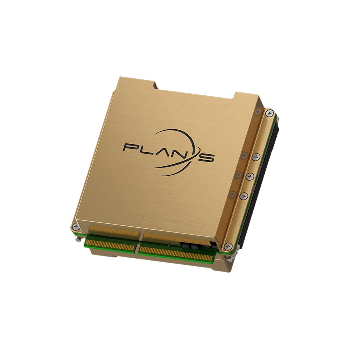
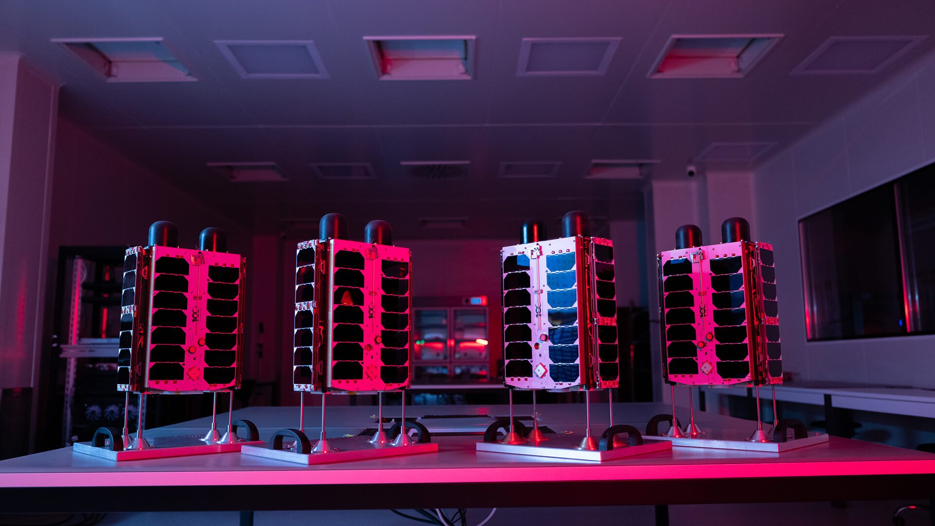
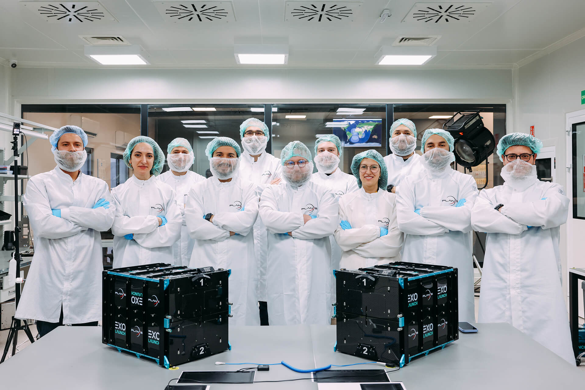
Proven Applications
Explore proven applications, from integrated space and ground architectures to real field results.
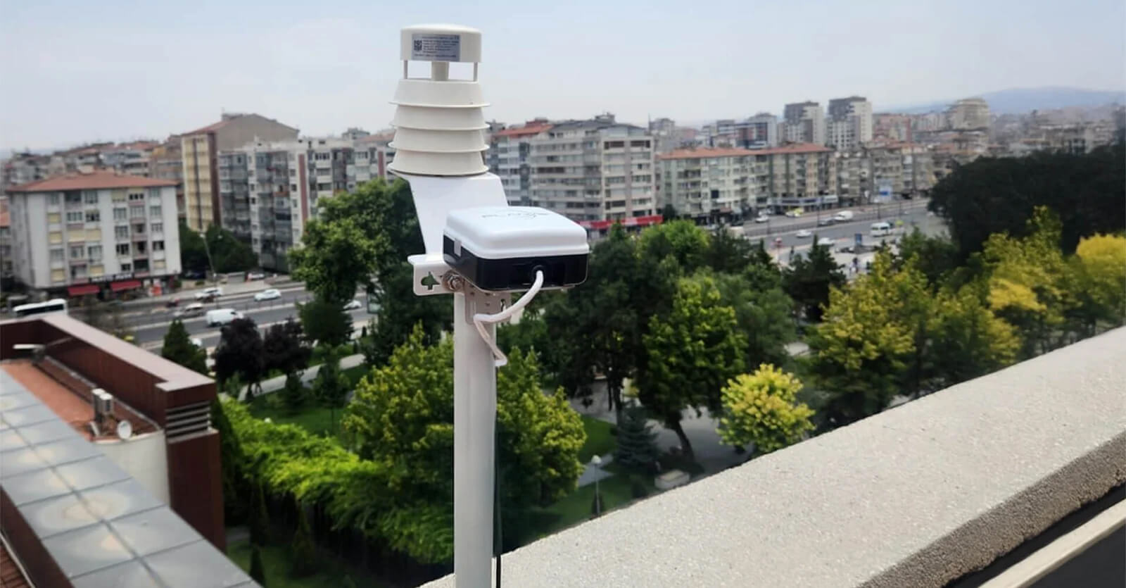
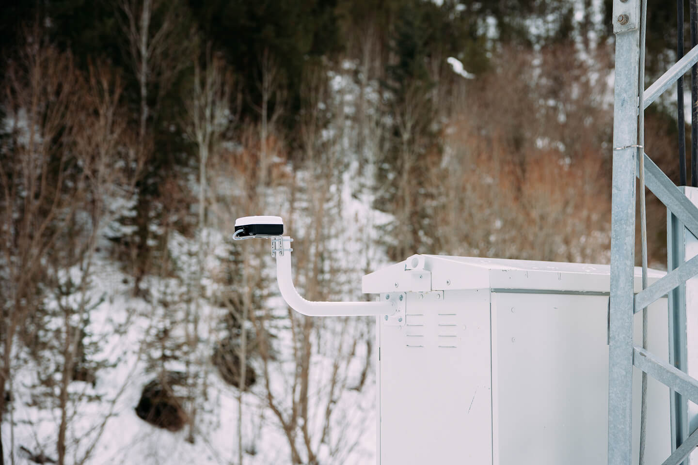
Weather Station Monitoring
Connecta enables continuous weather station monitoring from remote locations by transmitting environmental telemetry via the Connecta IoT Network, closing data gaps and improving forecasting and early warning.
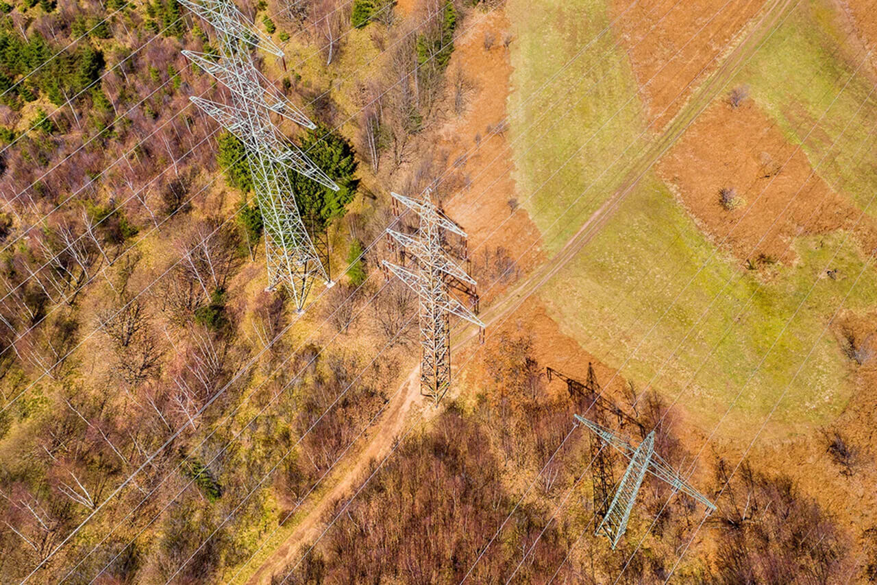
Utility Infrastructure Asset Mapping
Observa uses AI-powered satellite imagery to detect transformers and flag illegal irrigation-driven electricity use, enabling utilities to shift from reactive field inspections to proactive, scalable monitoring.
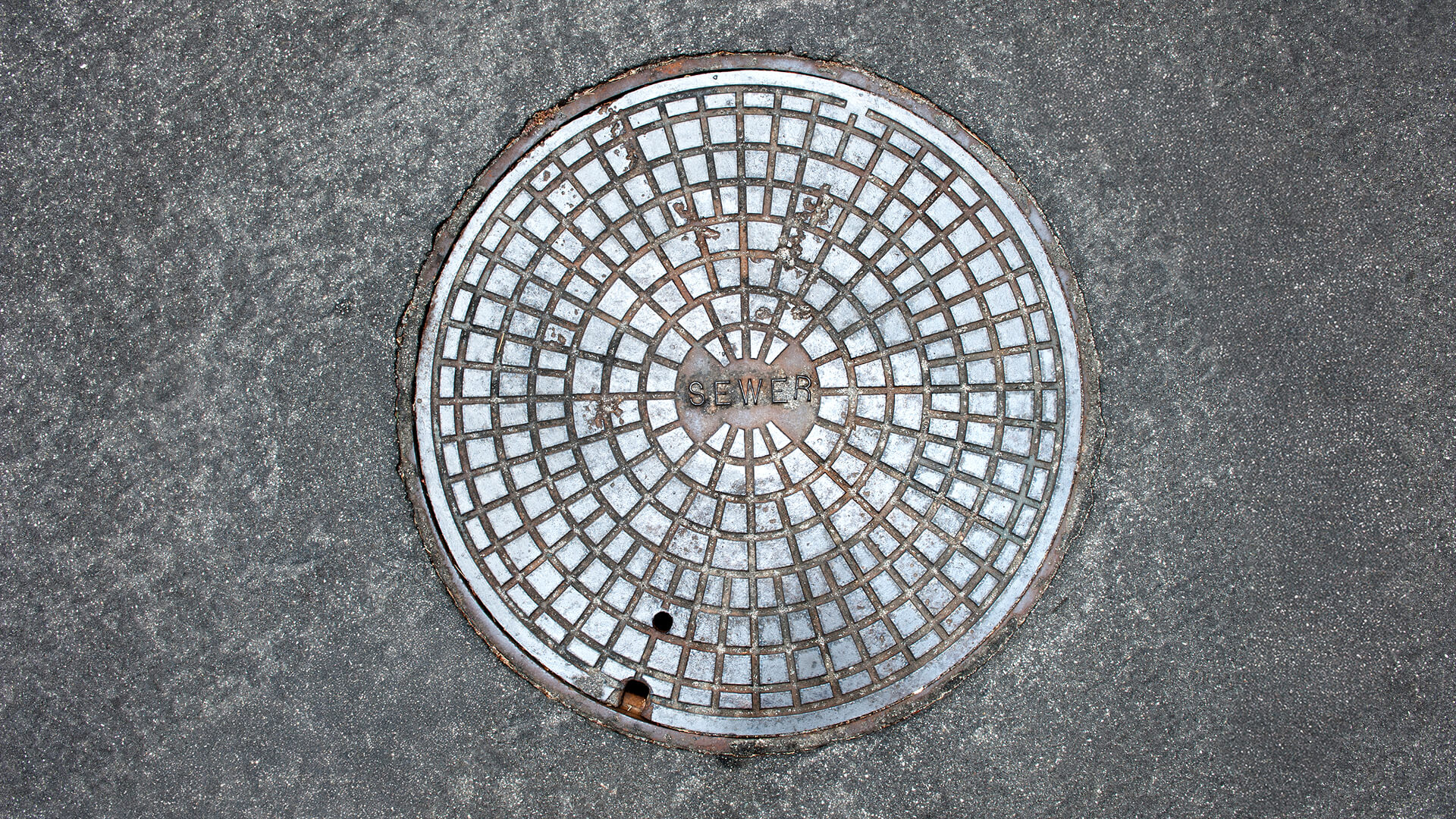
Manhole Monitoring
Connecta enables continuous, event-driven manhole monitoring using satellite IoT to detect unauthorized access and abnormal conditions, improving public safety and reducing reactive field operations.
Electricity Meter Monitoring
Connecta delivers satellite-based electricity meter monitoring for remote areas, enabling continuous visibility, automated alerts, safer operations, and reliable billing without terrestrial infrastructure.
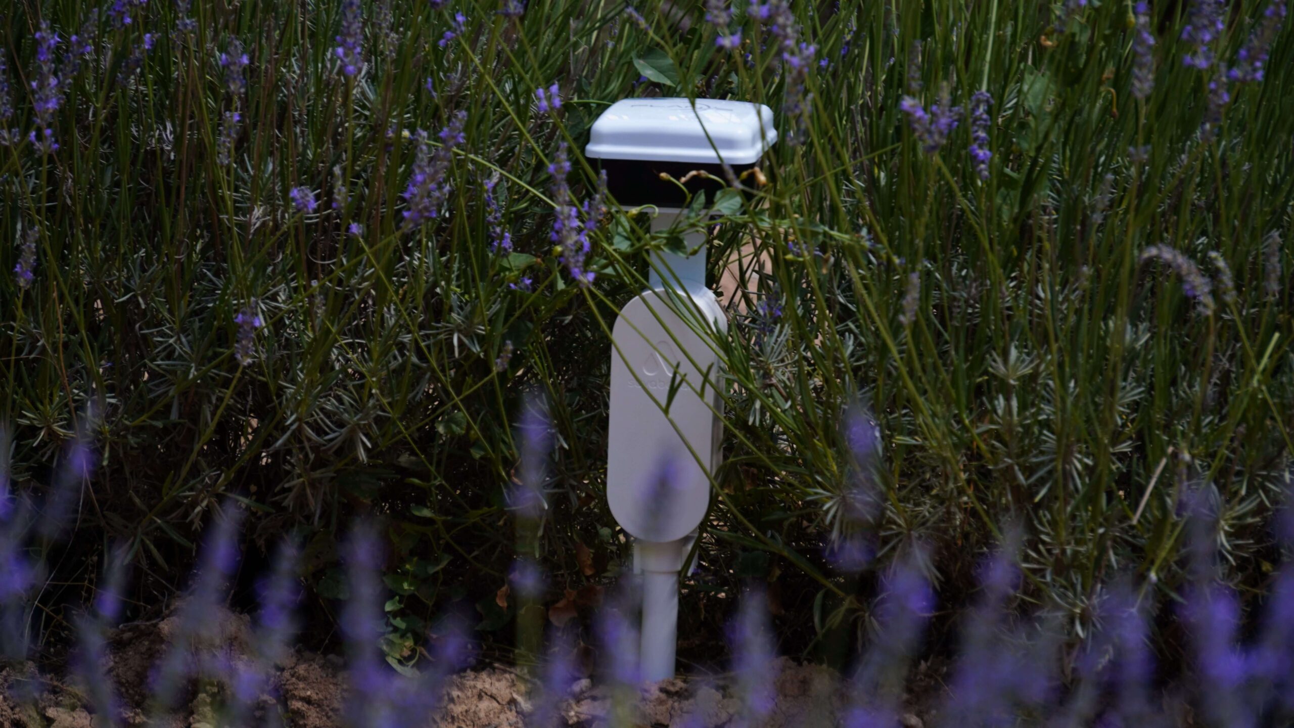
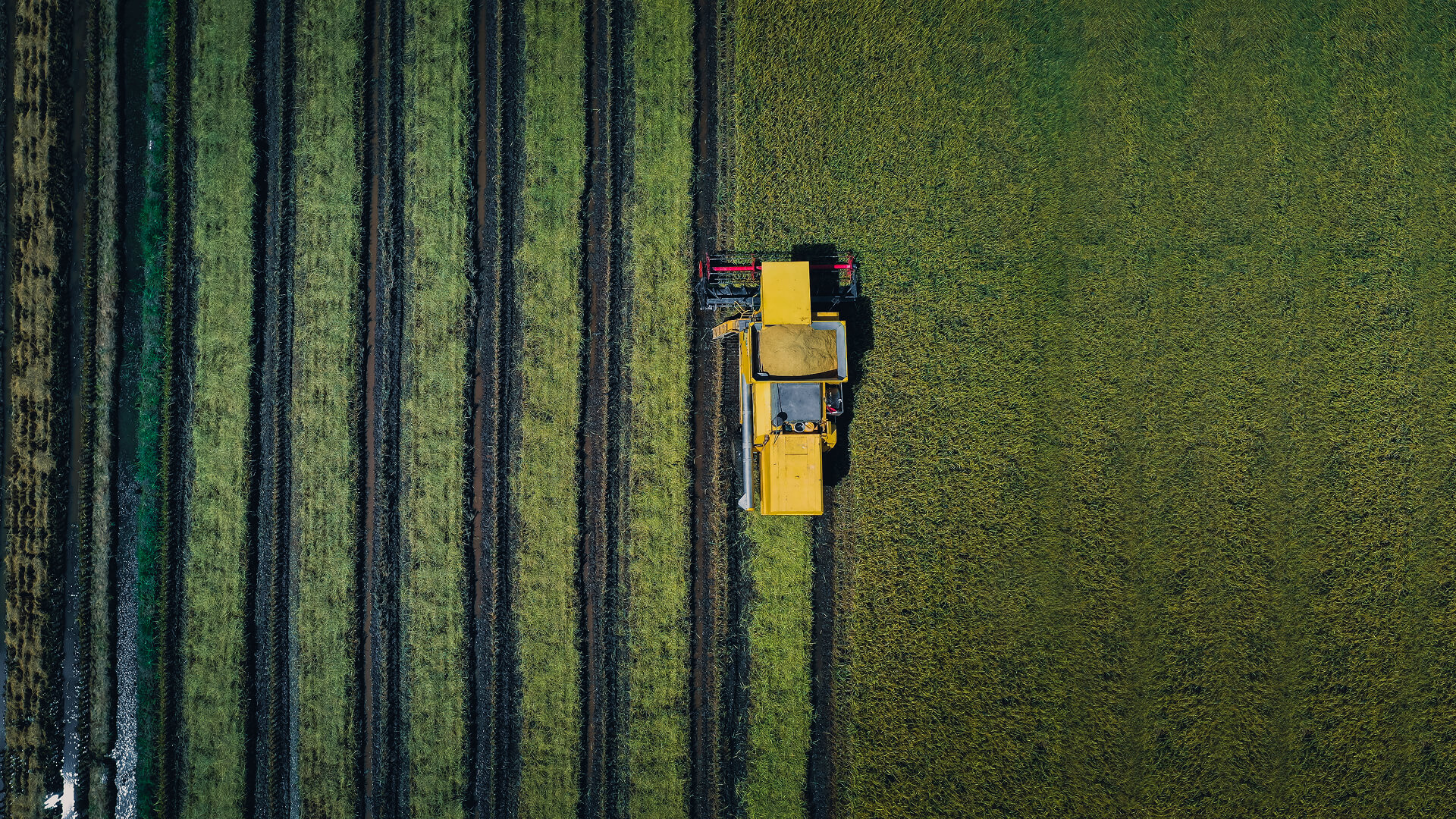
Crop Monitoring
Connecta enables always-on crop monitoring by connecting agricultural sensors to satellites, delivering continuous soil and weather intelligence beyond terrestrial networks.
Maritime Vessel Tracking
Connecta enables continuous, satellite-based vessel tracking beyond terrestrial coverage, delivering reliable offshore visibility and auditable mission data through the Connecta IoT Network.
Vehicle Hybrid Tracking
Hybrid vehicle tracking that maintains continuous visibility across terrestrial and satellite networks, eliminating coverage gaps and delivering audit-grade location intelligence in remote and high-risk operations.
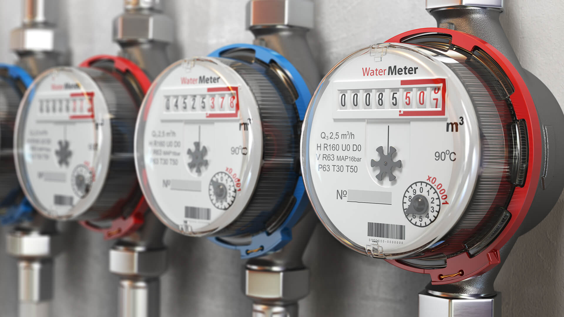
Water Meter Monitoring
Coverage-independent water meter monitoring using satellite IoT enables utilities to reduce water loss, automate readings, and manage resources efficiently without terrestrial infrastructure.