WHITE PAPERS
Turning Trials into Trusted Outcomes
In field tests across regions without GSM coverage, smart meter data was transmitted reliably via the Connecta IoT Modem Lite, proving seamless and secure connectivity.
We prove the value of Plan-S solutions not only in technical documents but also in real-world applications. In field tests with energy distribution companies, our Connecta IoT network delivered 20–25% cost savings and uninterrupted data transmission in regions without GSM coverage.
PLAN-S
Brochures
Explore Plan-S brochures highlighting our technologies, solutions, and mission.
Turkish
GNSS Destekli Connecta IoT Modül
Uygun maliyetli ve ultra düşük güç tüketimli IoT çözümü
English
Connecta IoT Module With GNSS
Ultra low power design for long battery life, superior receiver sensitivity and cost effective solution
Turkish
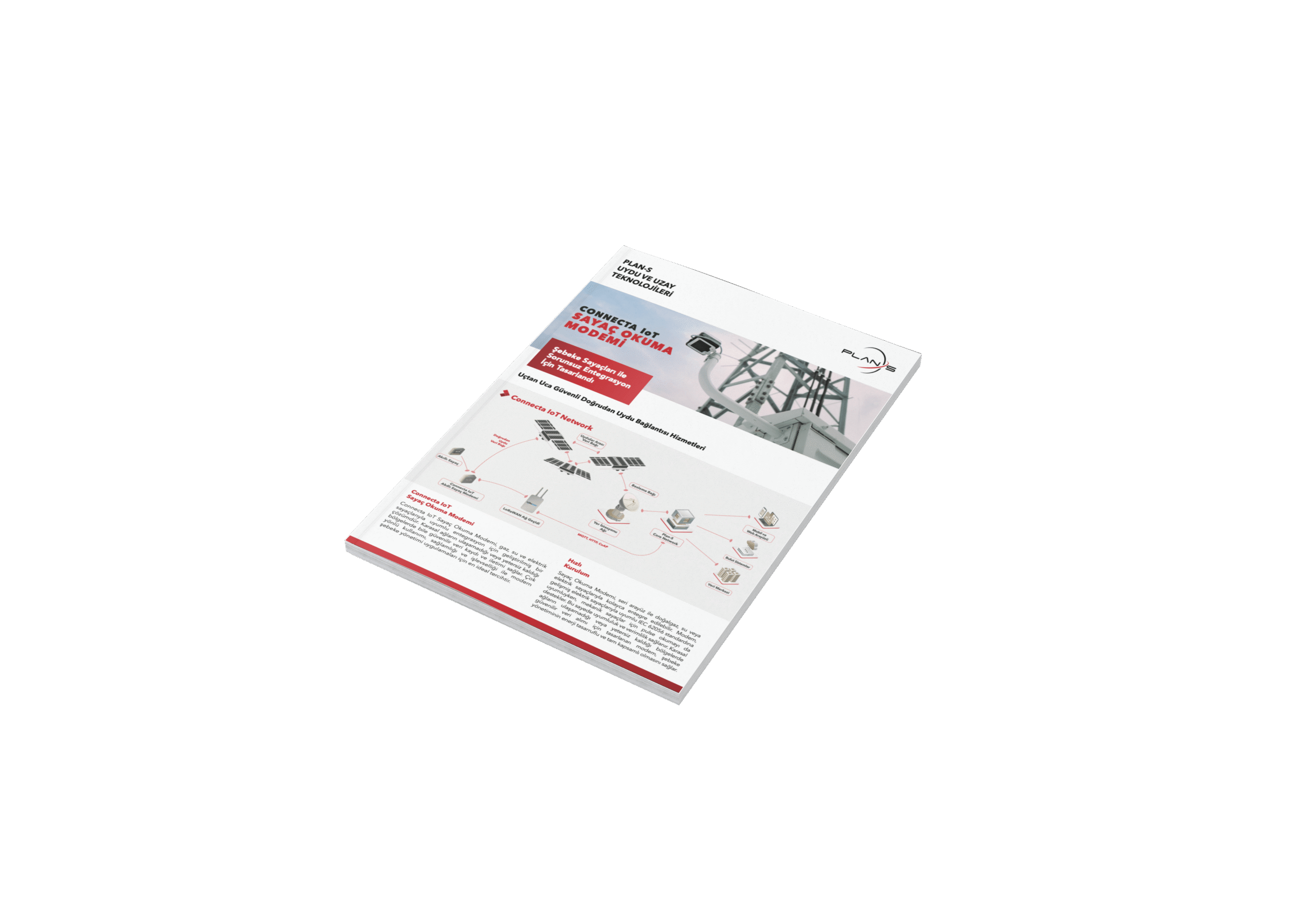
Connecta IoT Sayaç Okuma Modemi
Şebeke Sayaçları ile Sorunsuz Entegrasyon İçin Tasarlandı
English
Connecta IoT Smart Meter Modem
Engineered for Seamless Integration with Utility Meters
Turkish
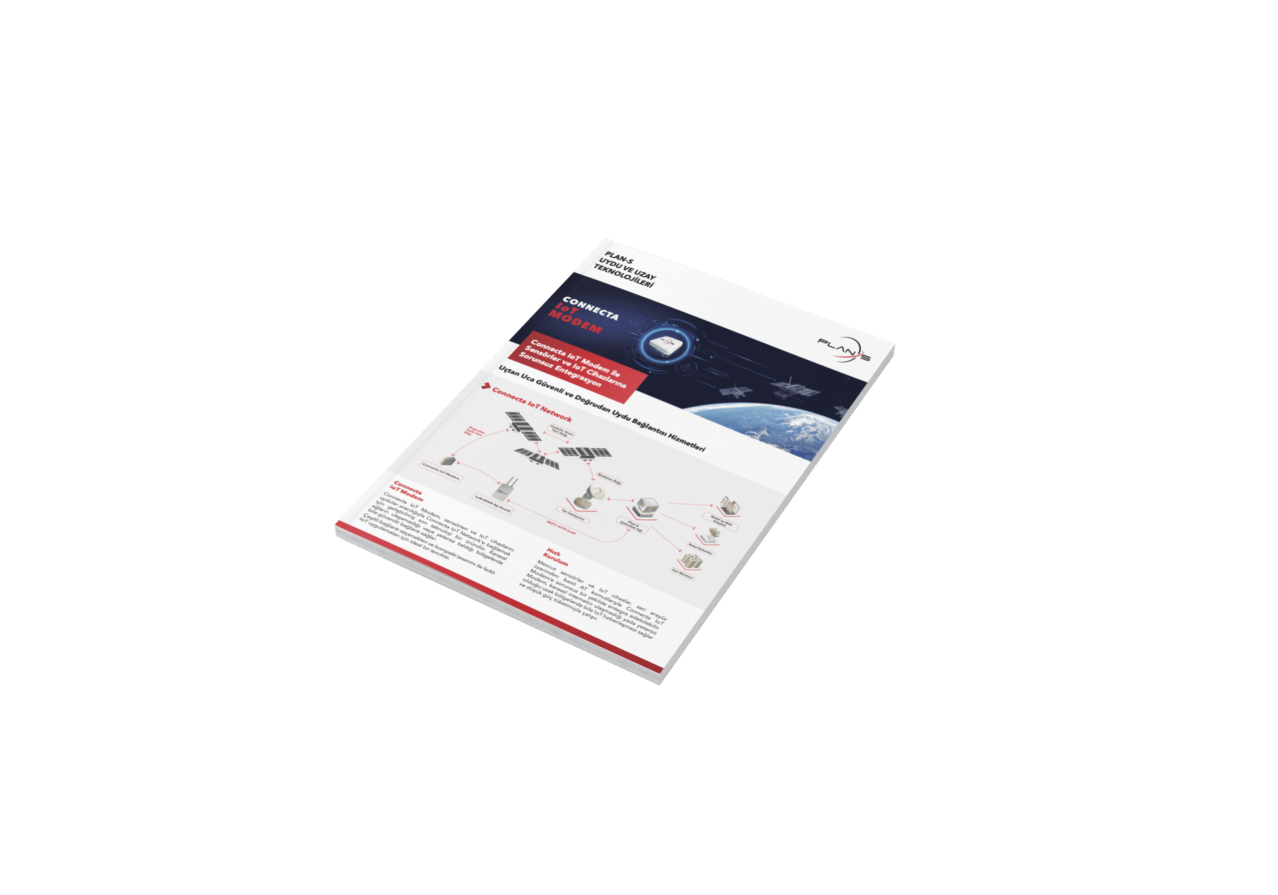
Connecta IoT Modem
Connecta IoT Modem ile Sensörler ve IoT Cihazlarına Sorunsuz Entegrasyon
English
Connecta IoT Modem
Designed for Seamless Integration of Various IoT Devices to Connecta IoT Network
Turkish
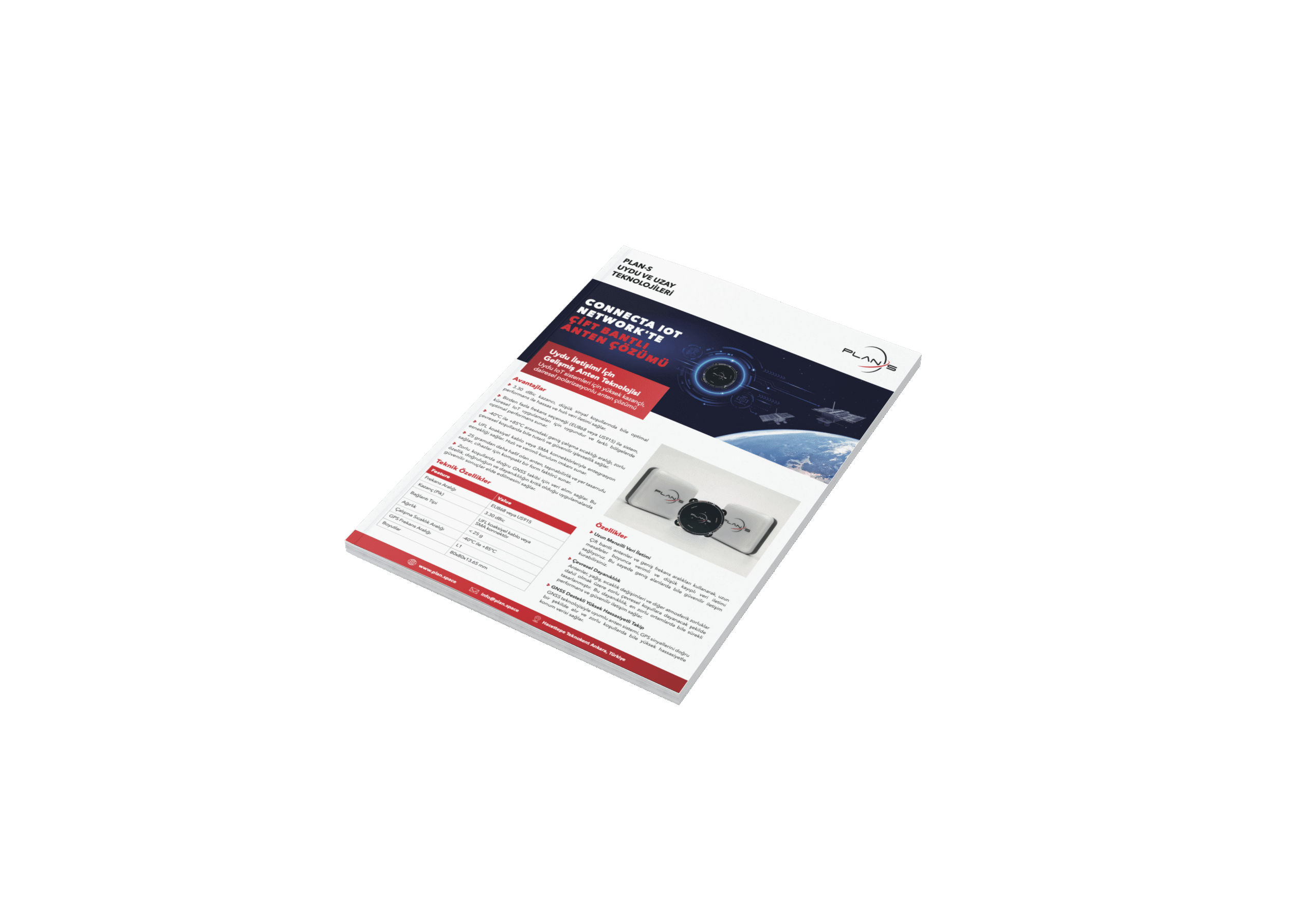
Connecta IoT Network'te Çift Bantlı Anten Çözümü
Uydu IoT sistemleri için yüksek kazançlı, dairesel polarizasyonlu anten çözümü
English
Dual Band Antenna Solution in Connecta IoT Network
High gain, circular polarized antenna solution for satellite IoT
Turkish
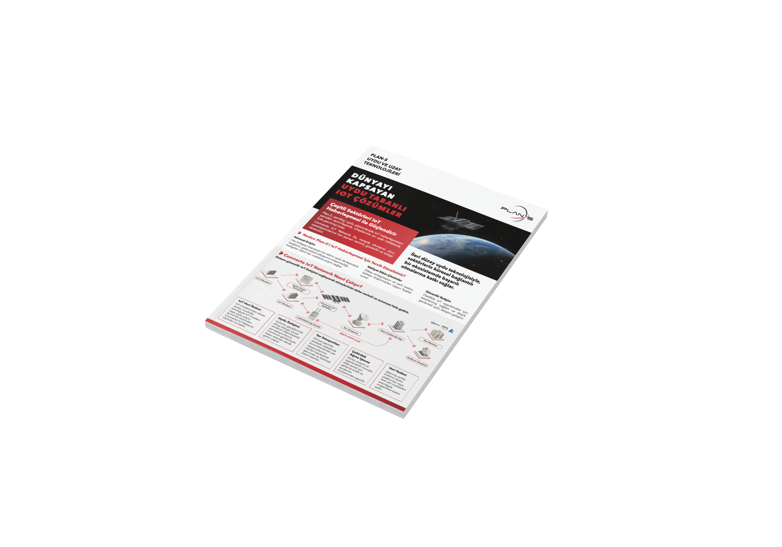
Dünyayı Kapsayan Uydu Tabanlı IoT Çözümler
Plan-S, yenilikçi uydu çözümleriyle IoT haberleşmesini
yeniden tanımlayarak, cihazlarınızı en uzak noktalarda
bile çevrimiçi tutar.
English
Satellite IoT Solutions That Connect The World
Plan-S redefines IoT connectivity through innovative
satellite solutions, ensuring devices remain connected
even in the most remote locations.
Turkish
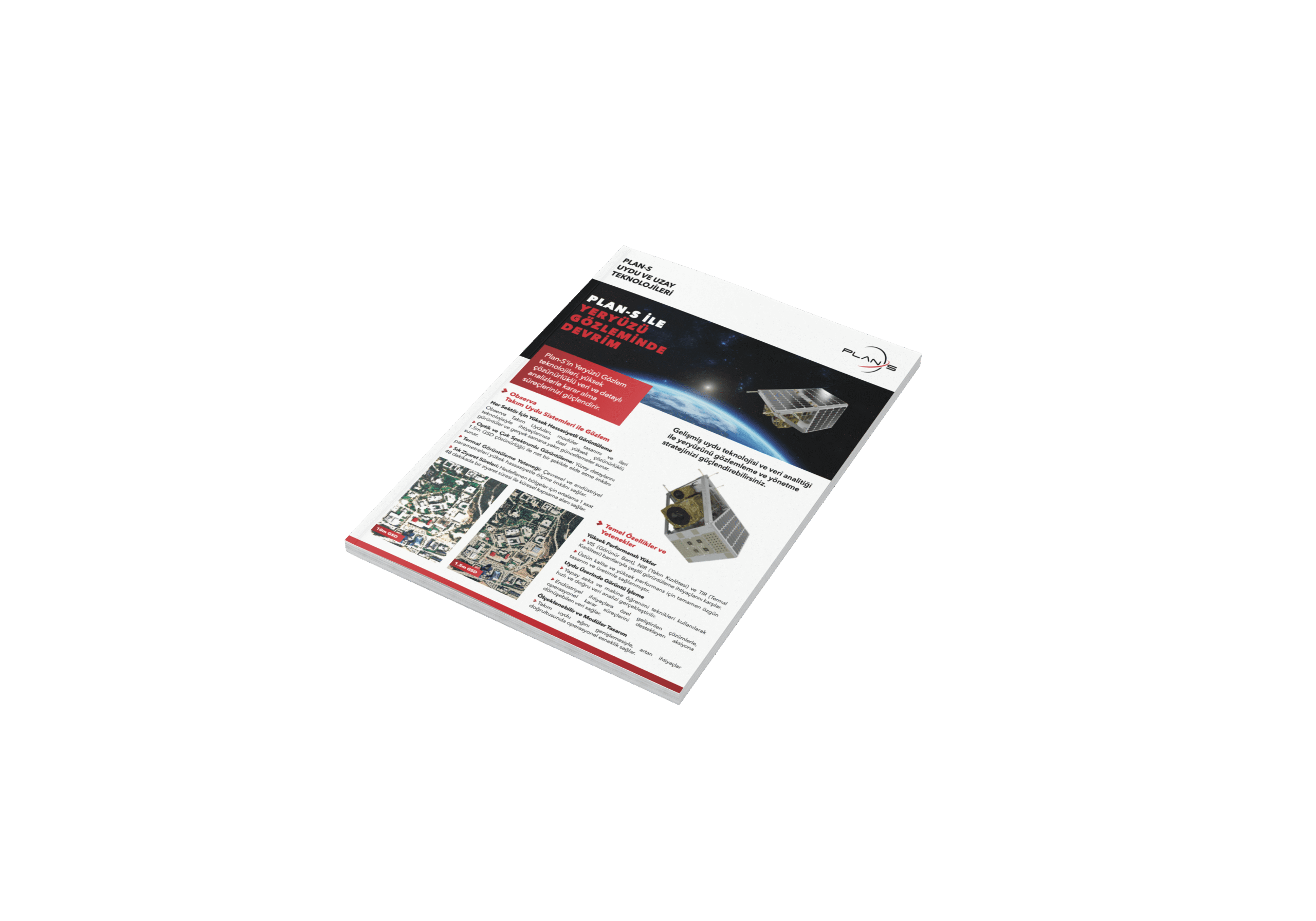
Plan-S ile Yeryüzü Gözleminde Devrim
Plan-S' in Yeryüzü Gözlem teknolojileri, yüksek çözünürlüklü veri ve detaylı analizlerle karar alma süreçlerinizi güçlendirir.
English
Revolutionizing Earth Observation With Plan-S
Plan-S Earth Observation services deliver high-resolution imagery and actionable insights
across diverse industries, enabling smarter, more sustainable decision-making.
Turkish
Yarın İçin Uzay Çözümleri
Sürdürülebilir uzay teknolojileriyle gezegene katkı sağlama misyonuyla ilerler.
English
Space as a Solution Transforming Challenges into Opportunities
Space as a Solution service leverages cutting edge technology, industry expertise and a robust infrastructure to deliver impactful solutions across various sectors.
Turkish
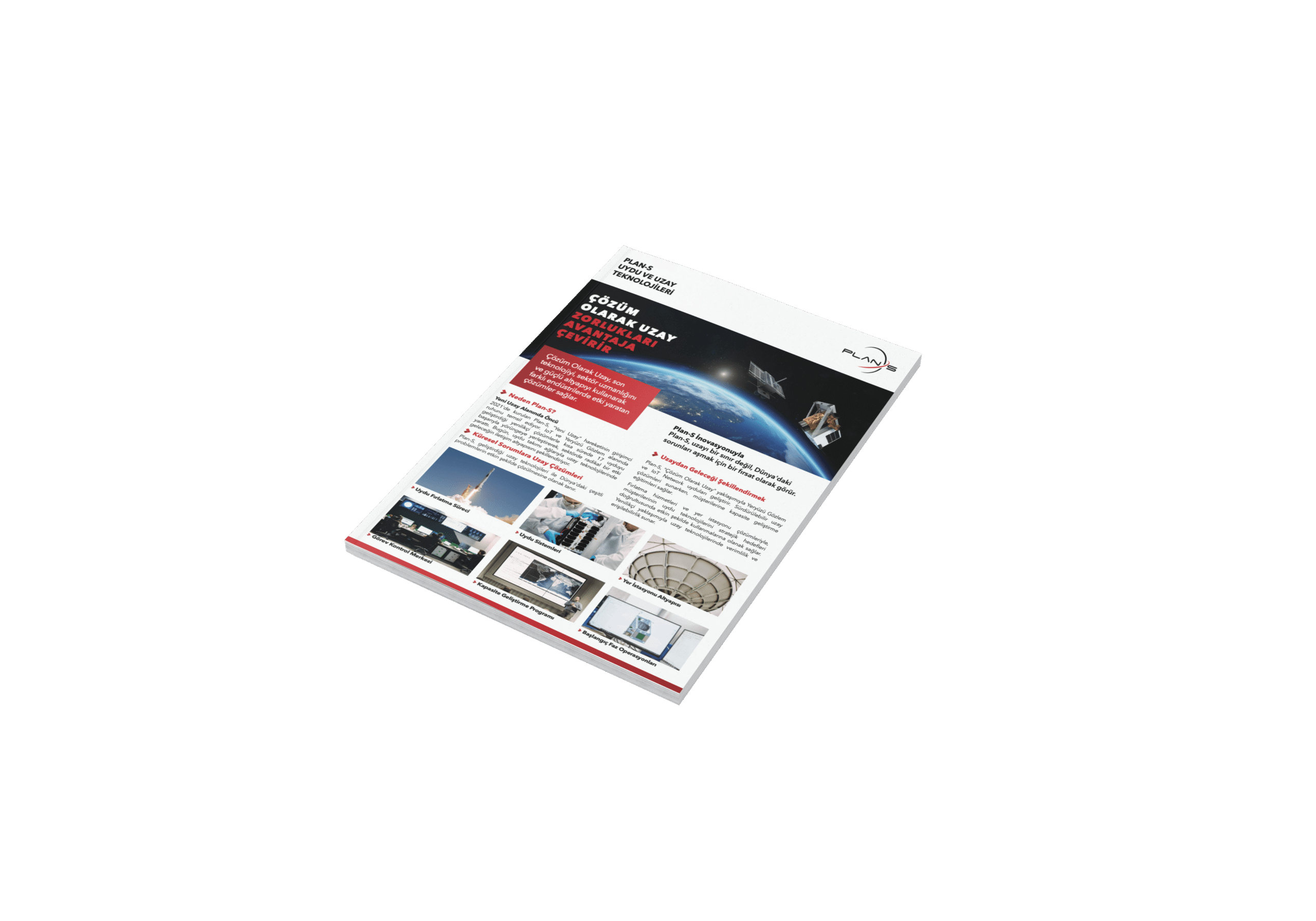
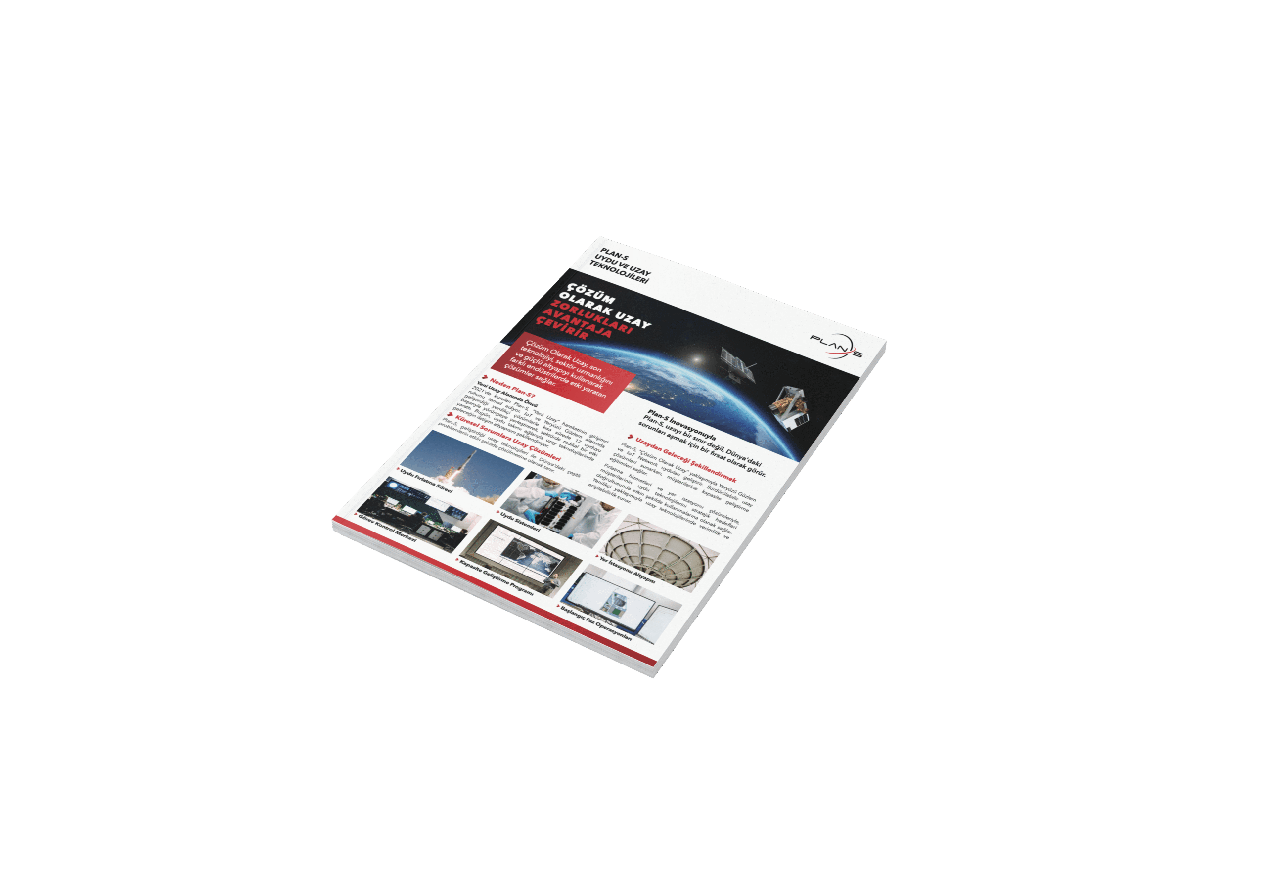
Çözüm Olarak Uzay Zorlukları Avantaja Çevirir
Çözüm Olarak Uzay, son teknolojiyi, sektör uzmanlığını ve güçlü altyapıyı kullanarak farklı endüstrilerde etki yaratan çözümler sağlar.
English
Space Solutions For Tomorrow
Plan-S redefines IoT connectivity through innovative satellite solutions, ensuring devices remain connected even in the most remote locations.
RESOURCES
Blog
Explore how space assets and ground infrastructure work together, use cases, architectures, and field results from Plan-S projects.

5G Is Only the Beginning: Why the Future of Connectivity Extends Into Space
Türkiye has entered a new era in mobile communications. With the rollout of 5G beginning on April 1, 2026, a major technological milestone is now becoming a reality across the country. But 5G should not be seen simply as a faster version of what came before. It represents the foundation of a much broader communications architecture one that will increasingly extend beyond terrestrial networks and into space.
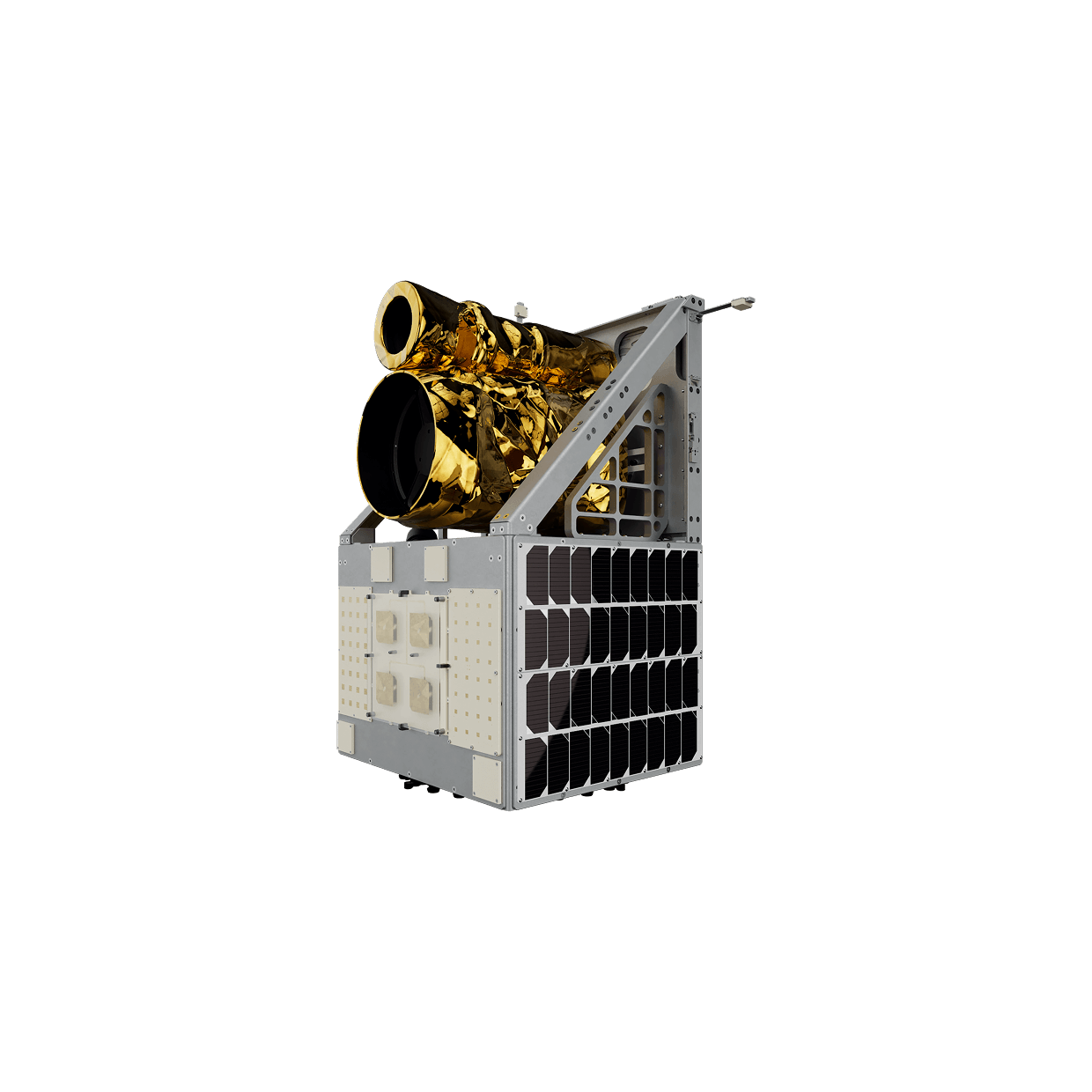
The Big Revolution of Small Satellites: Why the Right Platform Matters
Space is now everyone’s business! Not long ago, space was accessible only to a handful of major nations and established defense contractors, shaped by billion-dollar budgets and development timelines that stretched over decades.
Satellite IoT Is Ready: Is Regulation Keeping Up?
Billions of sensors, meters, and trackers sit in fields, dams, shipping containers, and remote infrastructure with no way to send their data. Not because the technology doesn’t exist, but because the regulatory frameworks to enable it are still catching up.
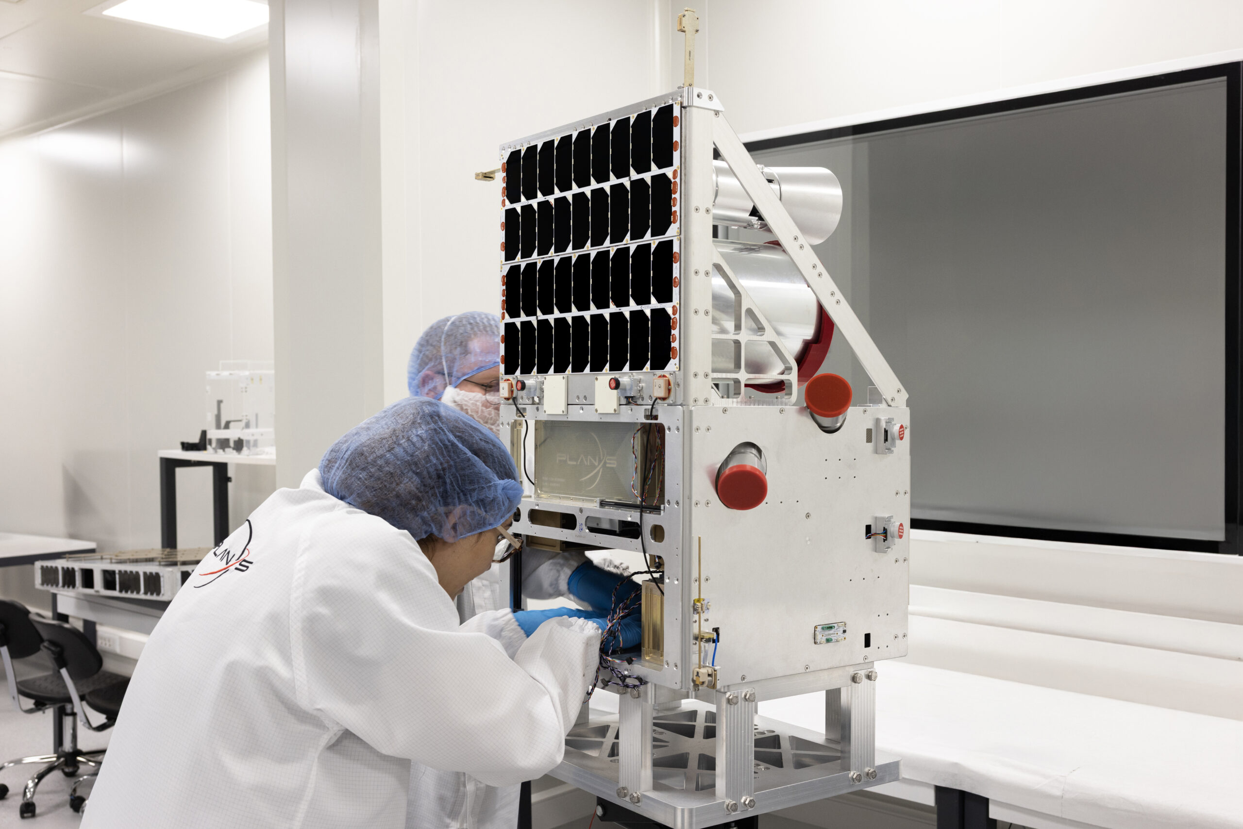
Rise of Small Satellites: Enabling Sovereign Space Infrastructure
Over the past decade, the global space industry has been undergoing a fundamental transformation. At the heart of this evolution lies a powerful trend “the rapid rise of small satellites” (typically classified as spacecraft weighing under 500 kg).

Satellite IoT Isn’t the Enemy of Terrestrial Internet, It’s the Missing Piece
Satellite IoT completes terrestrial networks: Plan-S’s Connecta IoT Network bridges coverage gaps, keeps data flowing during outages, and enables low-power, low-cost connectivity worldwide.
RESOURCES
Proven Applications
Explore how space assets and ground infrastructure work together, use cases, architectures, and field results from Plan-S projects.
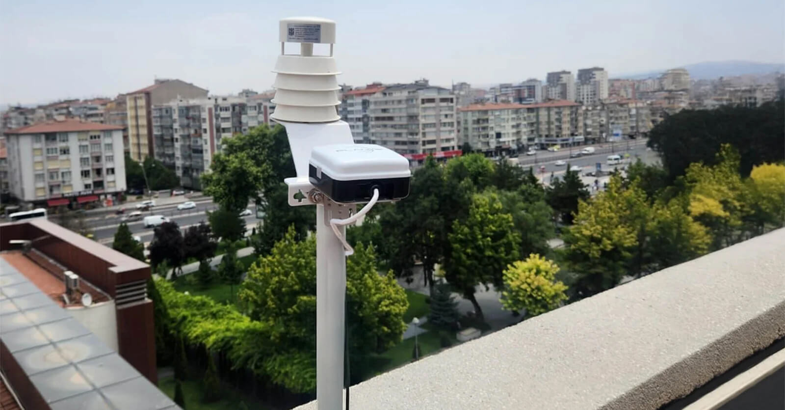
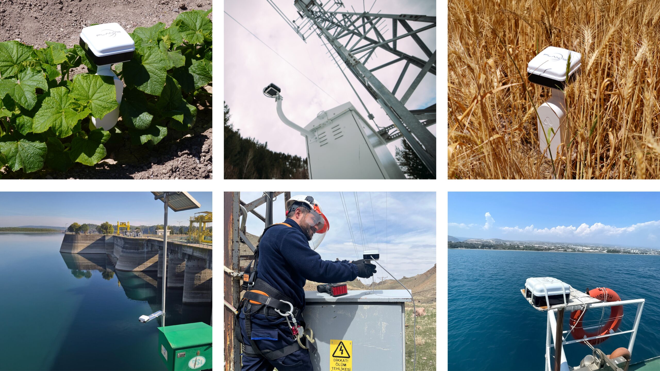
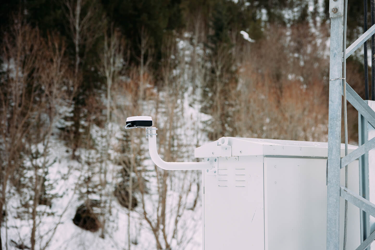
Weather Station Monitoring
Connecta enables continuous weather station monitoring from remote locations by transmitting environmental telemetry via the Connecta IoT Network, closing data gaps and improving forecasting and early warning.
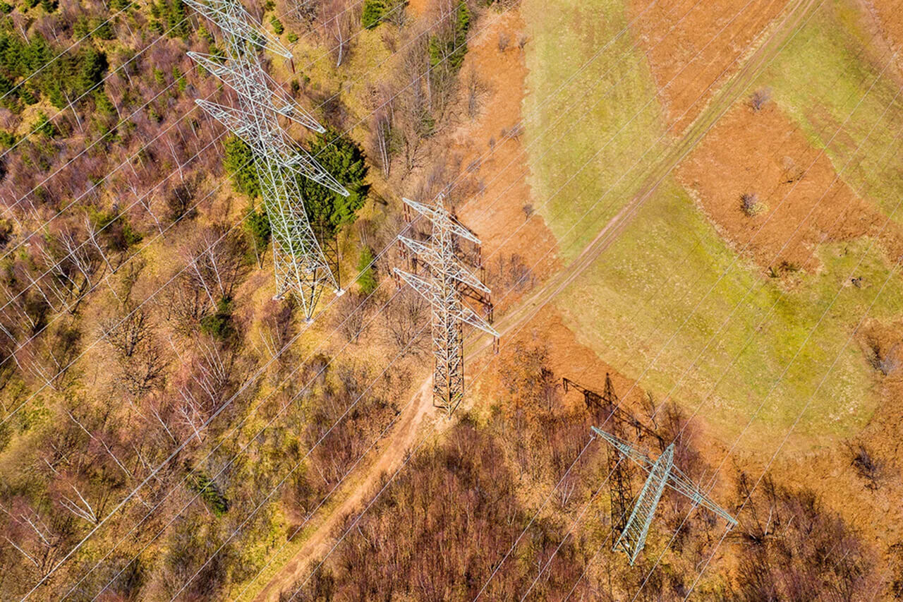
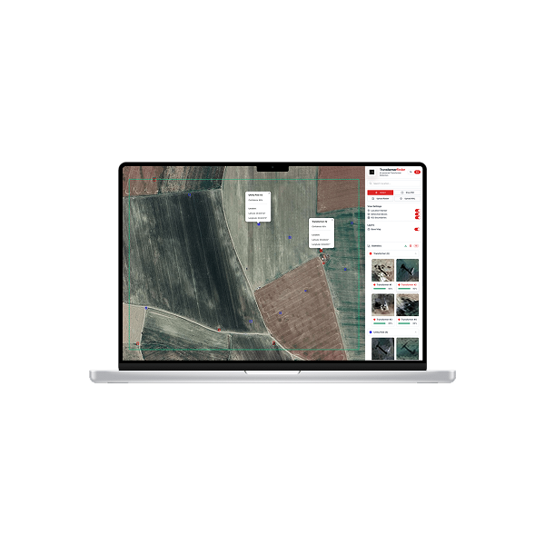
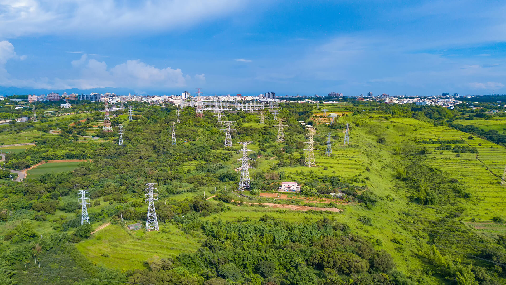
Utility Infrastructure Asset Mapping
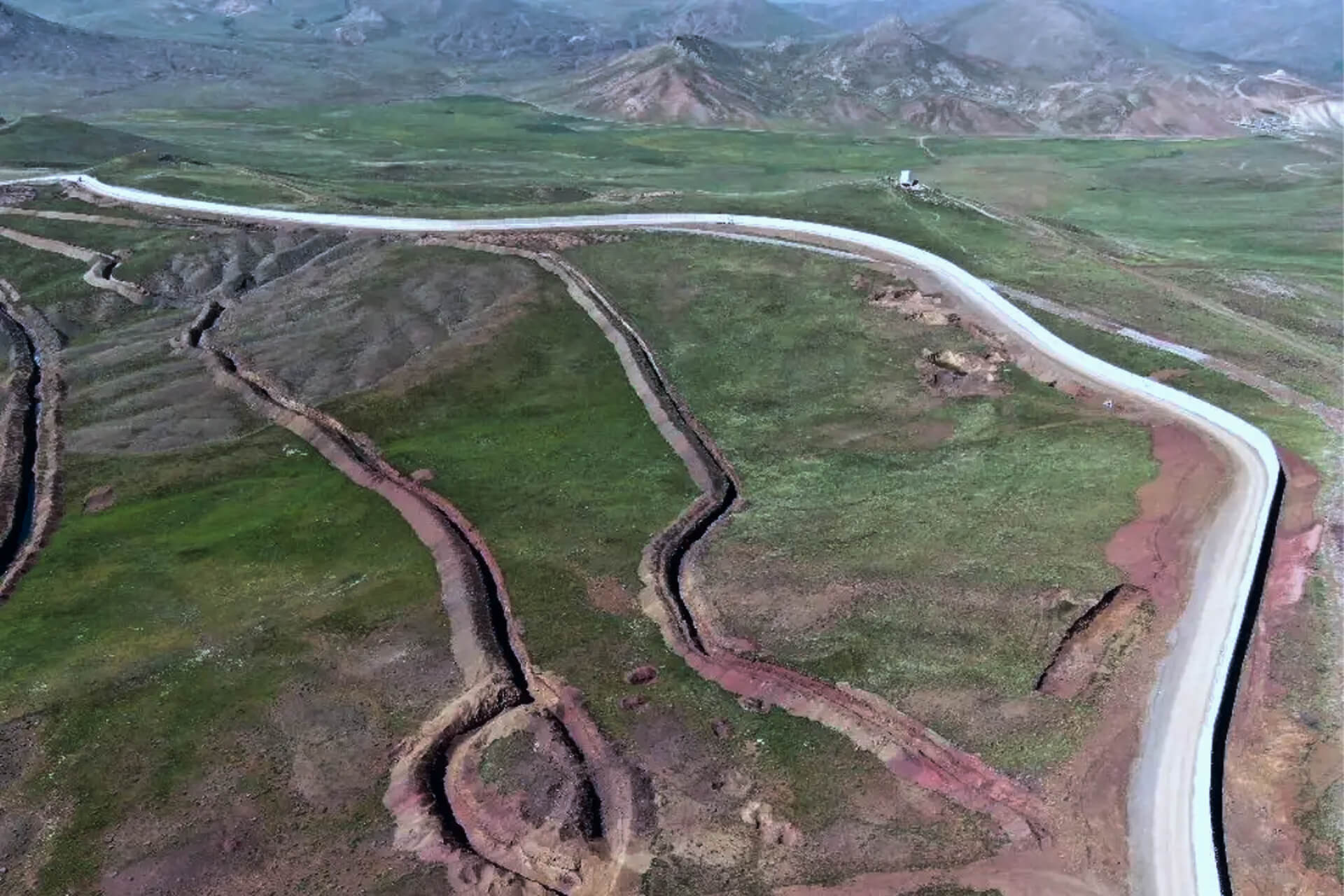
Observa uses AI-powered satellite imagery to detect transformers and flag illegal irrigation-driven electricity use, enabling utilities to shift from reactive field inspections to proactive, scalable monitoring.
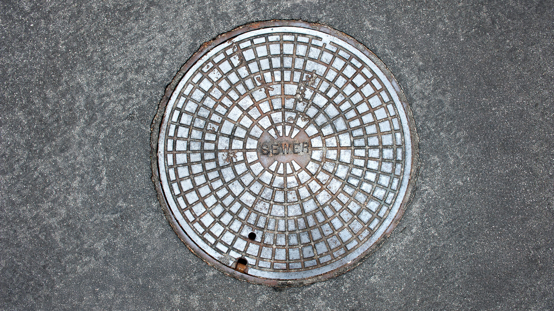
Manhole Monitoring
Connecta enables continuous, event-driven manhole monitoring using satellite IoT to detect unauthorized access and abnormal conditions, improving public safety and reducing reactive field operations.
Electricity Meter Monitoring
Connecta delivers satellite-based electricity meter monitoring for remote areas, enabling continuous visibility, automated alerts, safer operations, and reliable billing without terrestrial infrastructure.
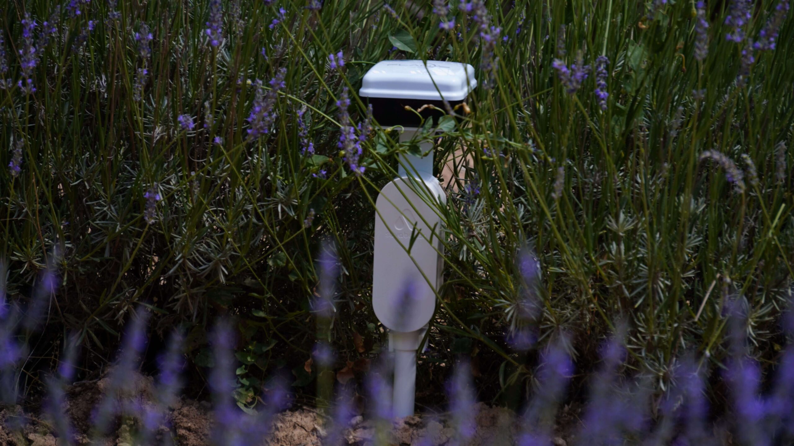
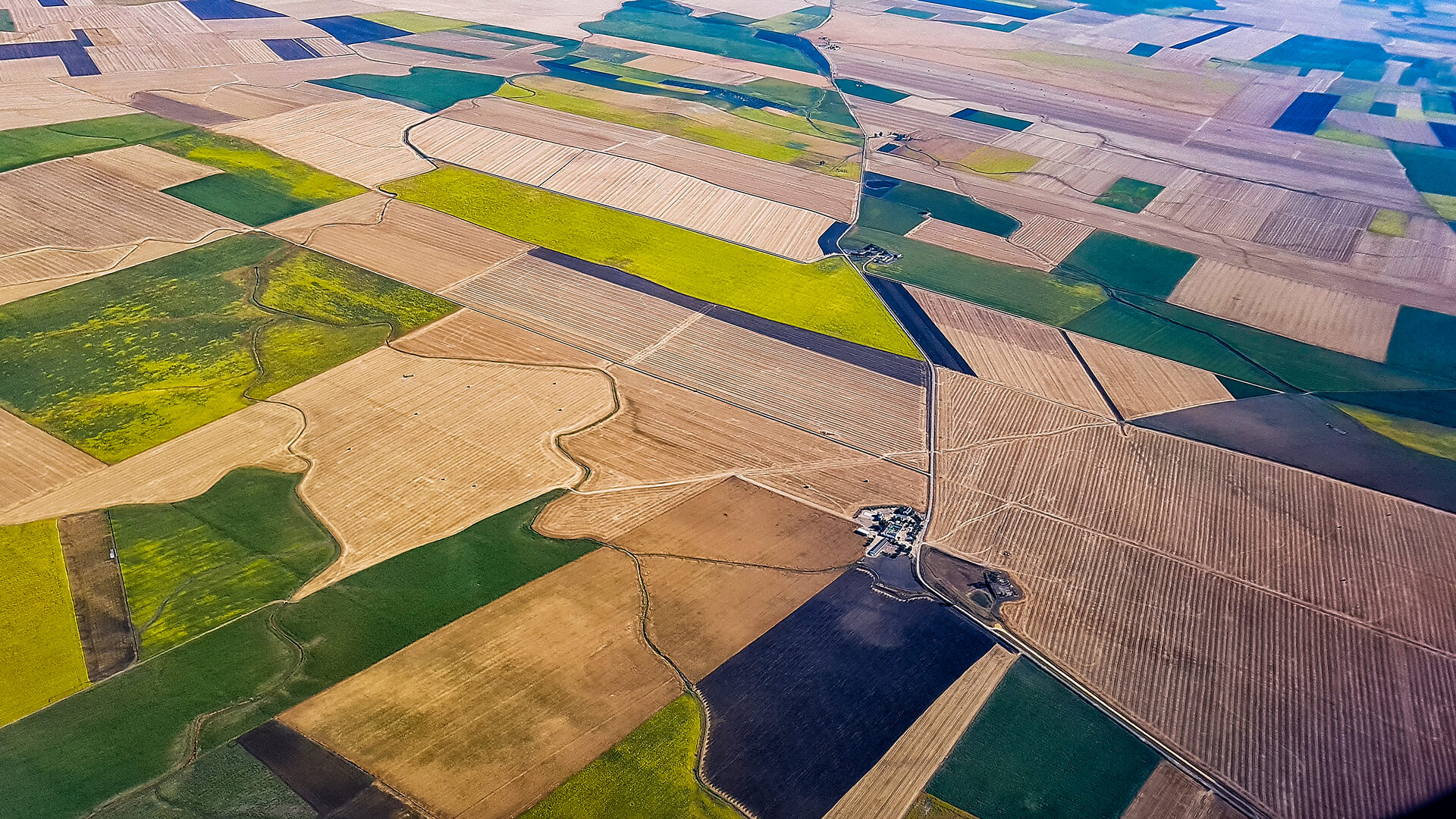
Crop Monitoring
Connecta enables always-on crop monitoring by connecting agricultural sensors to satellites, delivering continuous soil and weather intelligence beyond terrestrial networks.
Maritime Vessel Tracking
Connecta enables continuous, satellite-based vessel tracking beyond terrestrial coverage, delivering reliable offshore visibility and auditable mission data through the Connecta IoT Network.
Vehicle Hybrid Tracking
Hybrid vehicle tracking that maintains continuous visibility across terrestrial and satellite networks, eliminating coverage gaps and delivering audit-grade location intelligence in remote and high-risk operations.

Water Meter Monitoring
Coverage-independent water meter monitoring using satellite IoT enables utilities to reduce water loss, automate readings, and manage resources efficiently without terrestrial infrastructure.