The Challenge is Global & The Solution Starts from Space
Agriculture is evolving and so are its challenges. AtPlan-S, we connect the power of space, data, insights and connectivity to help farmers, organizations, and governments grow more efficiently, sustainably, and confidently.
Get in Touch
Get in Touch
THE CHALLENGE
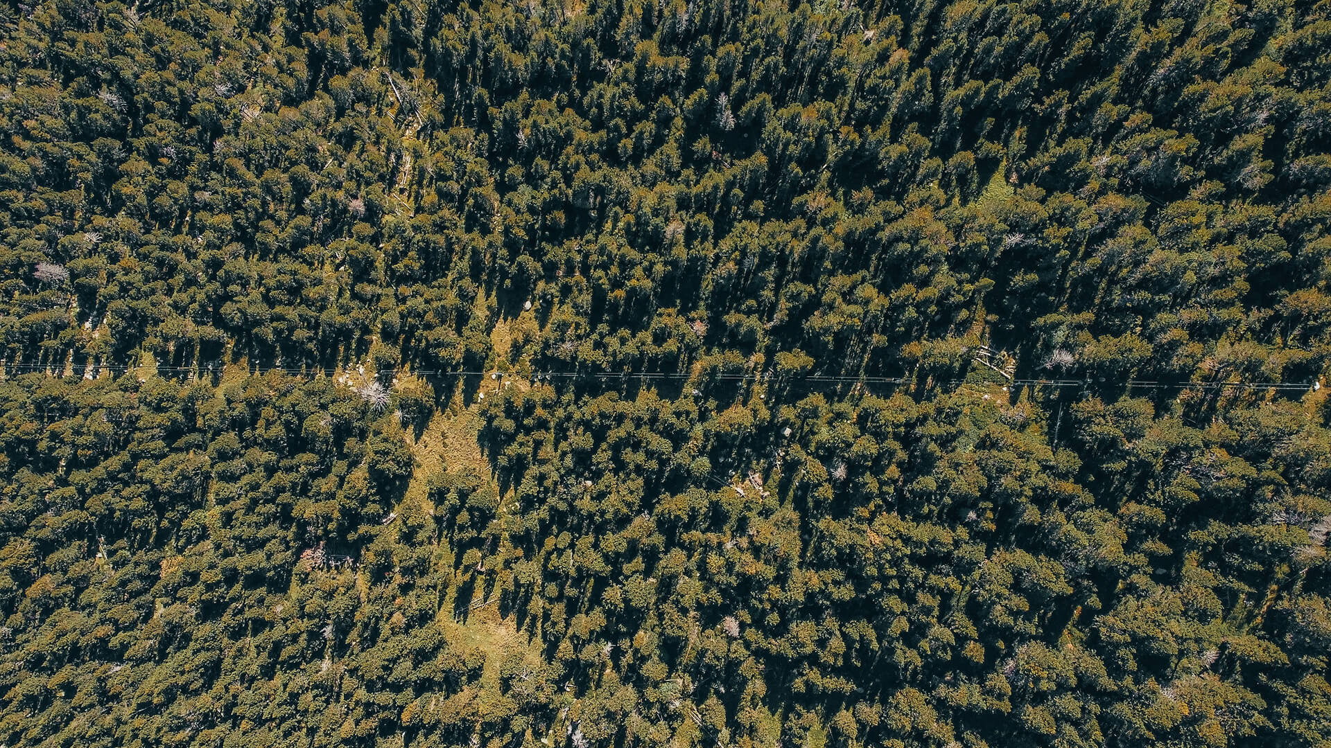
Agriculture at a Crossroads
Field operations often lack the precision needed to run efficiently at scale.
Irrigation, fertilization, and crop protection plans are usually set in advance and updated too slowly because field visibility is fragmented and conditions change faster than decision cycles.
As a result, teams struggle to pinpoint which zones need immediate action, which areas are stable, and where interventions will deliver the highest impact. This leads to delayed responses, misallocated resources, and avoidable waste of inputs and labor.
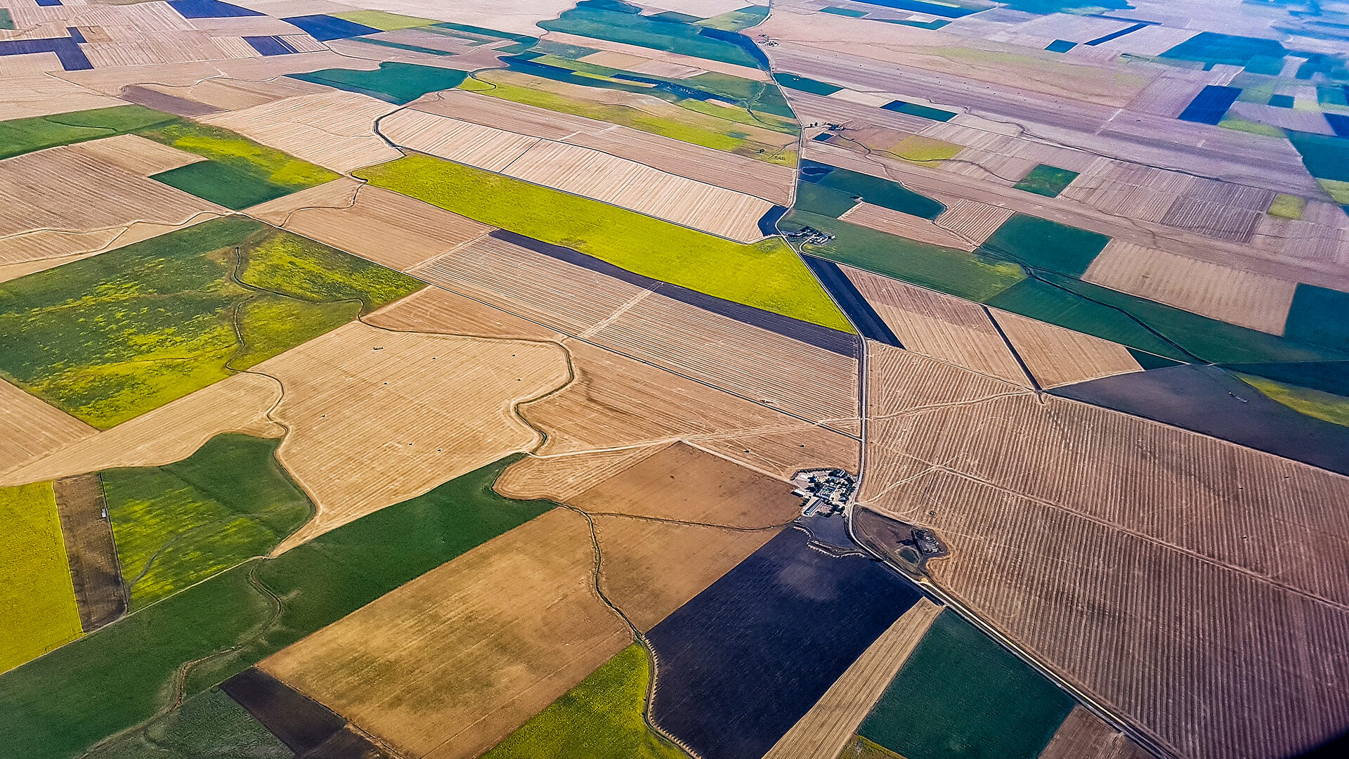
THE INSIGHTS
Too Much Guesswork, Too Little Visibility
Agricultural performance depends on accurate visibility, the ability to continuously monitor changes in soil, vegetation, and environmental conditions.
When data is incomplete or delayed, inefficiencies compound: water is overused, diseases go undetected, and resources are misallocated. Reliable insight replaces uncertainty, turning every decision from a guess into a measurable improvement.
To change outcomes, agriculture needs to see further, connect deeper, and decide faster.
THE SOLUTIONS
Clarity Creates Control
Plan-S bridges the gap between the ground and the space through two powerful, complementary technologies
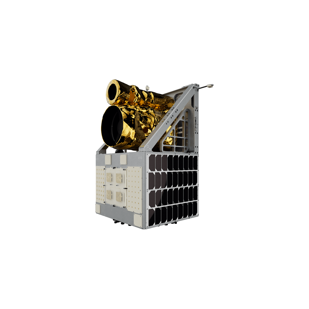
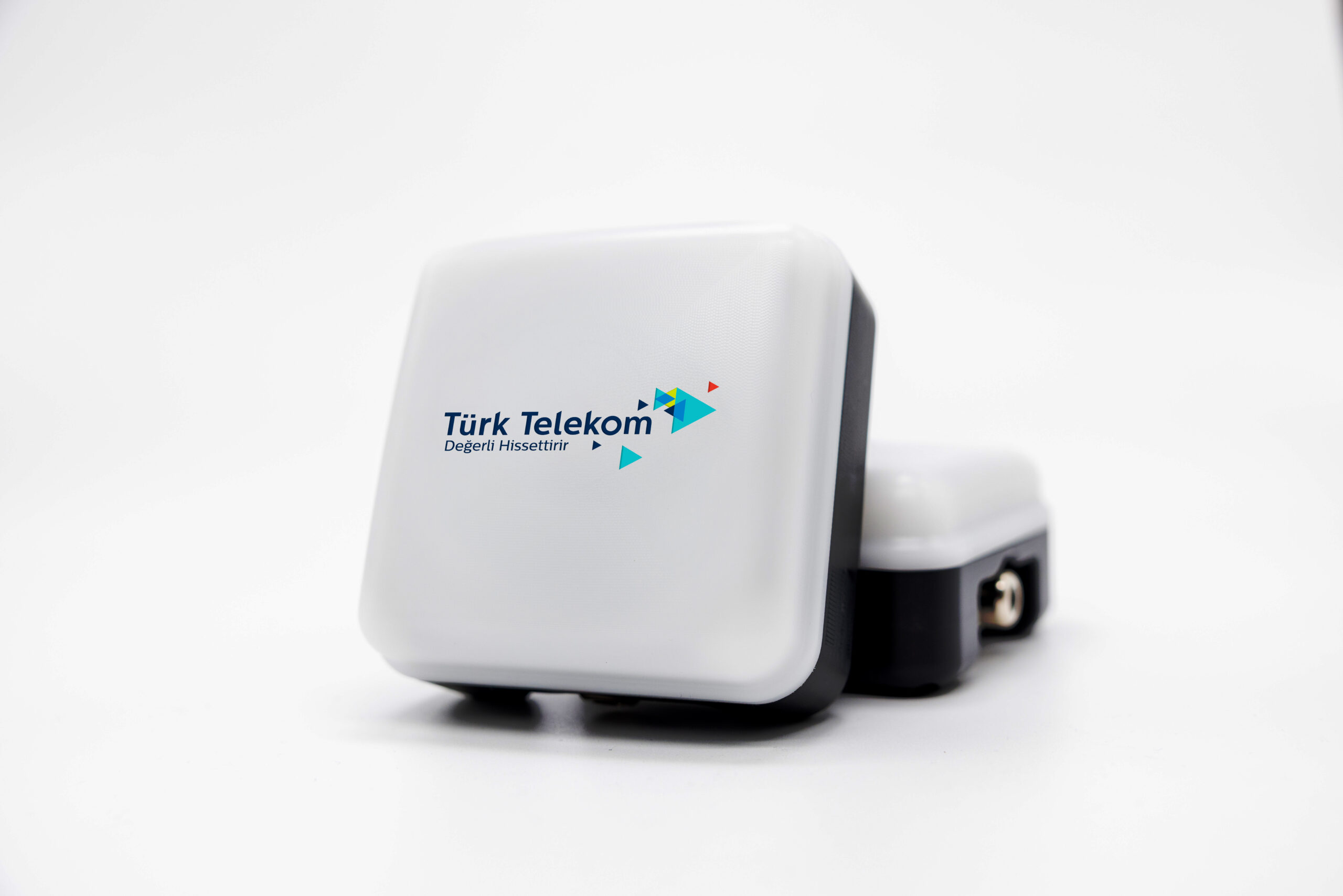
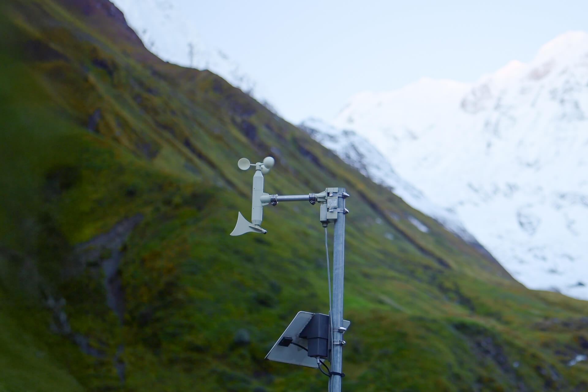
IoT Connectivity
Collecting seamless data from sensors, equipment, and remote locations where traditional networks can’t reach.
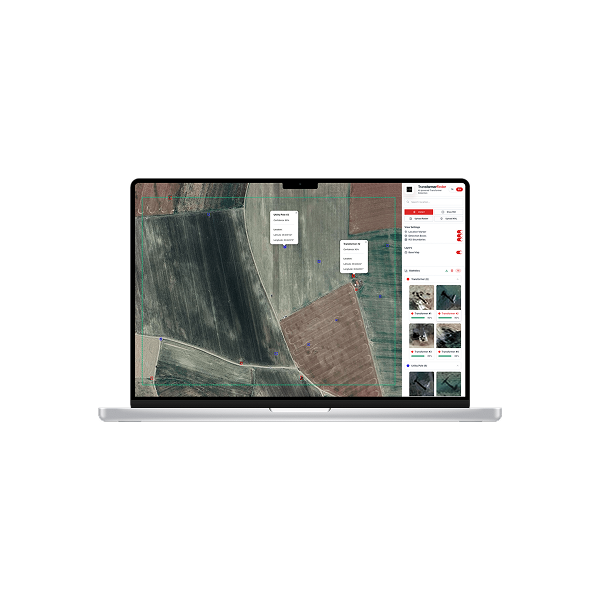
Observation & Insights
Transforming satellite imagery and geospatial insight into clear, actionable intelligence for productive agriculture.
Whether it’s a small vineyard or an entire nation’s farmland, Plan-S delivers precision where it matters most. From Soil to Satellite. From Insight to Action.
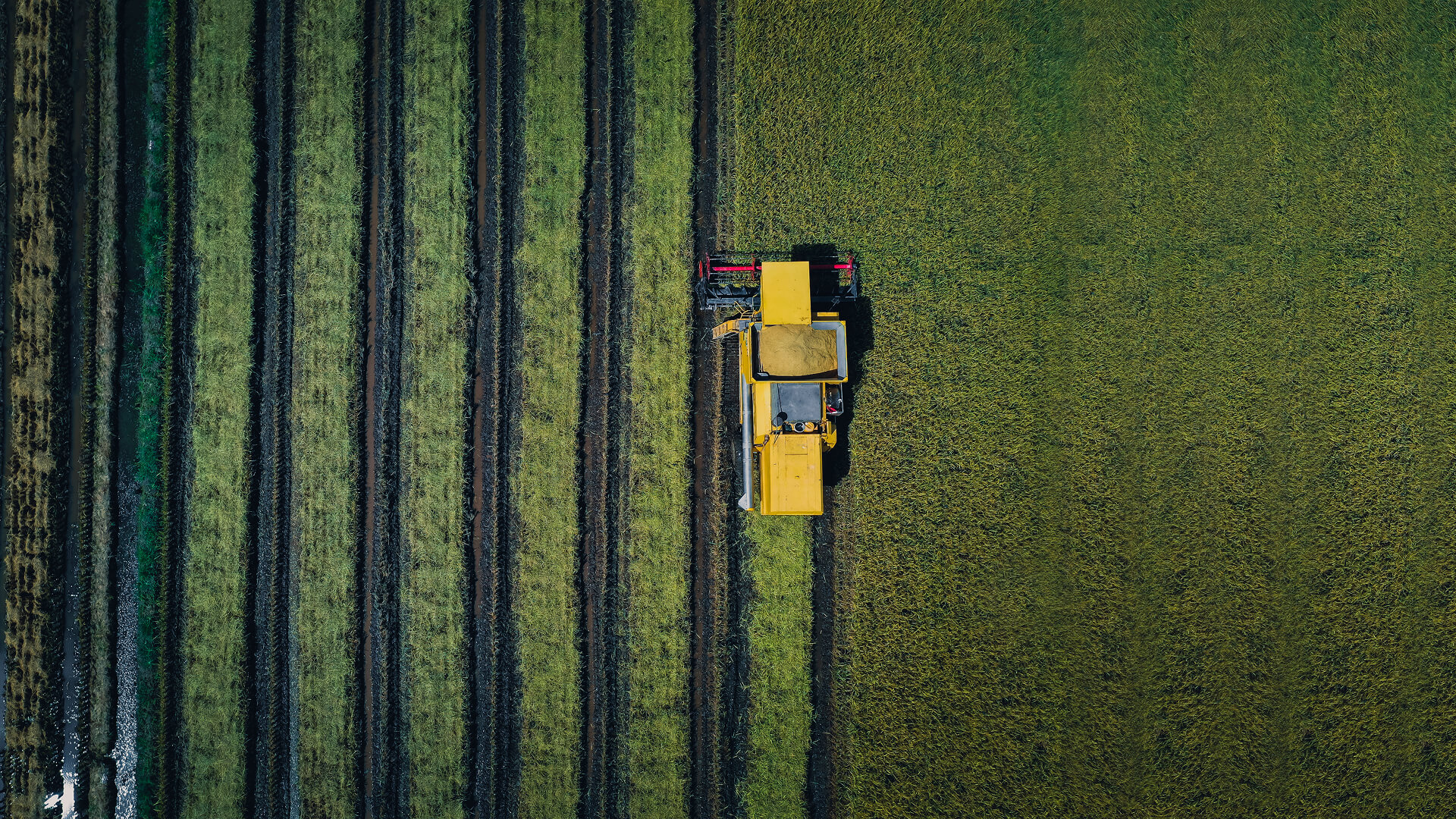
USE CASES
Proven Applications
Every field has a story of growth, stress, and recovery. With Plan-S, those stories become visible, measurable, and optimizable.
When farms sit beyond cellular reach, Connecta streams crop condition data over satellite, enabling early stress detection, fewer guesswork trips, and higher yield stability.
In areas with no terrestrial coverage, Connecta IoT Modems deliver soil sensor telemetry over satellite to reduce data gaps, trigger early alerts, and improve yield decisions.
INDUSTRIES WE SERVE
Powering Industries with Space-Based Services
Industries face unique challenges, from energy efficiency to agricultural yields and financial risk. Connecta and Observa turn these into solutions with satellite IoT and Earth Observation, transforming space data into actions that create value on Earth.
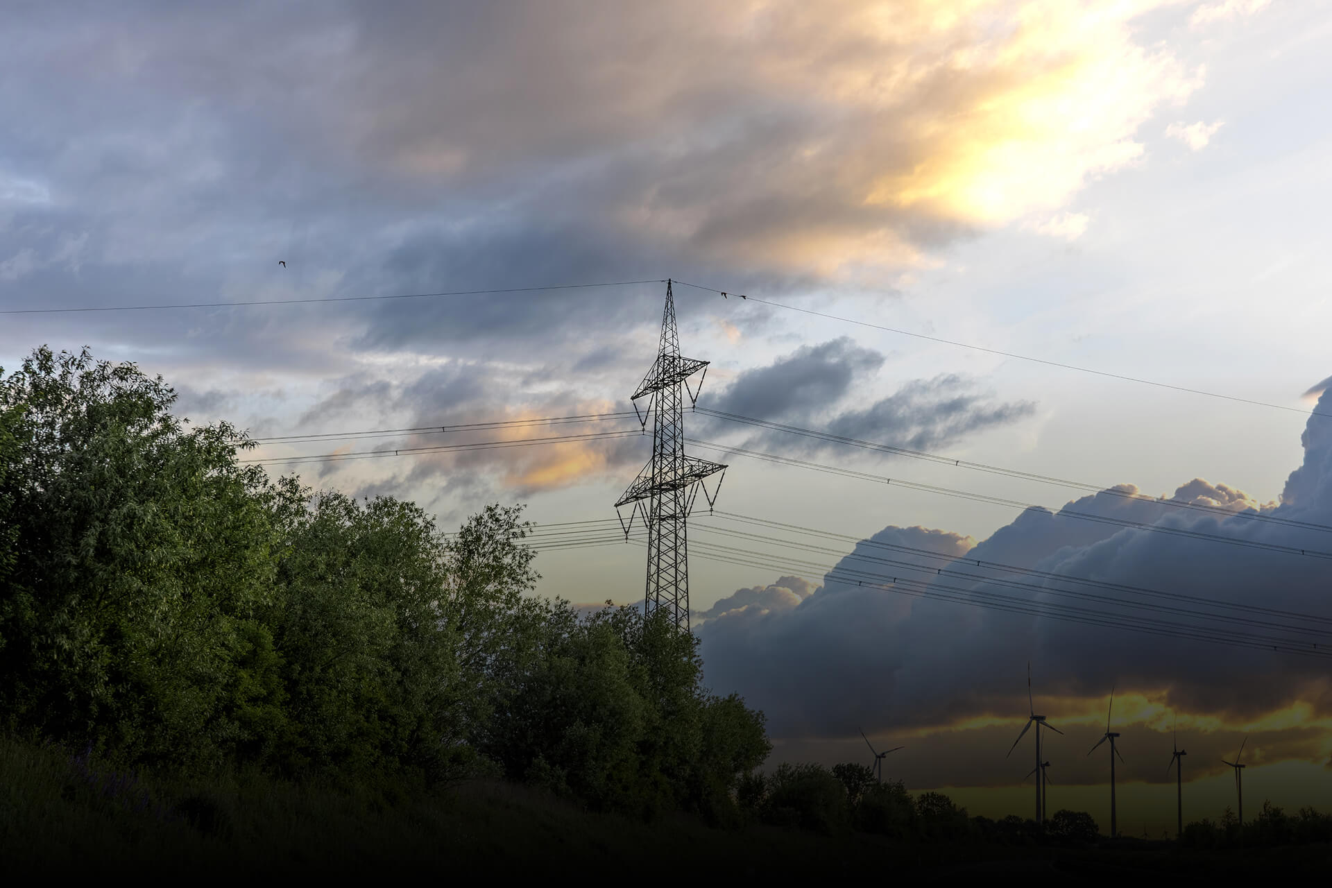
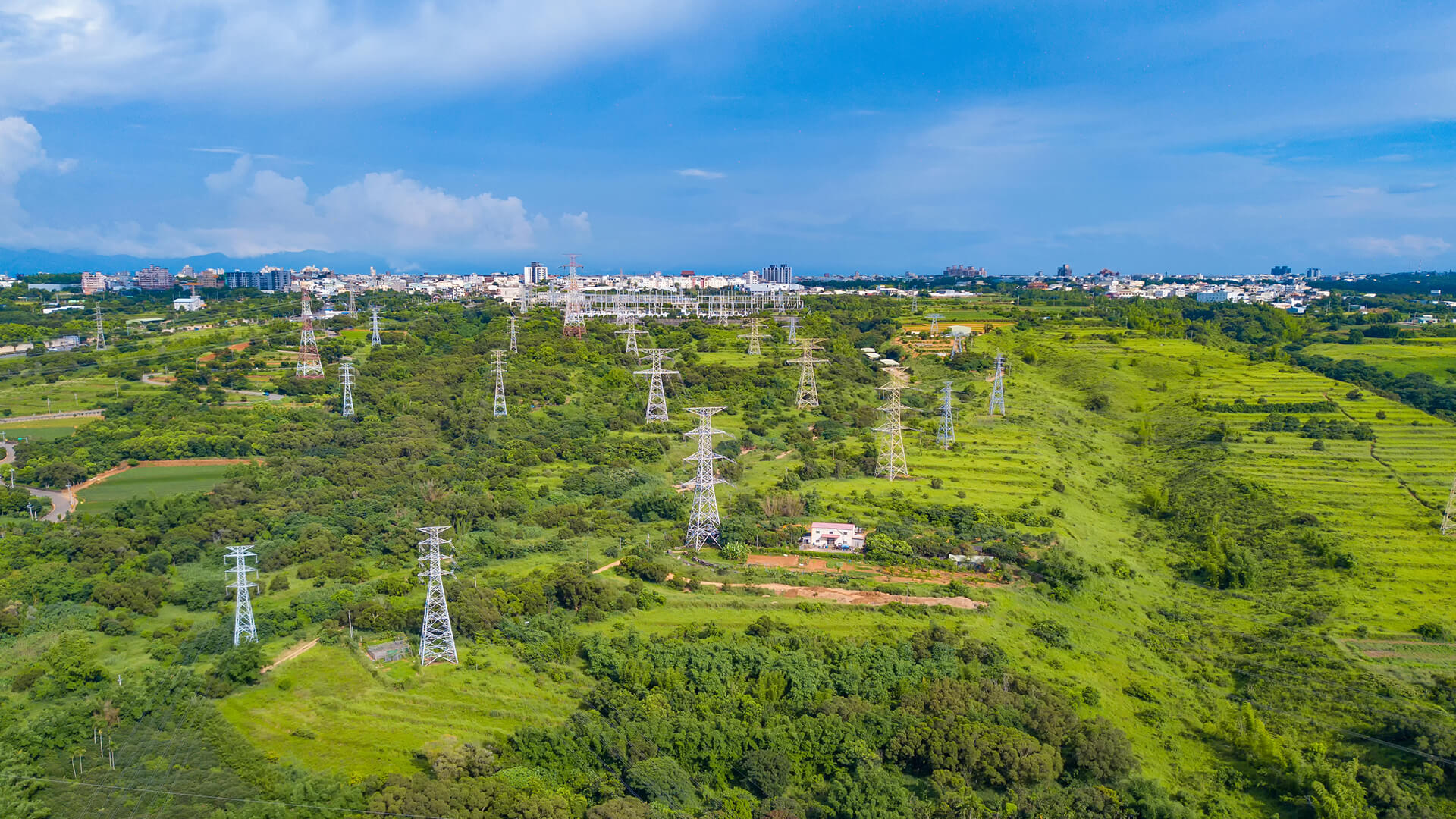
Energy
Continuous visibility across meters, tanks, lines, and corridors improves loss control, targets inspections, strengthens safety oversight, and keeps delivery more reliable.


GET IN TOUCH
From Orbit, For a Sustainable Harvest
Technology and nature don’t stand apart; they move forward together. By combining connectivity, observation, and analytics, Plan-S supports a future where agriculture is not only more productive but also more responsible.
Get in Touch