See the Ground. Connect the Mission

Modern defence and security operations demand more than isolated images or patchy comms. Plan-S fuses high-resolution Earth observation from Observa with resilient satellite IoT from the Connecta IoT Network, creating a continuous situational layer over borders, bases, maritime corridors, and critical assets, so commanders can see, understand, and shape the mission with confidence.
Get in Touch
Get in Touch
THE CHALLENGE
Complex Threats. Fragmented Visibility
Today’s operational environment is fluid and contested, with threats emerging between traditional intelligence cycles.
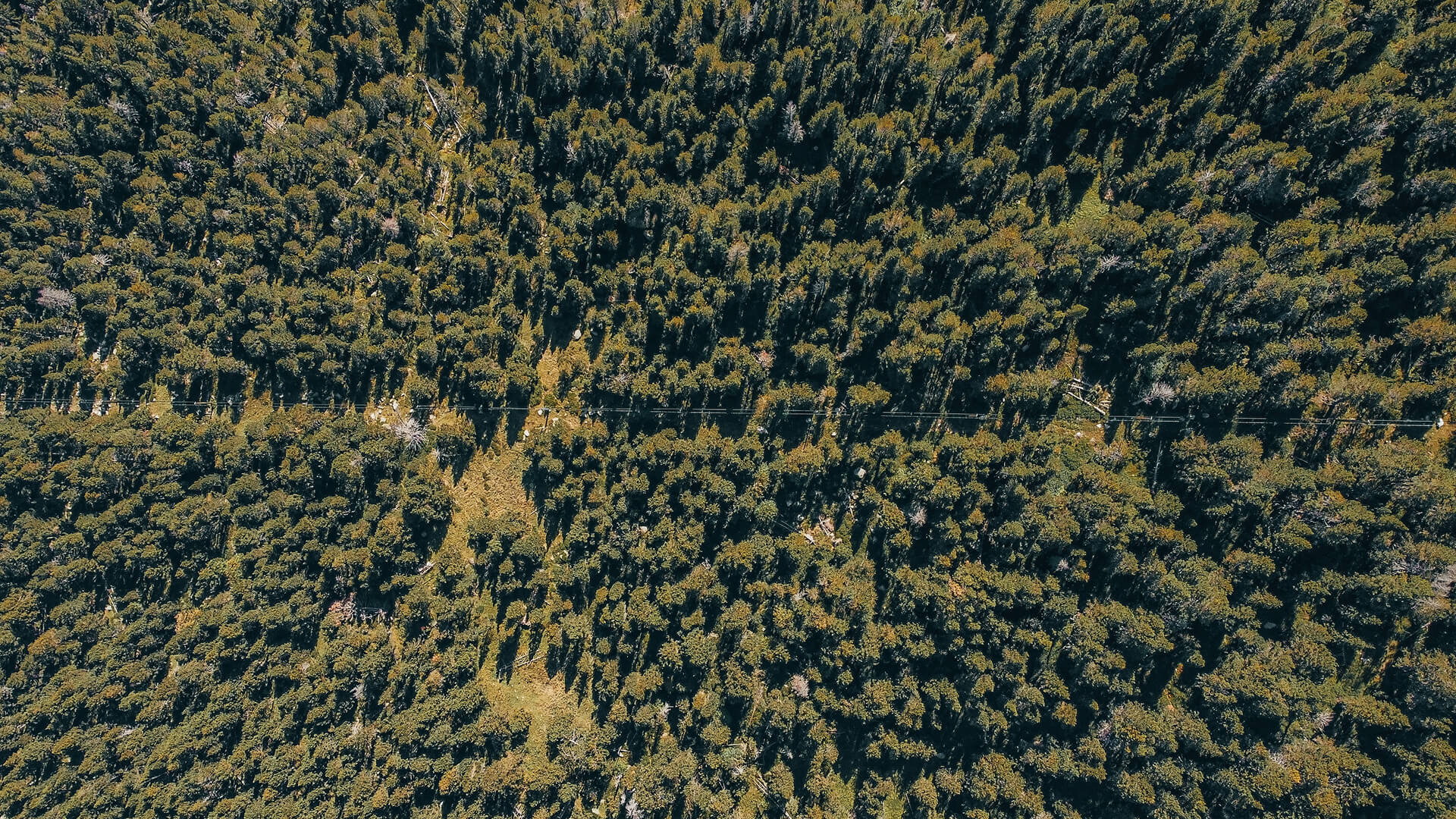
Dispersed activity, grey-zone movements, camouflaged assets, and long borders are difficult to monitor with patrols, sorties, or legacy sensors alone. Covert construction, unregistered movements, and shifting routes often accumulate unnoticed until they become strategic surprises.
Many forward bases, border sectors, and critical sites also sit beyond reliable terrestrial coverage, and in contested theatres, primary networks can be jammed or lost entirely. Commanders need consistent, auditable evidence across large areas, not occasional snapshots tied to patrol schedules.
THE INSIGHTS
Wide-Area Insight and Assured Connectivity Win
Defence forces are converging on a simple principle: the clearer and more continuous the battlespace picture, the greater the initiative. This is accelerating the shift toward space-based sensing and satellite IoT.
Multi-temporal imagery and AI analytics now turn vast areas into decision ready intelligence, while low-power, satellite connected IoT devices keep unattended sensors, vehicles, and critical infrastructure online across remote or contested terrain. Together, these layers close the gaps left by sparse patrols and unreliable networks, enabling a coherent operational picture that supports better planning and real-time decisions.
THE SOLUTIONS
Space Enabled Defence from Orbit to the Edge
Plan-S unifies two core capabilities, Earth Observation from Observa and satellite IoT connectivity from Connecta IoT Network within a mission platform built specifically for defence workflows. The result is a persistent situational layer that captures ground truth, environmental context, and the communication gaps between them.
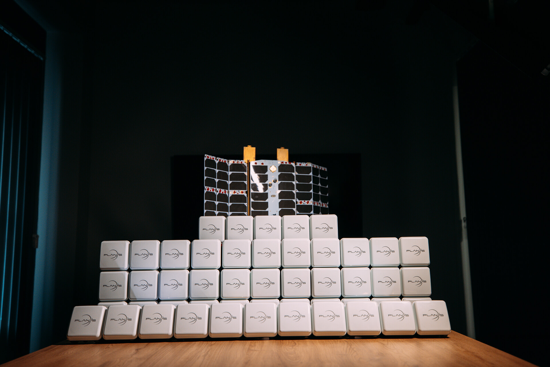
IoT Connectivity
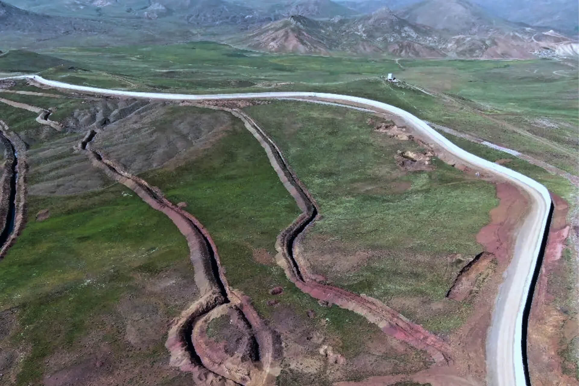
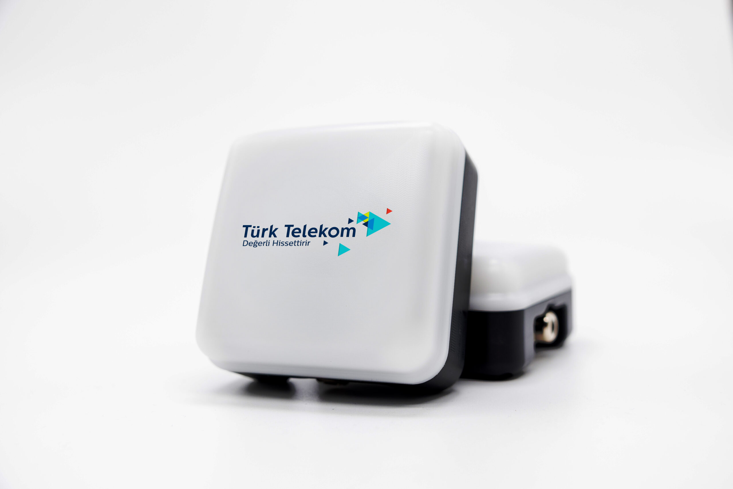
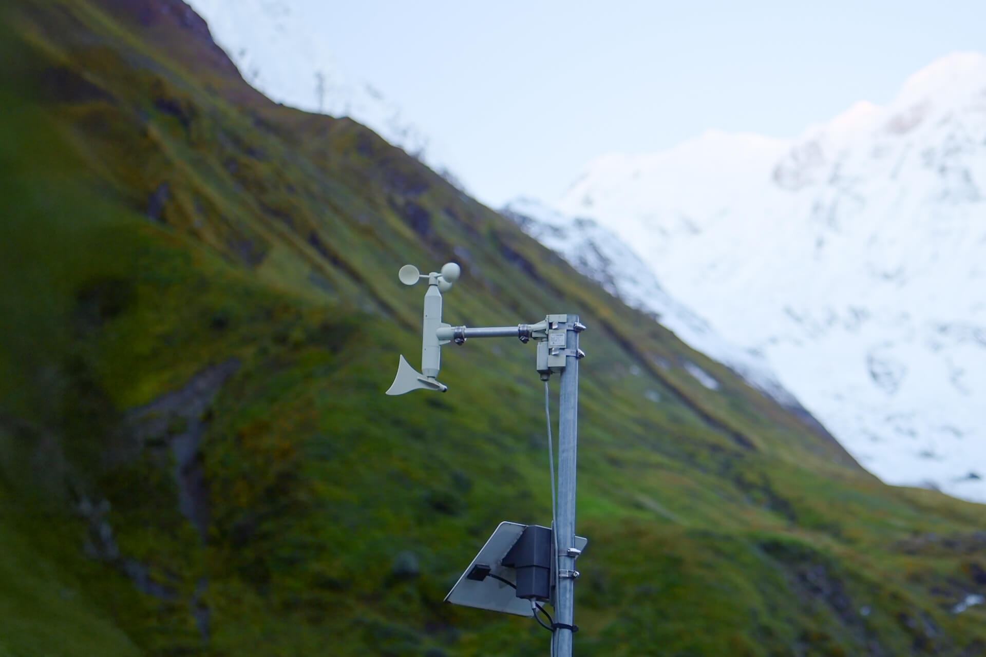
The Connecta IoT Network delivers critical awareness in areas where terrestrial communications fail. Satellite connected, low-power sensors maintain perimeter and border visibility, keep vehicles and assets trackable beyond cellular range, and provide resilient monitoring for forward bases and critical infrastructure.
Rugged and infrastructure independent, the Connecta IoT Modem family supports long-duration sensor grids across wide, challenging terrain.
Explore Solution
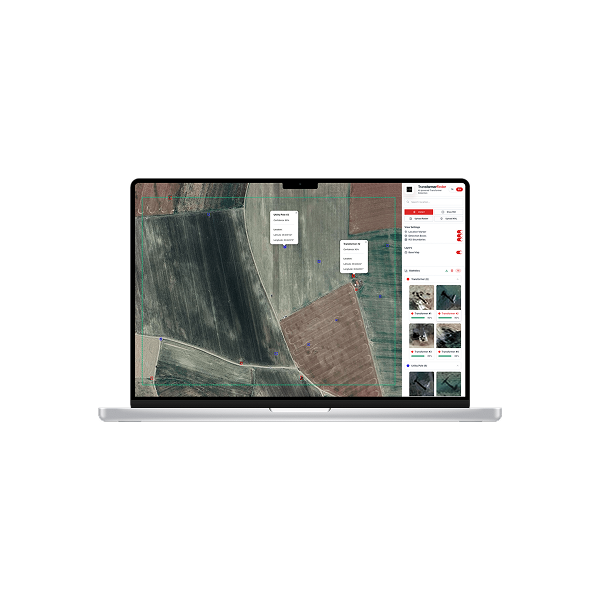
Observation & Insights
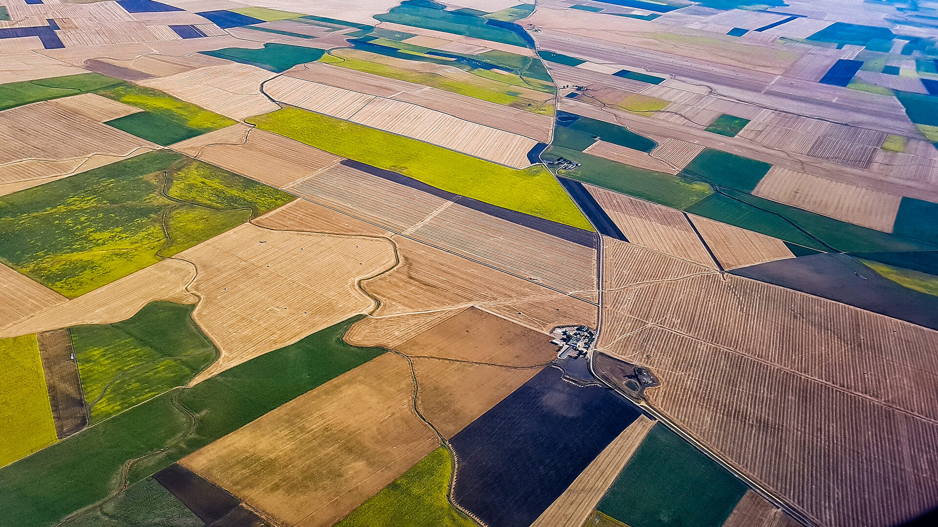
Observa fuses high-resolution optical, multispectral, and thermal satellite data with AI analytics to monitor how environments and activities change over time.
It delivers wide-area awareness of borders, bases, corridors, and critical infrastructure; detects new tracks, covert construction, and shifting movement patterns; and surfaces terrain factors like soil stability, flood risk, vegetation, and thermal signatures. All insights are delivered as structured layers ready for integration into defense GIS, ISR, and command systems.
Explore Solution
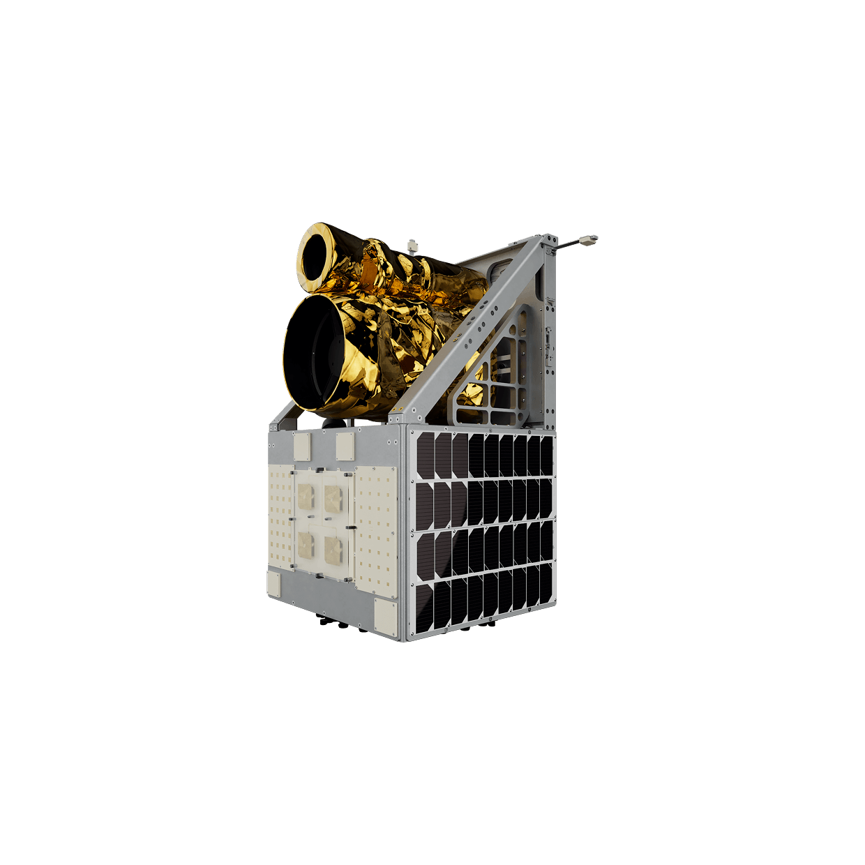
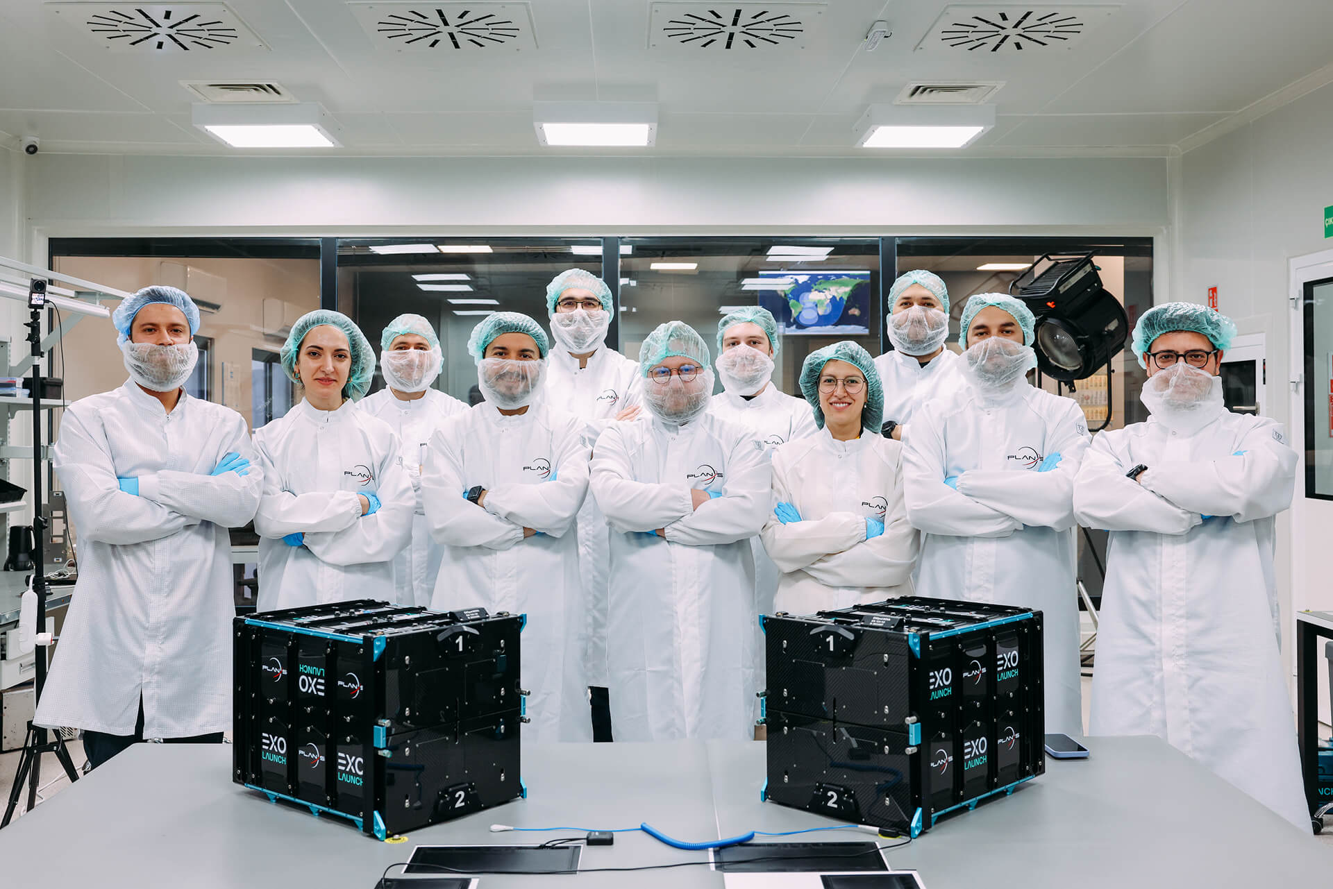
Space Services
Defence customers can field SIGINT and SAR spacecraft through tailored satellite platforms and complete mission configurations engineered for demanding operational requirements. Flight-ready subsystems for defence-class satellites are also available to accelerate integration, reduce technical risk, and strengthen mission reliability.
From concept definition and engineering through manufacturing, AIT, launch coordination, and in-orbit operations, an end-to-end delivery model shortens time-to-capability under a single accountable interface.
USE CASES
Proven Applications
By combining multi-modal imagery with satellite-connected sensing, Plan-S turns dispersed data points into operational advantage on the ground, at sea, and across borders.
INDUSTRIES WE SERVE
Powering Industries with Space-Based Services
Industries face unique challenges, from energy efficiency to agricultural yields and financial risk. Connecta and Observa turn these into solutions with satellite IoT and Earth Observation, transforming space data into actions that create value on Earth.

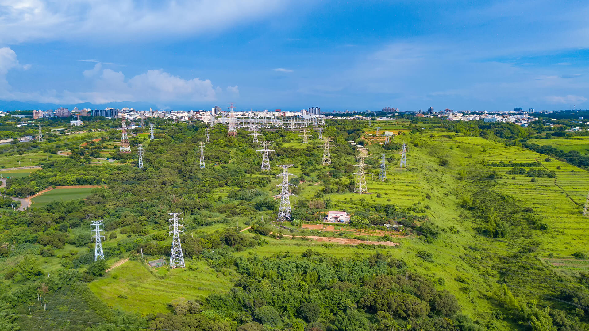
Energy
Continuous visibility across meters, tanks, lines, and corridors improves loss control, targets inspections, strengthens safety oversight, and keeps delivery more reliable.


GET IN TOUCH
From Orbit and Field, for Intellegence Defence Decisions
Defence and security organizations need a coherent mission picture, not isolated feeds. By combining satellite imagery with assured connectivity beyond the frontline, this approach delivers wide-area visibility across borders and bases, supports evidence-driven planning and prioritization.
Get in Touch