Monitoring a Moving Planet


Forests, oceans, coasts, and cities are changing every day. Plan-S combines multi-modal Earth observation with satellite IoT connectivity to transform those changes into clear, continuous environmental intelligence, ready for agencies, researchers, and operators who need the full picture, not isolated readings.
Get in Touch
Get in Touch
THE CHALLENGE
Environmental Change Is Accelerating, Monitoring Isn’t
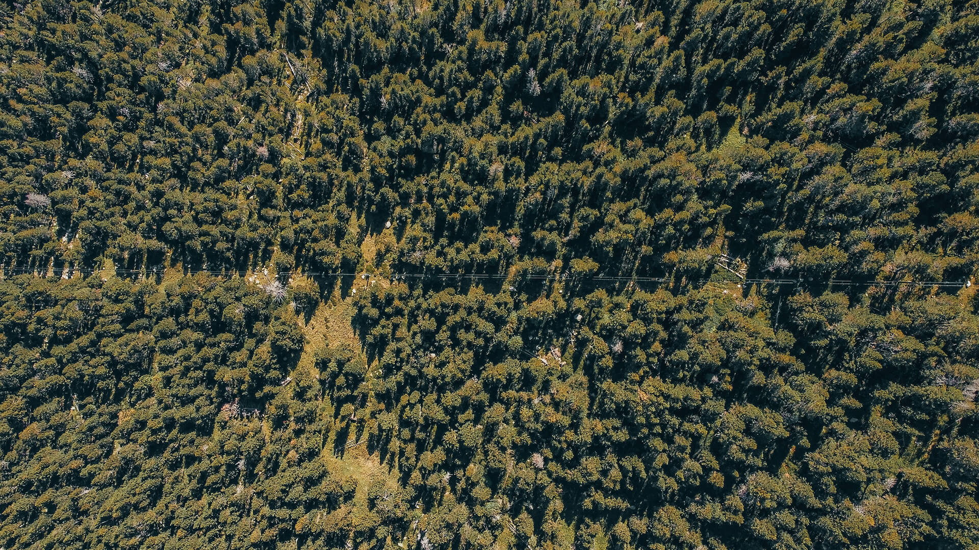
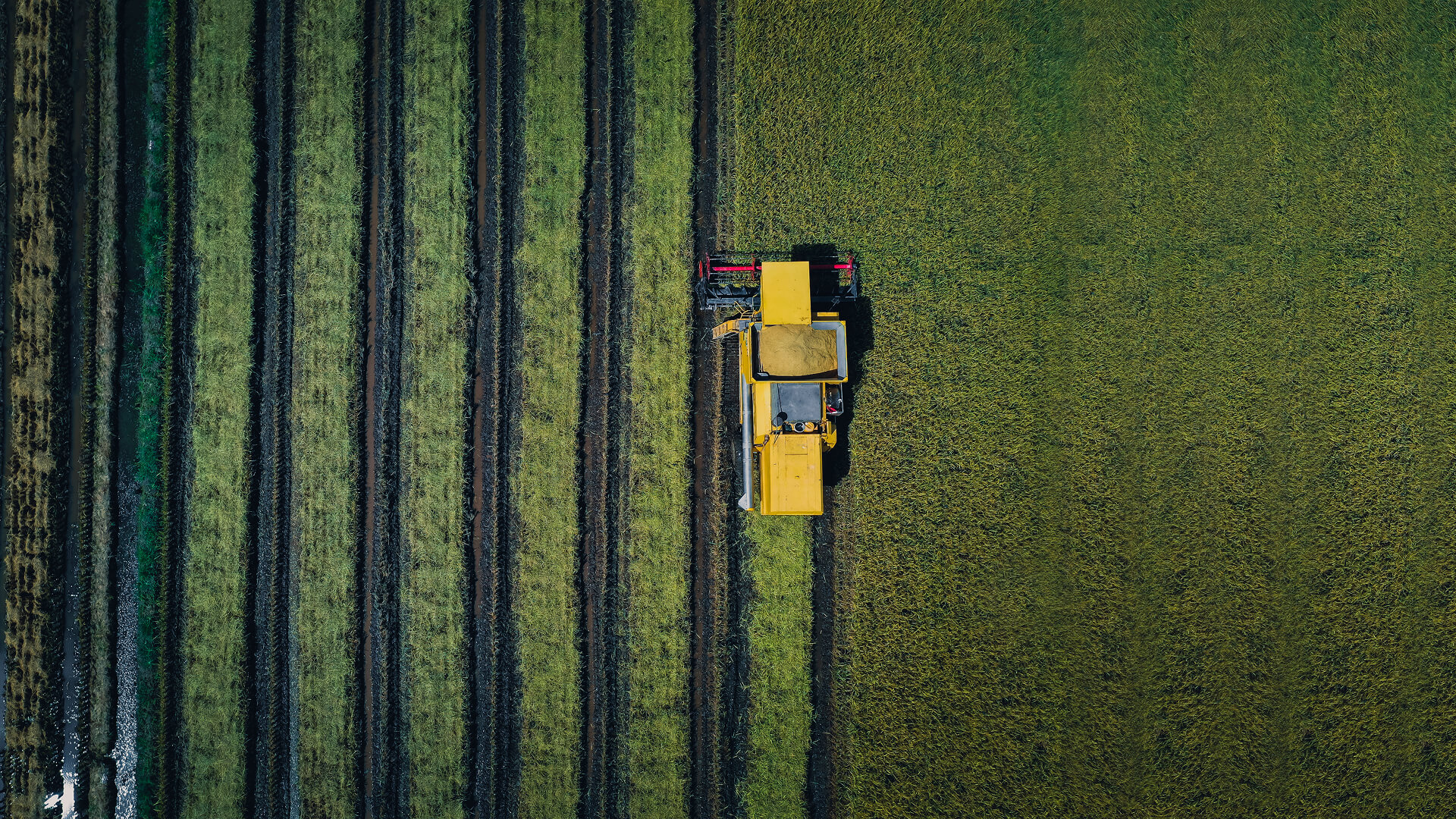
Deforestation, land degradation, wildfire risk, biodiversity loss, extreme weather, and water stress are now daily realities, and monitoring systems are struggling to keep pace.
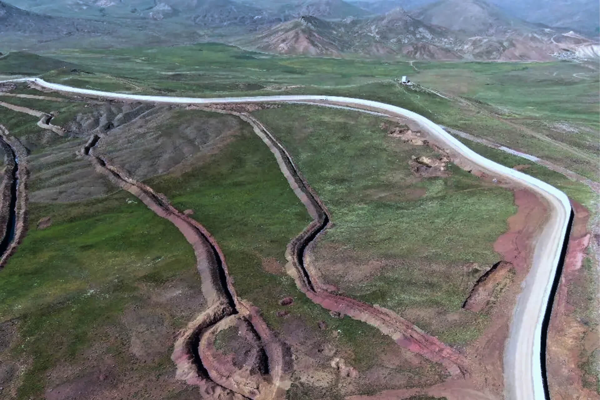
Forest loss and illegal encroachment can go undetected for weeks, while many rivers, lakes, and coastal zones are monitored only intermittently, leaving major gaps in water quality and ecosystem data.
Weather and climate networks also face blind spots in mountains, polar regions, open oceans, and remote basins where terrestrial coverage doesn’t reach. As ecosystems shift faster than they are measured, decision-makers are increasingly left reacting to damage rather than managing risk proactive
THE INSIGHTS
Why Environmental Monitoring Is Moving Beyond Ground Only Networks
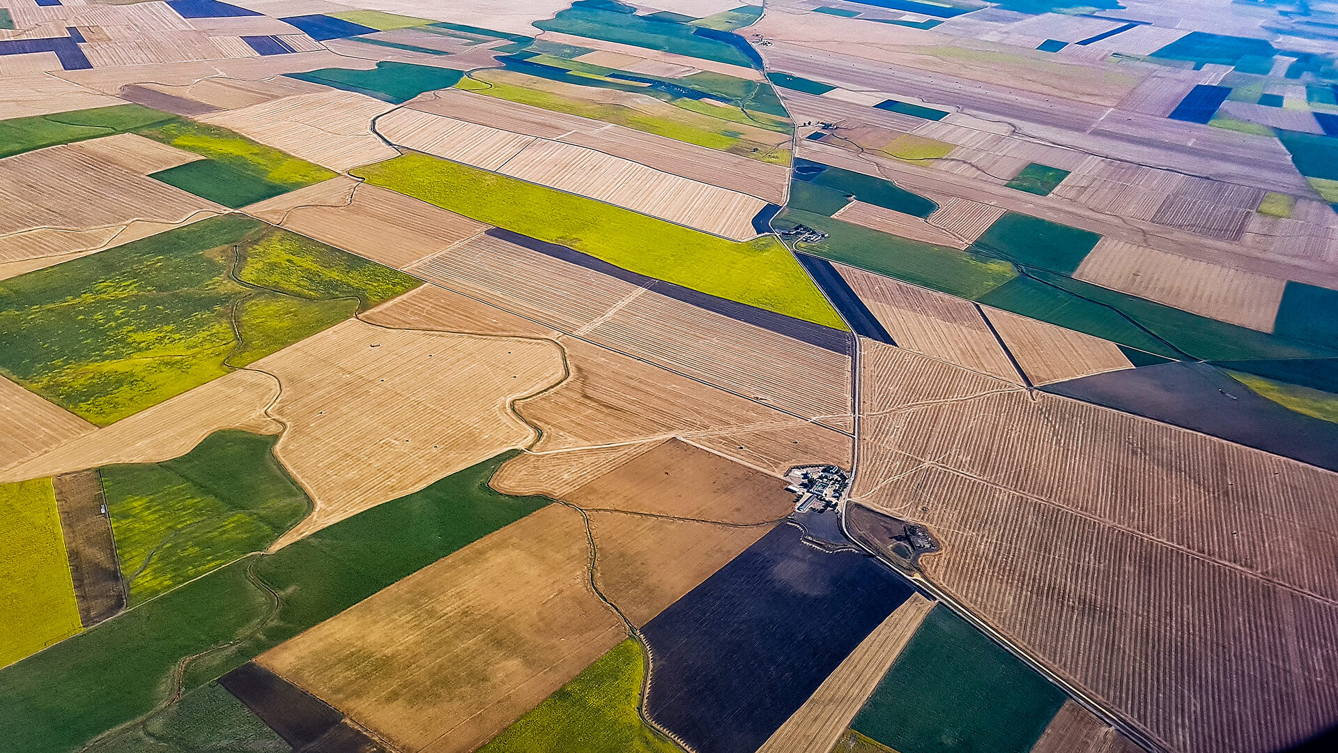
Field stations and surveys are vital, but they can’t deliver the scale or frequency modern environmental programs need. By combining satellite imagery with connected sensors, agencies gain ecosystem level visibility: multi-temporal imagery tracks deforestation, land degradation, wetland loss, and coastline change; satellite linked water quality probes keep key parameters online even offshore; and satellite-connected weather sensors extend observation networks into regions unreachable by terrestrial systems.
When orbital and field data work together, environmental monitoring becomes continuous, scalable, and operationally effective.
THE SOLUTIONS
Observa and Connecta Unite for the Environment
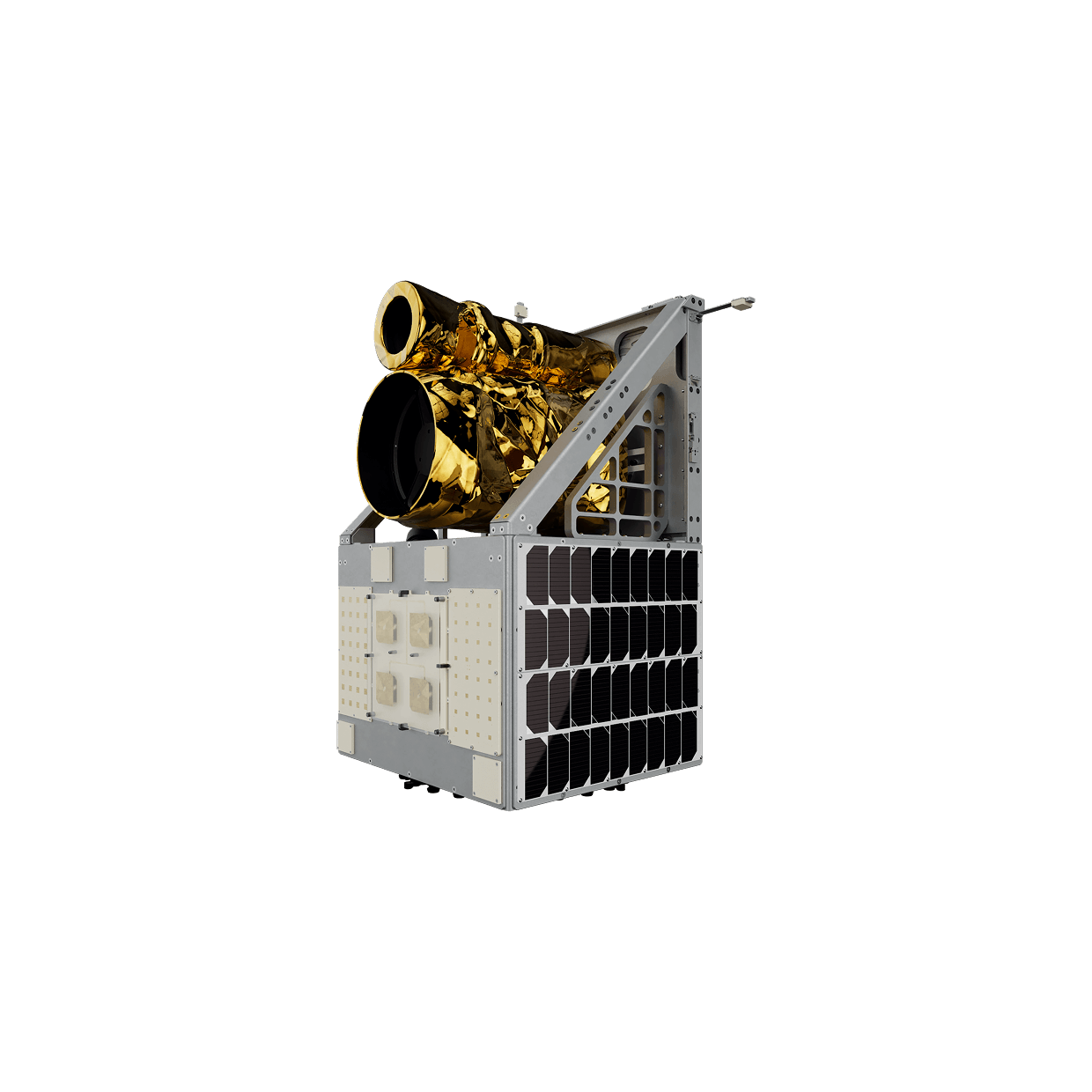
Three core capability layers come together in one interoperable approach: Earth observation from orbit, satellite-enabled IoT connectivity in the field, and analytics workflows engineered specifically for environmental and climate missions.
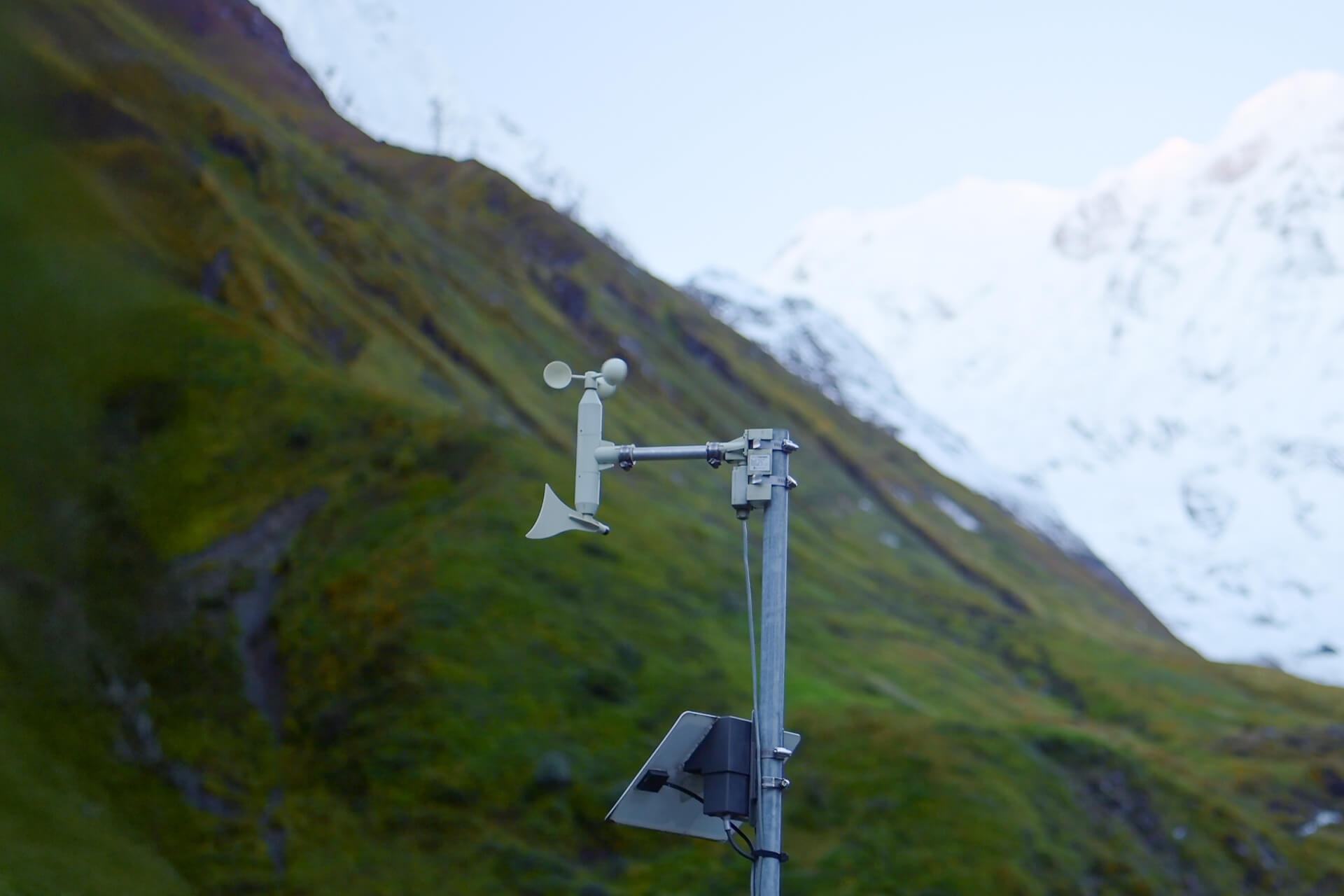
IoT Connectivity
Satellite connected devices link water-quality probes, aquaculture systems, structural sensors, and remote stations without relying on cellular networks. Ultra-efficient LoRaWAN® modems run for years on solar or battery power, making them ideal for buoys, cages, gauges, and off-grid weather nodes.
Continuous streams of oxygen, temperature, pH, turbidity, salinity, wind, rainfall, and river-level data flow directly into cloud, SCADA, or environmental platforms.
Explore Solution
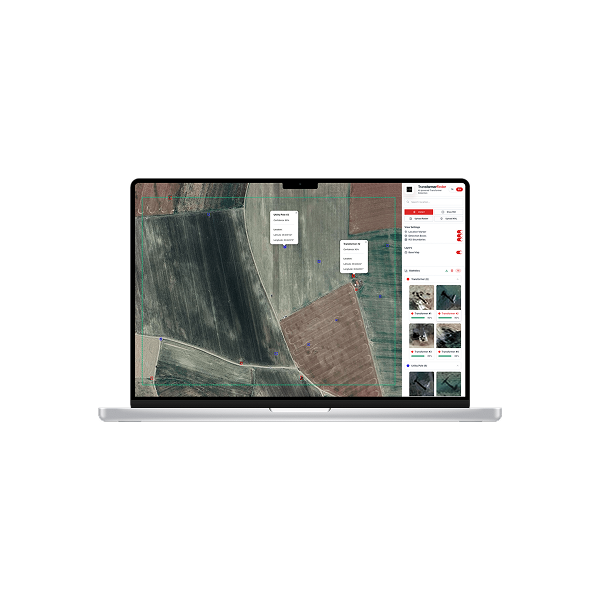
Observation & Insights
Observa converts multi-modal satellite imagery into analysis-ready environmental insight. Optical, multispectral, and thermal data reveal stress, change, and anomalies across forests, wetlands, watersheds, coastal zones, and other sensitive landscapes.
AI-driven workflows detect deforestation, land degradation, illegal activity, biomass shifts, and shoreline dynamics within a unified monitoring layer. Standardized products and automated pipelines enable land-cover classification, temporal comparison, and anomaly screening at both national and ecosystem scales.
Explore Solution
USE CASES
Proven Applications
From forests and floodplains to offshore farms and climate networks, this unified approach elevates organizations from scattered observations to continuous environmental awareness.
From mountaintops to offshore platforms, Connecta keeps weather feeds alive via satellite, turning sparse station readings into reliable alerts, trends, and planning inputs.
INDUSTRIES WE SERVE
Turning Space Technology into Industry Value
Industries face unique challenges, from energy efficiency to agricultural yields and financial risk. Plan-S turns these into solutions with satellite IoT and Earth observation, transforming space data into actions that create value on Earth.
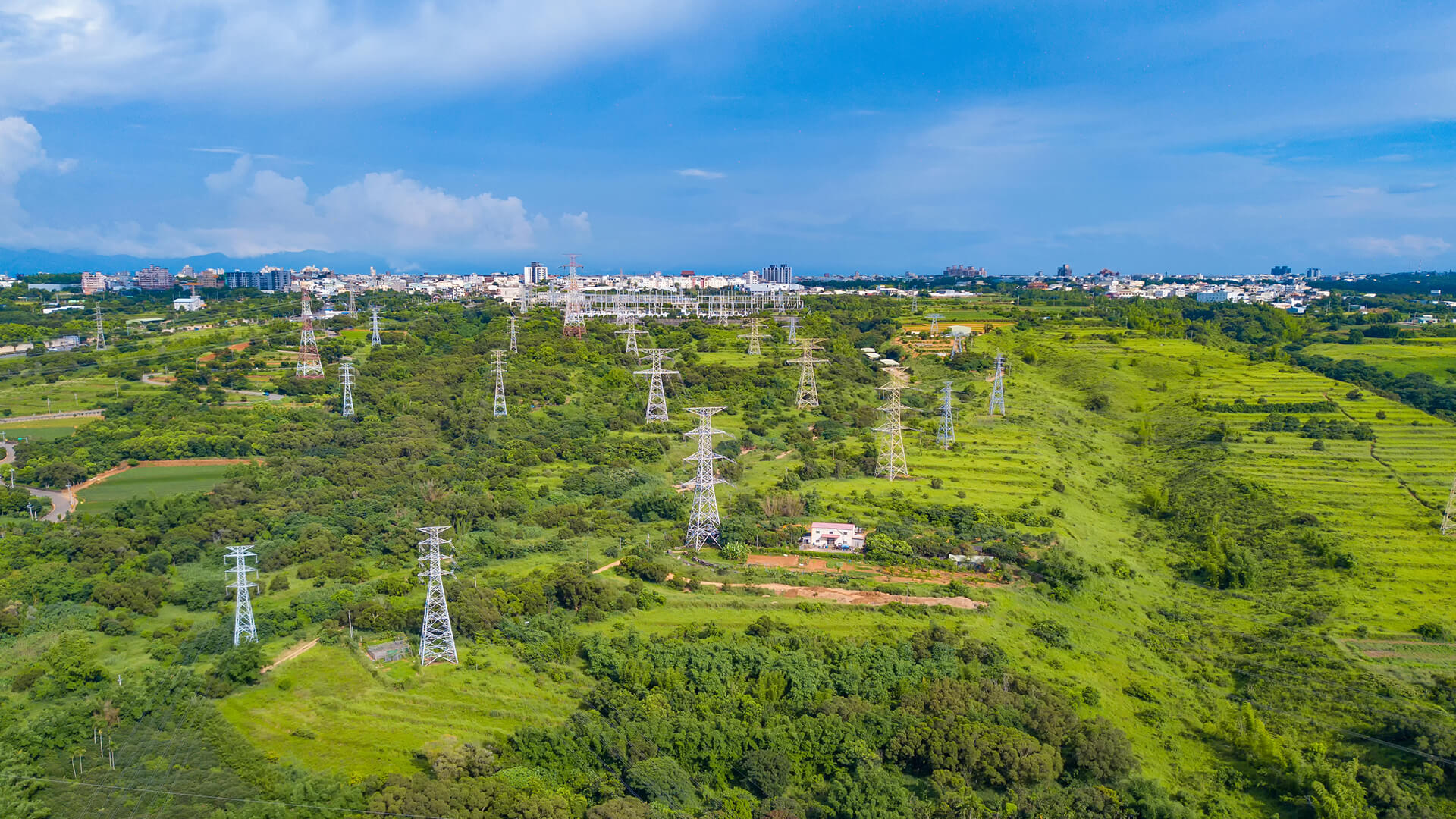
Energy
Continuous visibility across meters, tanks, lines, and corridors improves loss control, targets inspections, strengthens safety oversight, and keeps delivery more reliable.


GET IN TOUCH
From Space to Strategy: Environmental Footprint
Protecting the environment requires continuous visibility, not occasional measurements. By combining Observa and Connecta, environmental change is detected early, and climate action, conservation, and compliance are backed by trusted, defensible data.
Get in Touch