Space Powered Intelligence for Infrastructure & Utilities


From power grids and pipelines to rapidly evolving cities, critical networks are changing faster than traditional monitoring can keep up. By uniting multi-modal Earth Observation with satellite IoT connectivity, this capability provides an always on view of every corridor, asset, and district, enabling smarter planning, earlier intervention, and uninterrupted delivery of essential services.
Get in Touch
Get in Touch
THE CHALLENGE
Critical Networks, Limited Visibility
Infrastructure and utilities are under growing pressure.
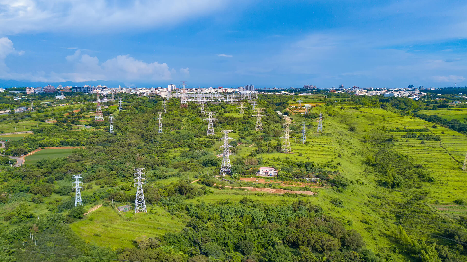
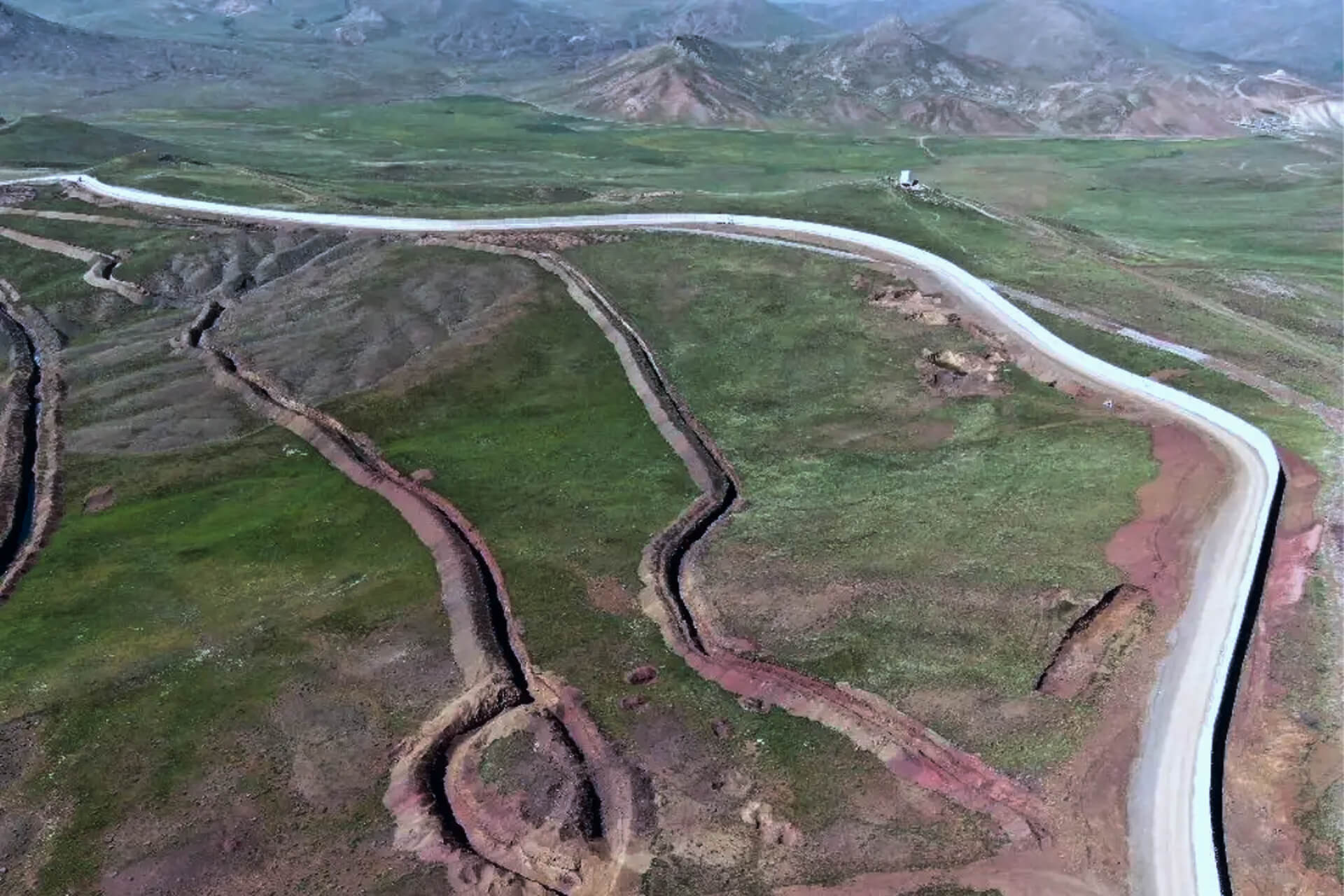
Power grids contend with rising demand, extreme weather, and vegetation encroachment; pipelines run through remote terrain where manual patrols miss early leaks or corrosion; and cities expand faster than traditional surveys can track, allowing risks like unauthorized construction and emerging flood zones to go unnoticed.
When awareness depends on infrequent inspections and outdated maps, operators are left reacting only after failures and compliance issues appear.
THE INSIGHTS
Why Always On Awareness Is Now Essential
Regulators, customers, and communities expect infrastructure to stay reliable and safe, even as climate volatility and rapid urbanization make oversight harder.
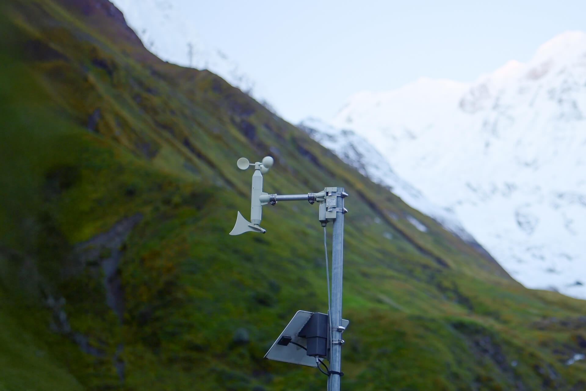
Operators are shifting from periodic checks to continuous, network wide visibility: utilities monitor vegetation, land movement, and storm impacts with satellite imagery; pipeline operators use satellite connected sensors for time pressure and corrosion data; and urban authorities rely on Earth Observation and AI to track growth, land use, and flood exposure. Seeing risk as it forms across grids, pipelines, and cities creates a clear advantage in reliability, safety, and long term planning.
THE SOLUTIONS
Space Layer for Utilities and Infrastructure
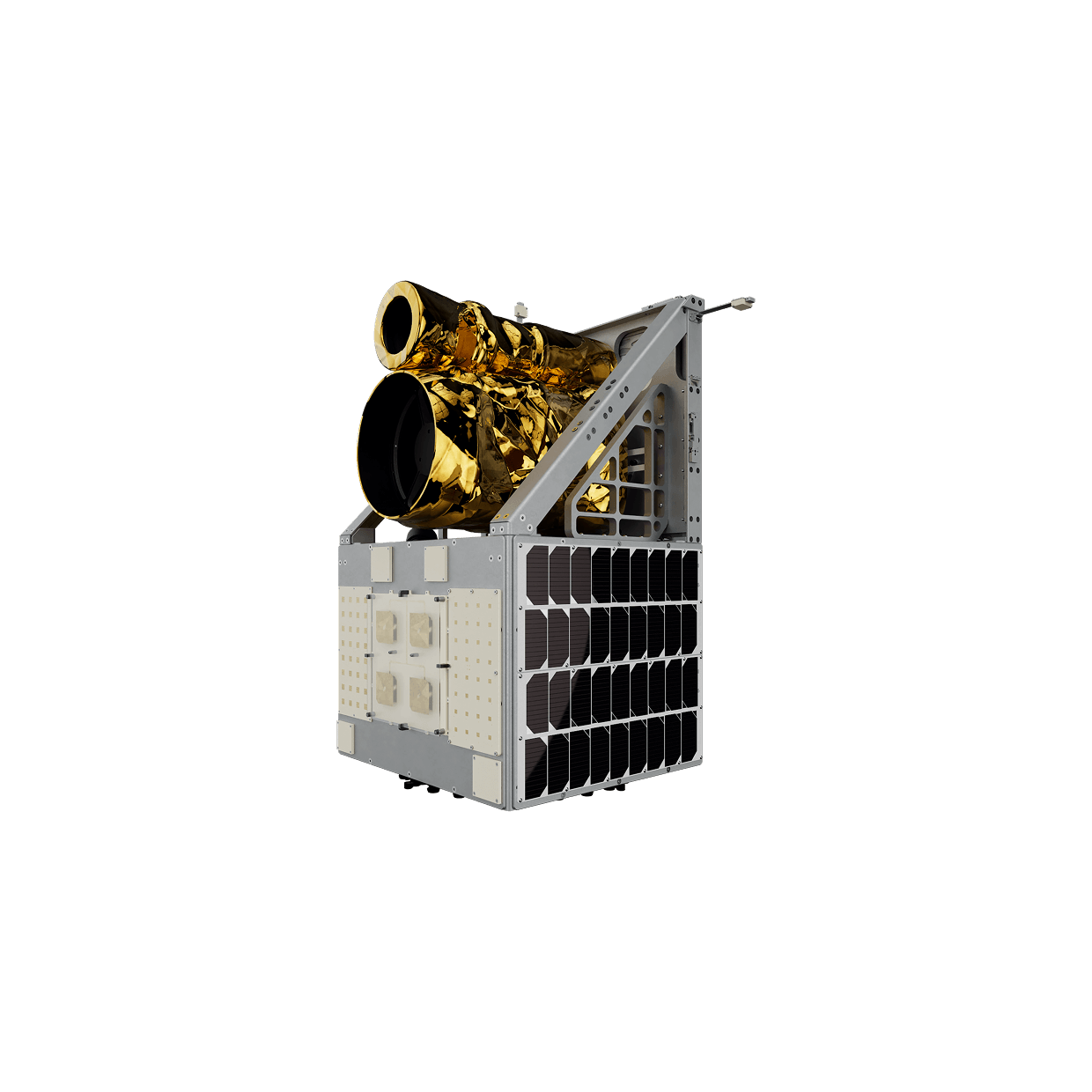
Plan-S brings together the Observa Earth Observation portfolio, Observa Hub & Analytics Solutions, and the Connecta IoT Network into a unified capability stack that keeps critical infrastructure visible from orbit and from the field.
IoT Connectivity
Low power satellite connected sensors keep critical devices online anywhere, delivering dependable pressure, flow, vibration, and CP data with minimal field intervention.
Explore Solution
Observation & Insights
Multi-modal satellite imagery provides continuous visibility over assets capturing growth, risk, and change with actionable intelligence.
Explore Solution
USE CASES
Proven Applications
Space-enabled intelligence that translates directly into safer, more efficient, and more resilient operations.
When terrestrial networks are unreliable, Connecta IoT Modems deliver water meter data over satellite to keep readings complete, enable faster analytics, and cut truck rolls and OPEX.
Connecta sends manhole level, cover-open, and gas sensors data via satellite from coverage gaps, enabling warnings, fewer truck rolls, and safer on-site crews.
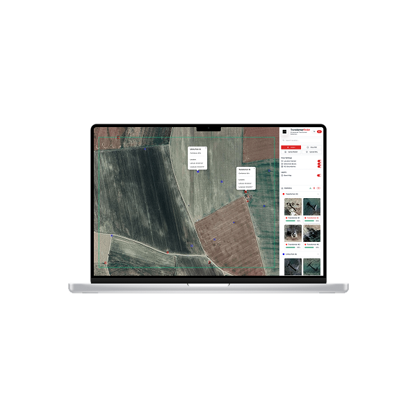
Utility assets become map-ready with Observa, mapping transformer locations and grid features while flagging suspicious usage patterns so utilities can target inspections, curb theft, and improve reliability.
INDUSTRIES WE SERVE
Turning Space Technology into Industry Value
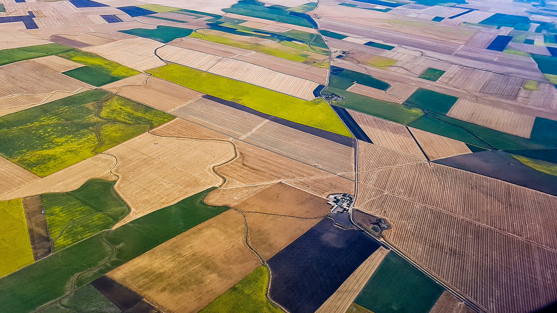
Industries face unique challenges, from energy efficiency to agricultural yields and financial risk. Plan-S turns these into solutions with satellite IoT and Earth observation, transforming space data into actions that create value on Earth.

Energy
Continuous visibility across meters, tanks, lines, and corridors improves loss control, targets inspections, strengthens safety oversight, and keeps delivery more reliable.


GET IN TOUCH
From Orbit and Field, for More Resilient Infrastructure
Critical infrastructure cannot wait on fragmented data. With Earth Observation, satellite IoT, and AI analytics combined, operators get continuous visibility, earlier risk signals, and faster decisions.
Get in Touch