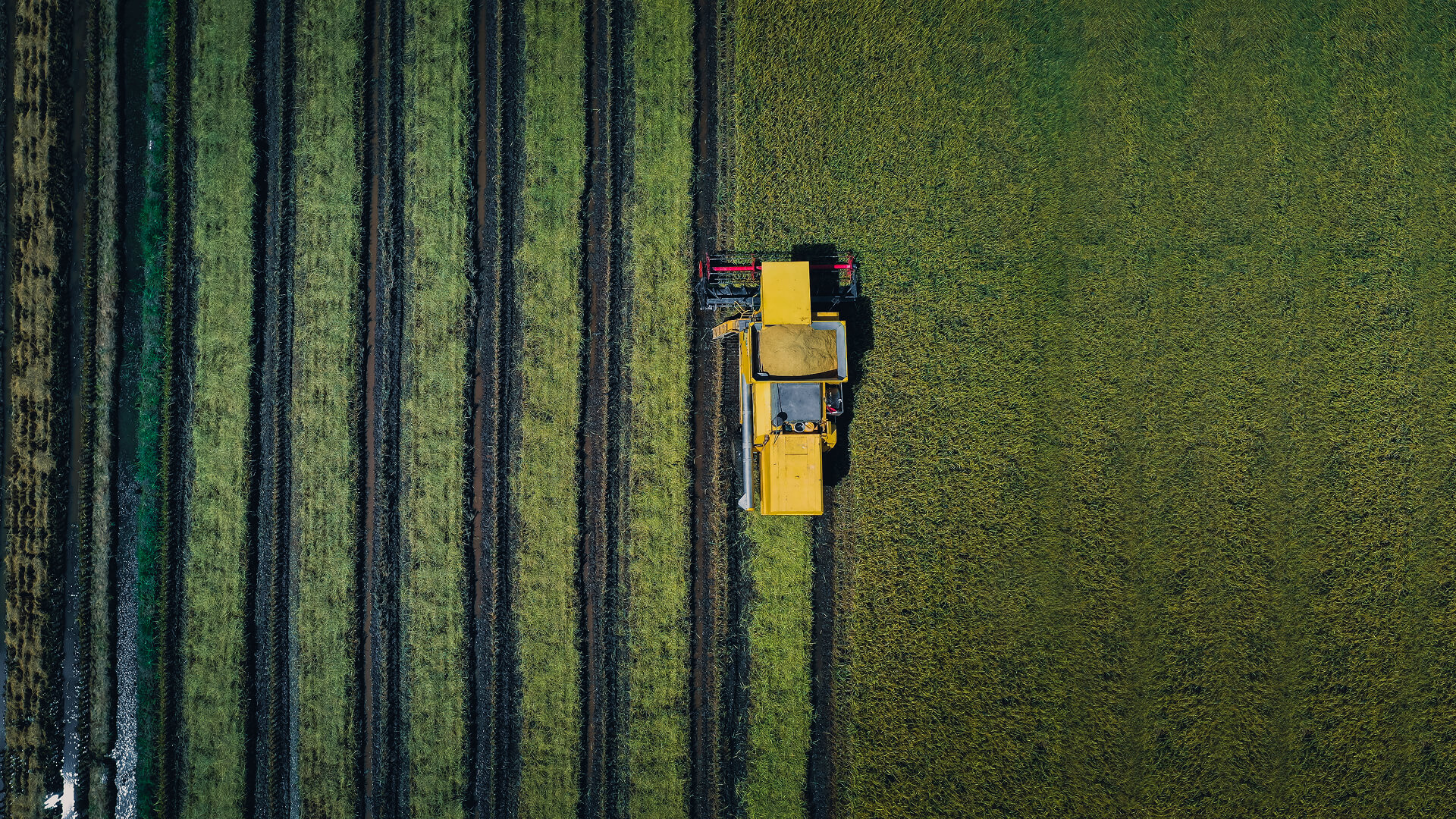
Every Field. Every Season. Clearly in View
Integrating multi-source satellite observations with advanced data processing, delivering the clarity and confidence needed to make smarter, data-driven agricultural decisions every season, everywhere.
THE CHALLENGE
Seeing the Unseen: Agriculture’s Data Visibility Gap
Farms change faster than field data can capture
Weather volatility, variable soils, and uneven water availability create rapid shifts in crop health and yield potential. Yet growers and agribusinesses still rely on sporadic scouting and delayed reporting, making it hard to detect stress early, compare conditions across fields, and act with confidence at scale.
THE SOLUTION
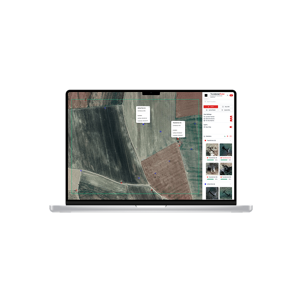
Agricultural Intelligence at Field Scale
Observa combines multi-modal satellite imagery with AI-driven analytics to create a continuously updated view of crop and field conditions. Instead of fragmented observations and delayed reports, teams receive consistent, comparable signals across every field, built for day-to-day decisions and season-long planning
Each dataset is processed through automated models to quantify vegetation dynamics, moisture and water stress indicators, and emerging anomalies. This enables earlier detection of issues, clearer prioritization of where to intervene, and more confident tracking of outcomes over time
Growers and agribusinesses can improve operational efficiency, protect yield potential, and make input decisions with precision across large and complex agricultural footprints.
TECHNOLOGY & IMPACT
Engineered for Insight, Designed for Action
Each dataset is validated, harmonized, and processed through edge-enabled systems that ensure trusted results. Farmers and analysts can easily view temporal changes, evaluate spectral data, and incorporate actionable insights into their agricultural workflows.
Improvement in irrigation efficiency
Early stress detection before symptoms
Crop yield forecasting
USE CASES
Proven Applications
Water or nutrient stress surfaces sooner with Observa, spotting subtle changes before the field shows it so teams intervene early, reduce loss risk, and stabilize yield.
Production outlook is sharpened with Observa, converting time-series crop indicators into early yield estimates that improve planning, pricing decisions, and supply readiness.
APPLICATIONS
Connecting Every Field, Crop, and Farm
By combining multi-spectral imaging with AI-driven analytics, Plan-S helps farmers, agritech companies, and policymakers make informed, timely decisions.
Crop Health & Stress Monitoring
Identify disease or water stress before it becomes visible.
Soil Moisture & Irrigation Mapping
Identify disease or water stress before it becomes visible.
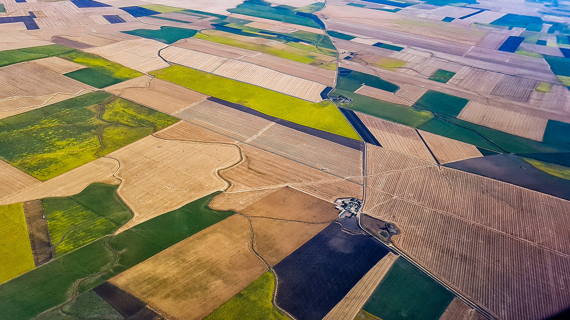
Field Boundary & Crop Type Classification
Automate mapping and crop identification for precision planning.
Deforestation & Land-Use Monitoring
Track environmental impact, illegal clearing, and vegetation change.
GET IN TOUCH
From Orbit, For a Sustainable Harvest
By transforming satellite imagery into agricultural intelligence, Observa empowers farmers, researchers, and organizations to build a more resilient and sustainable food ecosystem.
Get in Touch
Explore More About Agriculture