Monitor Energy Infrastructure Continuously with AI-Driven Satellite Imagery.
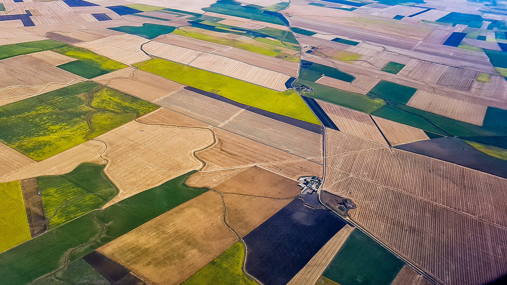
Very High Resolution satellite imagery, combined with AI-driven insight, delivers continuous intelligence into energy infrastructure performance. Each dataset from orbit is processed for supporting predictive maintenance, operational reliability, and safety.
THE CHALLENGE
Reliability Needs Continuous Oversight
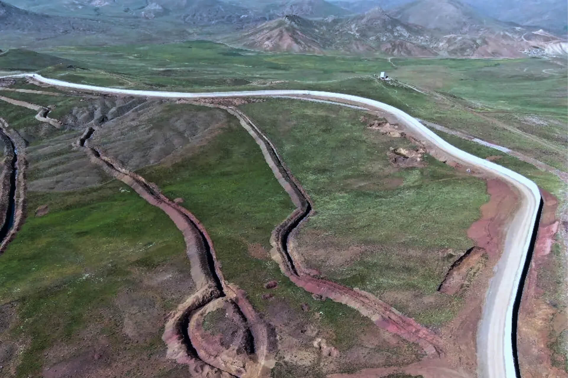
Monitoring infrastructure across vast and often inaccessible environments stretches field resources and leaves blind spots.
In an increasingly interconnected ecosystem, operators need an integrated, satellite-enabled framework that maintains continuous visibility from orbit.To ensure reliability in an increasingly complex and interconnected ecosystem, operators need an integrated, satellite-enabled framework that delivers continuous visibility from orbit.
THE SOLUTION
Turning Satellite Imagery into Energy Intelligence
Plan-S delivers a comprehensive Earth Observation and Remote Sensing capability designed to provide clear, consistent, and decision-ready insights from orbit.
By combining advanced imaging, data processing, and analytical expertise, Plan-S enables continuous visibility over the world’s energy infrastructure, supporting reliability, performance, and sustainability at every scale.
TECHNOLOGY & IMPACT
Engineered for Insight, Designed for Resilience
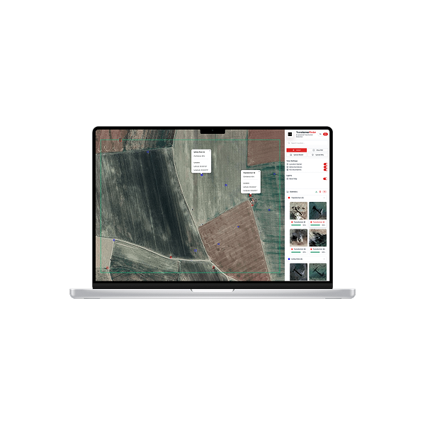
Observa transforms very high-resolution satellite imagery into actionable intelligence for utility operators. Data is processed through AI-driven algorithms that detect change, quantify risk, and surface decision-ready signals. The result is continuous, high-precision visibility that supports proactive monitoring, predictive maintenance, and faster operational decisions across distributed infrastructure.
Predictive maintenance with continuous asset visibility
Faster, data-driven recovery after disruptions
Verified environmental and ESG compliance
Improved efficiency in renewable production planning
USE CASES
Proven Applications
Utility assets become map-ready with Observa, mapping transformer locations and grid features while flagging suspicious usage patterns so utilities can target inspections, curb theft, and improve reliability.
APPLICATIONS
Powering a New Perspective in Energy Management
From asset monitoring to renewable planning, Earth Observation and Remote Sensing solutions provide the clarity and continuity needed to manage energy infrastructure at scale.
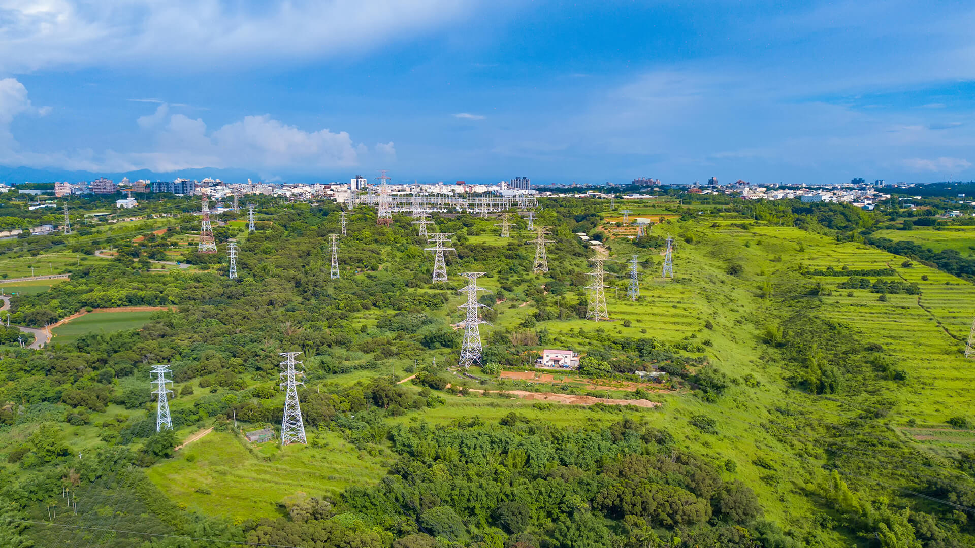
Infrastructure Monitoring
Evaluate post-event conditions with precision imagery to guide rapid restoration and strengthen system resilience.
Infrastructure Monitoring
Evaluate post-event conditions with precision imagery to guide rapid restoration and strengthen system resilience.
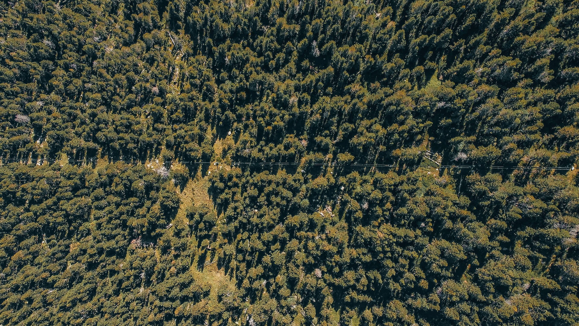
Environmental & ESG Monitoring
Measure land-use change, carbon footprint, and environmental impact to support transparent sustainability and compliance reporting.
Site Selection & Expansion Planning
Inform infrastructure development through terrain assessment, flood-risk evaluation, and change-detection analytics that de-risk new investments.
GET IN TOUCH
From Orbit, For a Sustainable Future of Energy
Observa turns satellite observations into actionable intelligence, enabling confident decisions and making energy operations smarter, more sustainable, and more resilient across the global network.
Get in Touch
Explore More About Energy