Earth’s Changing Landscapes, Seen with Unmatched Clarity
From forest canopies to fragile ecosystems, satellite-based environmental intelligence illuminates every shift, stress, and emerging trend. By combining multi-modal imagery with AI-driven insights, this capability enables governments, and environmental agencies to protect natural resources with greater accuracy, broader scale, and faster response.
THE CHALLENGE
Limited Visibility, Rising Environmental Risk
By the time damage is visible, it’s already advanced
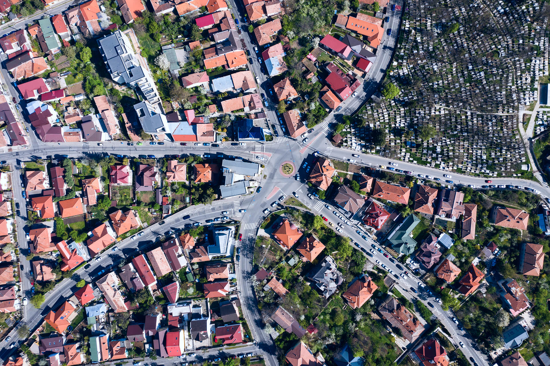
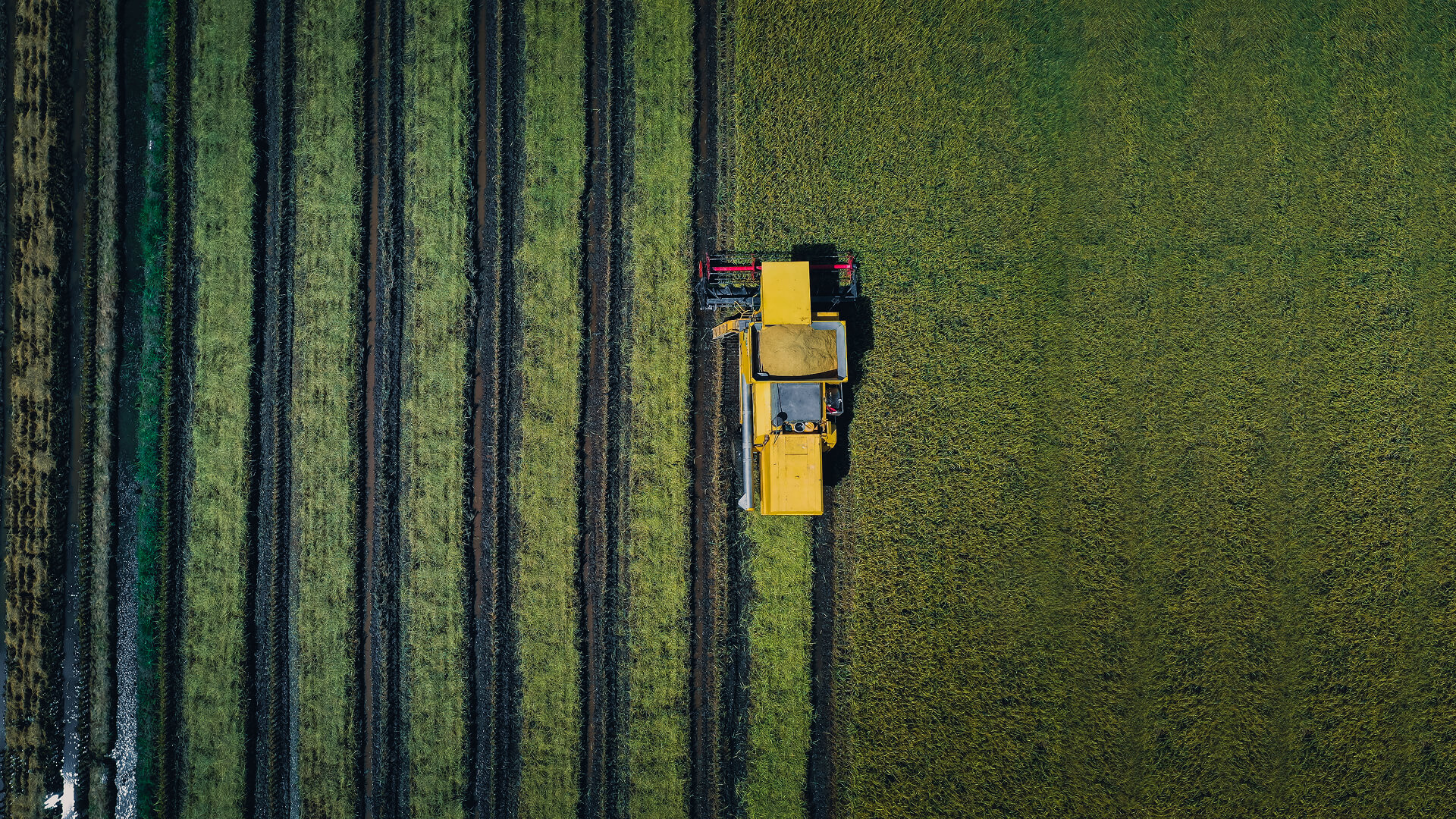
Many environmental impacts don’t trigger immediate alarms: encroachment, illegal logging, shrinking water bodies, and ecosystem stress can expand for weeks or months before they’re noticed. With limited field coverage and disconnected data sources, teams struggle to detect early signals, quantify what changed, and prioritize response. This creates blind spots, slows interventions, and weakens compliance and reporting.
THE SOLUTION
Nature Is Evolving Faster Than It’s Being Monitored
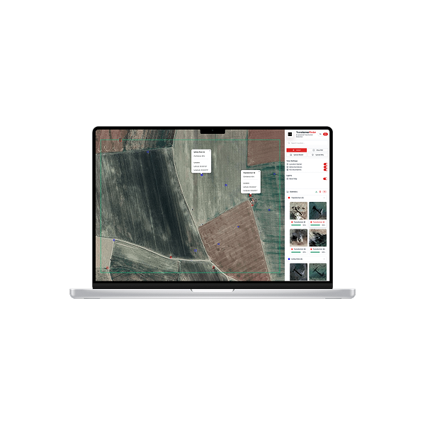
We combine multi-modal satellite imagery high-resolution multispectral, hyperspectral, thermal, and contextual data—into a single, continuously updated view of the environment. AI-driven analytics process each new dataset to detect change early, measure its magnitude, and highlight what matters most.
This intelligence helps teams identify emerging ecosystem stress, track deforestation and encroachment, map land degradation, monitor water-body dynamics, without waiting for slow survey cycles or fragmented reports.
Delivered through a unified tasking, processing, and analysis environment, organizations gain an analysis-ready foundation for conservation, compliance, and long-term planning—across forests, wetlands, coastlines, protected areas, and agricultural frontiers.
TECHNOLOGY & IMPACT
Environmental Clarity, Real-World Action.
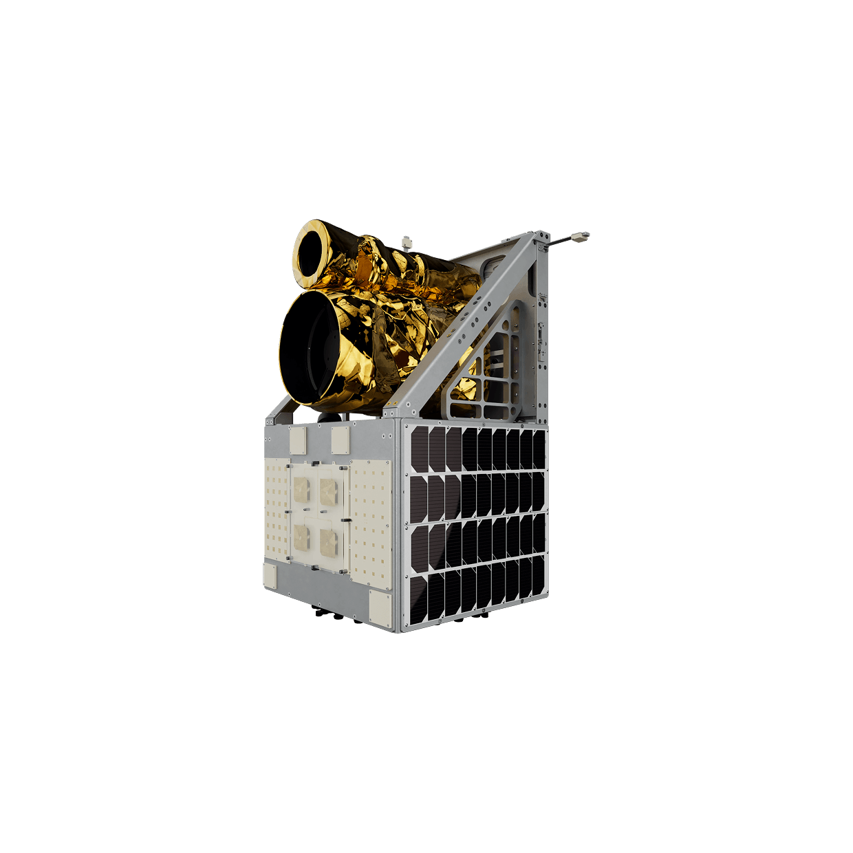
Powered by multi-modal satellite sensors, AI-enabled workflows, and edge-processed imagery, this approach delivers trusted, analysis-ready environmental intelligence at national and ecosystem scale.
All datasets are harmonized and standardized, then routed through automated pipelines that perform segmentation, land-cover classification, temporal comparison, and anomaly screening.
Earlier visibility into ecosystem stress and environmental threats
Earlier visibility into ecosystem stress and environmental threats
Continuous monitoring across vast protected areas and sensitive zones
USE CASES
Proven Applications
APPLICATIONS
Environmental Intelligence That Works at Ecosystem Scale
Multi-modal satellite imaging paired with AI-driven analytics delivers deep insight across forest management, conservation, and climate resilience missions.
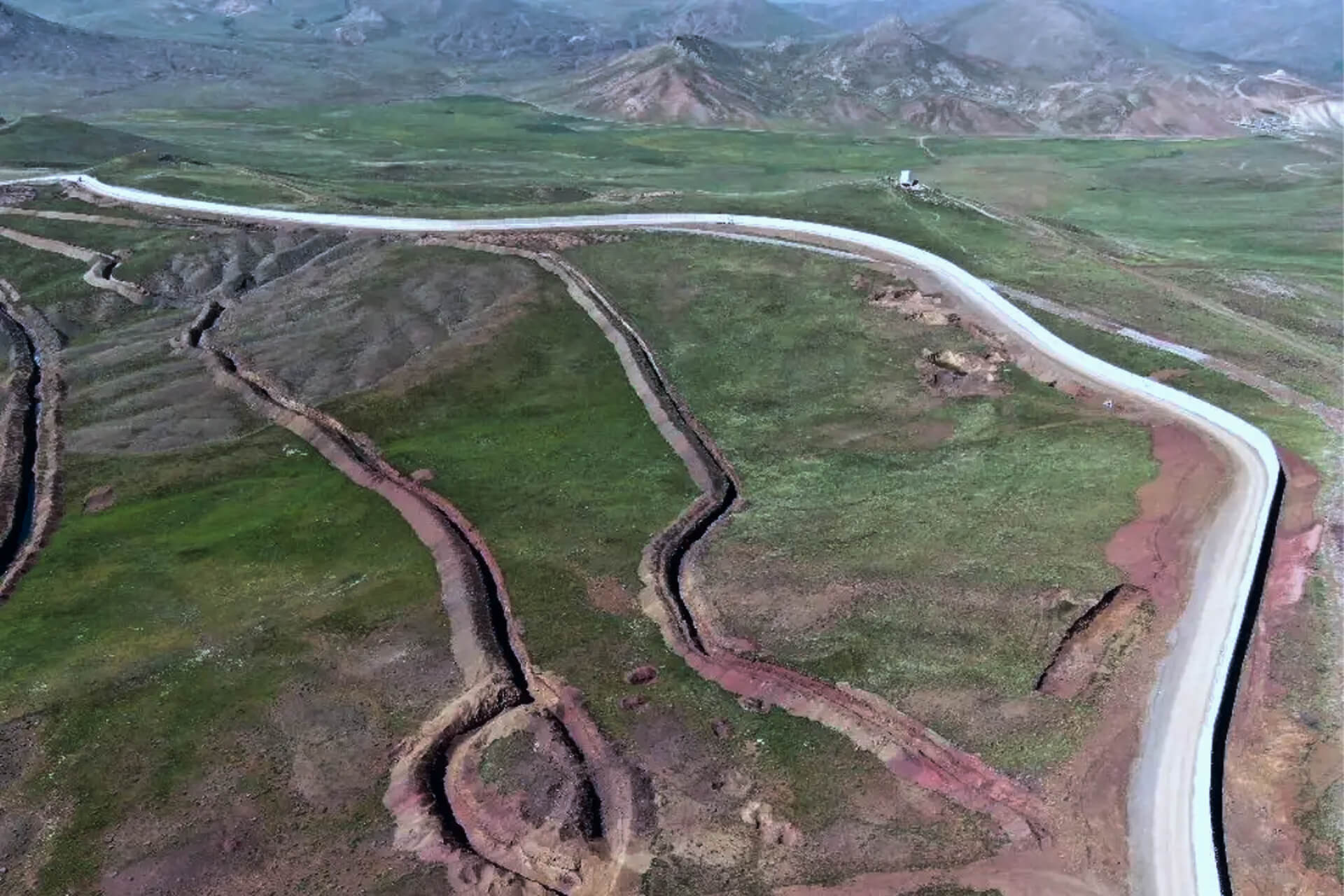
Deforestation & Illegal Activity Detection
Detect unauthorized clearing, mining encroachment, and land-grab activity early using temporal and spectral change analysis.
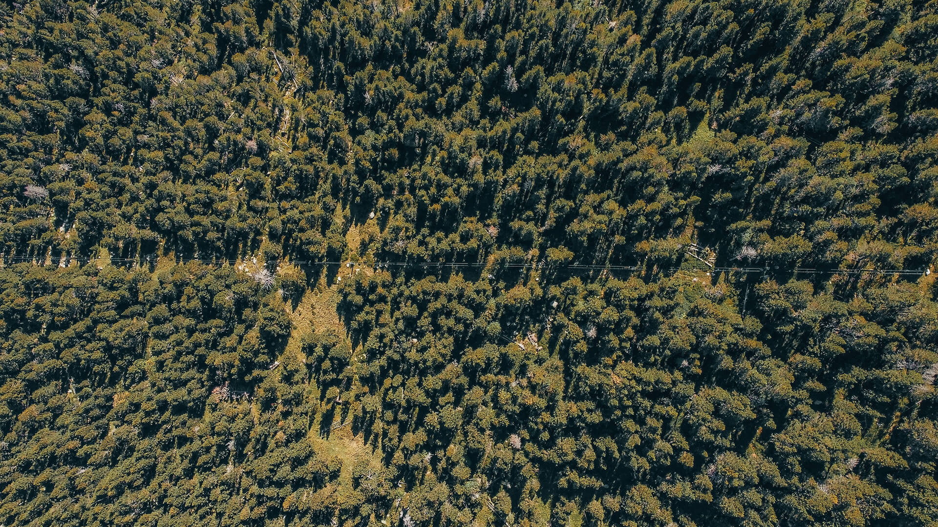
Forest Health & Stress Monitoring
Track canopy vitality, drought impact, pest outbreaks, and disease spread using vegetation indices and thermal anomalies.
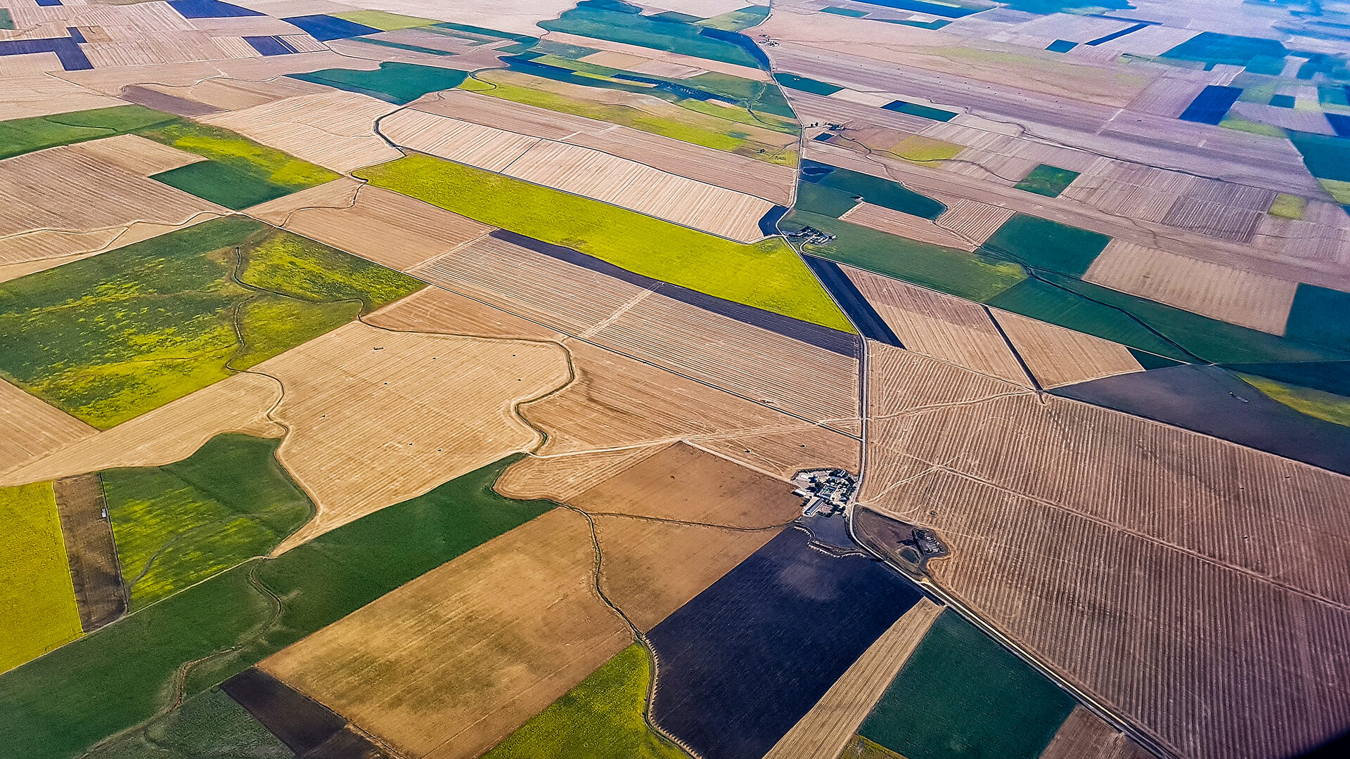
Ecosystem & Biodiversity Mapping
Classify land cover, habitat zones, vegetation types, and wildlife corridors to guide conservation strategies.
Climate & Carbon Intelligence
Monitor biomass change, carbon-stock variations, and degradation patterns to support climate reporting and mitigation programs.
GET IN TOUCH
From Orbit, for a More Sustainable Planet
Observa turns satellite imagery into continuous environmental insight, helping agencies, researchers, and conservation leaders protect ecosystems, strengthen resilience, and accelerate progress toward a healthier planet.
Get in Touch