Intelligence That Moves Transportation Forward
Transportation and logistics networks are moving faster than ever but blind spots continue to increase risk, and safety issues. With frequent and very high resolution SAR and optical imaging, and AI-powered insights, this capability provides the real-world visibility needed to keep goods, fleets, and critical corridors safe.
THE CHALLENGE
When Visibility Fails, the Entire Network Slows Down
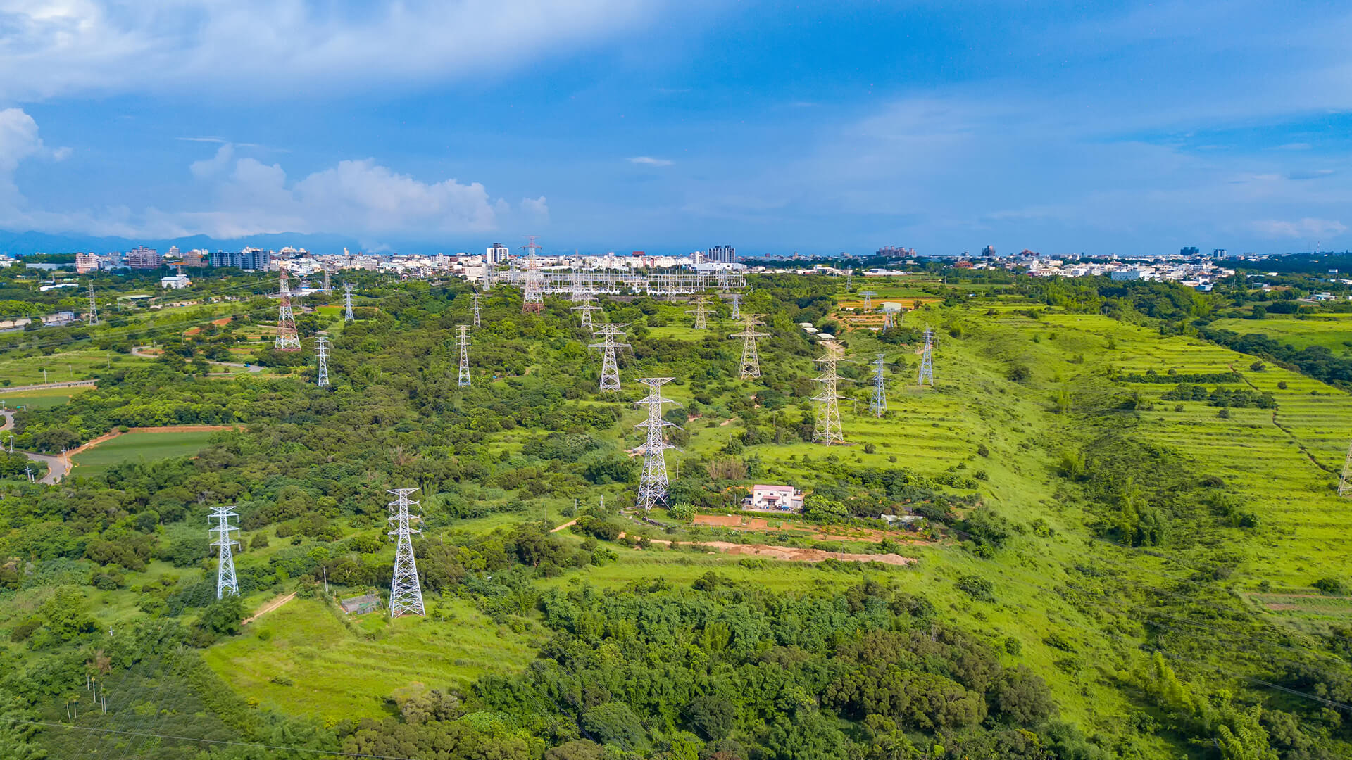
Global supply chains depend on routes and assets that span cities, borders, and difficult terrain, yet many operators still rely on fragmented reports and outdated surveys, creating costly blind spots.
Road degradation, rail deformation, bottlenecks, unauthorized activity, and environmental disruptions often emerge long before they’re visible in the field. With rising traffic, climate volatility, and infrastructure strain, traditional monitoring simply can’t keep pace.
Transportation and logistics leaders need a scalable, always-updated view that reveals what’s happening across every route, terminal, and corridor, continuously, not only when inspections occur.
THE SOLUTION
Where Transport Moves, Intelligence Follows
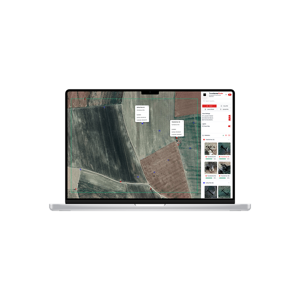
Transportation and logistics networks are too large and dynamic to manage with intermittent, ground-only visibility. Observa built on SAR as the primary data layer and reinforced with optical imagery, enables consistent, scalable monitoring across routes, terminals, railways, and other critical nodes.
AI-driven analytics are applied across every dataset to surface operational signals such as change detection, activity tracking, anomaly identification, and risk prioritization. Rather than manually reviewing imagery, teams receive actionable intelligence that supports planning, performance monitoring, disruption response, and compliance, turning space data into measurable operational advantage.
TECHNOLOGY & IMPACT
Turning Multi-Modal Data Into Operational Advantage
Transportation and logistics networks span vast road and rail systems, terminals, yards, and distribution hubs that evolve day by day. Observa brings these assets into a single operational picture, combining satellite imagery with AI-driven intelligence to convert raw data into clear, prioritized signals.
By automatically detecting meaningful changes and flagging where attention is needed, inspections, maintenance, and field resources can be directed to the areas of highest impact, reducing unnecessary effort and improving planning. The result is stronger day-to-day assurance across routes and hubs, with safer operations, higher uptime, and more reliable service delivery.
Continuous, corridor-wide visibility
Faster response to environmental and infrastructure disruptions
Optimized maintenance and resource allocation
Greater safety and reliability across road, rail, and logistics hubs
USE CASES
Proven Applications
APPLICATIONS
Operational Intelligence for Roads, Rails & Logistics Corridors
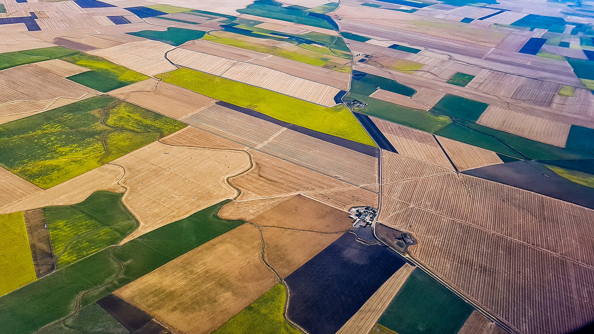
Through the fusion of optical, spectral, thermal, and temporal datasets, a complete intelligence layer is created to support diverse transportation and logistics workflows.
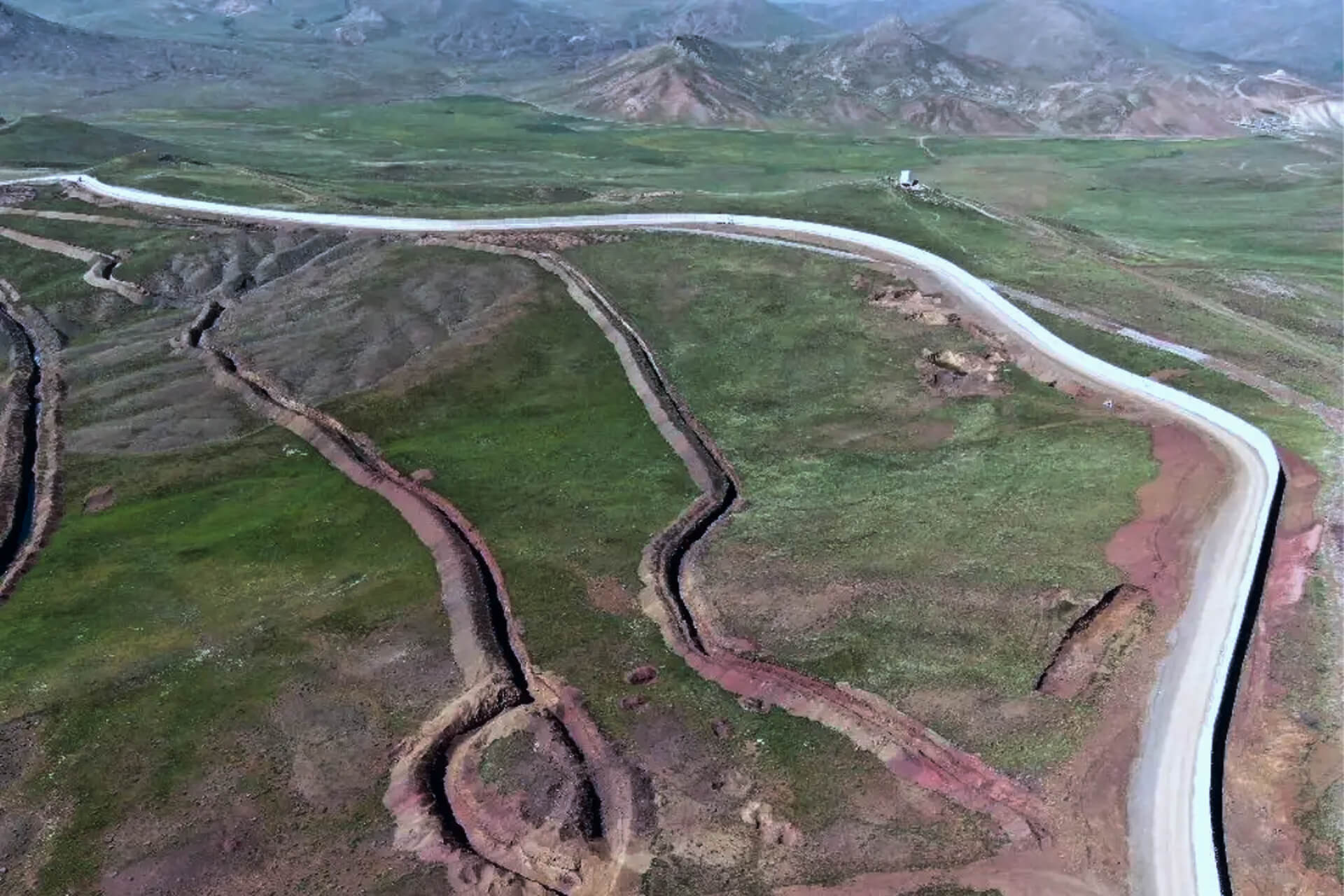
Route Condition & Degradation Monitoring
Detect cracks, subsidence, blockages, and surface wear early, optimizing maintenance and reducing unplanned closures.
Railway Corridor Intelligence
Identify deformation, vegetation encroachment, asset shifts, and track-side activity to enhance rail safety and reliability.
Traffic Flow & Bottleneck Analysis
Track congestion patterns, mobility trends, and corridor demand through frequent imaging and change analytics.
Port, Terminal & Yard Monitoring
Monitor container density, yard utilization, construction progress, and unauthorized activity at logistics hubs.
GET IN TOUCH
From Orbit, for Stronger, Smarter Transport Networks
By transforming satellite imagery into actionable transportation intelligence, Observa empowers operators to keep goods moving, strengthen route reliability, and build logistics systems ready for the future.
Get in Touch