A Clearer View of Cities in Motion
Cities are expanding, densifying, and transforming faster than traditional monitoring can keep pace. With multi-modal satellite imaging and AI-powered analytics, this capability provides the clarity urban leaders need to guide sustainable growth, manage infrastructure, and track change at the speed cities evolve.
THE CHALLENGE
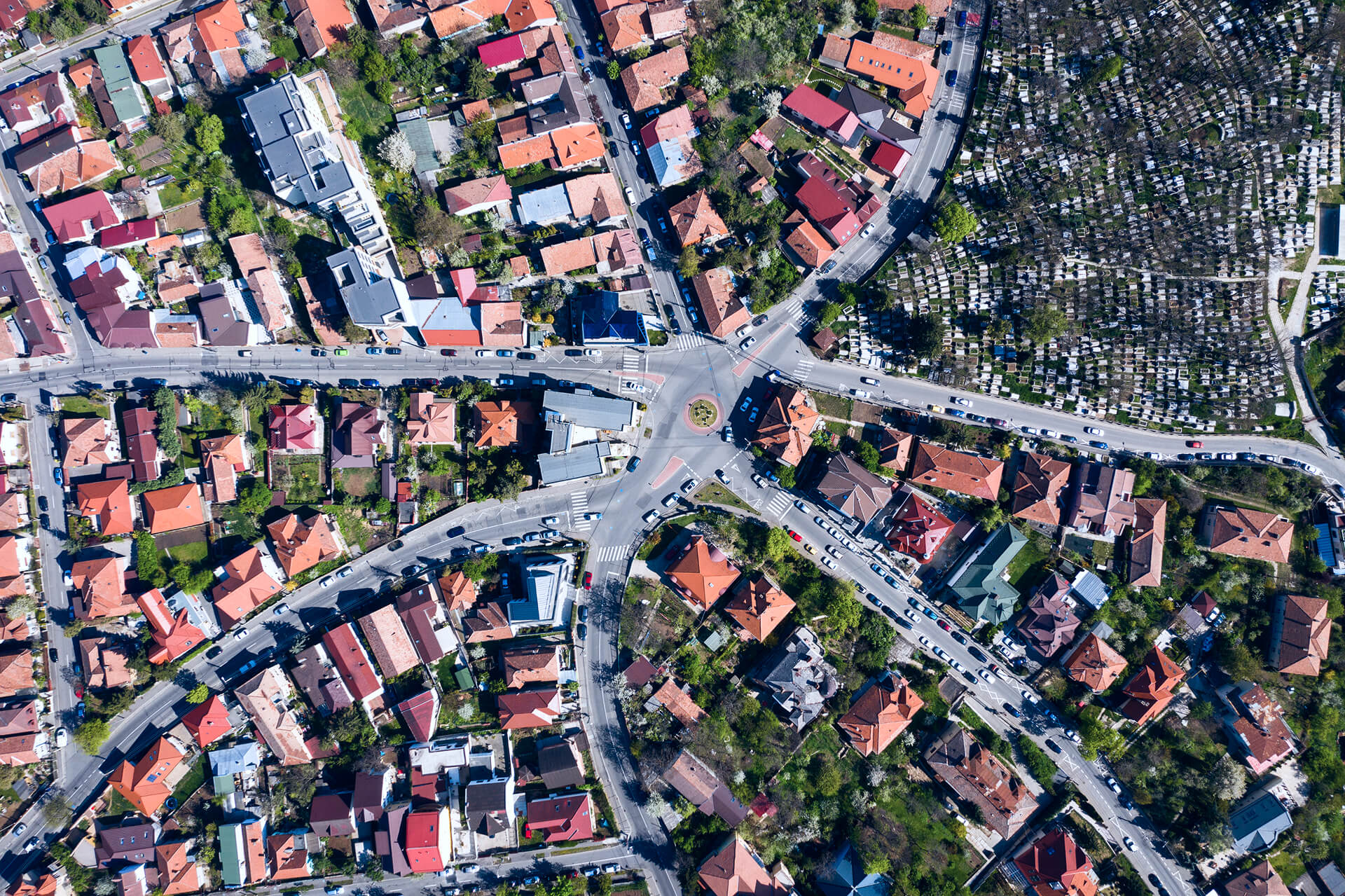
Urban Complexity Is Rising. Clarity Isn’t.
Urban expansion, densification, informal development, and climate driven pressures are reshaping cities at unprecedented speed.
Yet monitoring this change still relies on outdated surveys, fragmented datasets, and inspection cycles that lag months behind reality.
Unauthorized construction, land-use change, heat-island intensification, and growing infrastructure stress often surface quietly, until they become costly, high impact problems. Cities need a scalable, always-on way to see growth as it happens, not long after the fact.
THE SOLUTION
Urban Intelligence That Keeps Pace With Change
Combined with high resolution satellite imagery with AI enabled insights to create a living view of urban growth and land use dynamics. Instead of waiting for delayed surveys or manual inspection cycles, teams receive consistent intelligence that tracks change as it emerges.
Each new dataset is processed through automated models for building footprint updates, land use classification, densification detection, and anomaly screening. This makes it easier to identify unauthorized construction, measure infrastructure pressure, and monitor heat island expansion with clear evidence and repeatable metrics.Delivered through Observa, planning, compliance, and resilience efforts across fast growing cities and regions are traceble.
TECHNOLOGY & IMPACT
Engineered for Urban Insight, Built for City-Scale Impact
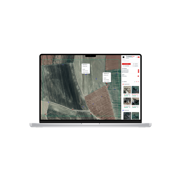
Observa standardizes satellite imagery into a consistent, analysis ready foundation for city level monitoring. AI driven pipelines convert each new capture into mapped outputs that are comparable over time, so teams can track growth patterns with confidence and reduce reliance on slow, manual verification.
The result is faster visibility into where the city is changing, how land use is shifting, and which zones require attention. This supports stronger planning decisions, clearer compliance workflows, and measurable resilience tracking across districts, corridors, and metropolitan regions.
Faster regulatory & planning decisions
Continuous visibility over fast changing districts
City scale monitoring across large areas
USE CASES
Proven Applications
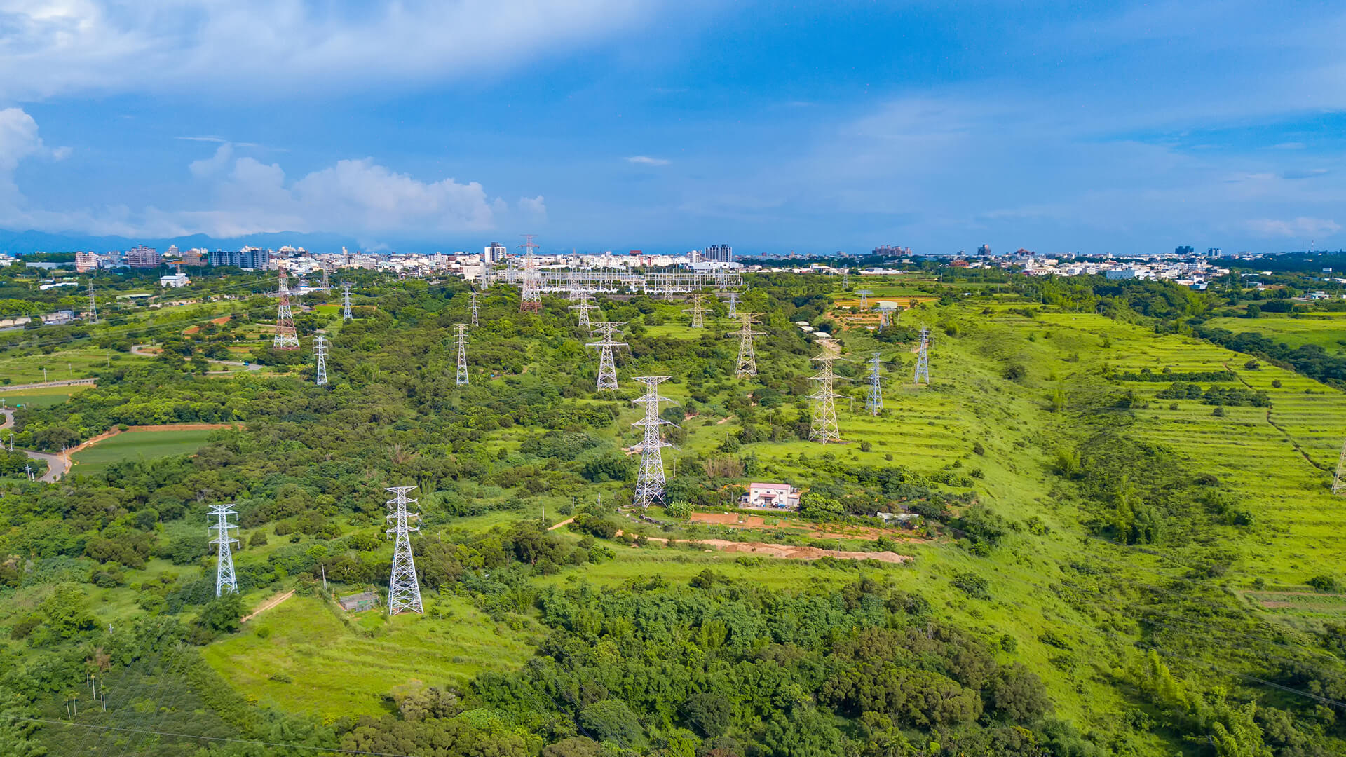
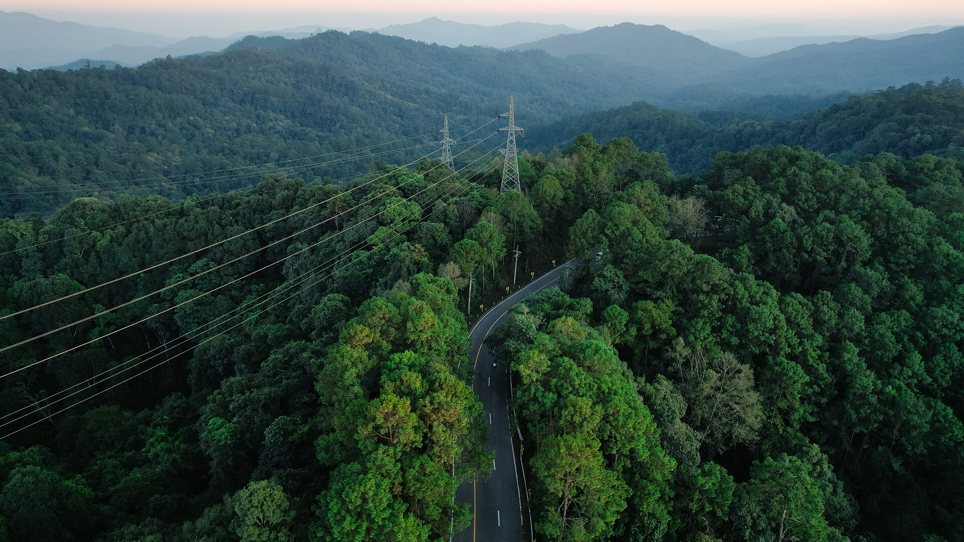
Utility assets become map-ready with Observa, mapping transformer locations and grid features while flagging suspicious usage patterns so utilities can target inspections, curb theft, and improve reliability.
APPLICATIONS
Urban Insight That Scales With the City
By combining optical clarity, spectral analytics, and temporal change detection, this capability delivers insight across the full spectrum of urban growth and transformation.
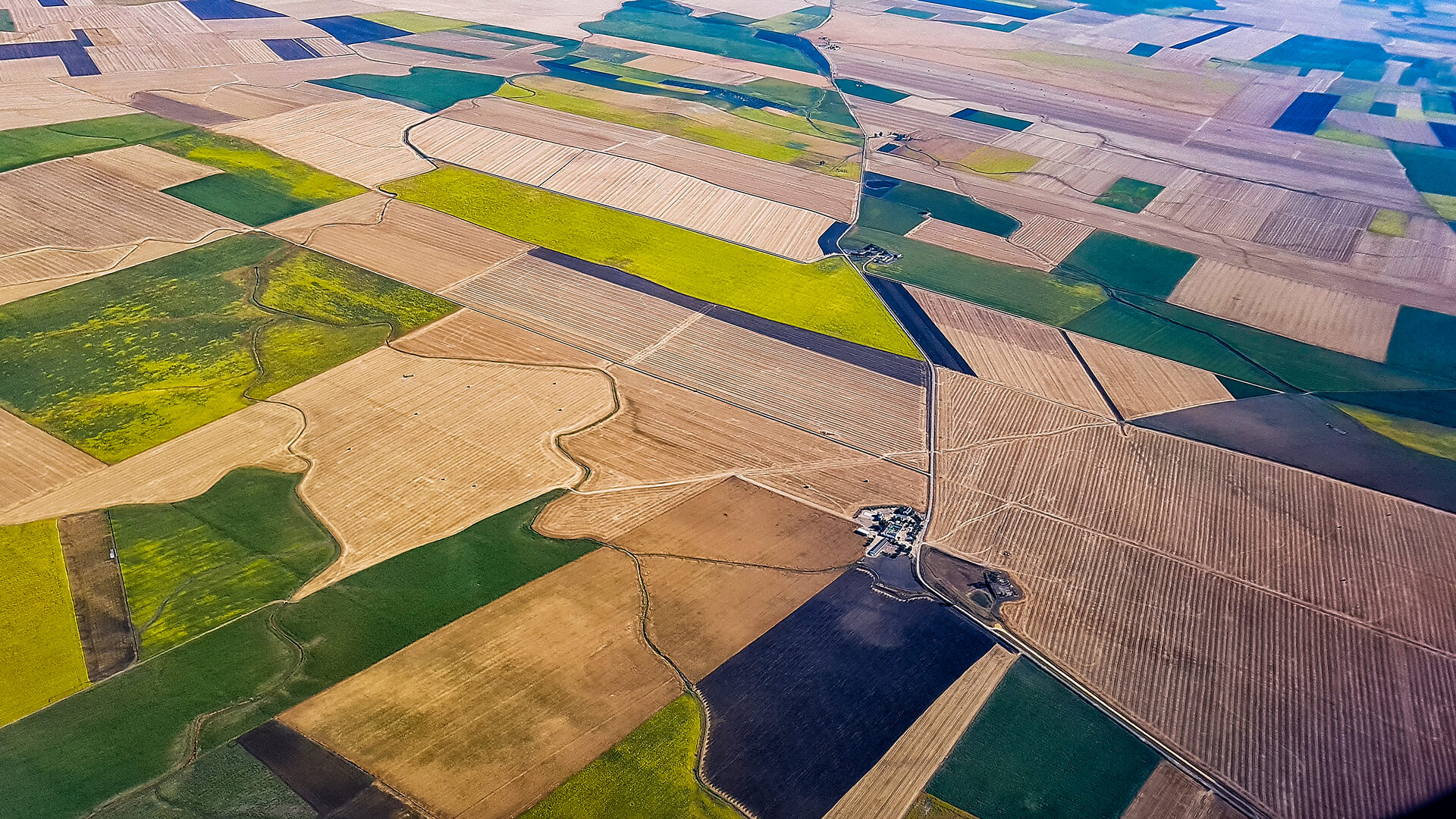
Urban Growth & Expansion Mapping
Spot new construction, informal development, zoning shifts, and sprawl patterns early to support proactive land-use decisions.
Infrastructure Load & Development Monitoring
Track construction intensity, densification trends, and corridor load to manage mobility, public services, and infrastructure demand.
Land-Use & Zoning Classification
Use multispectral analysis and AI-driven segmentation to classify residential, industrial, commercial, and mixed-use areas at scale.
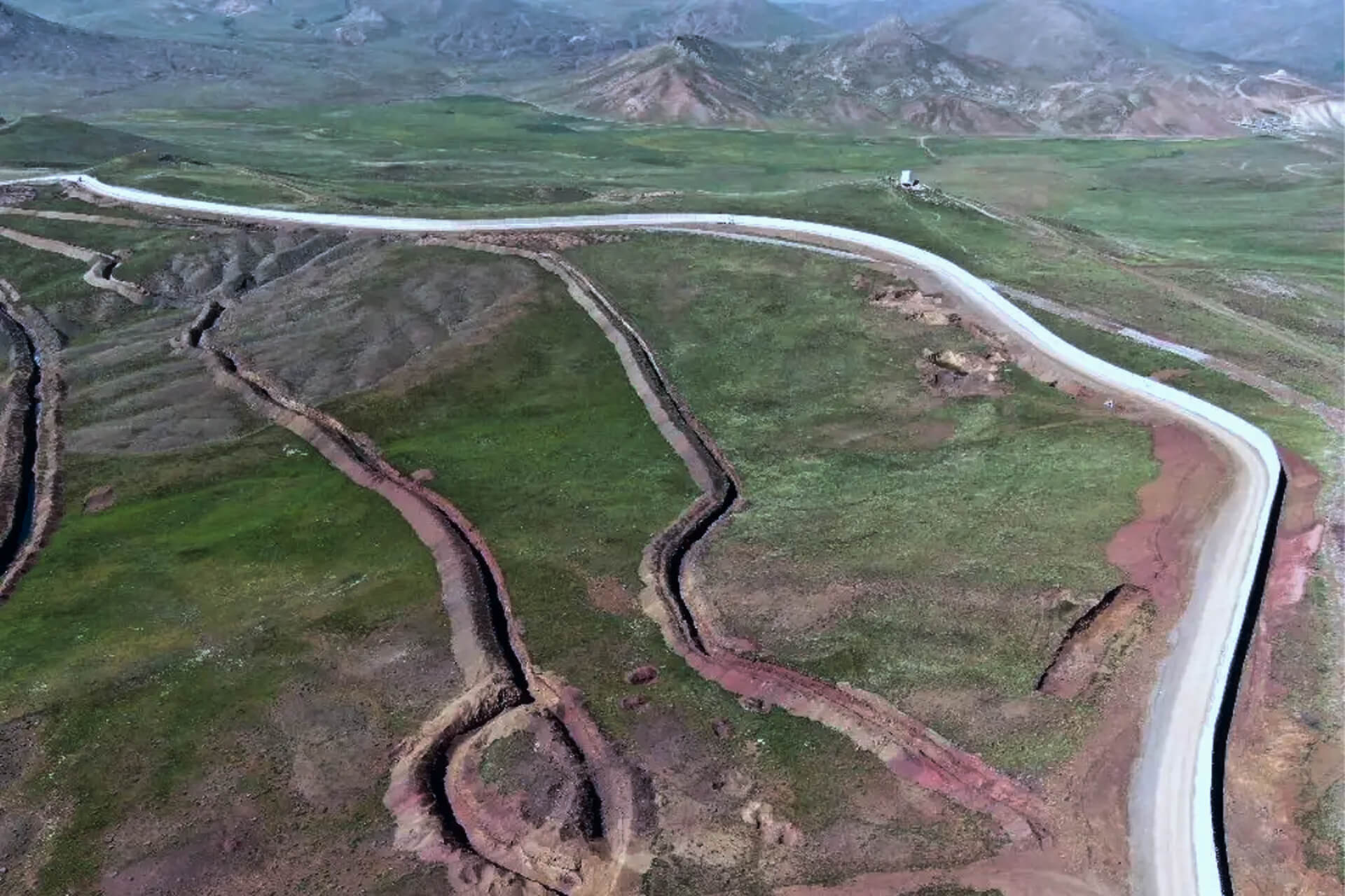
Coastal & Urban-Edge Monitoring
Monitor shoreline change, seasonal flooding risks, and peri-urban expansion to support resilient growth strategies.
GET IN TOUCH
From Orbit, for Smarter, More Resilient Cities
By turning satellite imagery into dynamic urban intelligence, Observa helps planners, developers, and city leaders guide growth that is sustainable, resilient, and responsive to rapid change.
Get in Touch