See Every Asset. Prevent Every Disruption.
Earth-observation insights from orbit give utilities uninterrupted visibility across transmission corridors, substations, and critical infrastructure, enabling smarter vegetation management, stronger asset health monitoring, and more confident network planning.
THE CHALLENGE
When Infrastructure Grows Faster Than Visibility
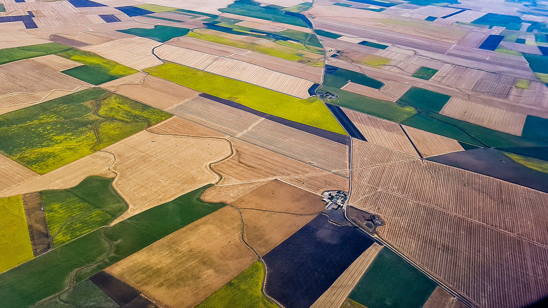
Aging grids, extreme weather, and rising demand are placing growing pressure on transmission and distribution networks.
Yet many utilities still depend on manual patrols, and helicopter flights to understand conditions across thousands of kilometers of lines and access roads.
Vegetation encroachment, land movement, and third-party activity can develop into outages, wildfires, or safety incidents long before they’re visible in the field. At the same time, regulatory expectations demand continuous, auditable oversight. Utilities need a scalable way to monitor their networks, continuously, not asset by asset.
THE SOLUTION
A Space-Based Intelligence Layer for Utilities
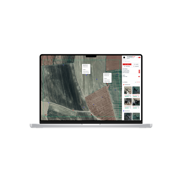
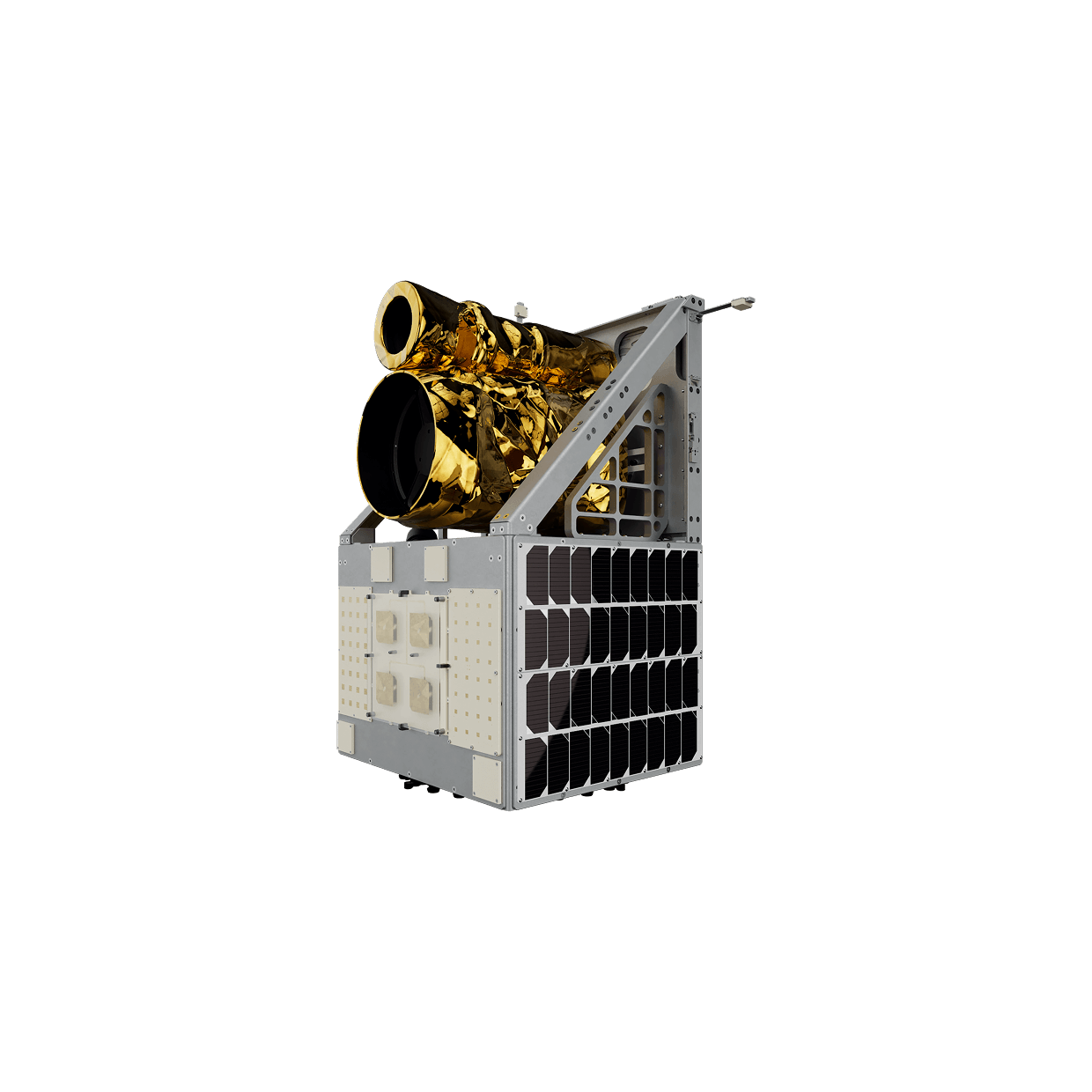
Satellite imagery and advanced analytics combine to create a persistent intelligence layer for utility networks. High-resolution optical and SAR imagery deliver detailed views of corridors and assets; mission-management systems coordinate tasking, data flow, and operational workflows; and analytics modules convert this information into actionable insight on vegetation risk, asset condition, and environmental change.
Across long-distance transmission corridors and dense distribution networks, utilities gain a unified, near-continuous view of lines, substations, and surrounding terrain, enabling more precise crew allocation, fewer unplanned outages, and more resilient, data-driven operations.
TECHNOLOGY & IMPACT
Engineered for Grid Insight, Designed for Field Action
Datasets from proprietary and partner satellites are standardized, validated, and processed through an AI-enabled pipeline. Tasking, storage, and workflows are centrally managed, while analytic modules perform detection, segmentation, change analysis, and anomaly screening, with outputs delivered via dashboards, alerts, or system integrations.
Consistent Corridor Visibility Across Entire Networks
Faster, Clearer Response to Extreme Events
Stronger Compliance and Reporting
USE CASES
Proven Applications
APPLICATIONS
Turning Multi-Modal Imagery into Utility Insights
By combining optical, multispectral, thermal, and external or contextual datasets with AI-driven analytics, utilities can shift from periodic inspections to continuous, portfolio wide oversight.
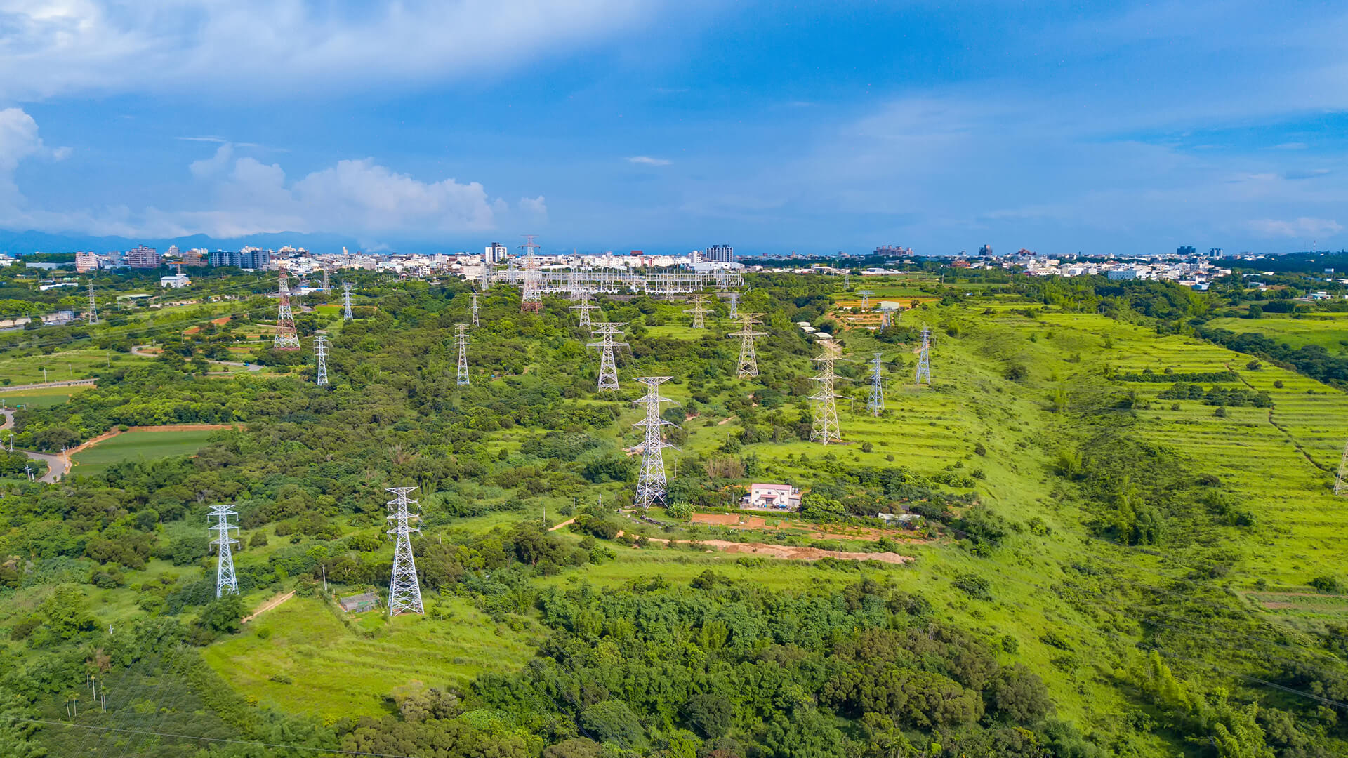
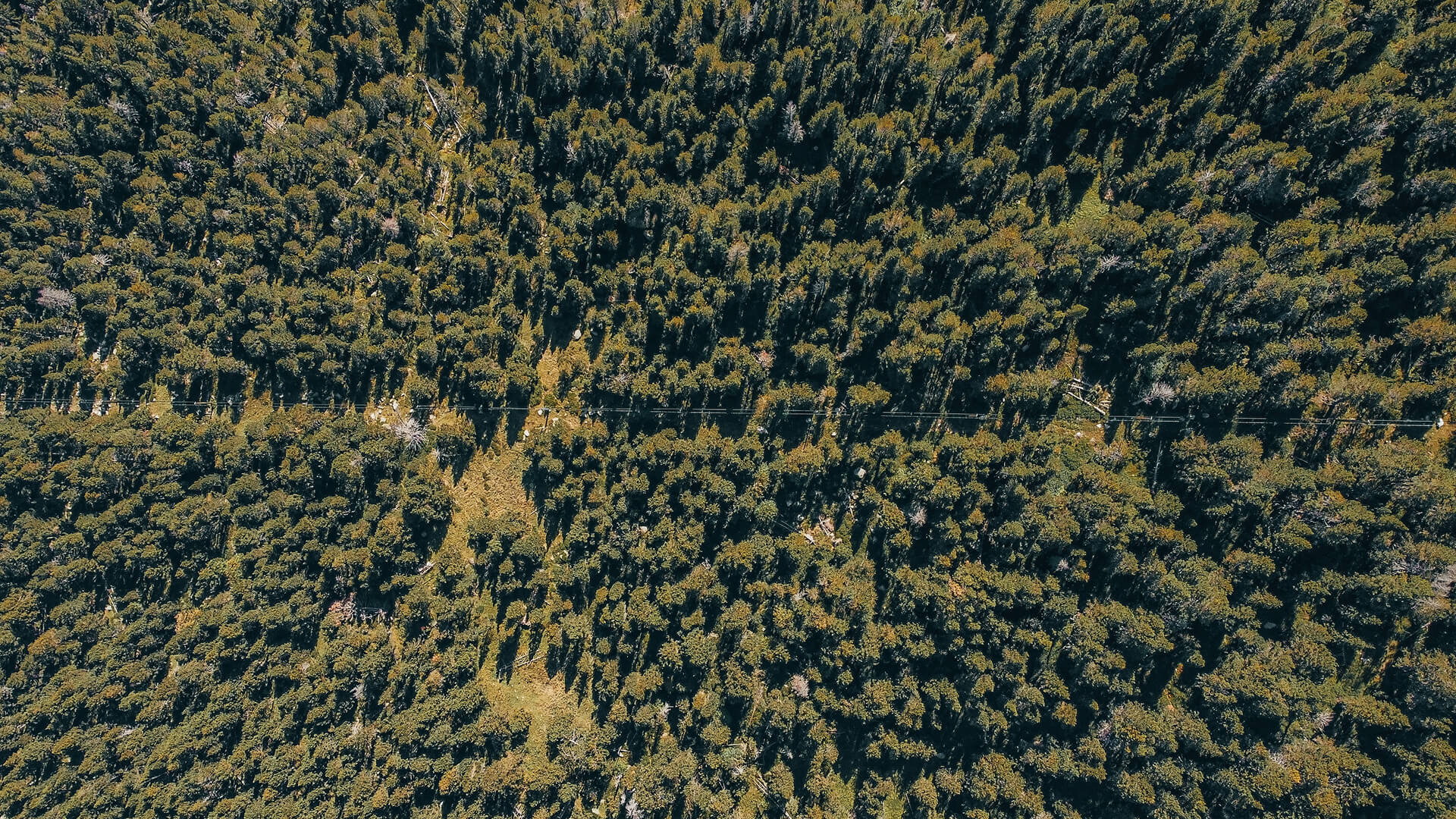
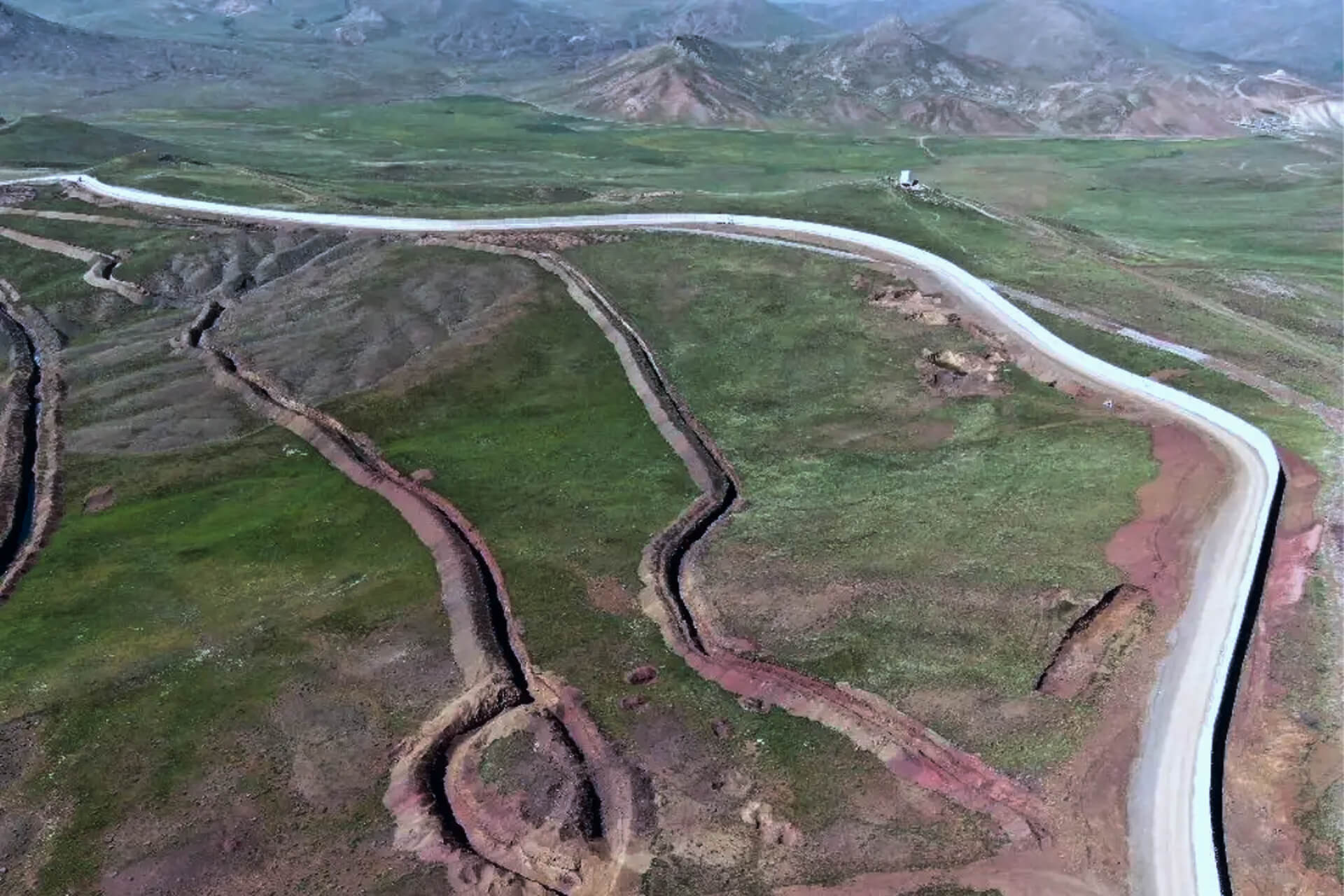
Vegetation & Corridor Risk Management
Track infrastructure, crossings, and shoreline activity to distinguish routine movement from emerging routes or unusual concentrations.
Asset Inventory & Condition Visibility
Maintain an updated view of towers, poles, and substations, using imagery to flag structural changes or potential damage.
Grid Reliability & Outage Forensics
Identify storm, wildfire, or flood impacts by comparing pre- and post-event imagery to locate damaged spans and priority areas.
Network Planning & Expansion
Analyze terrain, land cover, and constraints to support route selection, right-of-way optimization, and grid expansion.
GET IN TOUCH
From Orbit, For a More Resilient Grid
By converting satellite imagery into continuous, trusted intelligence, this capability helps energy and utility operators build safer, more resilient networks and make faster, more informed decisions.
Get in Touch