When Coverage Ends, Tracking Continues
Maintain continuous vehicle visibility across changing connectivity conditions. When terrestrial coverage drops, the system automatically transitions to the Connecta IoT Network to keep location reporting alive, even in total GSM blackout zones.
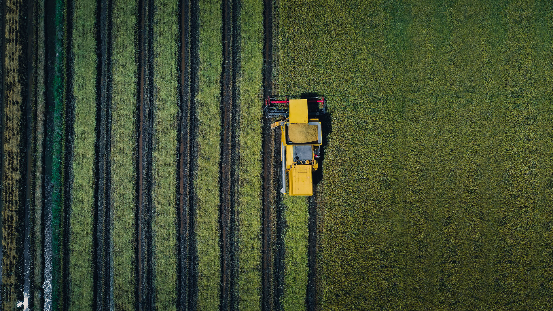
Built for fleets that move beyond infrastructure: Remote routes, mountainous terrain, and coverage-fragmented operations.
THE PROBLEM
Where Traditional Tracking Breaks
Tracking systems are only as reliable as the networks they depend on. When vehicles move into remote terrain or infrastructure disappears, visibility breaks, right when operational risk is highest.
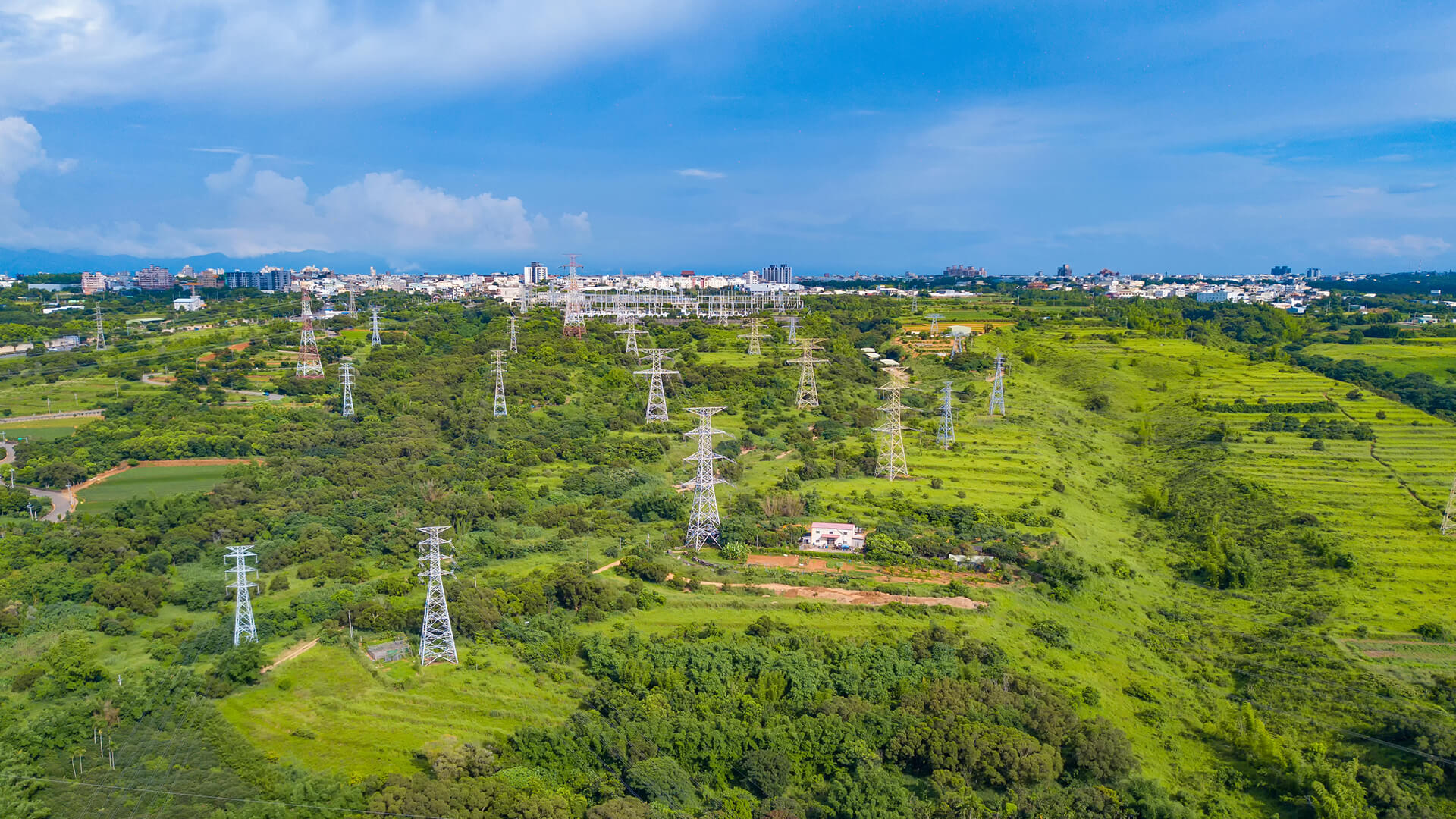
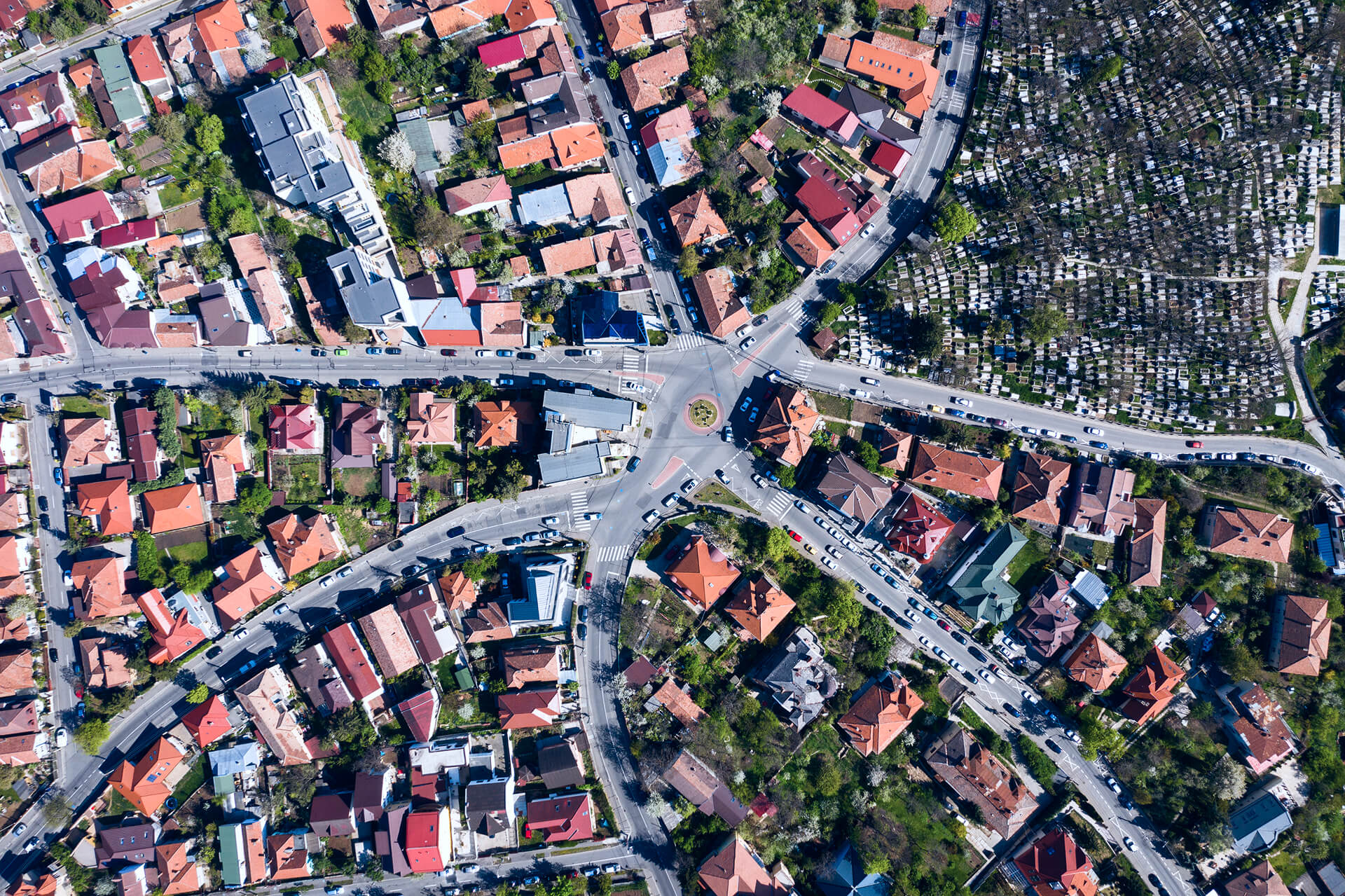
Coverage Blind Spots
Terrestrial dead zones turn routes into blackouts, delaying response and eroding situational awareness
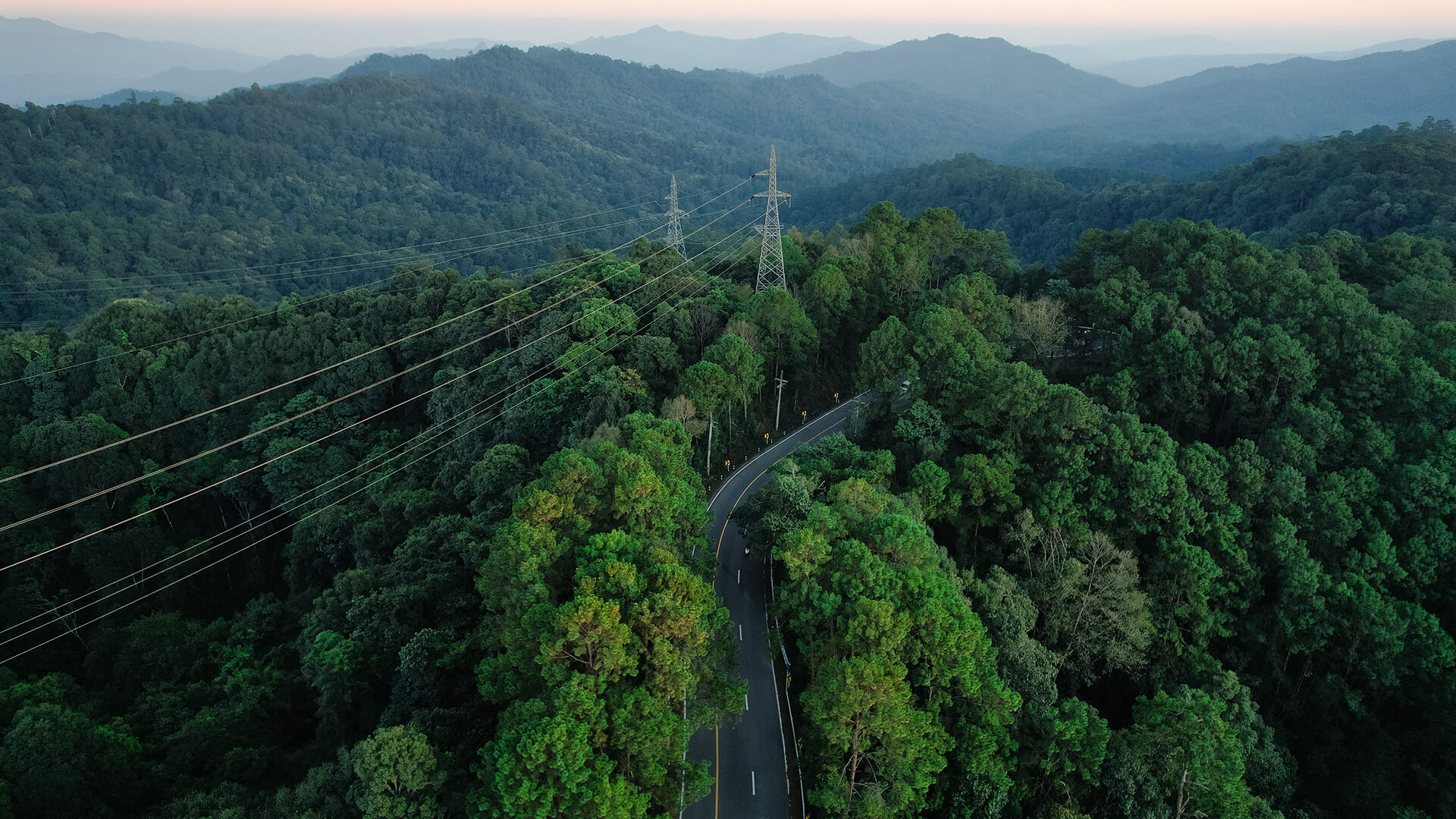
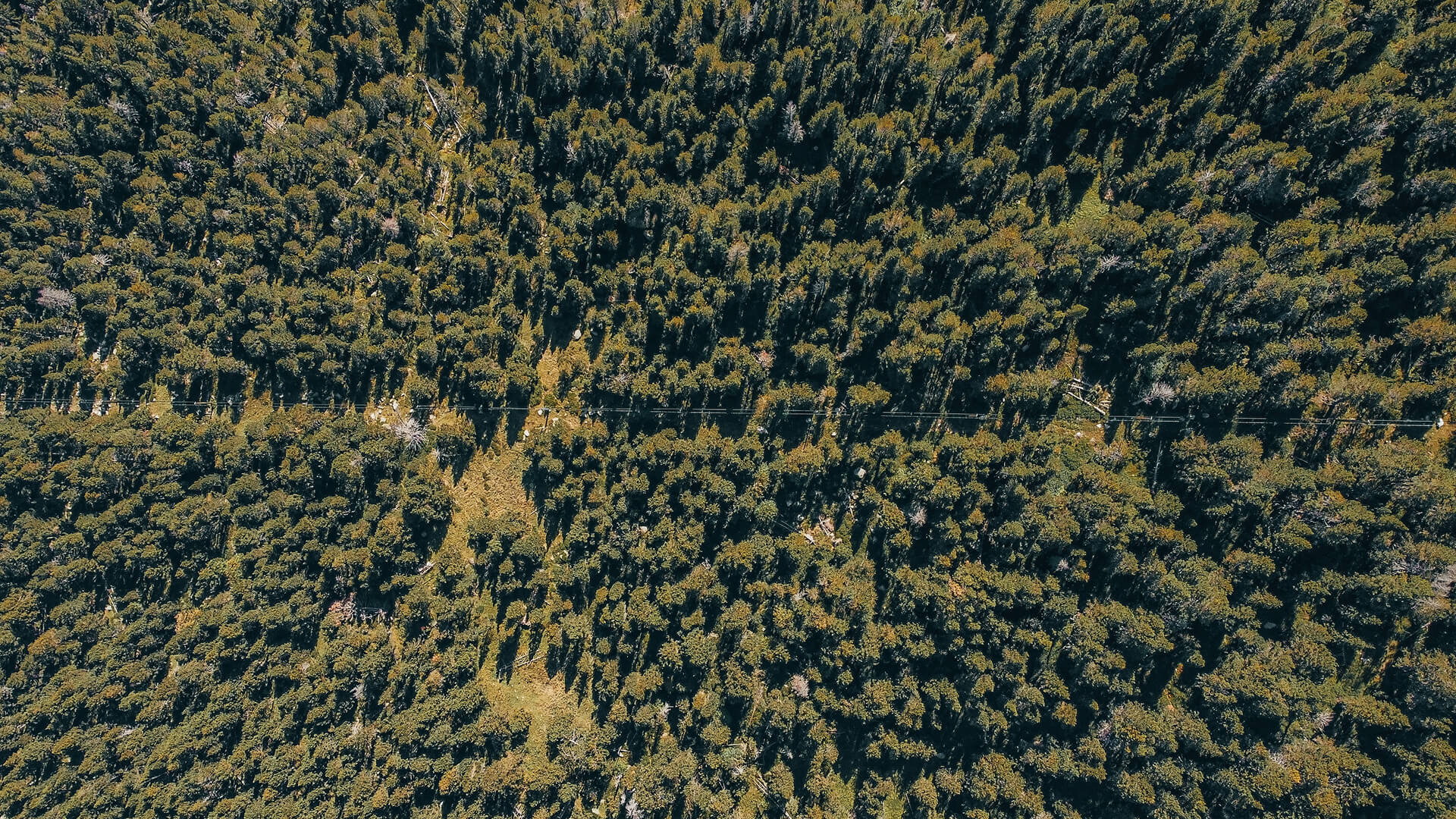
Remote Terrain Reality
Mountainous regions and off-road operations can eliminate terrestrial connectivity for extended periods.
False Sense of Control
A tracker that performs well in cities may fail in the exact conditions’ fleets need it most.
Delayed Incident Response
Without timely location updates, dispatch, recovery, and safety decisions become reactive.
Weak Audit Trail
Data gaps make it harder to prove where assets were, when events happened, and what changed on the route.
VALUE AT A GLANCE
Operational Continuity
Maintain continuous vehicle location awareness even when routes pass through remote terrain or infrastructure-free regions.
THE SOLUTIONS
Architecture for Coverage Independence
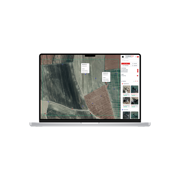
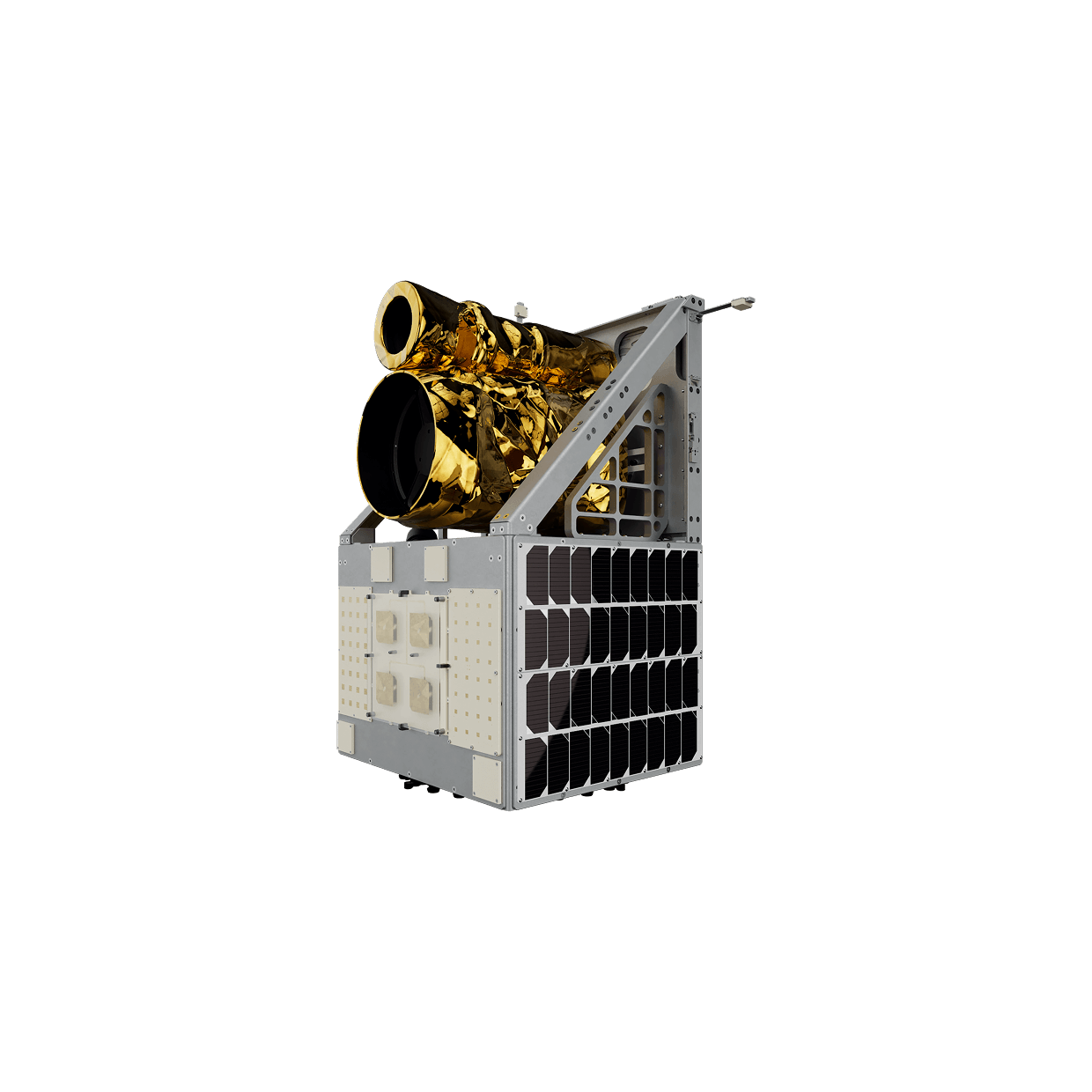
Connecta IoT Networks enables continuous vehicle tracking by combining a field-ready tracker with resilient satellite connectivity. Location data is captured consistently, transmitted on a planned cadence, and delivered in a format that operations teams can act on, especially in areas where terrestrial networks cannot be trusted.
Install and configure
A vehicle is equipped with the Connecta Satellite Tracker and set to a defined reporting policy.
Capture location consistently
GNSS location is logged at regular intervals to create a reliable track history.
Transmit via the right path
In hybrid deployments, the system uses terrestrial connectivity where available and automatically switches to the Connecta IoT Network when coverage is lost.
Deliver usable data
Location records are forwarded through satellite passes and made available for monitoring and reporting.
THE SOLUTIONS
The Operational Impact
Eliminate Coverage-Driven Blind Spots
Maintain tracking continuity in mountainous routes and GSM blackout zones where conventional systems fail.
Strengthen Response and Recovery
Keep location intelligence available for dispatch decisions, incident response, and asset recovery without waiting for the vehicle to return to coverage.
Create Auditable Movement Trail
Produce consistent, time-stamped records that support compliance, claims, and investigation workflows.
Reduce Operational Friction
Minimize manual check-ins and workaround processes by relying on a predictable, automated reporting flow.
GET IN TOUCH
When Coverage Ends Visibility Continues
Build vehicle visibility beyond coverage assumptions, Connecta combines continuous GNSS logging with satellite data to keep fleet tracking predictable and auditable, even when operations move outside cellular reach and into total terrestrial blackout zones.