Offshore Visibility, Delivered by Orbit.
Connecta enables reliable, satellite-based asset and vessel tracking across open seas and remote corridors by combining compact field hardware with the Connecta IoT Network and a single operational view.
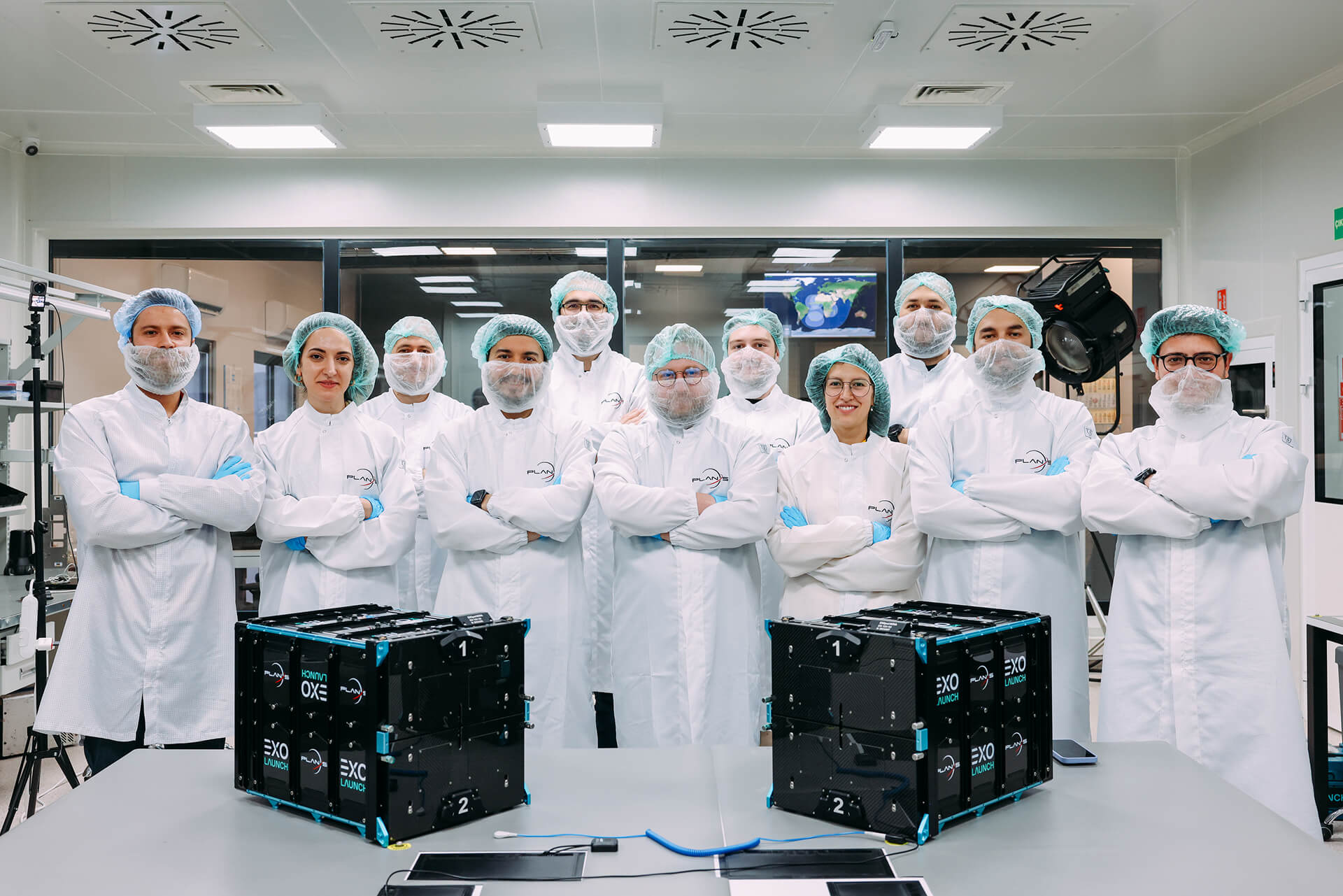
Proven in real maritime operations with the METU Institute of Marine Sciences aboard the research vessel R/V Bilim-2, delivering continuous position data throughout voyages in the Mediterranean, Aegean, Marmara, and Black Seas.
THE PROBLEM
Remote Routes. Missing Data.
Tracking assets on the move, especially at sea and beyond terrestrial coverage remains a persistent operational blind spot.
Terrestrial dependent tracking breaks in offshore routes and remote corridors, creating data gaps when visibility matters most.
Intermittent location history delays response to drift, unplanned stops, and security risks.
Manual reporting adds workload and reduces confidence in mission logs and operational records.
Scientific and industrial missions lose continuity for advanced data collection when connectivity becomes unreliable.
VALUE AT A GLANCE
From Tracking to Actionable Oversight
Position data can remain available across offshore routes where terrestrial coverage is unavailable.
THE SOLUTIONS
Coverage-Independent Tracking Architecture
Connecta provides an end-to-end tracking pathway, device to orbit to operations, built for coverage-challenged environments, including open seas.
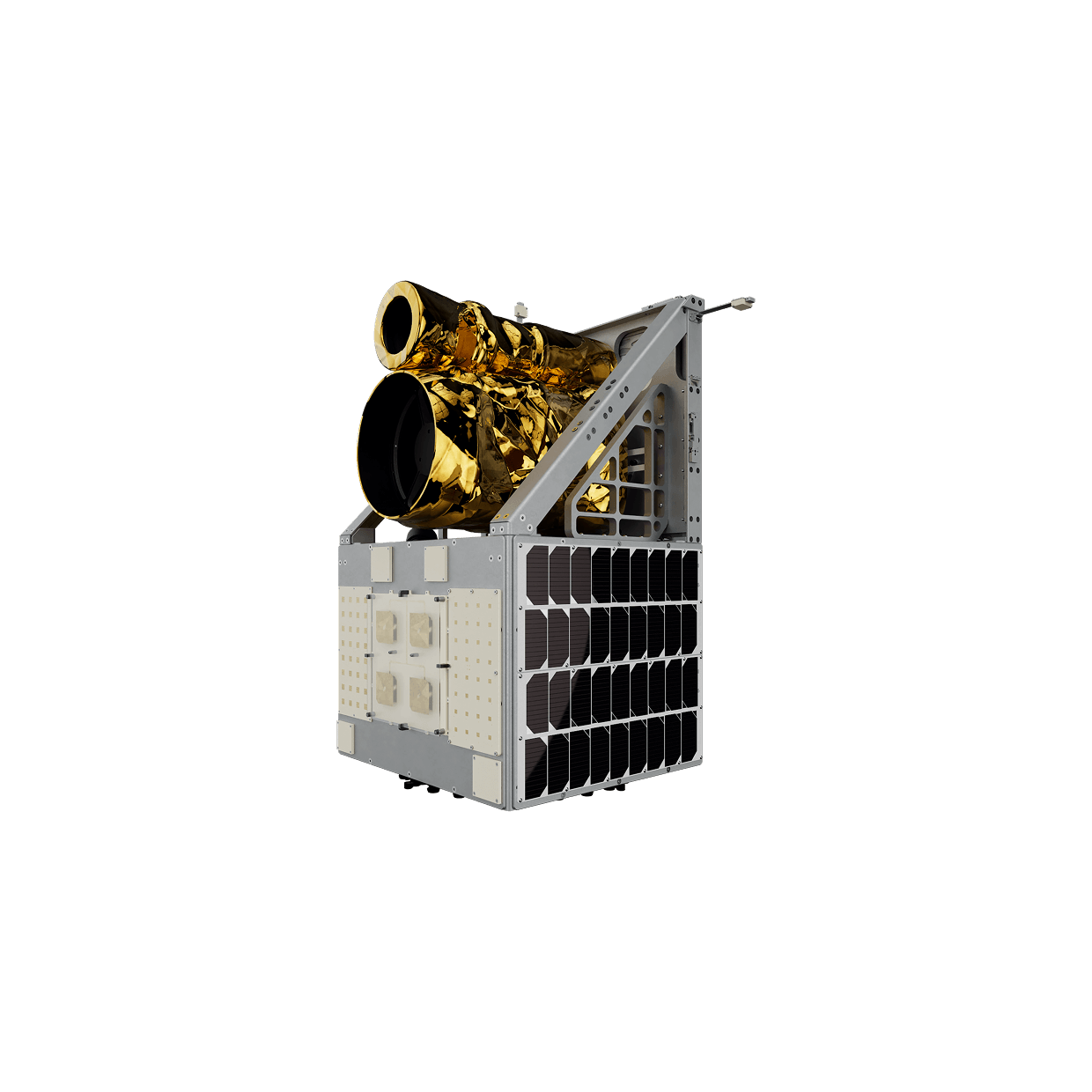
Install in Minutes
Connecta IoT Tracker Lite on the vessel or asset with a compact, field-ready setup designed for mobile operations.
Capture Position Continuously
The tracker collects location data throughout the route, maintaining a consistent operational record across changing environments.
Transmit Beyond Terrestrial Network
Position updates are sent via Connecta IoT Network satellites, keeping tracking active where terrestrial coverage drops.
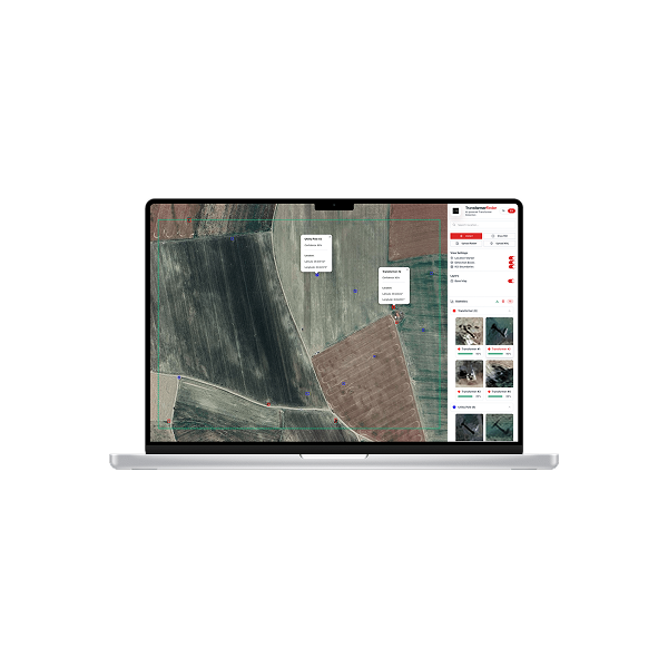
Centralize Visibility
Tracking data is delivered into a single monitoring view for live follow-up, mission logging, and operational coordination.
Scale from One Asset to Fleet
Apply the same workflow across multiple vessels or high-value assets with standardized device onboarding and data flows.
THE SOLUTIONS
The Operational Impact
Coverage Gaps
Maintain visibility offshore and in remote corridors, reducing uncertainty when assets leave terrestrial networks.
Stronger Mission Traceability
Build an auditable position history that improves reporting, post-mission analysis, and operational accountability.
Enables Advanced Maritime Data Programs
Support scientific and industrial operations beyond terrestrial network coverage, paving the way for richer oceanographic and remote monitoring workflows.
GET IN TOUCH
Track Beyond Shore Operate with Confidence
When operations move beyond terrestrial coverage, tracking cannot be optional. Connecta delivers consistent satellite-based asset and vessel visibility offshore, validated in real maritime research operations and built to scale for broader tracking programs.