Satellite-Based Communication Support for Combating Natural Disasters
Satellite-based IoT communication systems enable work to minimize the negative impacts of natural disasters, coordinate team efforts, and ensure the public is correctly informed.
April 30, 2025
5 minute reading
#CONNECTA
#EARLY ALERT SYSTEM
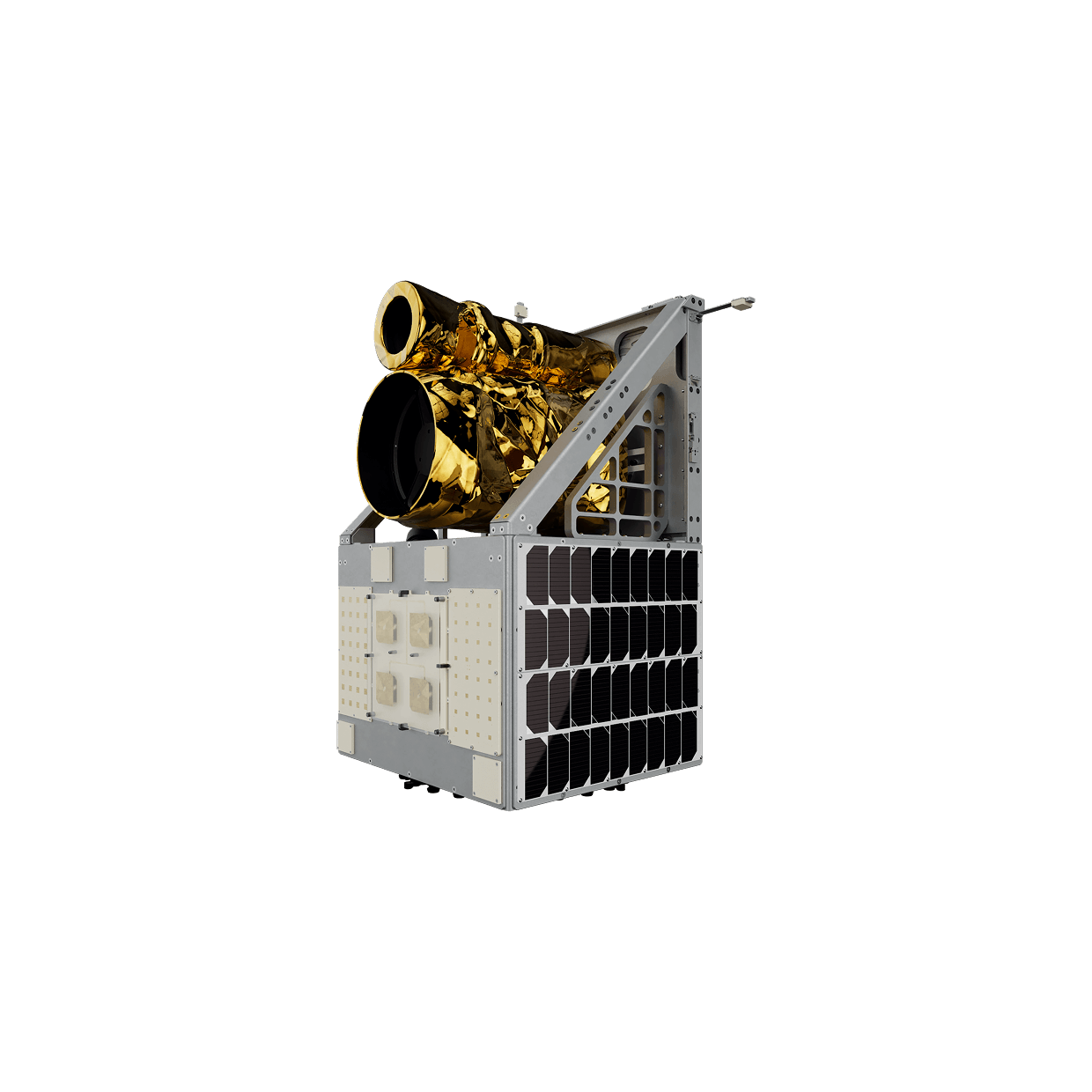
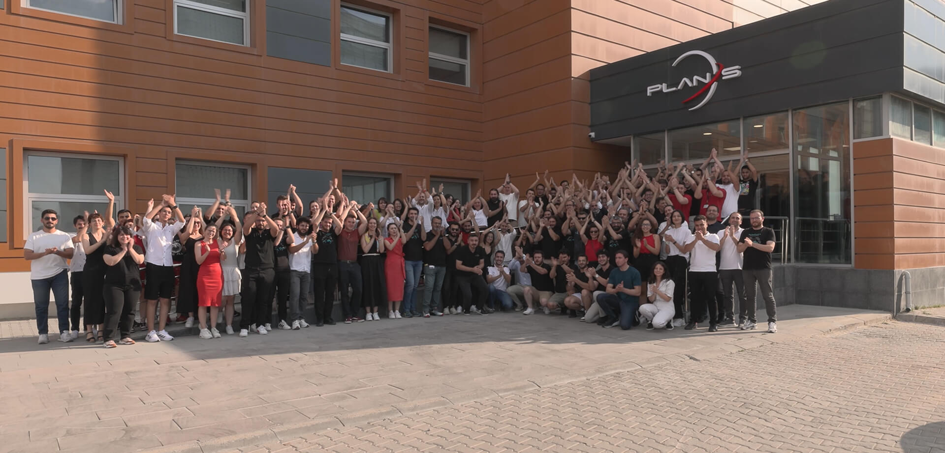
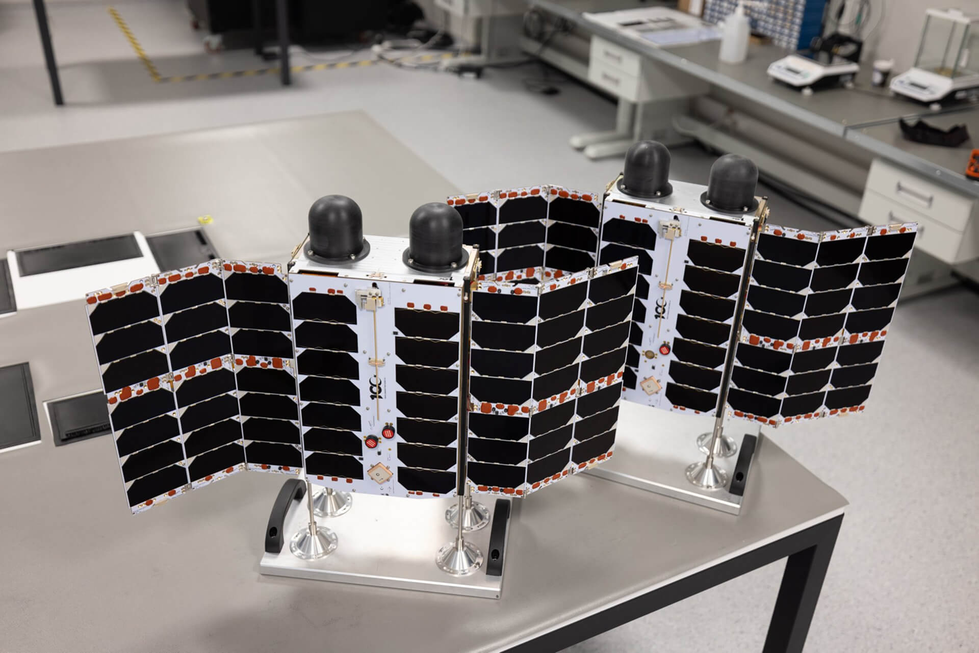
Plan-S, noted as “the fastest-growing space company in the country,” offers solutions for the effective use of critical infrastructure with its Connecta IoT Network constellation. Starting its work in 2021, Plan-S quickly became a key player in the field of global satellite-based IoT communication services with its 13 satellites.
The company’s Chief Executive Officer (CEO) and Board Member, Özdemir Gümüşay, shared assessments with an AA correspondent regarding the company’s satellite communication capabilities and the roles they can undertake in natural disasters like earthquakes.
Noting that Plan-S was founded in 2021, Gümüşay stated that after R&D, productization, and commercialization processes, they are now able to provide a communication network for IoT devices both within the country and worldwide with 13 active satellites in orbit.
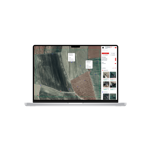
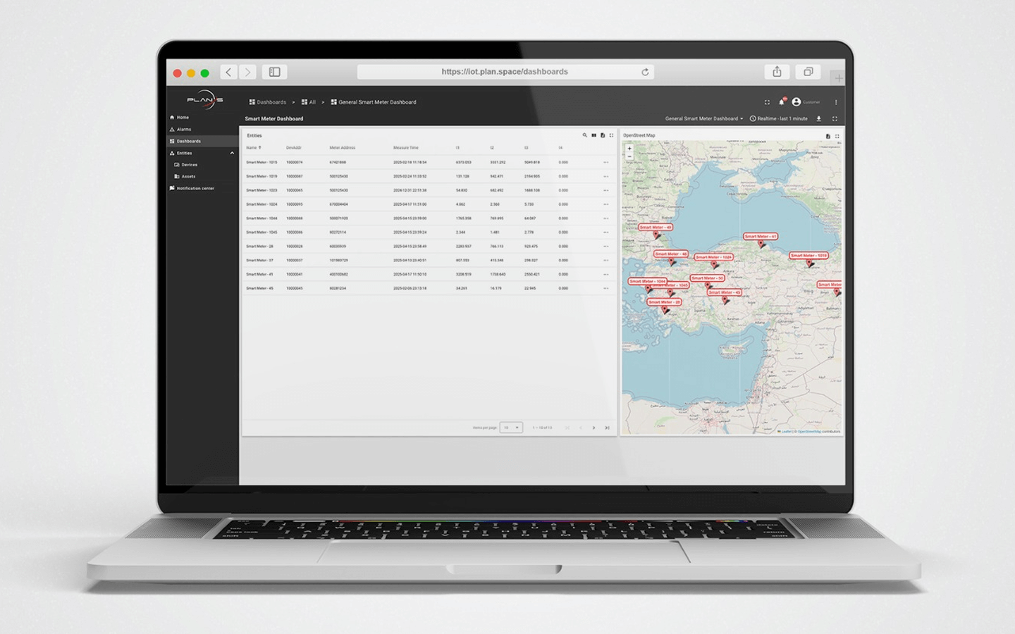
Explaining that with their system called “Connecta IoT Network,” they offer a satellite solution based on communication with sensors deployed in the field that measure a series of parameters like temperature, Gümüşay said, “Our satellites are in near-Earth orbit, at an altitude of 550 kilometres. We are talking not about a single satellite but a constellation. We will have over 100 satellites. We are increasing the number of satellites every 4 months. In this way, we are in a process where we gradually increase our service quality.”
What can be done in a disaster situation?
Pointing out that terrestrial infrastructure can be damaged in natural disasters, Gümüşay noted that base stations can become unusable during earthquakes or floods.
Gümüşay stated: “Satellite systems are naturally in space, so they are not affected by natural disasters, adverse weather conditions, or adversities on land or sea. In this sense, our services are highly reliable systems.
What can we do with IoT communication in a disaster? We can contribute to the collection of disaster-related data from the field.
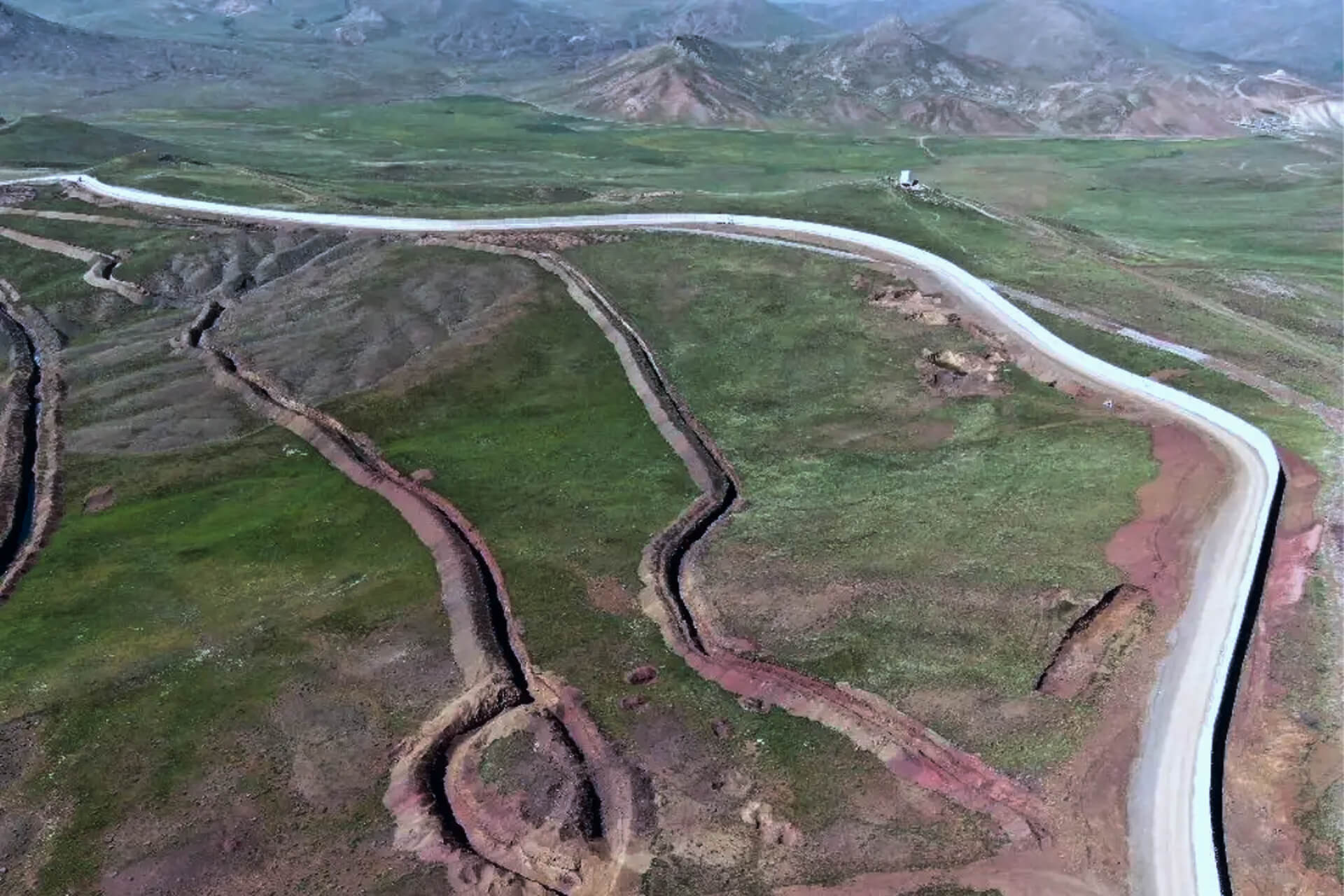
That is, in areas without terrestrial networks or base stations, we can install thousands, tens of thousands of sensors and collect their data via our satellite services to become aware of the disaster beforehand. There could be data related to floods, certain ground movements, or earthquakes; we can provide significant contributions in the initial stages with these. The first hours after a disaster are crucial because you need to assess the situation. We can install sensors to determine what happened where, what kind of damage occurred, for example, in an earthquake, whether critical buildings, roads, viaducts, or civil defence team buildings are still standing, and by carrying this data via our satellite systems, we can present a very fast and accurate picture to decision-makers within hours. This will enable intervention in the right place at the right time.”
Gümüşay expressed that they can also offer solutions for the period when the effects of the disaster are being mitigated and responded to, adding, “We can provide infrastructure for reporting the location of AFAD personnel or military units and their equipment status. Thus, we can enable intervention in the right way at the right time.”
Messaging to Cell Phones via Satellite
Gümüşay said that as Plan-S, they closely follow technology and current agendas.
Emphasizing that they act with the motto of “improving life on Earth,” Gümüşay stated that helping people in disaster situations is part of this.
Explaining that alongside projects to create situational awareness, they have also been working on individual communication for about a year, Gümüşay noted the following:
“We all have a cell phone in our pocket. We are conducting studies for communication via satellite technologies using these devices. Our aim is not to enable video streaming in such a natural disaster situation, but the sending of emergency messages, short messages. As is known, in such situations, the public can be misled by rumors. We are working on technologies that will enable people to be correctly guided and informed by transmitting messages to cell phones via satellites.
This is a significant topic that is also on the world’s agenda. Our country has to deal with natural disasters more frequently; we have the reality of earthquakes. In that sense, its importance for our nation is even greater. In this context, we are trying to do our part as the private sector and making the necessary initiatives on the government side. We are discussing these issues with mobile operators in the country. We are trying to gain their support and encourage them to take initiative. I hope that in the coming years, we plan to design satellites related to this topic, send them to orbit, and, God forbid, activate them to provide benefit if such disasters occur.”
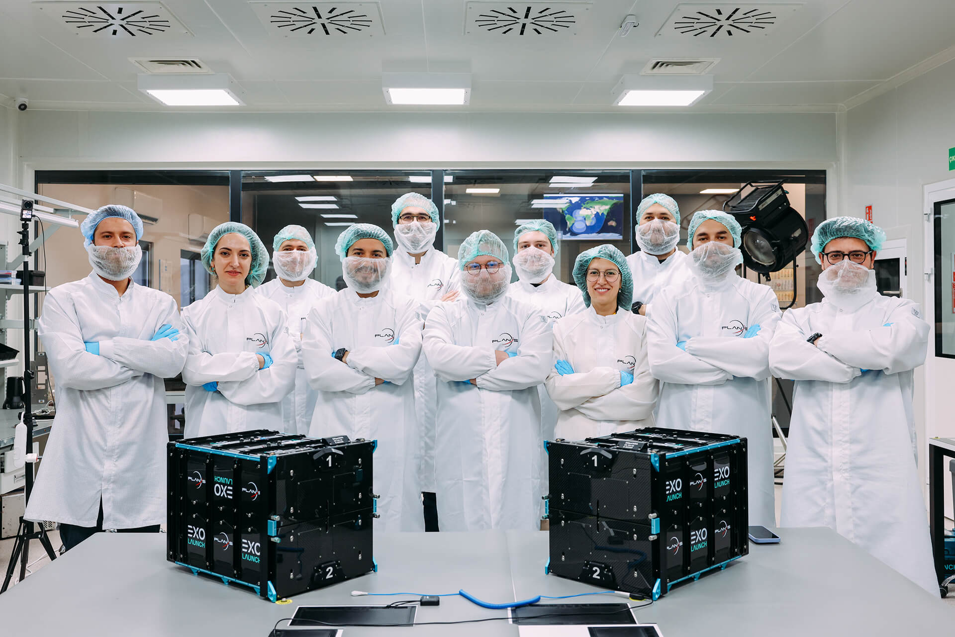
8 More Satellites to Be Launched This Year
Gümüşay announced that they will launch 8 more satellites into orbit this year to develop their services.
Pointing out that with these satellites, they will be able to receive sensor data more frequently, Gümüşay said, “Our goal is to send close to 200 satellites. To be able to receive such data within minutes. We are increasing both our frequency and our capacity. We are launching new satellites that will increase our current capacity severalfold, perhaps tenfold.
Right now, four of them are about to be sent to the USA for launch. Another four are in the production phase. We have a goal to gradually increase this number next year as well.”
Emphasizing the importance of government support and determination in such efforts, Gümüşay commented, “Until now, there hasn’t been a situation where we didn’t get the support we wanted. But this needs to be increasingly available. It’s also necessary to emphasize collaborations within the sector. This might not be an issue that a single company or institution can handle alone. There is also a need to come together, to combine forces, specifically for satellite technologies aimed at disaster situations.”


NEWS
Related Insights
Explore how space assets and ground infrastructure work together, use cases, architectures, and field results from Plan-S projects.

Plan-S Expanted Connecta Constellation to 16, Launched 4 New Satellites More
Plan-S, one of Türkiye’s leading companies in the global space sector, has successfully launched four new Connecta Internet of Things (IoT) satellites into orbit as part of SpaceX’s Twilight mission, increasing its total number of active IoT satellites to 16.
Plan-S and Türk Telekom Forge Strategic Collaboration in Satellite-Based Internet of Things
Plan-S, Türkiye’s next-generation satellite and space technologies company, and Türk Telekom, a pioneer in digital transformation, have signed a strategic agreement to disseminate satellite-based Internet of Things (IoT) services across Türkiye and offer them integrated into Türk Telekom’s solutions. Under the agreement, Türk Telekom will incorporate the Low Earth Orbit (LEO) satellite IoT connectivity service, provided by Connecta (a 100% subsidiary of Plan-S), into its own product portfolio.

Plan-S Strengthens Its Position in the Global Market with Turkish Satellite Technologies
Following the completion of regulatory processes in Türkiye, Australia, and Denmark for satellite-based Internet of Things (IoT) communications, Plan-S has reached a significant milestone in its global growth strategy.
Plan-S Honored with Three Prestigious Awards from Great Place to Work®!
These results are a testament to the excellence Plan-S has achieved not only in technology but also in its corporate culture.
5G Service to Get a Boost from Space
The next-generation Connecta IoT satellites, scheduled for launch next year, will be equipped with 5G NB-IoT technology.
Plan-S to Introduce Türkiye to New Satellite Services, Announces Global Expansion and Ambitious Constellation Roadmap
Plan-S, a leading player in Türkiye’s burgeoning space sector, is set to introduce a new era of domestic satellite services, focusing on the commercialization of space.
License Granted for Türkiye’s First LEO Satellite Constellation
This historic step is not only a first for Türkiye but also creates powerful momentum for Plan-S’s goal of providing satellite-based IoT services in global markets.

Plan-S Installs Satellite Tracking Technology on METU’s Research Vessel
The flagship vessel of METU’s Institute of Marine Sciences, a leading institution in maritime research, R/V Bilim-2, will be tracked for 45 days by the domestic satellite-based tracking system developed by Plan-S.
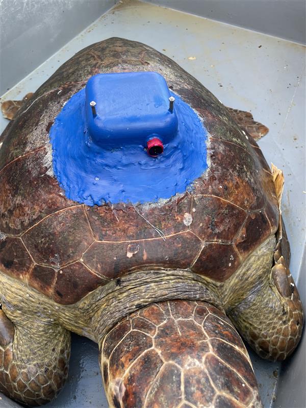
Plan-S Tracks Endangered Sea Turtles with Domestically Produced Satellite Tracker
Plan-S, one of the world’s leading satellite and space technology companies, has developed the country’s first domestic satellite tracking device, supporting the conservation of the endangered loggerhead sea turtle species.
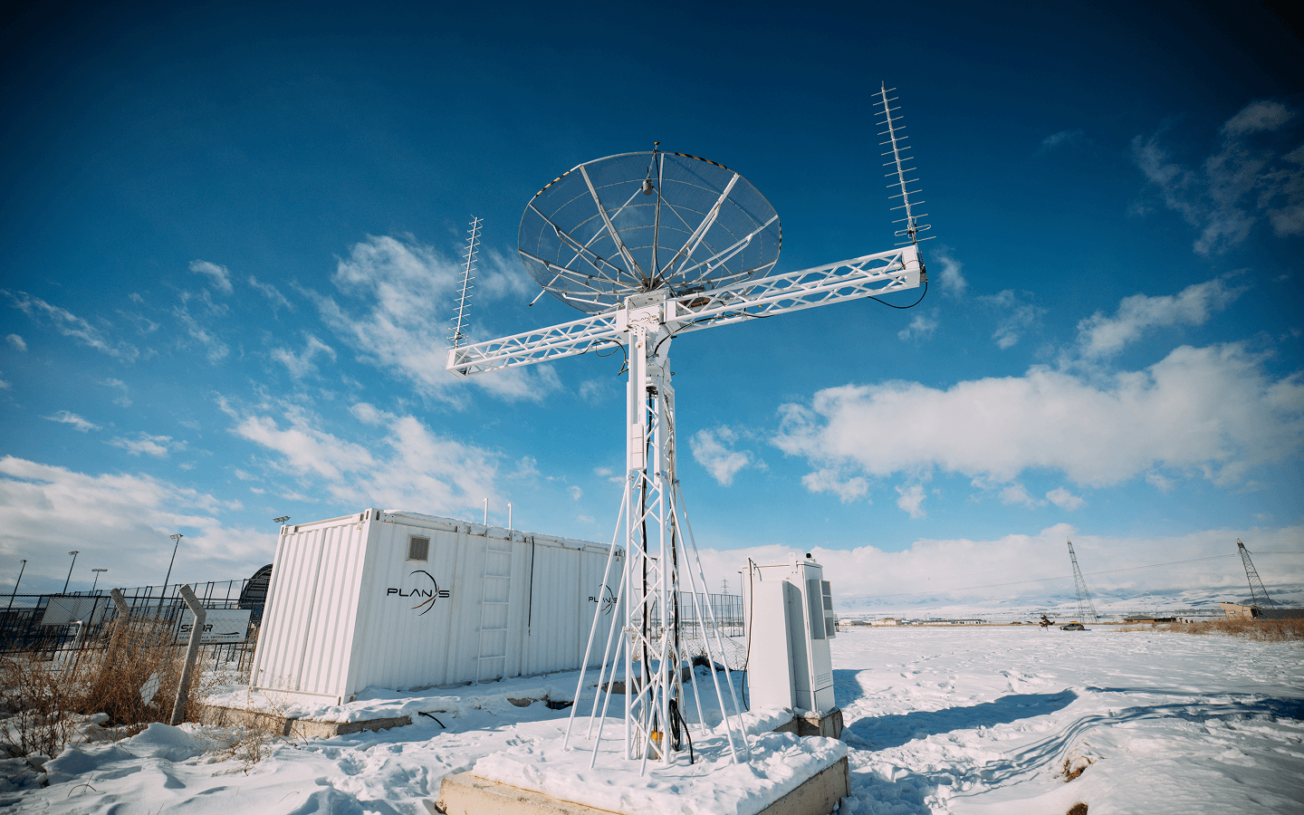
Plan-S Expands its Global Network with Satellite Ground Stations
Plan-S, one of the world’s leading satellite and space technology companies, is strengthening its global satellite communication infrastructure with its self-developed ground stations.
A New Era for IoT Applications in Azerbaijan: Plan-S Completes Integration with Azercosmos and Elsmart
Plan-S has achieved another significant milestone within the scope of its Connecta IoT Network integration efforts with Azercosmos. Data obtained from sensors developed by the Azerbaijan-based technology company Elsmart was successfully transmitted via Plan-S’s satellite constellation.

Plan-S Expands Global IoT Coverage with Four New Satellites
Plan-S, a prominent player in satellite and space technologies, has successfully launched four additional satellites aboard SpaceX’s Falcon 9 rocket as part of the Transporter-14 mission.