Water Management with Satellite Connectivity
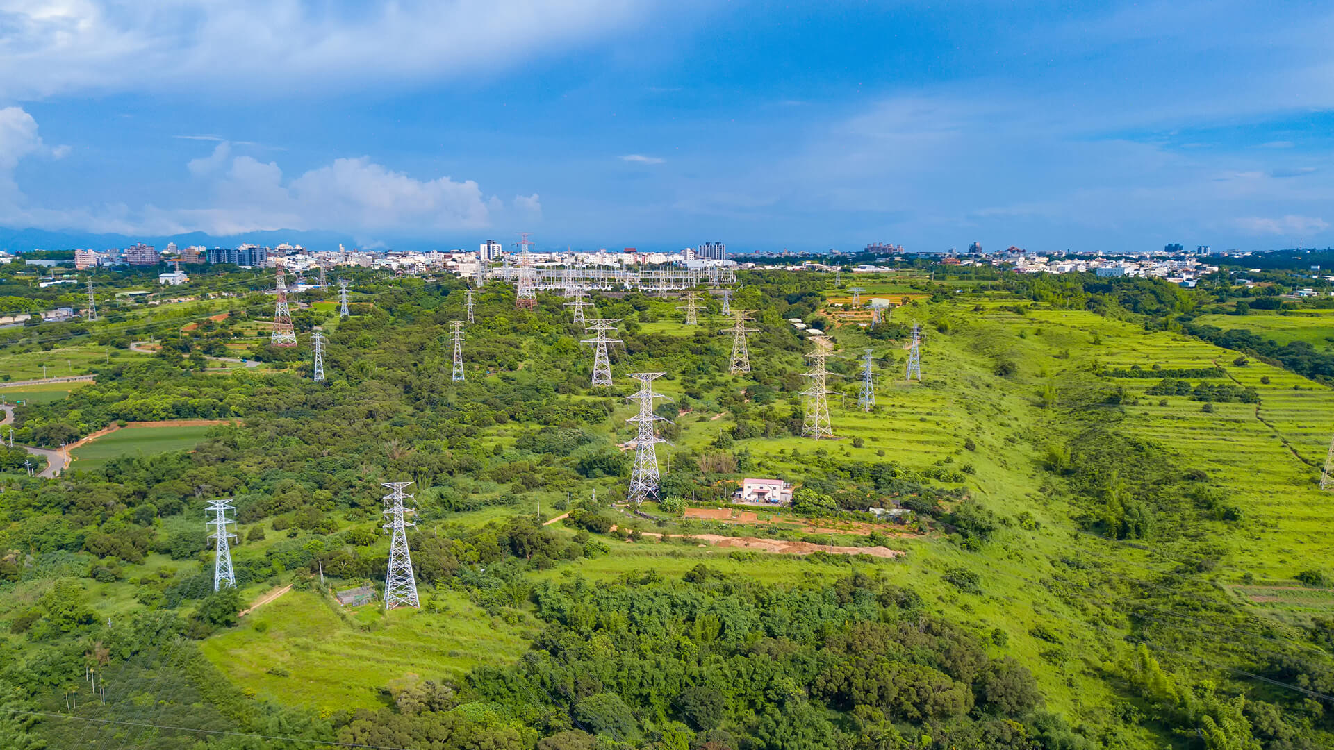
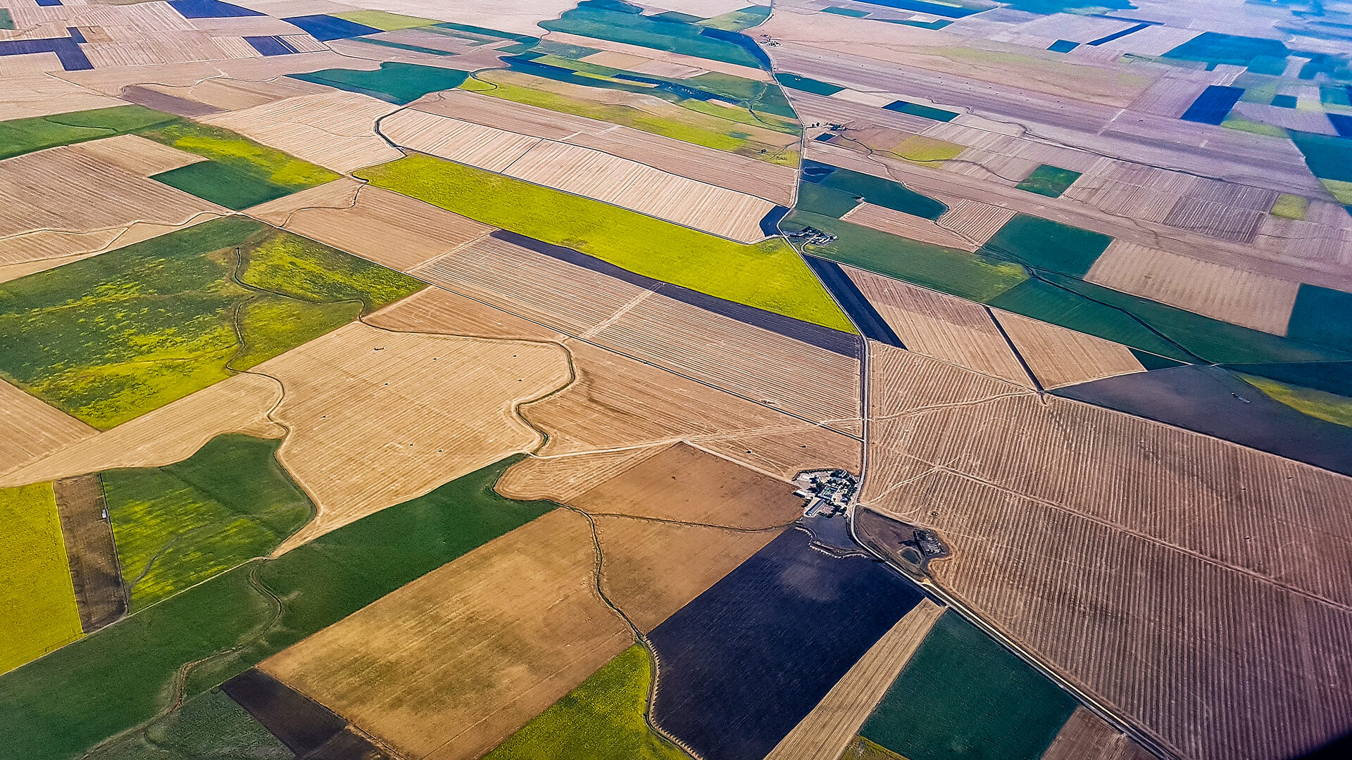
Traditional water monitoring depends on site visits and patchy terrestrial coverage, exactly where dams, pipelines, reservoirs, and remote stations often operate.
This white paper introduces how Connecta closes that gap with satellite-based IoT, enabling continuous sensor data collection, even if independent or environmental conditions, to support smarter, more sustainable water operations.
WATER MANAGEMENT
In the paper, you’ll see
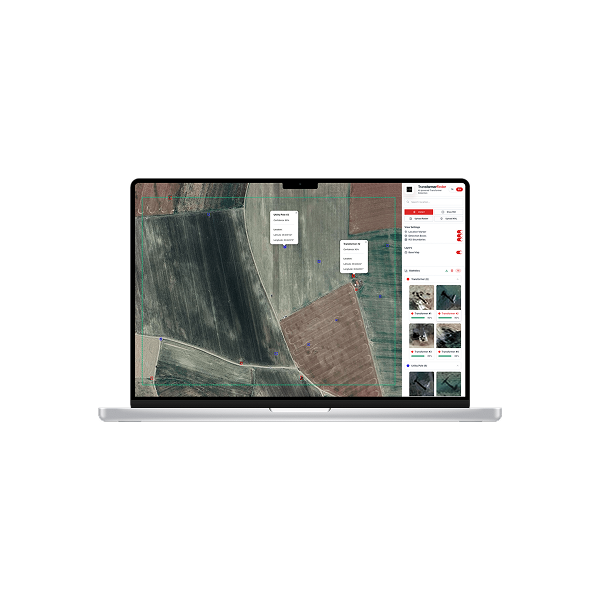
Look at the white paper to understand how Connecta turns remote water infrastructure into continuous operational visibility, architecture, use cases, and field demonstration.
Water operations often struggle with the same recurring frictions: leaks and losses are detected too late, field interventions drive costs up, and remote infrastructure remains constrained by coverage gaps.
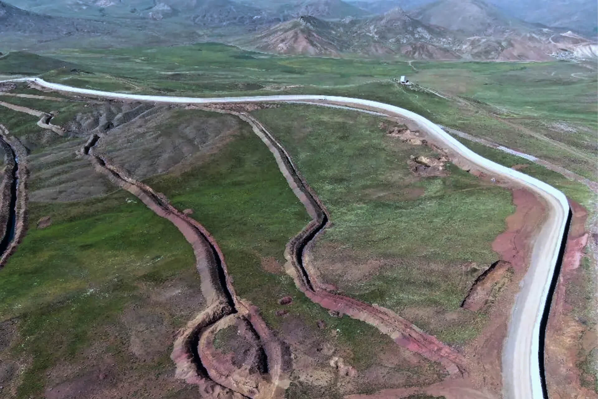
How the Connecta enables end-to-end visibility across critical parameters, water levels, quality, flow rates, pipeline leak monitoring, and cathodic protection
What satellite-enabled monitoring can unlock operationally, from earlier leak/loss identification to fewer site visits
Field demonstrations and what they showed in practice, including dam and channel monitoring and water-meter data integration into water administration systems.