SATELLITE IOT
Explore how space assets and ground infrastructure work together, use cases, architectures, and field results from Plan-S projects.
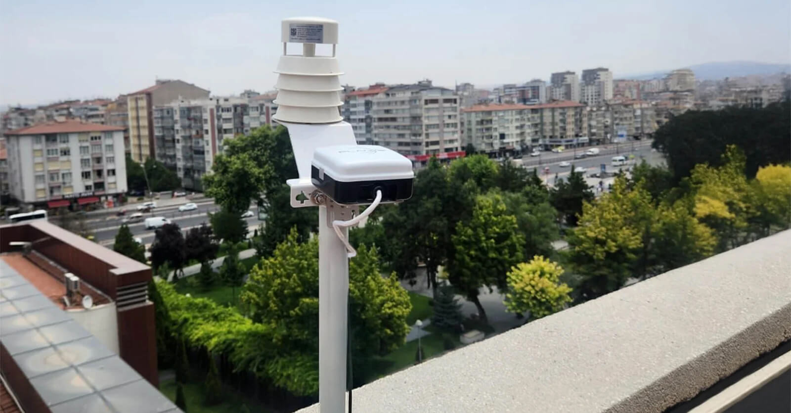
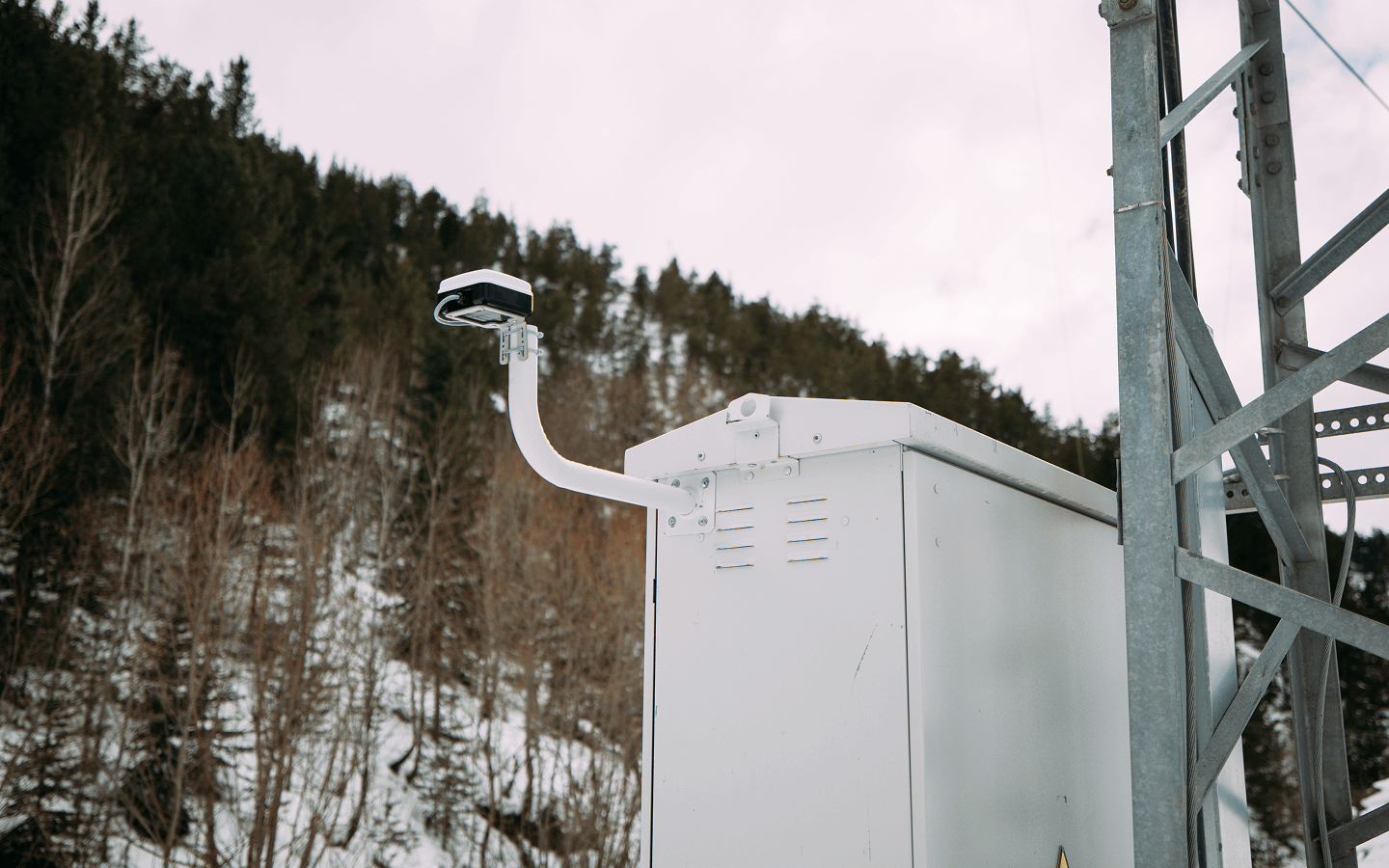
Weather Monitoring in Remote Areas: Keeping Environmental Data Flowing
Satellite IoT helps keep weather and environmental data flowing from remote monitoring points beyond terrestrial network coverage. Through Connecta, Plan-S enables reliable data transmission from distributed sensors and weather stations, supporting better planning, early warning, risk reduction, and long-term environmental visibility.
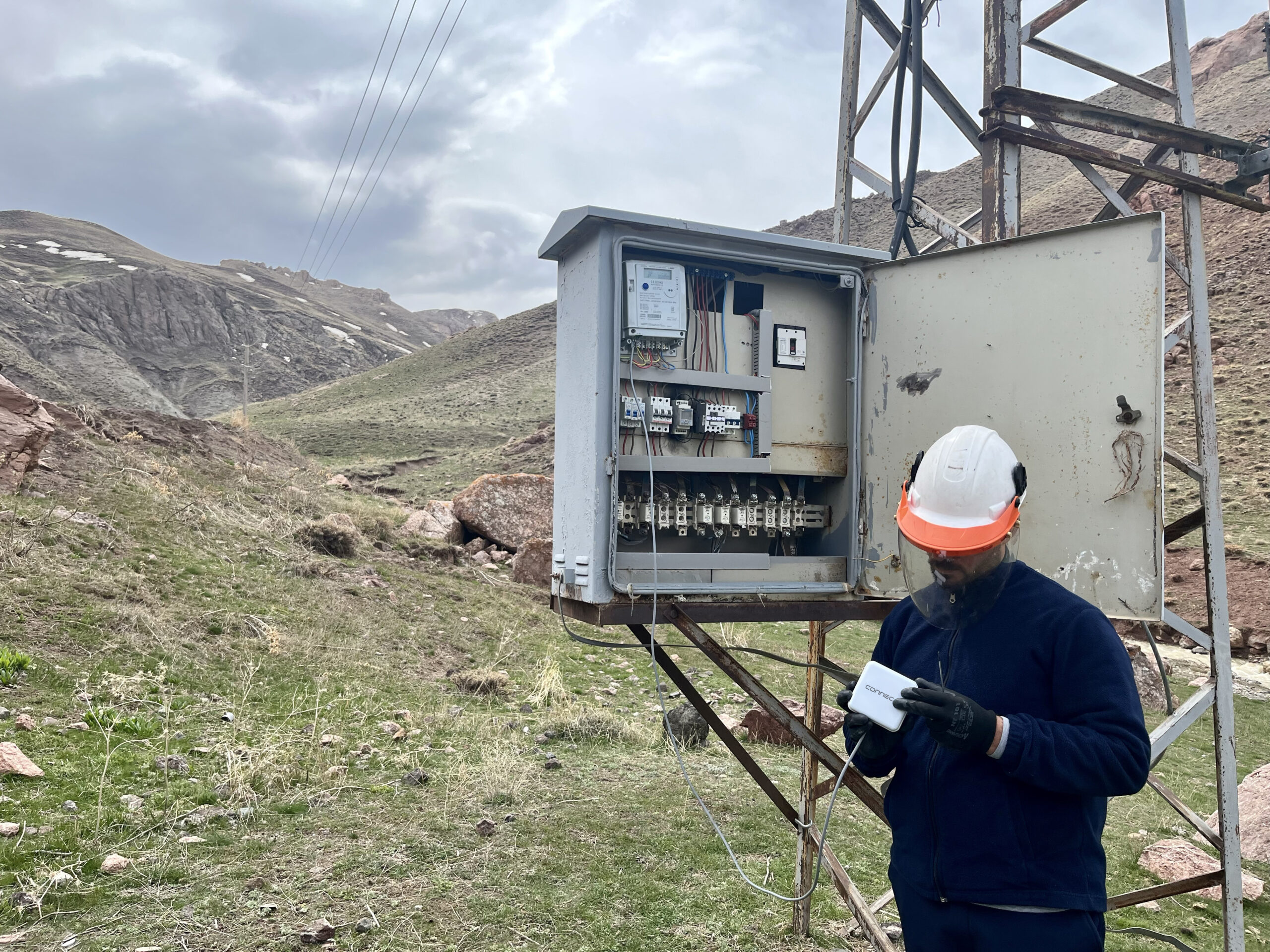
Smart Meter Reading in Remote Areas: How Satellite IoT Reduces Field Visits
Satellite IoT enables utilities to collect smart meter data from remote areas beyond terrestrial network coverage. Through Connecta Smart Meter Reader Modems and the Connecta IoT Network, Plan-S helps utilities reduce unnecessary field visits, improve data continuity, and maintain visibility across distributed service areas.

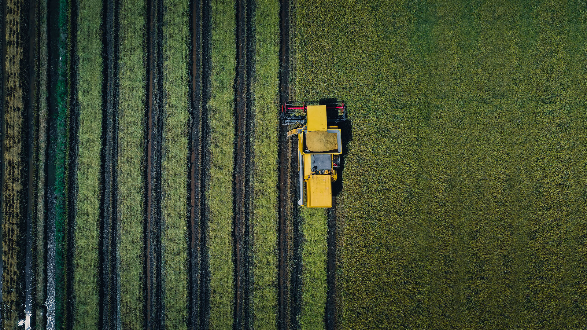
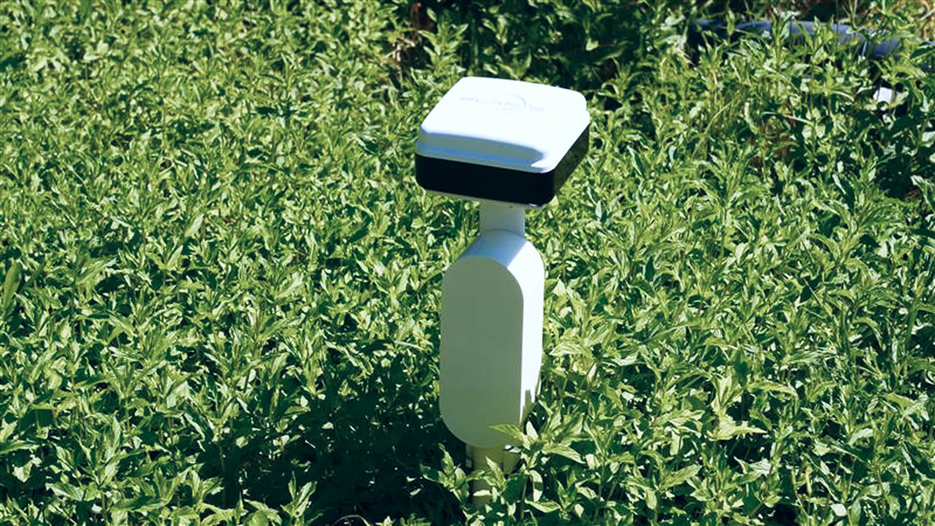
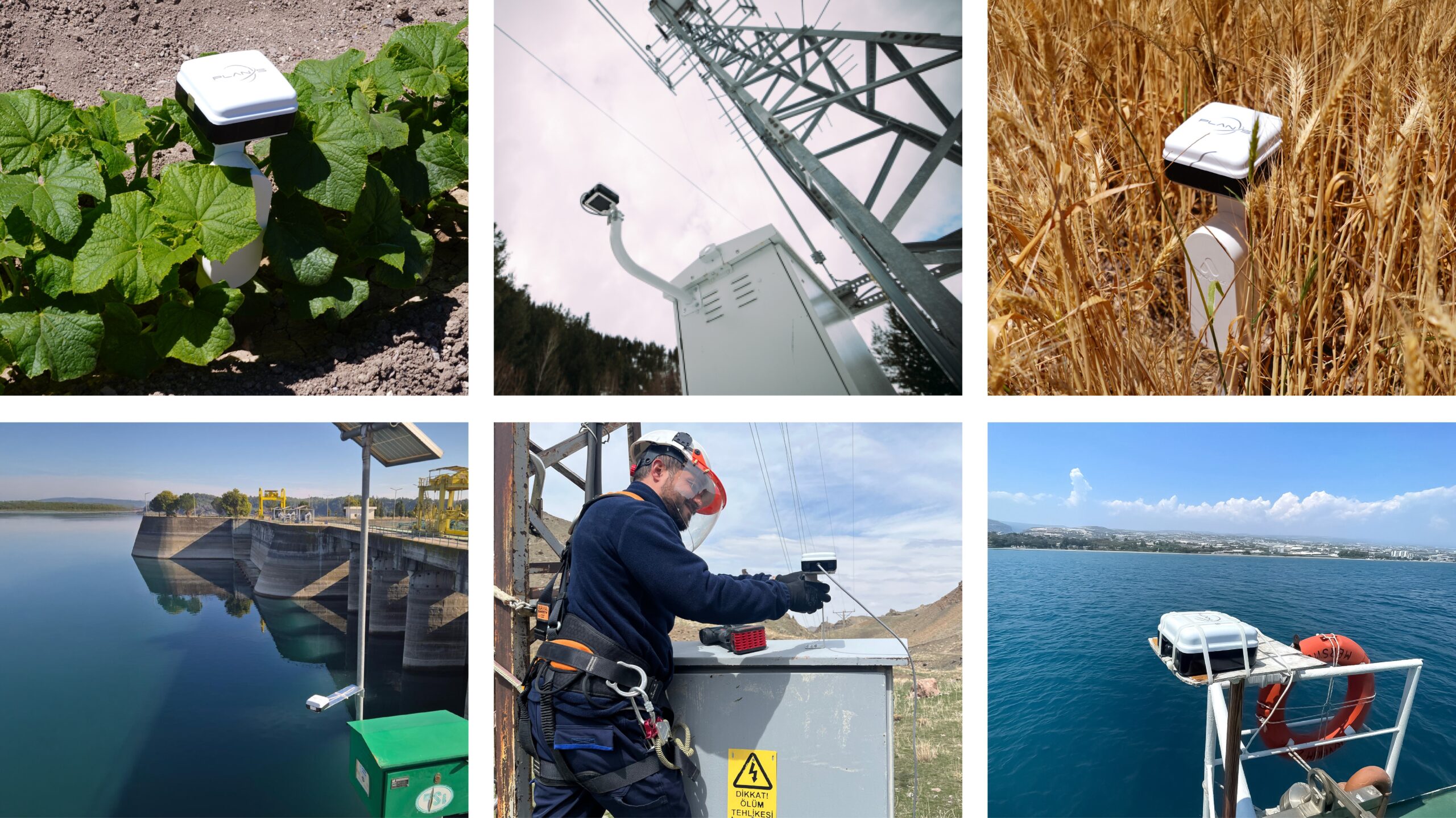
Satellite IoT for Agriculture: From Soil Data to Smarter Irrigation
Satellite IoT helps agricultural teams collect soil, irrigation, and field data from remote areas beyond terrestrial network coverage. Through Connecta, Plan-S enables smarter irrigation planning, improved resource management, and greater visibility across distributed agricultural operations.
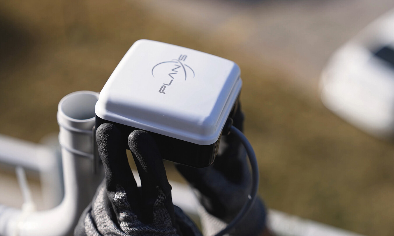
How LoRaWAN-Compatible Satellite IoT Enables Low-Power Data Transmission
LoRaWAN-compatible satellite IoT enables low-power data transmission from remote sensors, meters, trackers, and infrastructure assets operating beyond terrestrial coverage. Through Connecta, Plan-S combines satellite connectivity, IoT hardware, network infrastructure, and operational tools to support efficient, scalable, and long-term remote monitoring.
Satellite IoT vs. Terrestrial IoT: When Do Businesses Need Space-Based Connectivity?
Terrestrial networks remain the foundation of many IoT deployments, but they cannot always reach remote, mobile, or infrastructure-limited environments. Satellite IoT extends connectivity beyond traditional network boundaries, helping organizations maintain visibility and access to operational data wherever their assets operate.
What Is Satellite IoT and Why Does It Matter for Remote Operations?
Satellite IoT extends connectivity beyond the limits of terrestrial networks, enabling organizations to collect data, monitor assets, and maintain operational visibility in remote and hard-to-reach locations. Through the Connecta IoT Network, Connecta brings satellite connectivity, IoT hardware, and network infrastructure together for reliable remote operations.
Satellite IoT Is Ready: Is Regulation Keeping Up?
Billions of sensors, meters, and trackers sit in fields, dams, shipping containers, and remote infrastructure with no way to send their data. Not because the technology doesn’t exist, but because the regulatory frameworks to enable it are still catching up.
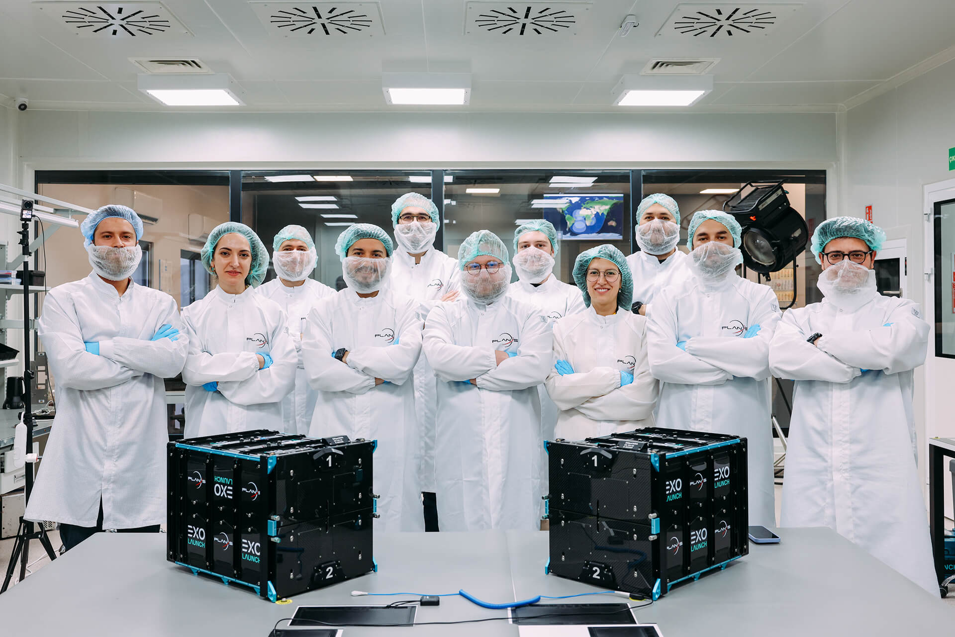
License Granted for Türkiye’s First LEO Satellite Constellation
This historic step is not only a first for Türkiye but also creates powerful momentum for Plan-S’s goal of providing satellite-based IoT services in global markets.

Plan-S Installs Satellite Tracking Technology on METU’s Research Vessel
The flagship vessel of METU’s Institute of Marine Sciences, a leading institution in maritime research, R/V Bilim-2, will be tracked for 45 days by the domestic satellite-based tracking system developed by Plan-S.