Weather Monitoring in Remote Areas: Keeping Environmental Data Flowing
Satellite IoT helps keep weather and environmental data flowing from remote monitoring points beyond terrestrial network coverage. Through Connecta, Plan-S enables reliable data transmission from distributed sensors and weather stations, supporting better planning, early warning, risk reduction, and long-term environmental visibility.
June 19, 2026
10 minute reading
#CONNECTA
#SATELLITE IOT
Weather data shapes decisions across some of the most critical areas of modern operations.
Agriculture, energy, water management, logistics, disaster response, infrastructure protection, and environmental research all depend on timely and reliable information about changing conditions in the field. Temperature shifts, rainfall patterns, wind behavior, humidity levels, atmospheric pressure, and other environmental indicators can influence how teams plan, respond, and manage risk.
Yet many of the locations where weather data is most valuable are also the hardest to connect.
Remote agricultural fields, mountain regions, rural basins, coastlines, offshore sites, isolated infrastructure areas, and high-risk environmental zones often sit beyond the reach of traditional communication networks. In these locations, collecting data is only part of the challenge. Ensuring that data reaches decision-makers consistently is just as important.
This is where satellite IoT can make a meaningful difference.
By extending connectivity beyond terrestrial network boundaries, satellite-enabled weather monitoring helps keep environmental data flowing from remote locations to operational platforms, where it can support faster decisions, better planning, and stronger risk management.
The Limits of Traditional Weather Monitoring
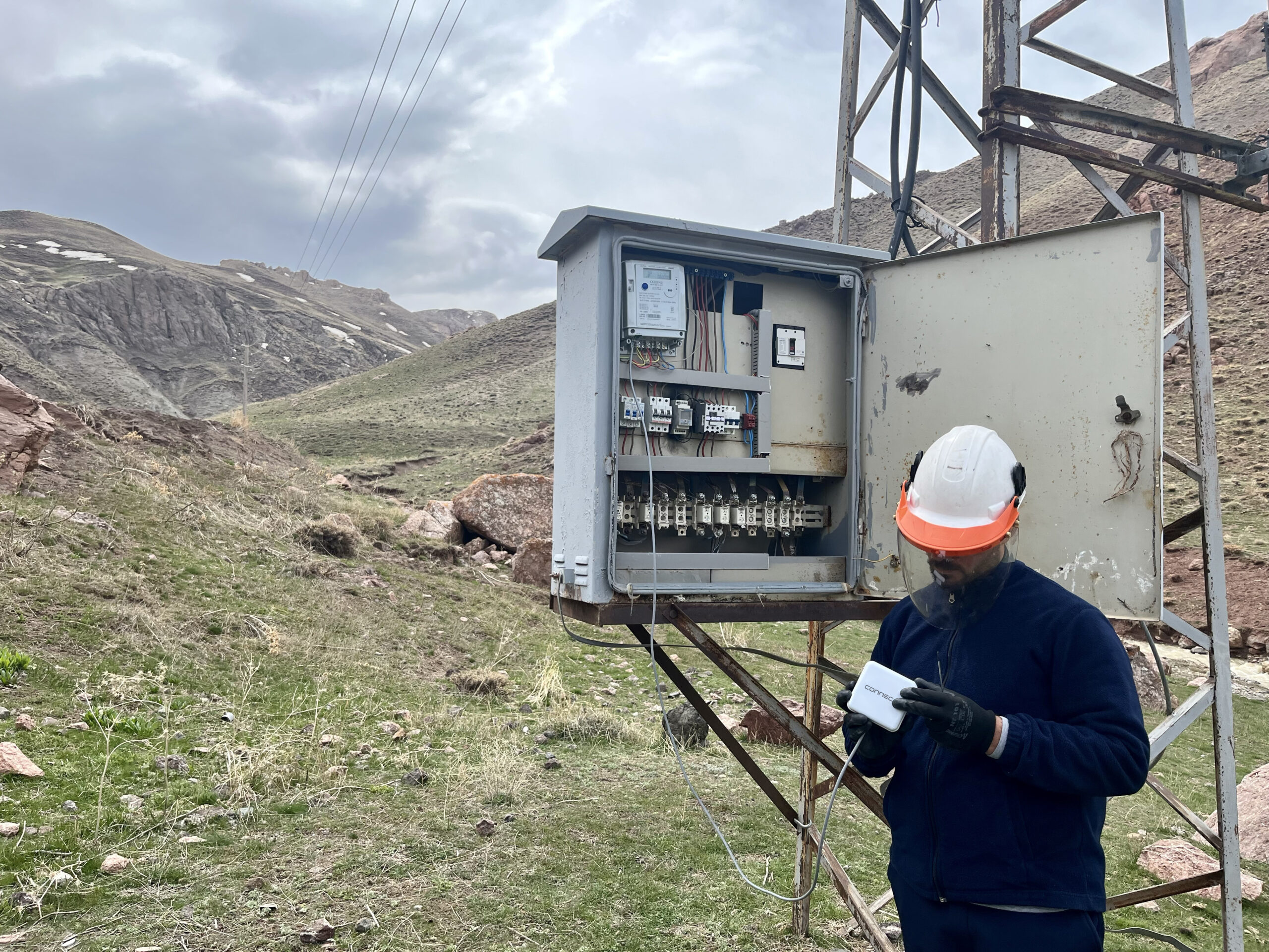
Environmental monitoring networks are often deployed in locations selected for their scientific, operational, or strategic value rather than their connectivity.
A weather station may be placed on a remote hillside to track rainfall patterns. A monitoring unit may be installed near a watershed to support flood risk analysis. Sensors may be deployed across agricultural regions to inform irrigation planning. Offshore or coastal stations may collect data that supports maritime, energy, or environmental operations.
These locations provide critical insight, but they also introduce operational challenges.
Remote weather stations may face limited or no terrestrial network coverage, harsh environmental conditions, difficult physical access, maintenance constraints, and delays between data collection and data availability.
In many cases, data may depend on periodic site visits, local storage, or delayed transmission. By the time information reaches the teams responsible for using it, field conditions may already have changed.
For weather-related decisions, timing matters.
A delay in rainfall data can affect flood response. Missing wind information can influence operational safety. Incomplete soil and temperature readings can limit agricultural planning. Gaps in environmental monitoring can reduce the accuracy of long-term analysis.
Traditional monitoring methods can still provide value, but in remote environments, they may not always provide the continuity required for timely decision-making.
Why Continuous Data Flow Matters
Weather monitoring depends on consistency.
A single measurement can provide useful information, but continuous data creates context. It allows teams to understand how environmental conditions change over time, identify patterns, detect anomalies, and respond before small changes become larger operational risks.
Continuous data flow supports a wide range of applications, including early warning systems for extreme weather events, watershed and flood monitoring, agricultural planning, irrigation management, infrastructure protection, operational safety, and long-term environmental research.
Without steady visibility, important signals can remain hidden.
Short-term fluctuations may go unnoticed. Developing risks may not be detected early enough. Response actions may lose precision. Operational teams may be forced to make decisions based on incomplete or outdated information.
When environmental data flows consistently from the field to central platforms, organizations gain more than visibility. They gain timing, accuracy, and confidence.
This transforms weather monitoring from a passive data collection activity into an active decision-support system.
Extending Monitoring Beyond Coverage Gaps
Remote monitoring requires connectivity that does not depend entirely on ground infrastructure.
Satellite IoT provides that reach.
Weather stations equipped with satellite-enabled devices can transmit data from isolated locations to orbiting satellites. From there, information can be delivered to centralized platforms, cloud systems, private data centers, or operational applications where it can be monitored, analyzed, and used by decision-makers.
This approach allows monitoring networks to expand into areas that may previously have lacked reliable connectivity.
Stations can remain active across remote landscapes, from agricultural zones and mountain regions to coastlines, offshore installations, and infrastructure corridors, without being limited by the availability of cellular networks or local communication systems.
For organizations managing distributed monitoring points, this means connectivity can follow the location of the data instead of forcing monitoring infrastructure to remain within terrestrial coverage.
From Raw Measurements to Actionable Insight
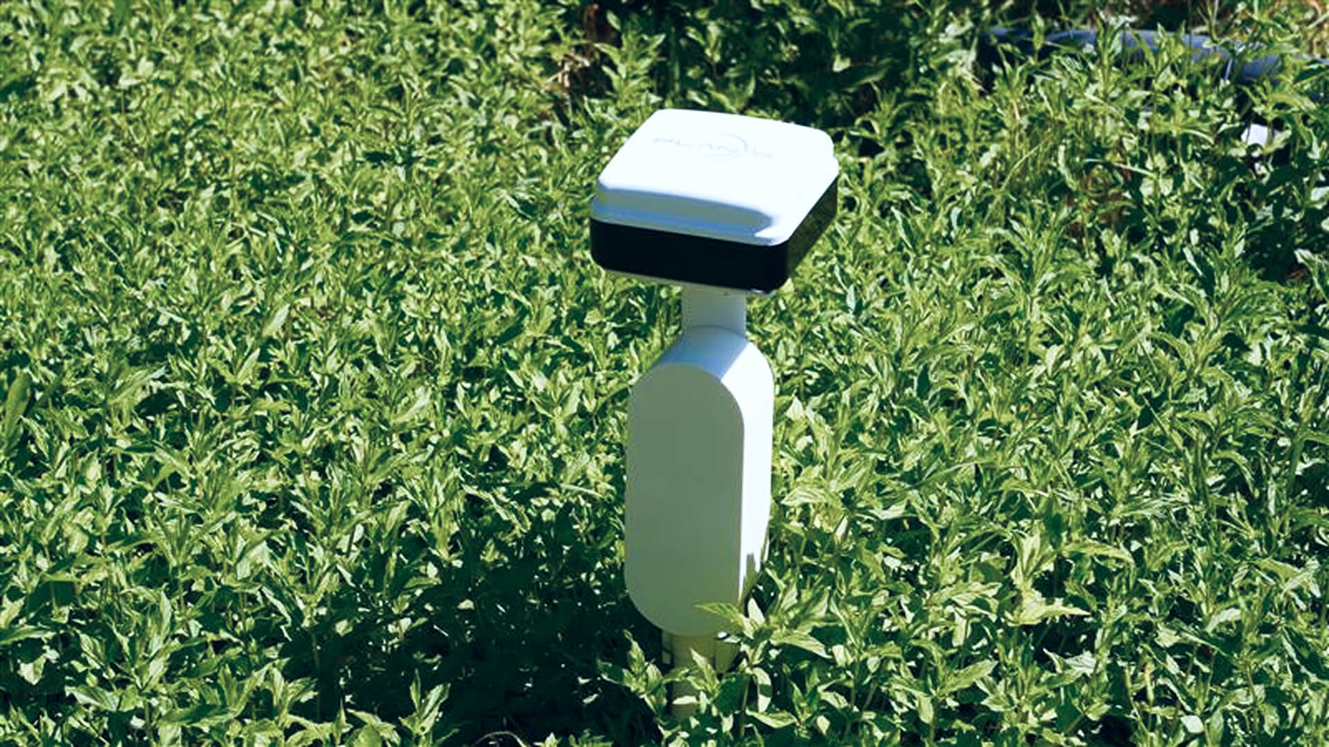
Weather stations generate continuous streams of environmental data.
Temperature, precipitation, wind speed, humidity, atmospheric pressure, and other measurements form the foundation of monitoring systems. However, the value of this data increases when it is processed, validated, structured, and analyzed over time.
Raw measurements become actionable when they are connected to operational context.
A rainfall reading can support flood monitoring. A temperature shift can inform agricultural planning. A wind pattern can influence safety decisions. Humidity data can contribute to environmental analysis. Atmospheric pressure changes can support broader forecasting models.
When this information is collected consistently and delivered reliably, teams gain a connected view of environmental conditions rather than isolated readings.
Integrated platforms can support trend analysis across regions and time periods, detection of anomalies and sudden environmental shifts, improved forecasting accuracy, and decision support for operational teams.
The objective is not simply to collect more data. It is to turn environmental signals into usable intelligence.
Supporting Early Warning and Risk Reduction
Extreme weather events can develop quickly.
Floods, storms, drought conditions, strong winds, and sudden environmental shifts often begin with small changes that become visible through consistent monitoring. When data from remote or high-risk regions is delayed, incomplete, or unavailable, response teams may have less time to act.
Satellite-enabled weather monitoring can strengthen early warning capabilities by maintaining data flow from locations where terrestrial connectivity is limited.
Timely access to environmental signals helps institutions and operational teams prepare earlier, respond faster, and reduce exposure to risk.
This is especially important for sectors where minutes matter.
In disaster response, continuous monitoring can support earlier alerts and better coordination. In agriculture, it can help teams adapt irrigation or field operations before conditions deteriorate. In energy and infrastructure, it can support operational safety and asset protection. In water management, it can help improve awareness of changes across watersheds and flood-prone areas.
Reliable weather data does not prevent environmental risks, but it can improve how organizations prepare for and respond to them.
Enabling Public and Environmental Value
Weather monitoring delivers value beyond operational efficiency.
Reliable environmental data supports public safety, climate observation, emergency response, sustainable resource management, and protection of natural ecosystems.
Institutions, researchers, authorities, and operational teams depend on consistent data to understand environmental behavior and make informed decisions. In many cases, the regions that require monitoring most urgently are also the regions where connectivity is most difficult to maintain.
Satellite IoT can help close this gap by enabling environmental data collection from remote and underserved locations.
This supports a more complete understanding of changing conditions across wider geographies. It also helps organizations build monitoring networks that are less dependent on terrestrial infrastructure and more resilient against coverage limitations.
For long-term environmental research, consistent data over time can reveal patterns that occasional measurements may miss. For public authorities, it can support stronger preparedness and response. For industries operating in remote environments, it can improve safety, planning, and continuity.
Connecta for Remote Weather Monitoring
Connecta enables satellite-based IoT connectivity for remote monitoring applications, including weather and environmental data collection.
Through the Connecta IoT Network, sensors and weather monitoring devices deployed beyond terrestrial coverage can transmit data to operational platforms where it can be viewed, analyzed, and used for decision-making.
This capability is especially valuable for organizations that need visibility across remote agricultural areas, water basins, infrastructure sites, energy assets, environmental research locations, and disaster-prone regions.
Connecta brings together satellite connectivity, IoT hardware, network infrastructure, and operational tools to support data transmission from distributed assets and monitoring points.
For weather monitoring, this means environmental data can continue moving from the point of collection to the point of use, even when conventional communication networks are unavailable or unreliable.
By supporting satellite, terrestrial, and hybrid IoT deployments, Connecta helps organizations build monitoring systems that reflect real operating conditions. Devices located within terrestrial coverage can continue using existing infrastructure, while remote devices can remain connected through satellite communication.
This creates a more flexible and resilient approach to environmental monitoring.
Building Resilient Monitoring Networks
Environmental monitoring networks must function under unpredictable conditions.
Remote locations, harsh weather, shifting environmental patterns, infrastructure gaps, and physical access limitations can all place pressure on data continuity. A resilient monitoring network must be able to keep data moving even when local connectivity is unavailable.
Satellite IoT supports this resilience by providing an alternative communication path for remote monitoring devices.
Rather than depending entirely on ground-based networks, organizations can extend visibility across locations where traditional infrastructure may not exist. This helps ensure that critical environmental data remains available to the systems and teams that need it.
For organizations operating across large or geographically diverse areas, this continuity can improve planning, reduce uncertainty, and support better operational decisions.
A resilient monitoring network is not only defined by the number of sensors deployed. It is defined by the ability to keep information flowing from those sensors consistently.
Plan-S Capabilities Behind Connecta
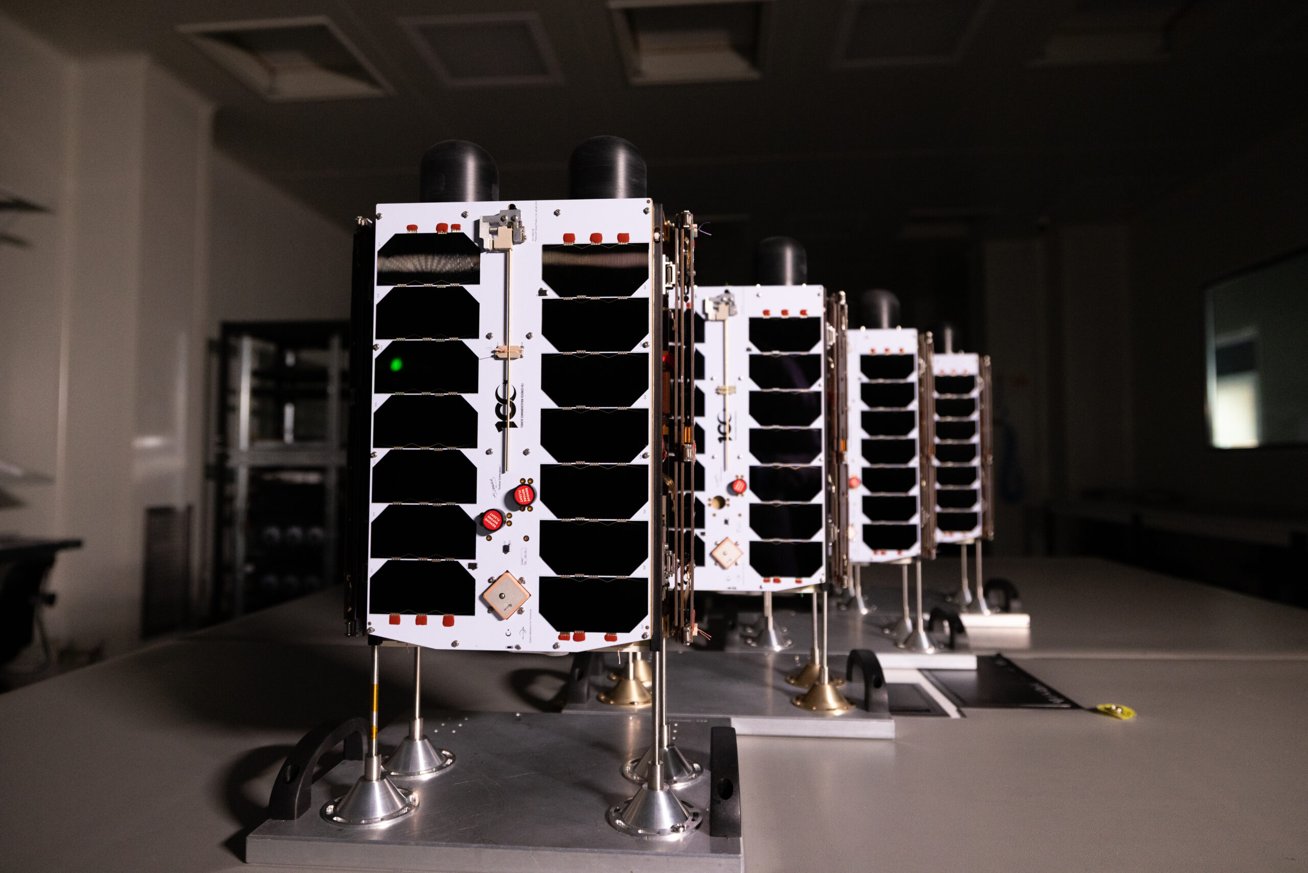
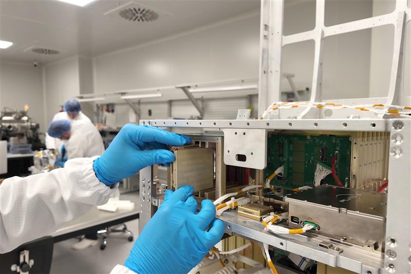
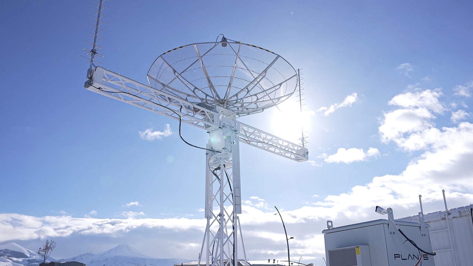
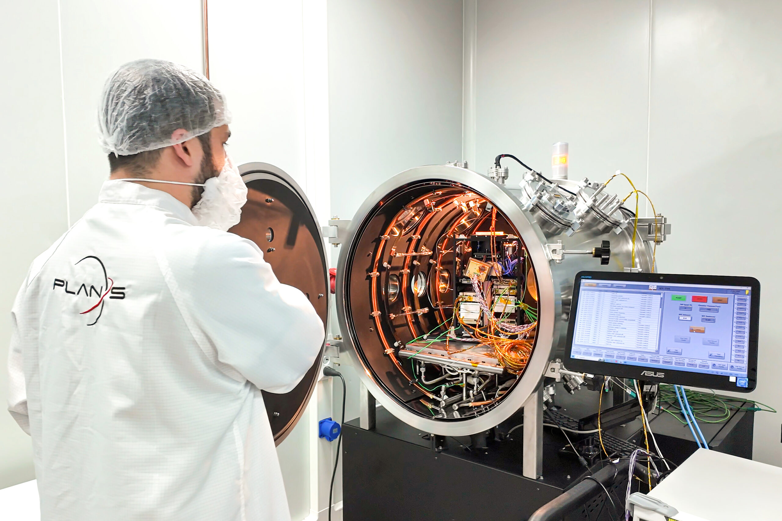
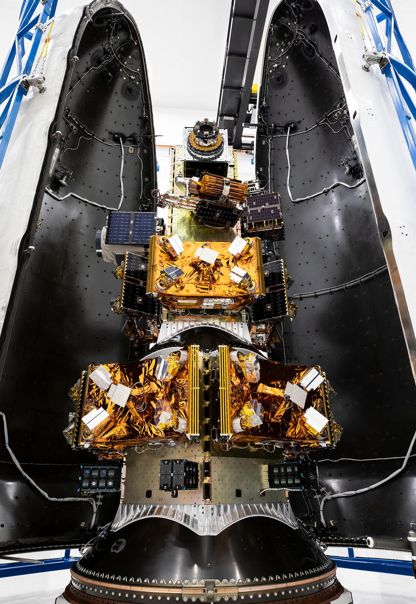
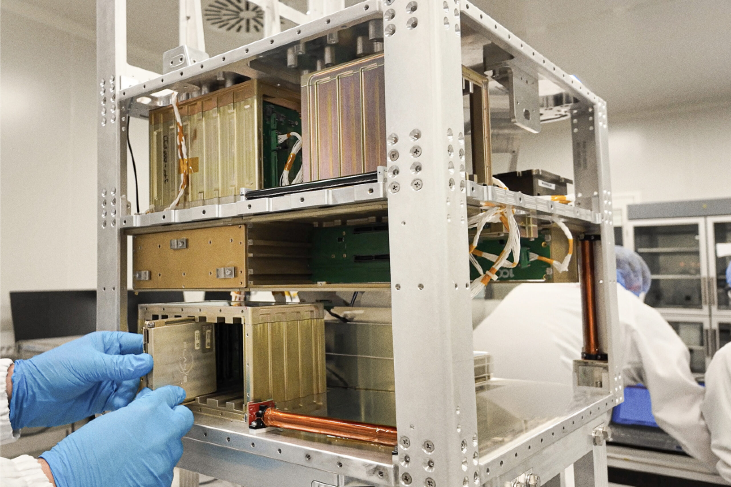
Connecta is powered by Plan-S’ expertise in satellite technologies, IoT connectivity, spacecraft development, ground infrastructure, and in-orbit operations.
Plan-S develops satellite-based connectivity capabilities through an integrated approach that includes mission design, satellite manufacturing, payload integration, network infrastructure, ground segment operations, and service delivery. This end-to-end capability enables Connecta to provide a practical IoT ecosystem for industries and institutions that depend on data from remote and distributed assets.
For weather and environmental monitoring, this means connectivity is supported by a broader space-based infrastructure designed to extend data access beyond terrestrial network limitations.
By combining satellite IoT, field-ready hardware, network management, data routing, and operational integration capabilities, Connecta helps organizations build monitoring systems that are scalable, resilient, and aligned with real-world conditions.
This allows customers to focus on the environmental data they need, the decisions they must make, and the risks they need to manage, while relying on a satellite-enabled IoT ecosystem designed for remote operations.
Keeping Environmental Data in Motion
Weather monitoring rests on a simple but critical principle: information must move continuously from the point of collection to the point of use.
A weather station on a remote hillside, a sensor near a river basin, or a monitoring unit in an isolated agricultural zone each captures one part of a larger environmental picture. When these data points flow without interruption, they create a clearer and more reliable view of changing conditions.
Every measurement carries context.
Temperature shifts can indicate broader atmospheric patterns. Rainfall measurements can signal changes in water availability. Wind data can reflect evolving environmental dynamics. Humidity and pressure readings can contribute to forecasting, planning, and operational awareness.
When this information travels consistently from remote locations to central systems, it builds the foundation for better decisions.
Through Connecta, satellite IoT helps keep environmental data moving across remote and hard-to-reach areas, supporting weather monitoring, risk reduction, operational planning, and long-term environmental awareness.
Because reliable decisions depend on reliable data.
And reliable data must keep flowing, wherever it is collected.
BLOG
Related Insights
Explore how space assets and ground infrastructure work together, use cases, architectures, and field results from Plan-S projects.
The Role of Systems Engineering in Small Satellite Mission Success
Systems engineering connects payload, power, thermal control, ADCS, communications, software, ground infrastructure, and operations into a coherent mission architecture. For small satellite missions, this system-level approach helps reduce integration risk, improve reliability, and ensure that every subsystem supports the mission objective.

LEOP Explained: What Happens After a Satellite Reaches Orbit?
Launch and Early Orbit Phase, or LEOP, is the critical stage after deployment when a satellite establishes communication, undergoes health checks, activates subsystems, verifies orbit, checks payload performance, and transitions into routine operations. A successful LEOP turns a launched spacecraft into an operational asset capable of delivering mission value.
Payload Integration for Small Satellites: What Mission Teams Should Know
Payload integration is a system-level process that aligns mechanical, electrical, thermal, data, software, and operational requirements within the spacecraft architecture. For small satellite missions, successful integration helps reduce risk, validate mission readiness, and ensure that the payload can deliver reliable value in orbit.

How End-to-End Satellite Services Reduce Mission Complexity
End-to-end satellite services reduce mission complexity by bringing mission design, spacecraft development, payload integration, testing, launch coordination, ground segment, data systems, and in-orbit operations under one integrated framework. With a single accountable mission partner, organizations can move from concept to orbit with greater clarity, control, and operational continuity.
Ground Segment 101: Why Satellites Need More Than Spacecraft to Deliver Value
A satellite alone creates potential, but the ground segment turns that potential into operational value. By connecting spacecraft to mission control, data downlink, processing systems, software platforms, and user applications, the ground segment enables satellites to deliver reliable information, control, and service continuity on Earth.
The Role of AIT in Building Reliable Small Satellites
Assembly, Integration, and Testing is one of the most critical phases in building reliable small satellites. By validating subsystems, interfaces, payload compatibility, environmental performance, and operational readiness before launch, AIT helps reduce mission risk and supports more predictable outcomes in orbit.
From Mission Concept to Orbit: A Step-by-Step Guide to Small Satellite Missions
A small satellite mission is a coordinated journey from concept definition and mission design to platform development, payload integration, testing, launch, licensing, operations, and data delivery. Through its end-to-end space services capabilities, Plan-S helps organizations transform mission objectives into reliable operational systems in orbit.
Smart Meter Reading in Remote Areas: How Satellite IoT Reduces Field Visits
Satellite IoT enables utilities to collect smart meter data from remote areas beyond terrestrial network coverage. Through Connecta Smart Meter Reader Modems and the Connecta IoT Network, Plan-S helps utilities reduce unnecessary field visits, improve data continuity, and maintain visibility across distributed service areas.

Satellite IoT for Agriculture: From Soil Data to Smarter Irrigation
Satellite IoT helps agricultural teams collect soil, irrigation, and field data from remote areas beyond terrestrial network coverage. Through Connecta, Plan-S enables smarter irrigation planning, improved resource management, and greater visibility across distributed agricultural operations.
How LoRaWAN-Compatible Satellite IoT Enables Low-Power Data Transmission
LoRaWAN-compatible satellite IoT enables low-power data transmission from remote sensors, meters, trackers, and infrastructure assets operating beyond terrestrial coverage. Through Connecta, Plan-S combines satellite connectivity, IoT hardware, network infrastructure, and operational tools to support efficient, scalable, and long-term remote monitoring.
Hosted Payload Missions: A Faster Route to Flight Heritage
Hosted payload missions provide a practical route to in-orbit validation by allowing organizations to test sensors, communication systems, scientific instruments, and experimental payloads on existing spacecraft platforms. By building on Plan-S’ mission heritage and end-to-end space services capabilities, organizations can gain flight heritage while reducing the complexity of developing a dedicated satellite mission.
Why Flight Heritage Matters in Small Satellite Missions
Flight heritage gives satellite missions a stronger foundation by turning in-orbit experience into greater reliability, reduced uncertainty, and more mature spacecraft platforms. At Plan-S, each mission contributes to the evolution of flight-proven systems, supporting future missions from concept to orbit and from orbit to operational value.