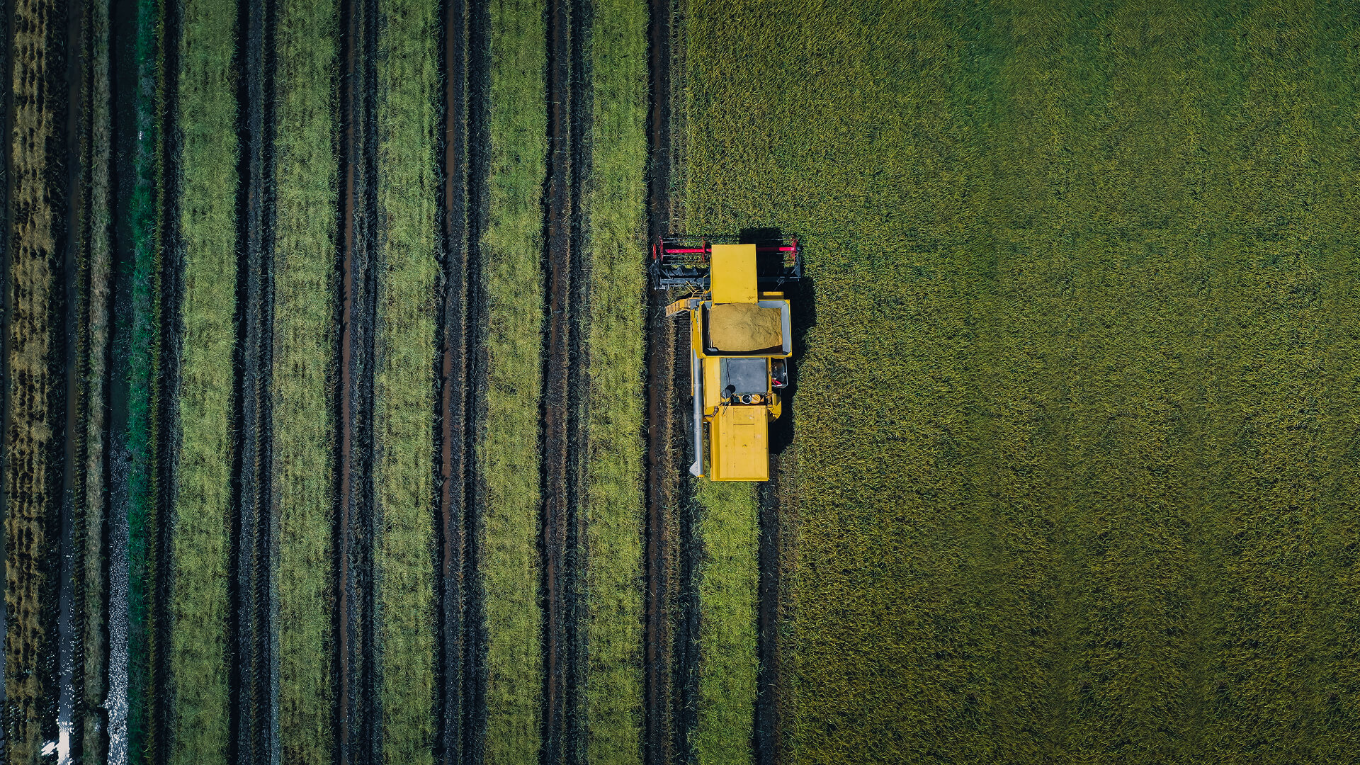
Satellite IoT for Agriculture: From Soil Data to Smarter Irrigation
Satellite IoT helps agricultural teams collect soil, irrigation, and field data from remote areas beyond terrestrial network coverage. Through Connecta, Plan-S enables smarter irrigation planning, improved resource management, and greater visibility across distributed agricultural operations.
June 18, 2026
7 minute reading
#CONNECTA
#SATELLITE IOT
Agriculture operates in one of the most dynamic environments on Earth.
Soil conditions change throughout the season. Weather patterns influence water availability. Crop health can vary significantly across different parts of the same field. Irrigation needs shift depending on soil type, drainage, temperature, rainfall, and crop development.
Yet many irrigation decisions still rely on periodic inspections, manual observations, or delayed reporting.
By the time changes become visible, opportunities to optimize water usage or respond to developing issues may already be limited. For agricultural teams managing large fields, distributed assets, or remote farming areas, this creates a clear challenge: how can they maintain timely visibility into field conditions?
The answer begins with connected data.
Satellite IoT enables agricultural operations to collect information from sensors, irrigation systems, reservoirs, pumps, and field equipment located beyond the reach of terrestrial networks. By extending connectivity into remote agricultural areas, it helps transform field conditions into actionable insight.
Why Visibility Matters in Modern Agriculture
Every irrigation decision depends on understanding what is happening in the field.
When should irrigation begin?
How much water should be applied?
Which areas need attention first?
Where is water being used efficiently?
Where are early signs of stress emerging?
Without reliable visibility, these decisions often depend on assumptions rather than real field conditions.
This becomes even more challenging in large-scale agricultural operations. A single farming area may include different soil moisture levels, drainage patterns, crop growth stages, elevation changes, and water demand. What appears uniform from a distance may contain meaningful variation at field level.
Understanding these differences is essential for smarter irrigation management.
With connected monitoring, agricultural teams can move from periodic observation to continuous awareness. Instead of waiting for visible signs of stress, they can track field conditions over time and respond earlier.
Turning Soil Data Into Operational Insight
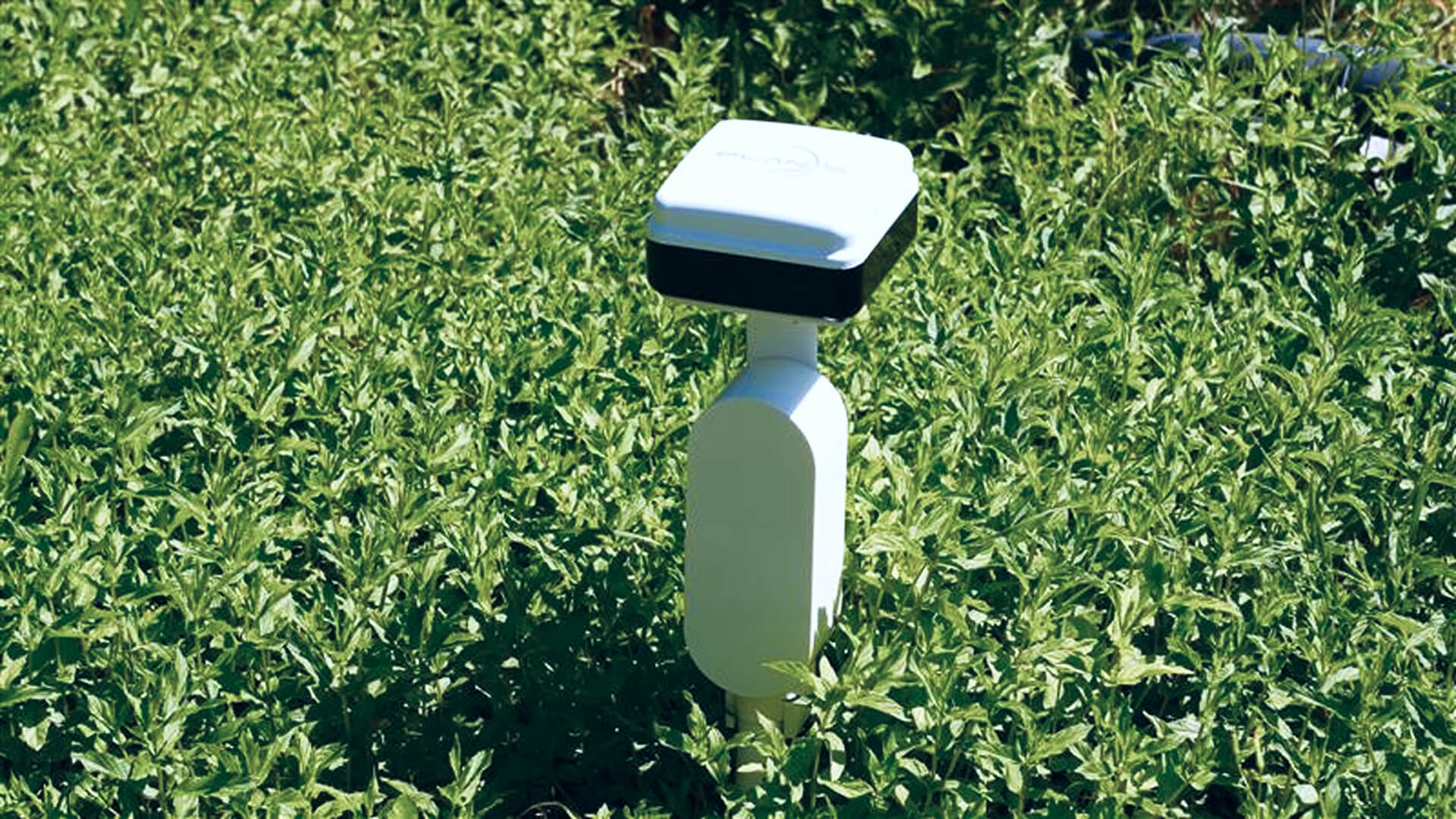
Soil moisture is one of the most important indicators in agriculture.
A single soil moisture reading provides more than a measurement of water content. It offers context about irrigation needs, field performance, crop conditions, and resource efficiency.
When collected consistently, soil data reveals patterns that cannot always be detected through occasional field visits. Teams can monitor how moisture levels change after irrigation, compare conditions across different field zones, and identify areas where water distribution may be uneven.
This data can support more accurate irrigation timing, help prevent unnecessary watering, and improve the allocation of water resources across large agricultural areas.
The value is not only in collecting data. The value comes from turning individual measurements into a broader understanding of field performance.
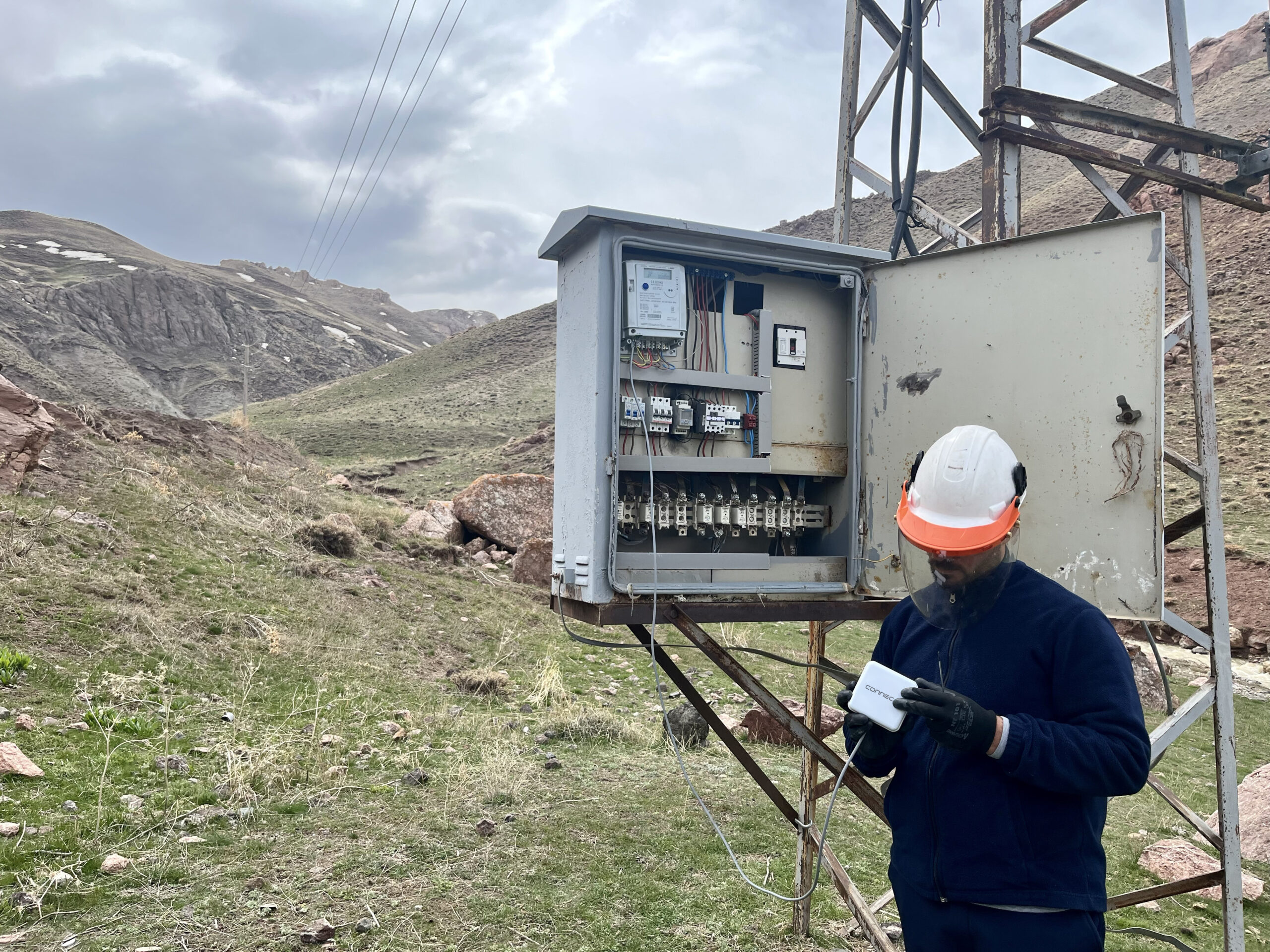
The Connectivity Challenge in Agriculture
Agricultural infrastructure often extends far beyond areas covered by traditional communication networks.
Fields, reservoirs, pumps, irrigation lines, weather stations, environmental sensors, and monitoring devices may be located in rural or remote regions where cellular coverage is limited, inconsistent, or unavailable.
This creates a gap between the assets generating valuable data and the teams responsible for making decisions.
In these environments, even the most advanced sensors can lose much of their value if the data they collect cannot be transmitted reliably.
Satellite IoT helps close this gap.
By enabling sensors and monitoring devices to transmit data through satellite networks, agricultural operations can maintain visibility across remote fields and distributed infrastructure. This allows information collected in the field to remain accessible, regardless of distance from terrestrial communication infrastructure.
In practical terms, connectivity follows the agricultural operation instead of limiting where monitoring can take place.
Supporting Smarter Irrigation Decisions
Access to accurate and timely field data can improve the way irrigation is planned and managed.
Instead of applying water based only on fixed schedules or general assumptions, agricultural teams can make decisions based on actual field conditions. This enables more efficient water usage, better irrigation timing, reduced unnecessary watering, and faster identification of changing conditions.
Small improvements in irrigation practices can create significant impact when applied across large agricultural areas.
Better visibility can help teams identify where water is needed most, where irrigation may be excessive, and where field conditions are changing faster than expected. It can also support more coordinated management of pumps, reservoirs, irrigation systems, and crop zones.
For regions facing water scarcity, climate variability, or increasing pressure on agricultural productivity, this level of insight becomes increasingly important.
Smarter irrigation begins with better field visibility.
From Data Collection to Agricultural Intelligence
Data collection is only one part of the process.
The real value emerges when information from multiple sources is brought together to create a more complete view of agricultural operations.
Soil moisture readings, environmental data, irrigation activity, equipment status, weather conditions, and crop health indicators can all contribute to better decision-making when they are connected through a reliable monitoring framework.
This is where satellite IoT becomes more than a communication layer.
It becomes part of an agricultural intelligence system that helps teams monitor fields, understand changing conditions, identify early signs of water stress, support yield forecasting, and improve irrigation planning across large agricultural footprints.
By making field data available to operational platforms, satellite IoT helps agricultural teams move from reactive management to more informed and proactive decision-making.
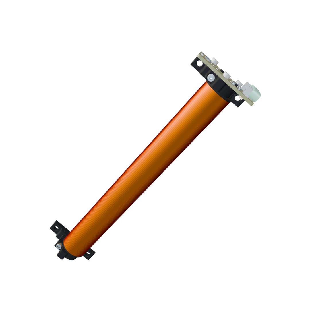
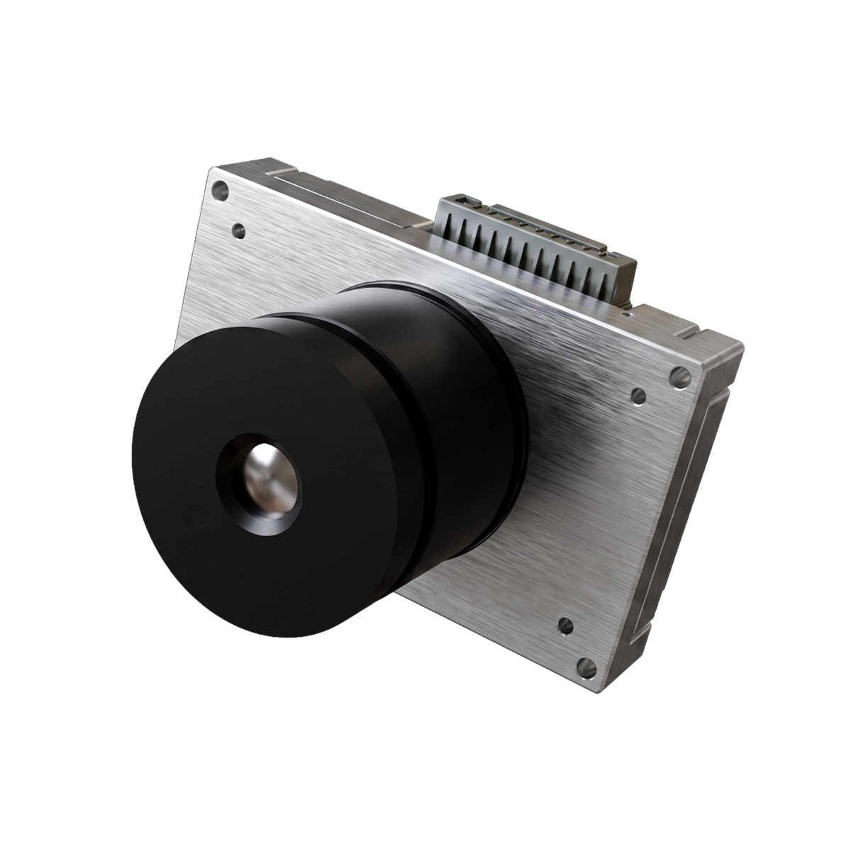
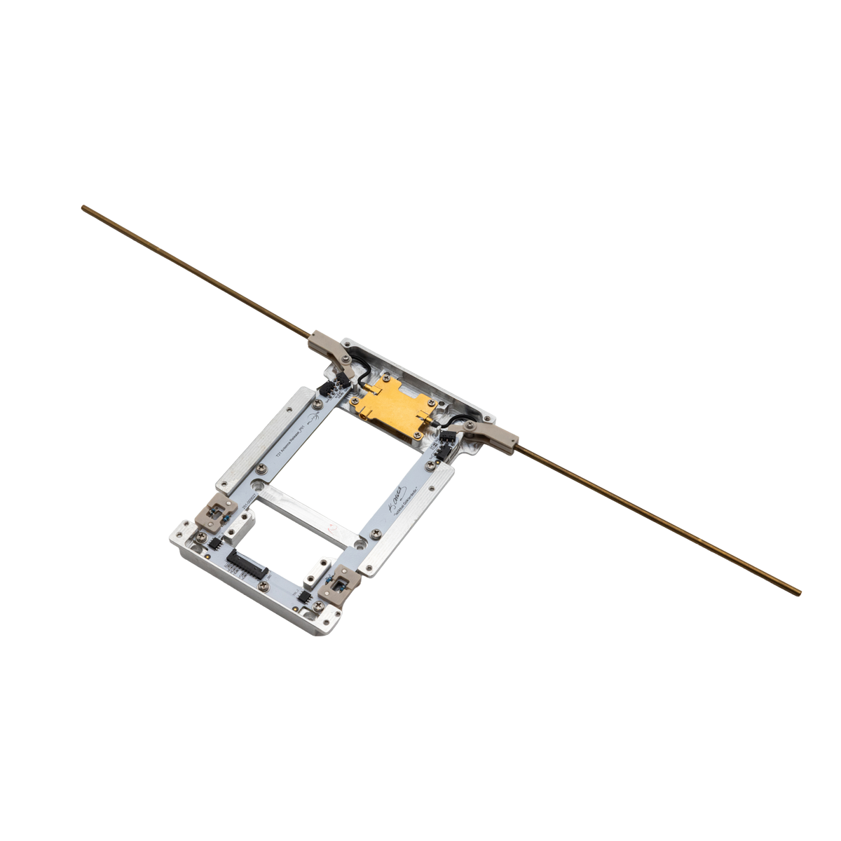
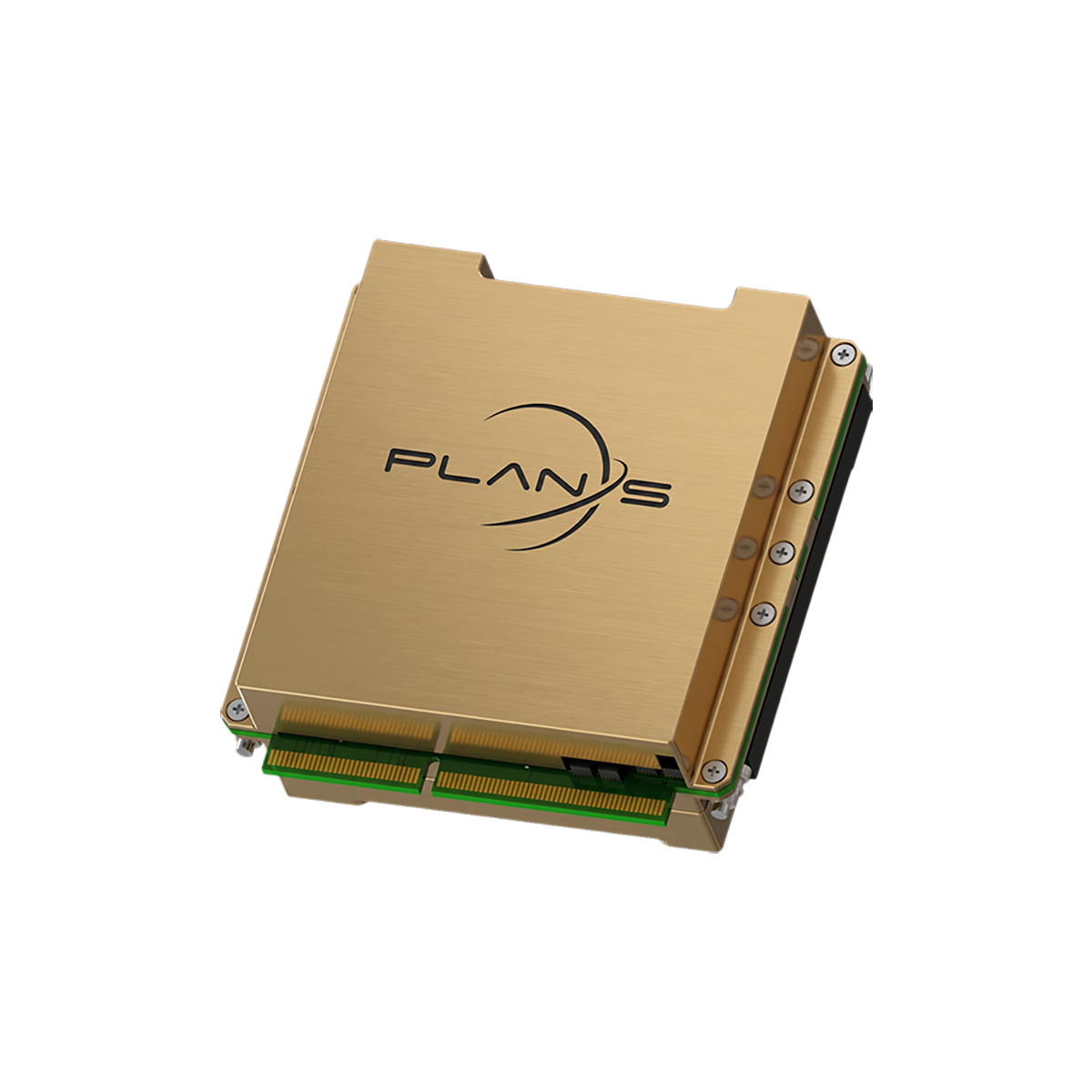
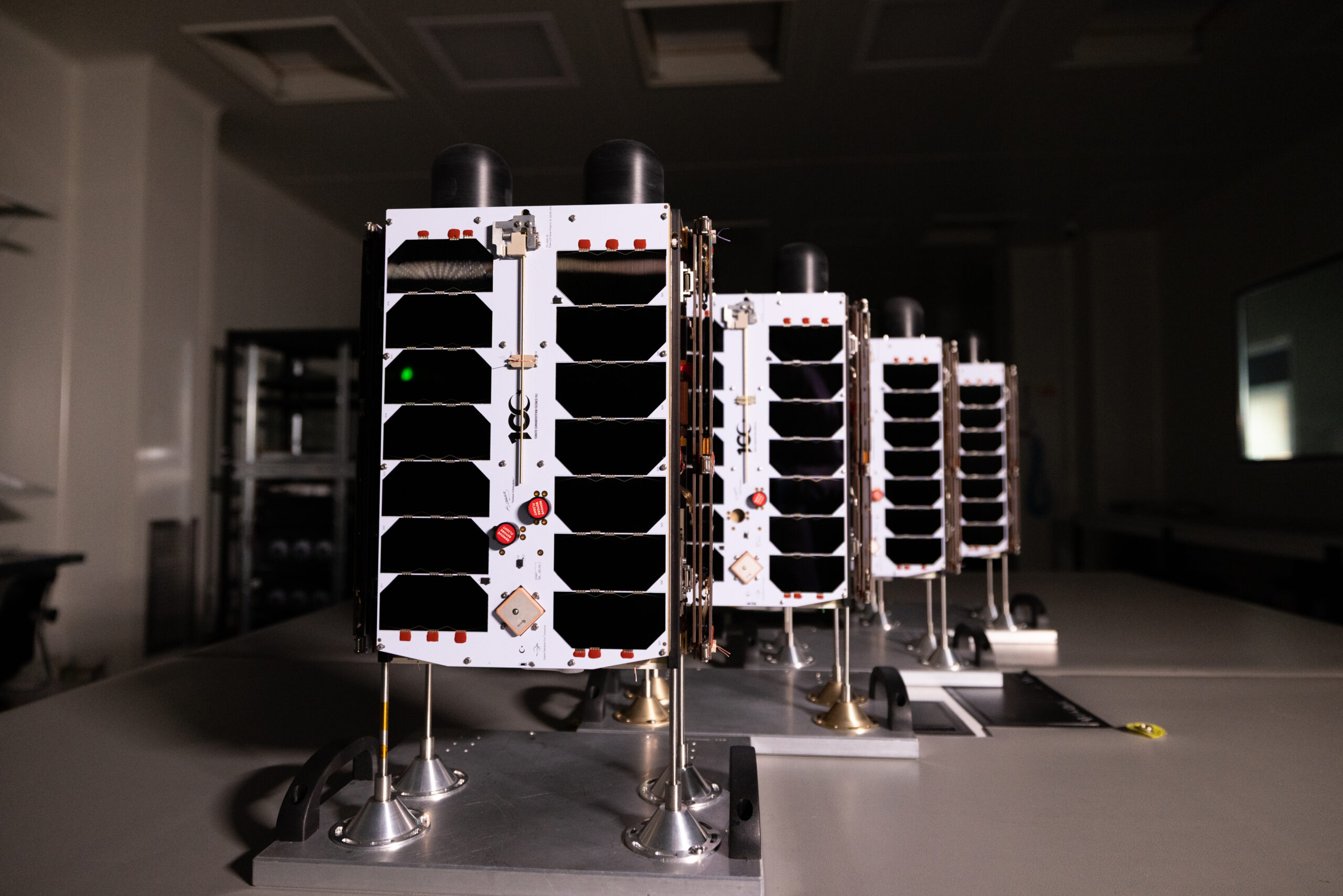
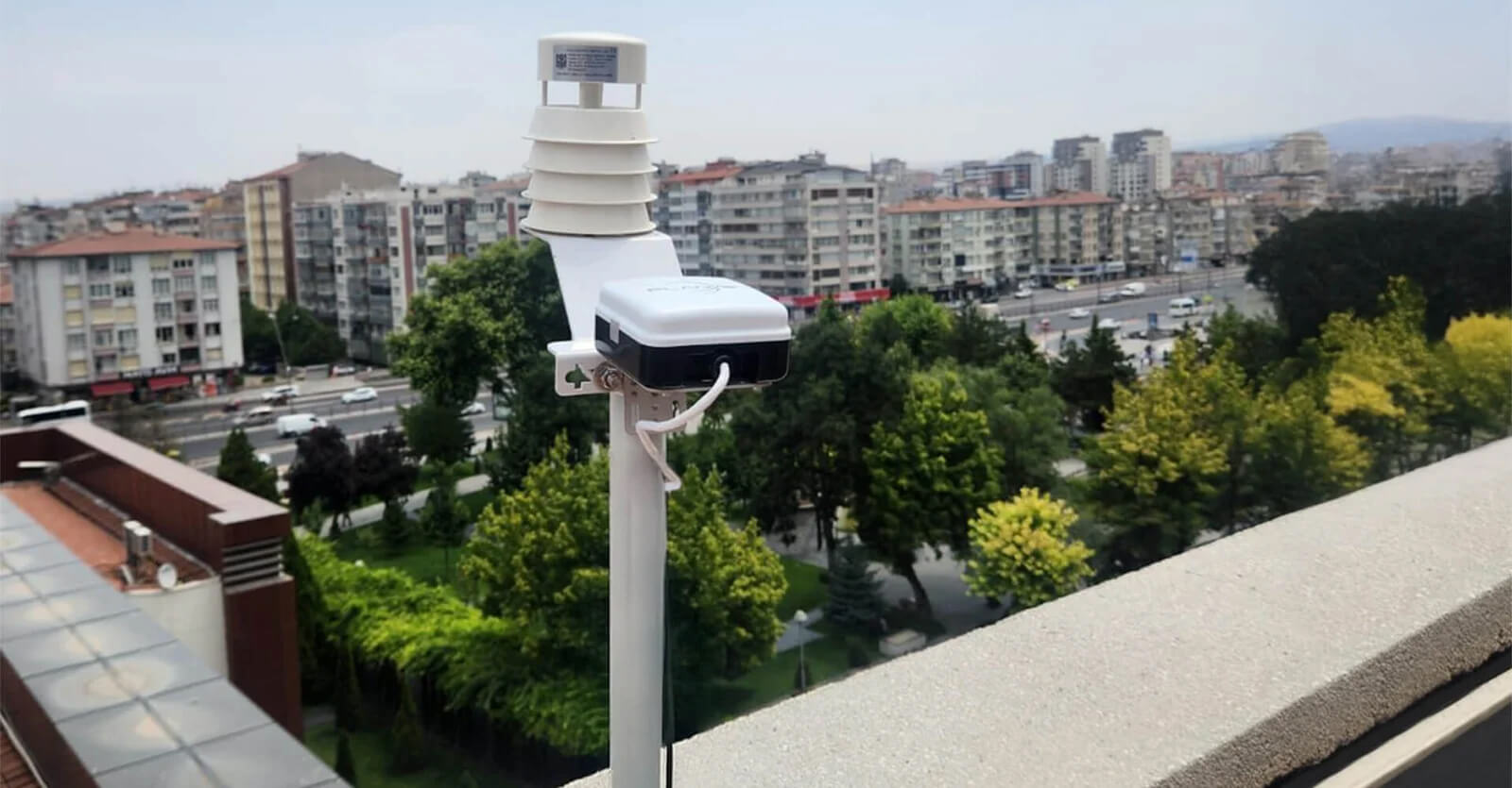
Connecta for Remote Agricultural Monitoring
Connecta enables satellite-based IoT connectivity for agricultural operations beyond terrestrial network coverage.
Through the Connecta IoT Network, sensors and monitoring devices deployed in remote fields can transmit data to operational platforms where it can be viewed, analyzed, and used by decision-makers.
This creates a direct link between field conditions and agricultural management teams.
For farming operations, this can support soil moisture monitoring, irrigation planning, equipment visibility, water resource management, environmental monitoring, and remote asset tracking.
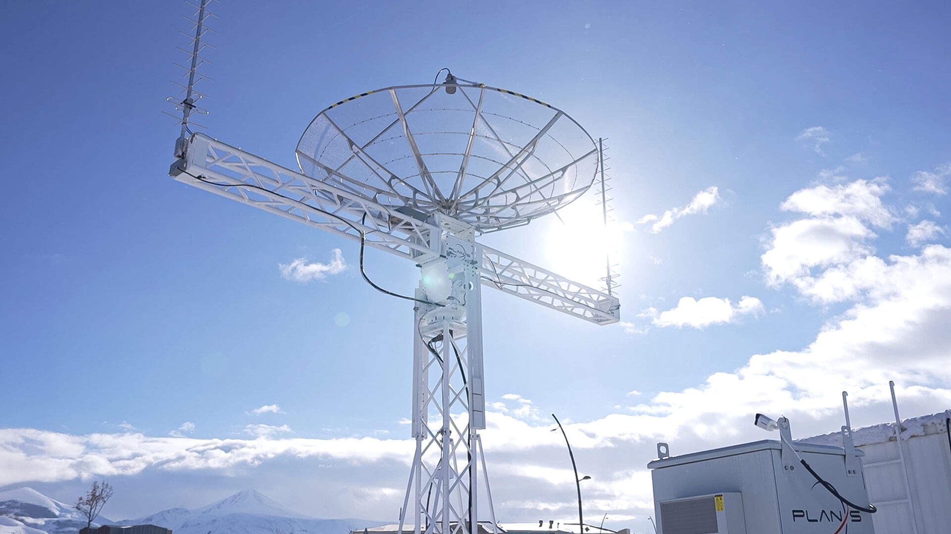
Connecta is designed to support IoT deployments in locations where traditional infrastructure may be unavailable or impractical. By combining satellite connectivity, IoT hardware, network infrastructure, and operational tools, it helps organizations maintain visibility across distributed agricultural assets.
This is especially valuable for operations managing multiple fields, remote irrigation infrastructure, or agricultural areas where connectivity has traditionally been a barrier to digitalization.
Building More Efficient Agricultural Operations
Water management remains one of the most important responsibilities in agriculture.
Improving irrigation efficiency requires a clear understanding of what is happening in the field, when conditions change, and where resources should be directed.
Satellite IoT creates a direct connection between field conditions and operational decision-making. Through continuous visibility into soil moisture, irrigation activity, crop conditions, and distributed assets, agricultural teams gain the information needed to allocate water more effectively and respond earlier to developing issues.
This supports not only day-to-day irrigation decisions, but also long-term planning.
Over time, consistent data can help teams understand seasonal patterns, evaluate irrigation performance, compare field zones, and improve resource management strategies.
For agricultural operations seeking greater efficiency, the ability to collect reliable data from remote fields can become a major operational advantage.
Plan-S Capabilities Behind Connecta
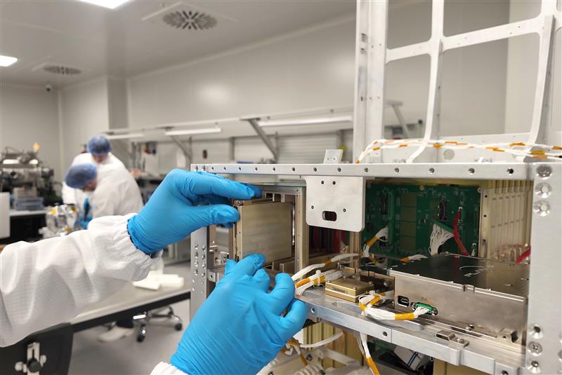
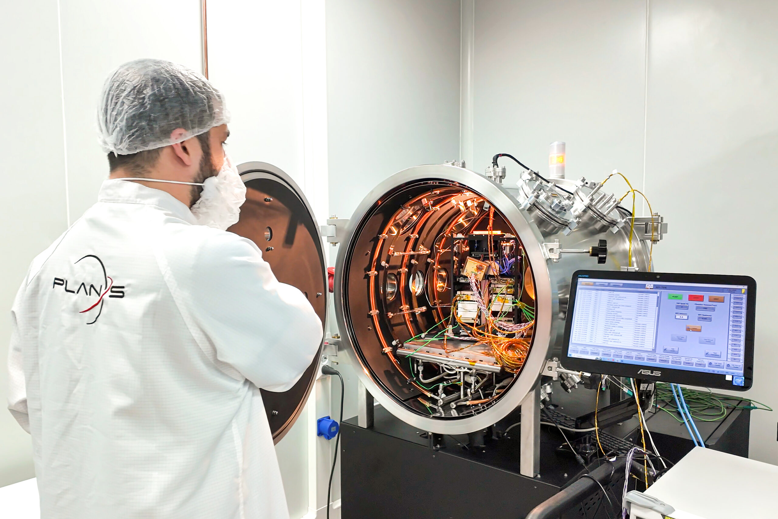
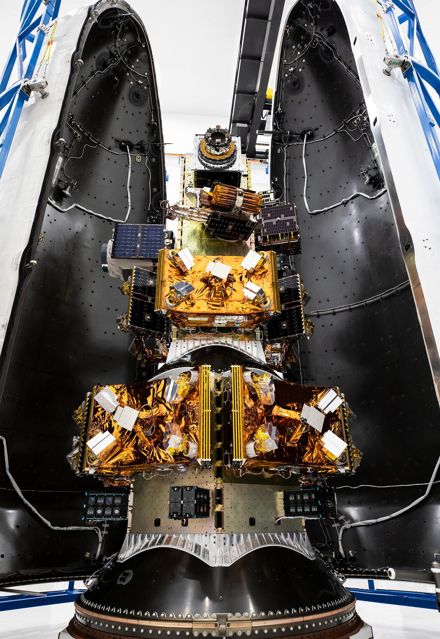
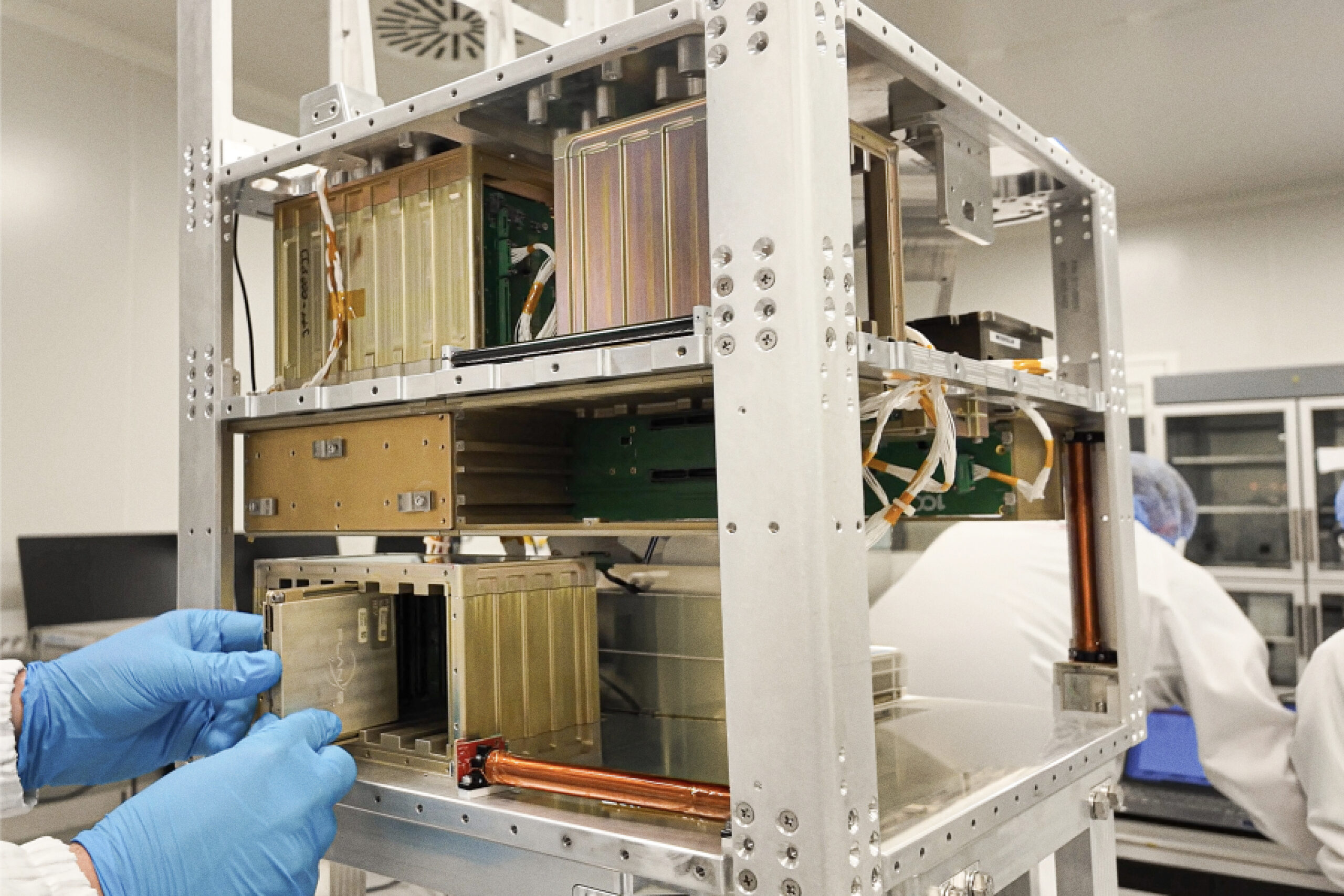
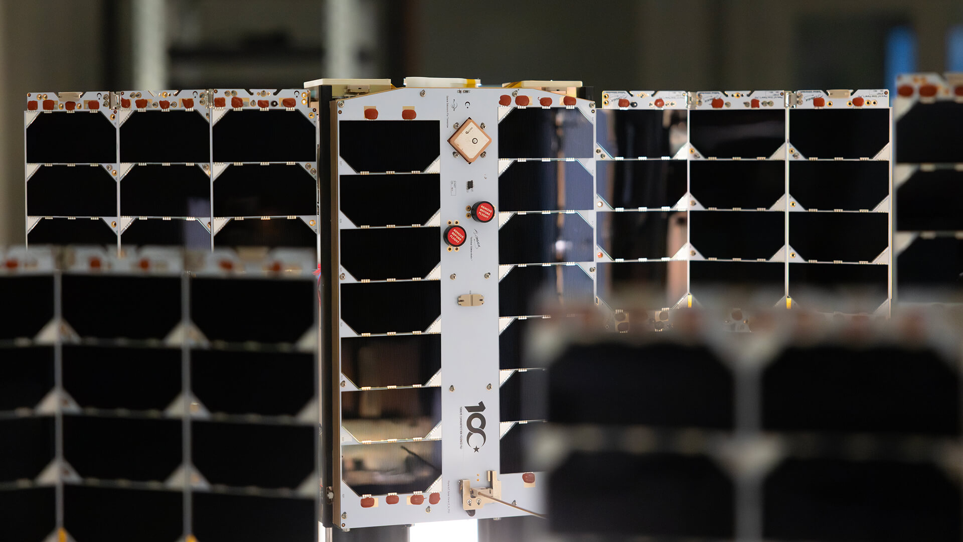
Connecta is powered by Plan-S’ expertise in satellite technologies, IoT connectivity, spacecraft development, ground infrastructure, and in-orbit operations.
Plan-S develops satellite-based connectivity capabilities through an integrated approach that brings together mission design, satellite manufacturing, payload integration, network infrastructure, ground segment operations, and service delivery. This end-to-end capability enables Connecta to provide a reliable IoT ecosystem for industries that depend on data from remote and distributed assets.
For agriculture, this means connectivity is not treated as a standalone service. It becomes part of a broader infrastructure designed to support field visibility, data continuity, and operational decision-making.
By combining satellite IoT, hardware solutions, network management, and application-level integration, Connecta helps agricultural organizations build smarter, more scalable, and more resilient monitoring systems.
From Soil Data to Smarter Decisions
The future of agriculture will increasingly depend on the ability to understand field conditions in real time.
As farms become more connected and resource management becomes more critical, reliable access to data from remote agricultural areas will play an important role in improving efficiency, productivity, and sustainability.
Satellite IoT helps make this possible by extending connectivity to the places where agricultural data is generated.
From soil moisture readings to irrigation insights, from remote sensors to operational platforms, connectivity transforms field information into clear and timely action.
Through Connecta, agricultural teams can maintain visibility across remote fields, improve irrigation planning, and make better decisions based on data collected directly from the field.
Because smarter agriculture begins with knowing what is happening where it matters most.
BLOG
Related Insights
Explore how space assets and ground infrastructure work together, use cases, architectures, and field results from Plan-S projects.
The Role of Systems Engineering in Small Satellite Mission Success
Systems engineering connects payload, power, thermal control, ADCS, communications, software, ground infrastructure, and operations into a coherent mission architecture. For small satellite missions, this system-level approach helps reduce integration risk, improve reliability, and ensure that every subsystem supports the mission objective.

LEOP Explained: What Happens After a Satellite Reaches Orbit?
Launch and Early Orbit Phase, or LEOP, is the critical stage after deployment when a satellite establishes communication, undergoes health checks, activates subsystems, verifies orbit, checks payload performance, and transitions into routine operations. A successful LEOP turns a launched spacecraft into an operational asset capable of delivering mission value.
Payload Integration for Small Satellites: What Mission Teams Should Know
Payload integration is a system-level process that aligns mechanical, electrical, thermal, data, software, and operational requirements within the spacecraft architecture. For small satellite missions, successful integration helps reduce risk, validate mission readiness, and ensure that the payload can deliver reliable value in orbit.

How End-to-End Satellite Services Reduce Mission Complexity
End-to-end satellite services reduce mission complexity by bringing mission design, spacecraft development, payload integration, testing, launch coordination, ground segment, data systems, and in-orbit operations under one integrated framework. With a single accountable mission partner, organizations can move from concept to orbit with greater clarity, control, and operational continuity.
Ground Segment 101: Why Satellites Need More Than Spacecraft to Deliver Value
A satellite alone creates potential, but the ground segment turns that potential into operational value. By connecting spacecraft to mission control, data downlink, processing systems, software platforms, and user applications, the ground segment enables satellites to deliver reliable information, control, and service continuity on Earth.
The Role of AIT in Building Reliable Small Satellites
Assembly, Integration, and Testing is one of the most critical phases in building reliable small satellites. By validating subsystems, interfaces, payload compatibility, environmental performance, and operational readiness before launch, AIT helps reduce mission risk and supports more predictable outcomes in orbit.
From Mission Concept to Orbit: A Step-by-Step Guide to Small Satellite Missions
A small satellite mission is a coordinated journey from concept definition and mission design to platform development, payload integration, testing, launch, licensing, operations, and data delivery. Through its end-to-end space services capabilities, Plan-S helps organizations transform mission objectives into reliable operational systems in orbit.
Weather Monitoring in Remote Areas: Keeping Environmental Data Flowing
Satellite IoT helps keep weather and environmental data flowing from remote monitoring points beyond terrestrial network coverage. Through Connecta, Plan-S enables reliable data transmission from distributed sensors and weather stations, supporting better planning, early warning, risk reduction, and long-term environmental visibility.
Smart Meter Reading in Remote Areas: How Satellite IoT Reduces Field Visits
Satellite IoT enables utilities to collect smart meter data from remote areas beyond terrestrial network coverage. Through Connecta Smart Meter Reader Modems and the Connecta IoT Network, Plan-S helps utilities reduce unnecessary field visits, improve data continuity, and maintain visibility across distributed service areas.
How LoRaWAN-Compatible Satellite IoT Enables Low-Power Data Transmission
LoRaWAN-compatible satellite IoT enables low-power data transmission from remote sensors, meters, trackers, and infrastructure assets operating beyond terrestrial coverage. Through Connecta, Plan-S combines satellite connectivity, IoT hardware, network infrastructure, and operational tools to support efficient, scalable, and long-term remote monitoring.
Hosted Payload Missions: A Faster Route to Flight Heritage
Hosted payload missions provide a practical route to in-orbit validation by allowing organizations to test sensors, communication systems, scientific instruments, and experimental payloads on existing spacecraft platforms. By building on Plan-S’ mission heritage and end-to-end space services capabilities, organizations can gain flight heritage while reducing the complexity of developing a dedicated satellite mission.
Why Flight Heritage Matters in Small Satellite Missions
Flight heritage gives satellite missions a stronger foundation by turning in-orbit experience into greater reliability, reduced uncertainty, and more mature spacecraft platforms. At Plan-S, each mission contributes to the evolution of flight-proven systems, supporting future missions from concept to orbit and from orbit to operational value.